Port Cardloch

Bay in Ayrshire

Scotland

Port Cardloch

Monument on Byne Hill Decrepit monument on hillside near Girvan
Monument on Byne Hill Credit: Chris Wimbush

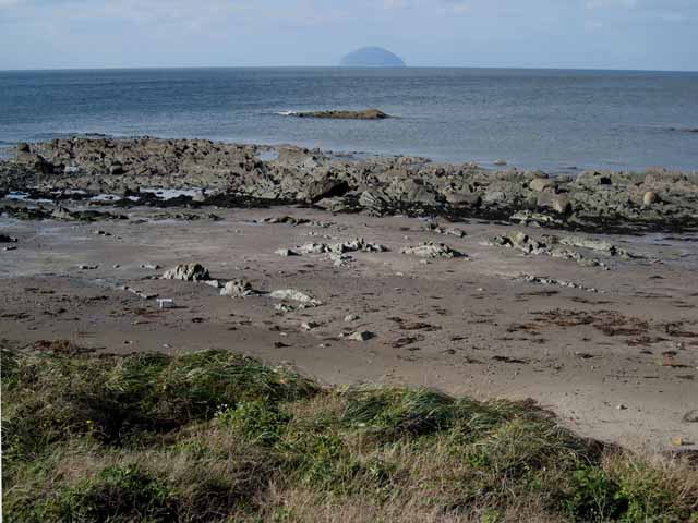
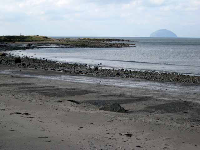
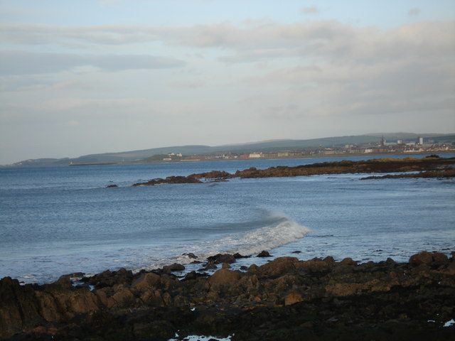
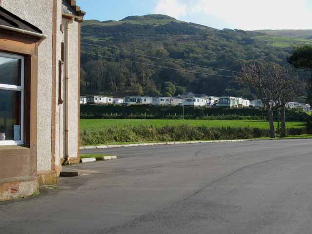
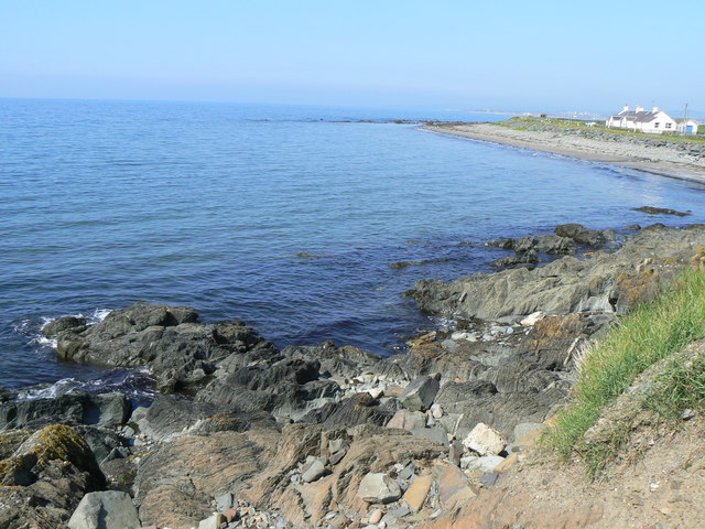
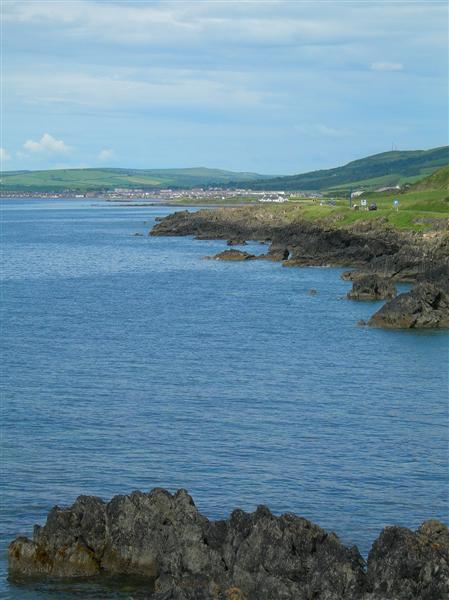
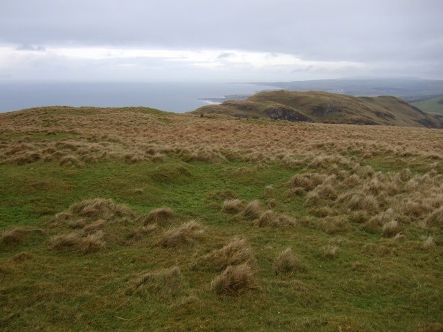
Port Cardloch is a picturesque bay located in the region of Ayrshire, Scotland. Situated on the western coast, it is known for its stunning natural beauty and peaceful atmosphere. The bay is nestled between rolling hills and offers captivating views of the surrounding landscape.

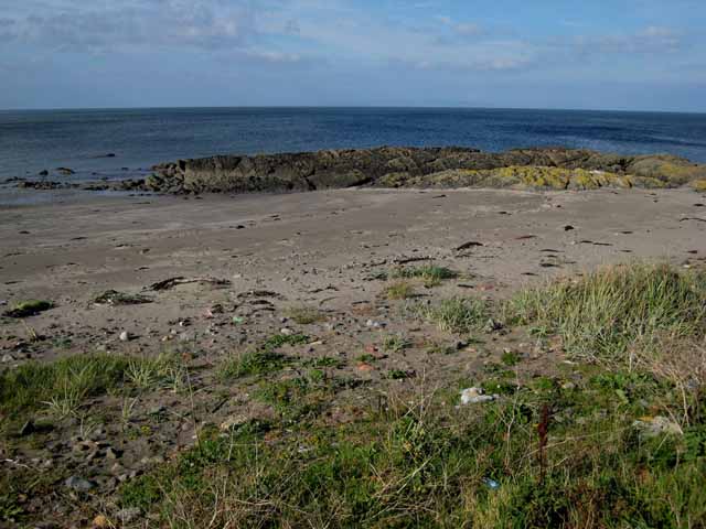
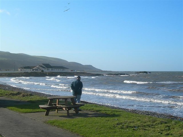
The beach at Port Cardloch is a major attraction for visitors, boasting golden sands and crystal-clear waters. It provides an idyllic setting for sunbathing, picnicking, and leisurely walks along the shore. The bay is also popular among water sports enthusiasts, who can enjoy activities such as swimming, kayaking, and windsurfing in its calm waters.

The area surrounding Port Cardloch is rich in wildlife, making it a haven for nature lovers. Seals, dolphins, and various species of seabirds can often be spotted in the bay, captivating observers with their graceful movements. The bay is also home to a diverse range of plant species, adding to its natural charm.

For those seeking a bit of history, Port Cardloch offers several points of interest. The nearby ruins of Cardloch Castle, a 16th-century fortress, provide a glimpse into the region's past. Visitors can explore the remains of the castle and learn about its historical significance.

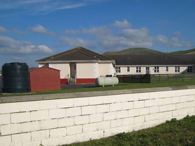
In terms of amenities, Port Cardloch has a few local shops and cafes catering to the needs of visitors. There are also ample parking facilities available for those arriving by car.

Overall, Port Cardloch is a captivating bay that offers a blend of natural beauty, recreational activities, and historical intrigue, making it a must-visit destination in Ayrshire.

If you have any feedback on the listing, please let us know in the comments section below.

Port Cardloch Images

Images are sourced within 2km of 55.215091/-4.8816052 or Grid Reference NX1694. Thanks to Geograph Open Source API. All images are credited.
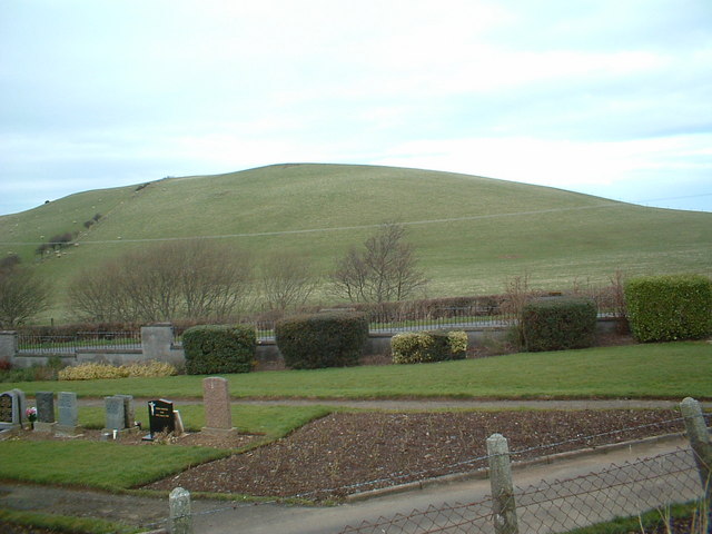
Monument on Byne Hill Decrepit monument on hillside near Girvan
Monument on Byne Hill
Decrepit monument on hillside near Girvan
Shalloch Hill and cemetery
Ardmillan Castle Holiday Park Sited on the A77 just south of Girvan
Ardmillan Castle Holiday Park
Sited on the A77 just south of Girvan
Rocky shoreline at Black Neuk, south of Girvan Ailsa Craig <a href="https://www.geograph.org.uk/gridref/NX0199">NX0199</a> dominates the horizon.
Rocky shoreline at Black Neuk, south of Girvan
Ailsa Craig NX0199 dominates the horizon.
Woodland Bay, south of Girvan Ailsa Craig <a href="https://www.geograph.org.uk/gridref/NX0199">NX0199</a> dominates the horizon.
Woodland Bay, south of Girvan
Ailsa Craig NX0199 dominates the horizon.
Horse Rock, south of Girvan
Small reservoir south of Girvan Popular with anglers. Byne Hill <a href="https://www.geograph.org.uk/gridref/NX1794">NX1794</a> in the background.
Small reservoir south of Girvan
Popular with anglers. Byne Hill NX1794 in the background.
Cemetery south of Girvan
Woodlands Bay Looking across bay towards Girvan.
Woodlands Bay
Looking across bay towards Girvan.
Ardmillan Castle Holiday Park Viewed from the lodge on the A77.
Ardmillan Castle Holiday Park
Viewed from the lodge on the A77.
Ainslie Manor Nursing Home Built right on the coast to the south of Girvan.
Ainslie Manor Nursing Home
Built right on the coast to the south of Girvan.
The valley of the Bynehill Burn Viewed from Pinminnoch Farm. The hill on the skyline is Byne Hill [<a href="https://www.geograph.org.uk/gridref/NX1794">NX1794</a>]
The valley of the Bynehill Burn
Viewed from Pinminnoch Farm. The hill on the skyline is Byne Hill [NX1794]
Ainslie Manor Nursing Home Situated right on the coast on the A77 south of Girvan.
Ainslie Manor Nursing Home
Situated right on the coast on the A77 south of Girvan.
Ardwell Bay On the coast south of Girvan.
Ardwell Bay
On the coast south of Girvan.
Towards Girvan Looking along south Ayrshire's spectacular rocky coastline towards Girvan on a fine June afternoon.
Towards Girvan
Looking along south Ayrshire's spectacular rocky coastline towards Girvan on a fine June afternoon.
Summit of Cairn Hill Looking north towards Girvan
Summit of Cairn Hill
Looking north towards Girvan
Sheepfold on Fell Hill Looking towards Grey Hill
Sheepfold on Fell Hill
Looking towards Grey Hill
The Cauld Shore Looking south from the picnic site at Girvan's Cauld Shore on a fine but cool February morning.
The Cauld Shore
Looking south from the picnic site at Girvan's Cauld Shore on a fine but cool February morning.
Show me another place!

Port Cardloch is located at Grid Ref: NX1694 (Lat: 55.215091, Lng: -4.8816052)

Unitary Authority: South Ayrshire

Police Authority: Ayrshire

What 3 Words

///spooked.generated.beats. Near Girvan, South Ayrshire

Nearby Locations

Crow Wood Port Cardloch

Related Wikis

Ardmillan Castle

Ardmillan Castle is a ruinous Scottish castle dating from the late 16th century. It lies on the A77 on the edge of the Firth of Clyde south of Girvan....

Ian Henderson (RAF officer)

Captain Ian Henry David Henderson (2 October 1896 – 21 June 1918) was a British World War I flying ace credited with seven aerial victories. == Biography... ==

Girvan

Girvan (Scottish Gaelic: Inbhir Gharbhain, "mouth of the River Girvan") is a burgh and harbour town in Carrick, South Ayrshire, Scotland. Girvan is situated...
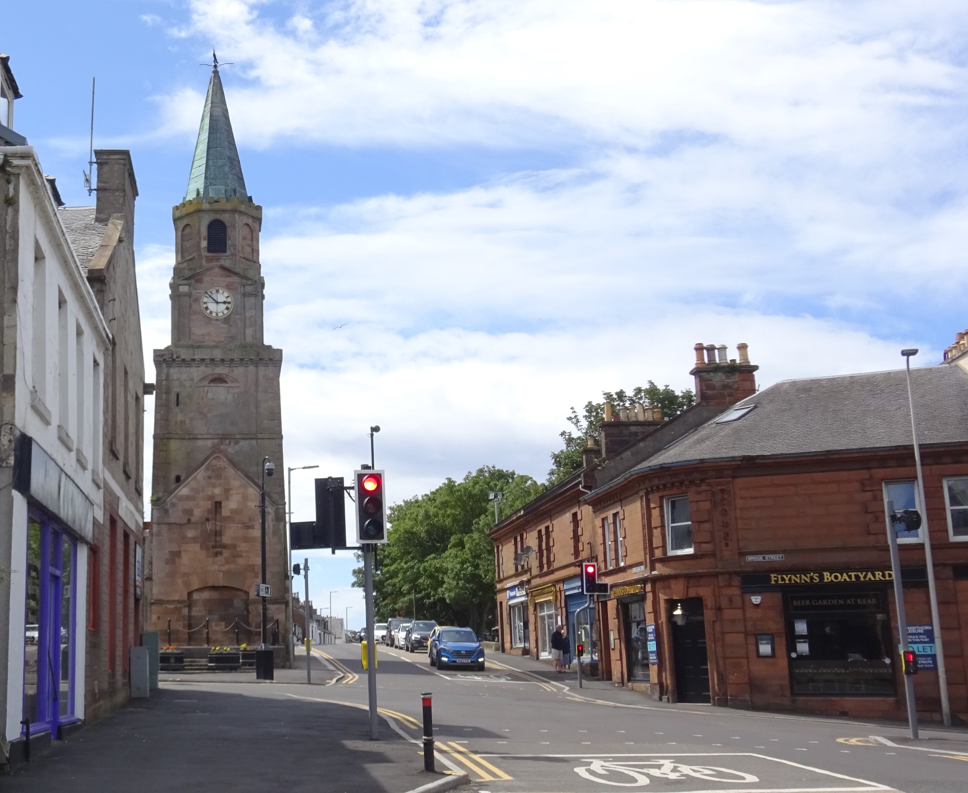
Girvan Steeple

The Girvan Steeple is a steeple and the site of a former townhouse in Girvan, South Ayrshire, Scotland. Its popular name, "Stumpy Tower", "Stumpy Jail...

Nearby Amenities

Located within 500m of 55.215091,-4.8816052
Created By: almien_coastlines
Lat/Long: 55.218121/-4.879043
Created By: almien_coastlines
Lat/Long: 55.217985/-4.879484
Created By: almien_coastlines
Lat/Long: 55.217851/-4.879926
Created By: almien_coastlines
Lat/Long: 55.217336/-4.880127
Created By: almien_coastlines
Lat/Long: 55.215281/-4.880478
Created By: almien_coastlines
Lat/Long: 55.21451/-4.880665
Created By: almien_coastlines
Lat/Long: 55.214496/-4.88156
Created By: almien_coastlines
Lat/Long: 55.214084/-4.883333
Created By: almien_coastlines
Lat/Long: 55.213929/-4.885117
Created By: almien_coastlines
Lat/Long: 55.213413/-4.885318
Created By: almien_coastlines
Lat/Long: 55.212755/-4.886406
Created By: almien_coastlines
Lat/Long: 55.212479/-4.887737
Parking
Source: survey
Lat/Long: 55.2136979/-4.8836836
Power: pole
Lat/Long: 55.2109836/-4.8814439
Power: pole
Lat/Long: 55.2117581/-4.8808395
Power: pole
Lat/Long: 55.2122376/-4.8804713
Power: pole
Lat/Long: 55.2126121/-4.8800274
Power: pole
Lat/Long: 55.2128478/-4.8793687
Power: pole
Lat/Long: 55.2131939/-4.8784221
Power: pole
Lat/Long: 55.213528/-4.8774801
Power: pole
Lat/Long: 55.2136047/-4.8772393
Power: pole
Lat/Long: 55.2138472/-4.8765428
Power: pole
Lat/Long: 55.2141866/-4.8756221
Power: pole
Lat/Long: 55.214689/-4.8742056
The data included in this document is from www.openstreetmap.org. The data is made available under ODbL.

Have you been to Port Cardloch?

Leave your review of Port Cardloch below (or comments, questions and feedback).