Crow Wood

Wood, Forest in Ayrshire

Scotland

Crow Wood

Monument on Byne Hill Decrepit monument on hillside near Girvan
Monument on Byne Hill Credit: Chris Wimbush

Crow Wood is a picturesque forest located in Ayrshire, Scotland. Covering an area of approximately 100 acres, it is a popular destination for nature lovers and outdoor enthusiasts. The wood is primarily composed of mature broadleaf trees, such as oak, beech, and birch, which create a dense canopy and provide a haven for a variety of wildlife.

The forest is crisscrossed by a network of well-maintained walking trails, making it an ideal location for hikers and walkers of all ages and abilities. These trails take visitors on a journey through the wood, allowing them to immerse themselves in the tranquility and natural beauty of the surroundings. The paths are well signposted, ensuring visitors can navigate the forest with ease.

Crow Wood is also home to a diverse range of flora and fauna. Wildflowers, ferns, and mosses can be found carpeting the forest floor, while various species of birds, including woodpeckers and owls, can be heard and spotted throughout the year. Squirrels and other small mammals are also commonly sighted.

The wood is open to the public year-round and offers ample parking facilities. There are picnic areas scattered throughout the forest, providing the perfect opportunity for visitors to relax and enjoy a packed lunch amidst the peaceful surroundings. Additionally, the wood is equipped with facilities such as toilets and information boards to enhance the visitor experience.

Overall, Crow Wood in Ayrshire is a nature lover's paradise, offering a serene escape from the hustle and bustle of everyday life. Its enchanting trails, diverse wildlife, and natural beauty make it an excellent destination for anyone seeking a peaceful and enjoyable outdoor experience.

If you have any feedback on the listing, please let us know in the comments section below.
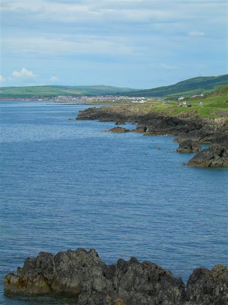
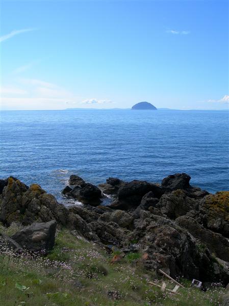
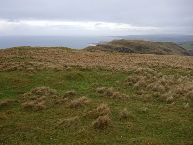
Crow Wood Images

Images are sourced within 2km of 55.209707/-4.8796753 or Grid Reference NX1694. Thanks to Geograph Open Source API. All images are credited.
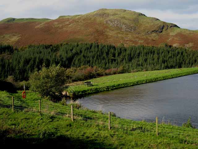
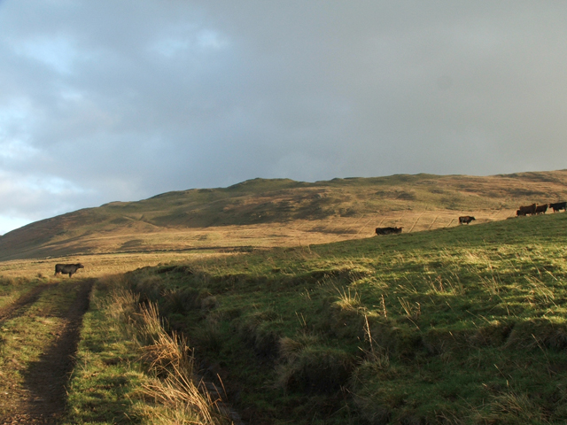
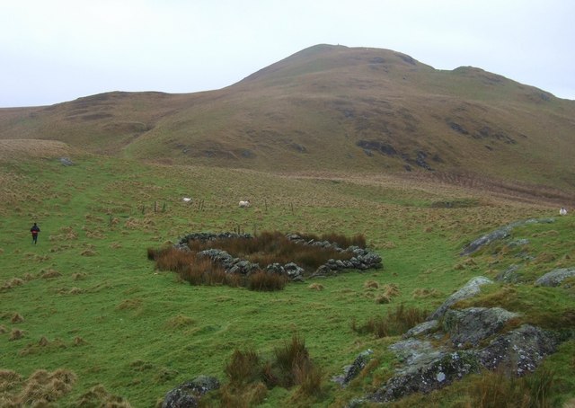
Monument on Byne Hill Decrepit monument on hillside near Girvan
Monument on Byne Hill
Decrepit monument on hillside near Girvan
Ardmillan Castle Holiday Park Sited on the A77 just south of Girvan
Ardmillan Castle Holiday Park
Sited on the A77 just south of Girvan
Rocky shoreline at Black Neuk, south of Girvan Ailsa Craig <a href="https://www.geograph.org.uk/gridref/NX0199">NX0199</a> dominates the horizon.
Rocky shoreline at Black Neuk, south of Girvan
Ailsa Craig NX0199 dominates the horizon.
Woodland Bay, south of Girvan Ailsa Craig <a href="https://www.geograph.org.uk/gridref/NX0199">NX0199</a> dominates the horizon.
Woodland Bay, south of Girvan
Ailsa Craig NX0199 dominates the horizon.
Horse Rock, south of Girvan
Pinminnoch Farm, near Girvan On the A714 Girvan to Newton Stewart road.
Pinminnoch Farm, near Girvan
On the A714 Girvan to Newton Stewart road.
Small reservoir south of Girvan Popular with anglers. Byne Hill <a href="https://www.geograph.org.uk/gridref/NX1794">NX1794</a> in the background.
Small reservoir south of Girvan
Popular with anglers. Byne Hill NX1794 in the background.
Woodlands Bay Looking across bay towards Girvan.
Woodlands Bay
Looking across bay towards Girvan.
View from the summit of Grey Hill Looking Northwards over Girvan and up the Ayrshire coast. Turnberry is the last headland in this picture. Enjoy
View from the summit of Grey Hill
Looking Northwards over Girvan and up the Ayrshire coast. Turnberry is the last headland in this picture. Enjoy
Grey Hill A view looking up to the Grey Hill from the west
Grey Hill
A view looking up to the Grey Hill from the west
Ardmillan Castle Holiday Park Viewed from the lodge on the A77.
Ardmillan Castle Holiday Park
Viewed from the lodge on the A77.
Ainslie Manor Nursing Home Built right on the coast to the south of Girvan.
Ainslie Manor Nursing Home
Built right on the coast to the south of Girvan.
The valley of the Bynehill Burn Viewed from Pinminnoch Farm. The hill on the skyline is Byne Hill [<a href="https://www.geograph.org.uk/gridref/NX1794">NX1794</a>]
The valley of the Bynehill Burn
Viewed from Pinminnoch Farm. The hill on the skyline is Byne Hill [NX1794]
Ardwell Bay On the coast south of Girvan.
Ardwell Bay
On the coast south of Girvan.
Towards Girvan Looking along south Ayrshire's spectacular rocky coastline towards Girvan on a fine June afternoon.
Towards Girvan
Looking along south Ayrshire's spectacular rocky coastline towards Girvan on a fine June afternoon.
Clyde View Looking towards Ailsa Craig and the Mull of Kintyre from south Ayrshire's rocky coastline to the south of Girvan.
Clyde View
Looking towards Ailsa Craig and the Mull of Kintyre from south Ayrshire's rocky coastline to the south of Girvan.
Summit of Cairn Hill Looking north towards Girvan
Summit of Cairn Hill
Looking north towards Girvan
Sheepfold on Fell Hill Looking towards Grey Hill
Sheepfold on Fell Hill
Looking towards Grey Hill
Show me another place!

Crow Wood is located at Grid Ref: NX1694 (Lat: 55.209707, Lng: -4.8796753)

Unitary Authority: South Ayrshire

Police Authority: Ayrshire

What 3 Words

///staked.store.districts. Near Girvan, South Ayrshire

Nearby Locations

Crow Wood Port Cardloch

Related Wikis

Ardmillan Castle

Ardmillan Castle is a ruinous Scottish castle dating from the late 16th century. It lies on the A77 on the edge of the Firth of Clyde south of Girvan....

Ian Henderson (RAF officer)

Captain Ian Henry David Henderson (2 October 1896 – 21 June 1918) was a British World War I flying ace credited with seven aerial victories. == Biography... ==

Girvan

Girvan (Scottish Gaelic: Inbhir Gharbhain, "mouth of the River Girvan") is a burgh and harbour town in Carrick, South Ayrshire, Scotland. Girvan is situated...

Girvan Steeple

The Girvan Steeple is a steeple and the site of a former townhouse in Girvan, South Ayrshire, Scotland. Its popular name, "Stumpy Tower", "Stumpy Jail...

Nearby Amenities

Located within 500m of 55.209707,-4.8796753
Power: pole
Lat/Long: 55.2081993/-4.8869895
Power: pole
Lat/Long: 55.2085778/-4.8854502
Power: pole
Lat/Long: 55.2089604/-4.8839133
Power: pole
Lat/Long: 55.2092998/-4.8832051
Power: pole
Lat/Long: 55.2096568/-4.8824709
Power: pole
Lat/Long: 55.2102293/-4.8820388
Power: pole
Lat/Long: 55.2109836/-4.8814439
Power: pole
Lat/Long: 55.2117581/-4.8808395
Power: pole
Lat/Long: 55.2122376/-4.8804713
Power: pole
Lat/Long: 55.2126121/-4.8800274
Power: pole
Lat/Long: 55.2128478/-4.8793687
Power: pole
Lat/Long: 55.2131939/-4.8784221
Power: pole
Lat/Long: 55.213528/-4.8774801
Power: pole
Lat/Long: 55.2136047/-4.8772393
The data included in this document is from www.openstreetmap.org. The data is made available under ODbL.

Have you been to Crow Wood?

Leave your review of Crow Wood below (or comments, questions and feedback).