Kerrycroy Bay
Bay in Buteshire
Scotland
Kerrycroy Bay
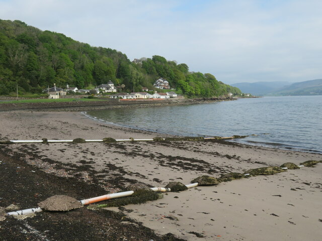
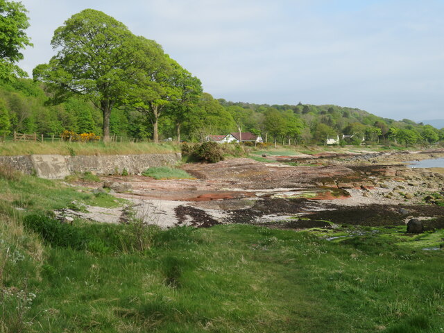
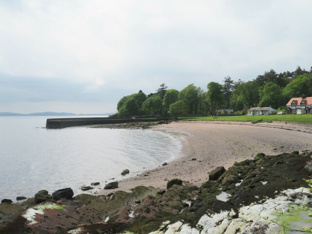
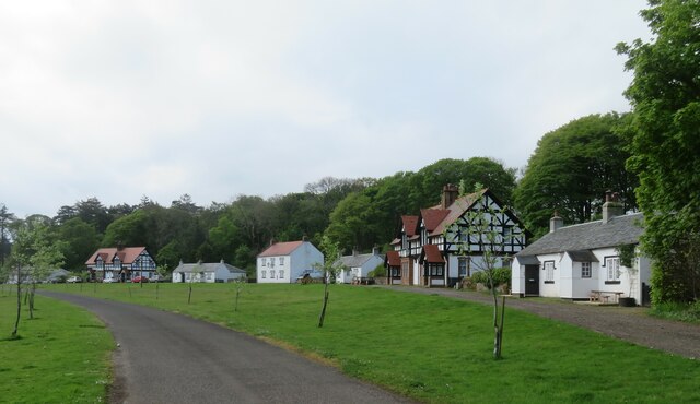
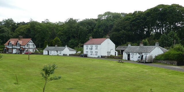
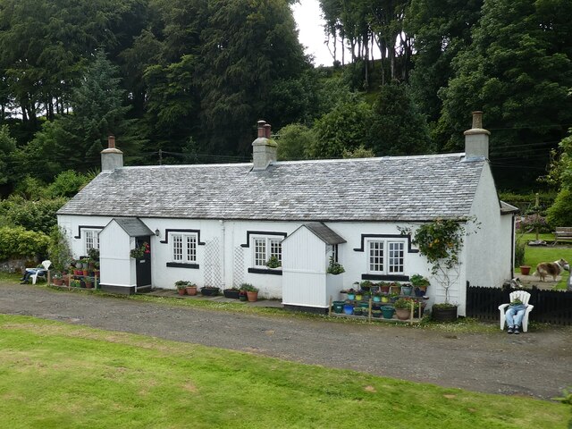
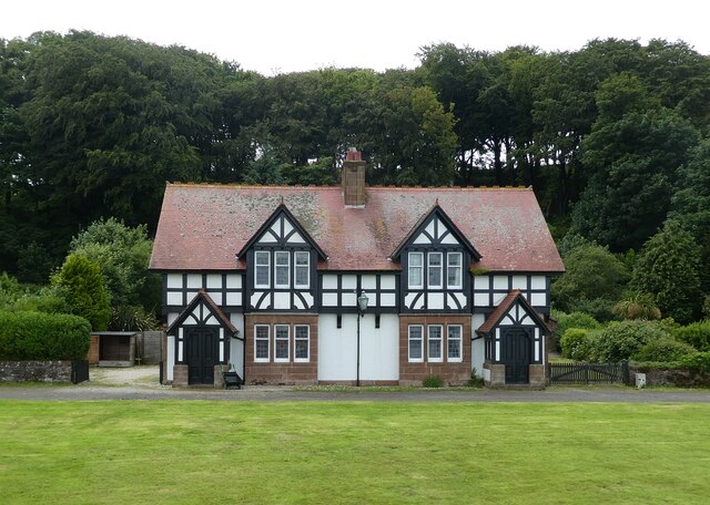
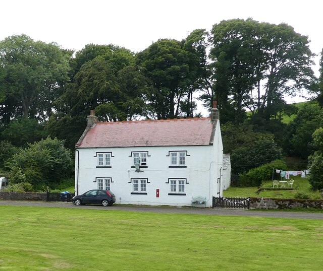
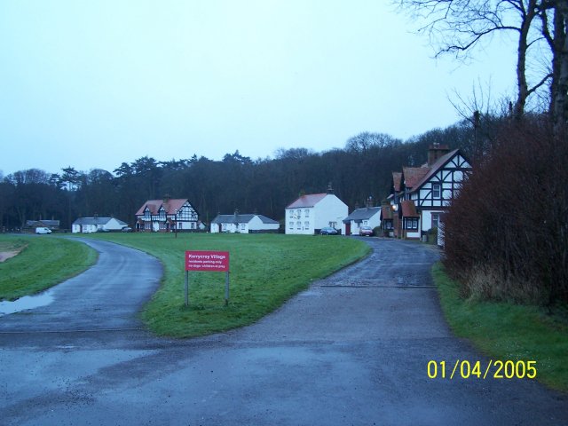
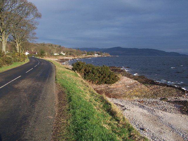
Kerrycroy Bay is a picturesque bay located on the eastern coast of the Isle of Bute in Buteshire, Scotland. It is a popular tourist destination known for its stunning natural beauty and tranquil atmosphere.
The bay stretches for approximately 1.5 miles and is framed by rolling hills and lush greenery, offering visitors breathtaking panoramic views. The bay is also home to a sandy beach, making it an ideal spot for sunbathing, picnicking, and enjoying various water activities such as swimming and kayaking.
Kerrycroy Bay is surrounded by a diverse ecosystem, providing a habitat for a wide range of marine and bird species. Birdwatchers often flock to the bay to catch a glimpse of various seabirds such as gulls, cormorants, and herons. The bay is also known for its rock pools, which are teeming with fascinating marine life such as crabs, starfish, and anemones, providing an exciting opportunity for nature enthusiasts to explore.
The surrounding area offers a range of amenities and facilities for visitors, including parking, public toilets, and nearby cafes and restaurants. There are also several walking trails in the vicinity, allowing visitors to explore the scenic landscape and enjoy the fresh sea air.
Overall, Kerrycroy Bay is a hidden gem on the Isle of Bute, offering visitors a peaceful and idyllic setting to relax and appreciate the beauty of nature.
If you have any feedback on the listing, please let us know in the comments section below.
Kerrycroy Bay Images
Images are sourced within 2km of 55.8096/-5.02125 or Grid Reference NS1061. Thanks to Geograph Open Source API. All images are credited.
![Seashore rocks A large boulder on the shore with patches of smooth old red sandstone, and with large areas of the Bute Conglomerate [the knobbly stuff] of Devonian age.](https://s0.geograph.org.uk/geophotos/07/17/82/7178220_bd5c5771.jpg)


Kerrycroy Bay is located at Grid Ref: NS1061 (Lat: 55.8096, Lng: -5.02125)
Unitary Authority: Argyll and Bute
Police Authority: Argyll and West Dunbartonshire
What 3 Words
///sensual.seat.departure. Near Rothesay, Argyll & Bute
Nearby Locations
Related Wikis
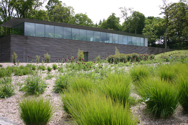
Mount Stuart visitor centre
The Mount Stuart visitor centre on the Bute estate, near Rothsay on the Island of Bute was designed by the architect Alfred Munkenbeck of Munkenbeck +...
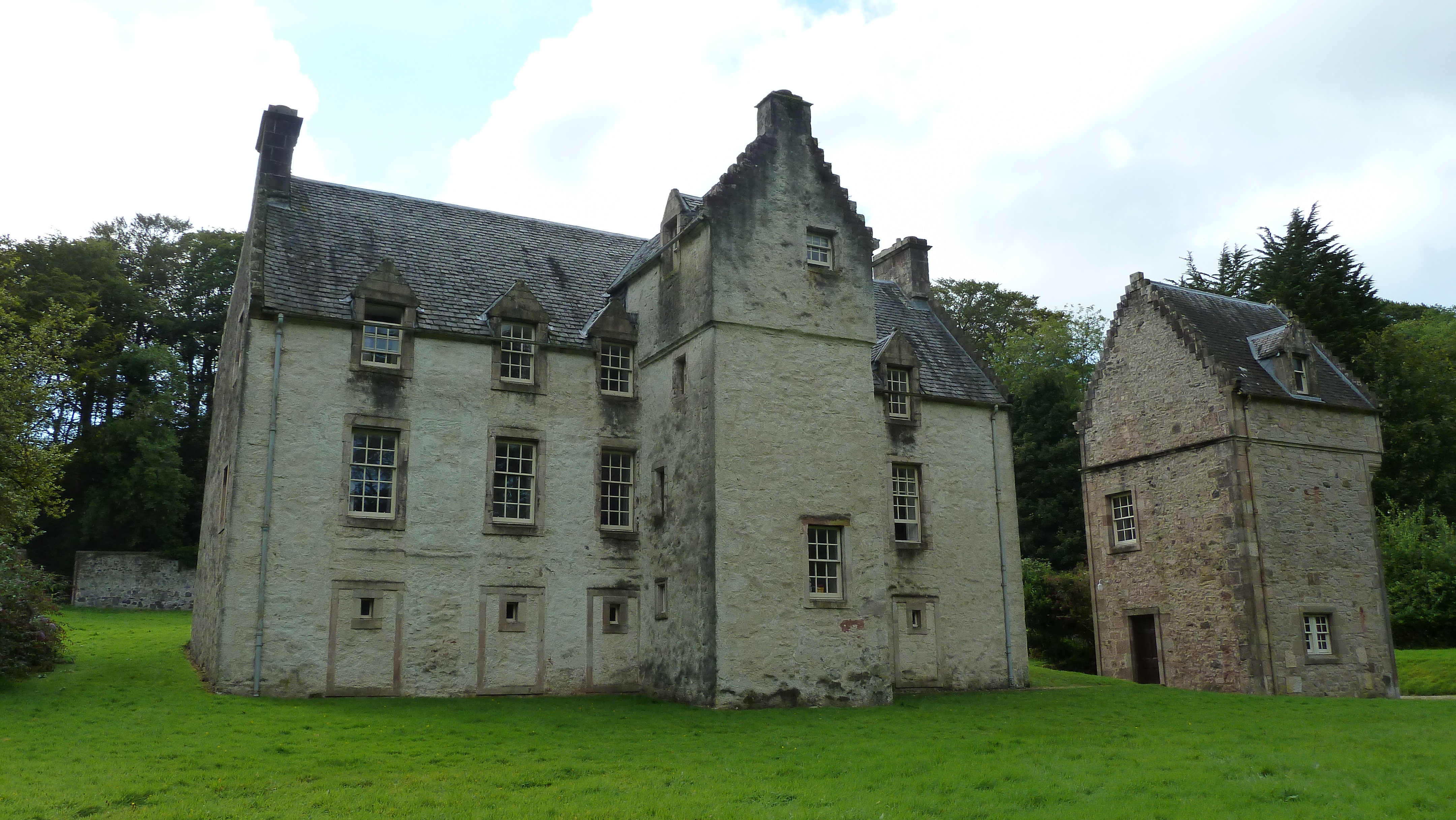
Ascog House
Ascog House is a large 17th-century mansion house at Ascog on the Isle of Bute, southwest Scotland. The house is in the care of the Landmark Trust, and...

Balmory Hall
Balmory Hall is a category A listed Victorian Italianate mansion located near Ascog in the Isle of Bute, Scotland, just west of Ascog House. The hall is...

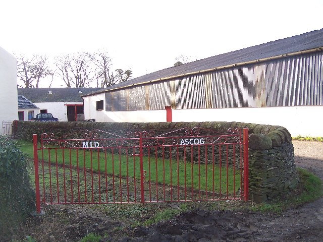
Ascog
Ascog (Scottish Gaelic: Àsgaig) is a small village on the Isle of Bute, within Argyll and Bute council area, Scotland. The village is within the parish...
Nearby Amenities
Located within 500m of 55.8096,-5.02125Have you been to Kerrycroy Bay?
Leave your review of Kerrycroy Bay below (or comments, questions and feedback).