Brodick Bay

Bay in Buteshire

Scotland

Brodick Bay

The end of the Brodick ferry jetty Taken from the bow of the MV Isle of Arran while berthed.
The end of the Brodick ferry jetty Credit: Gordon Brown

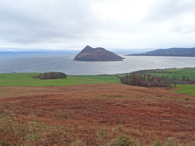
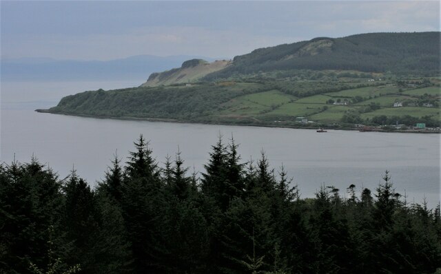
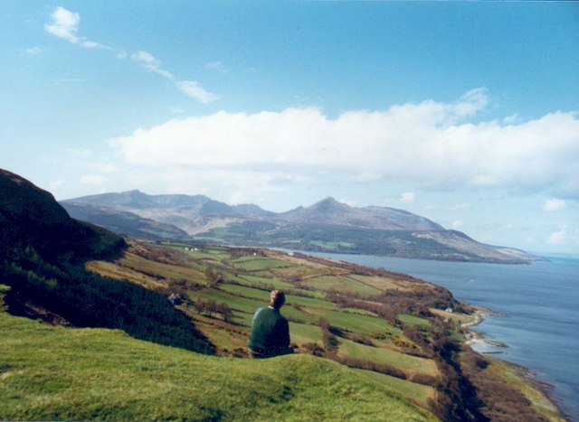
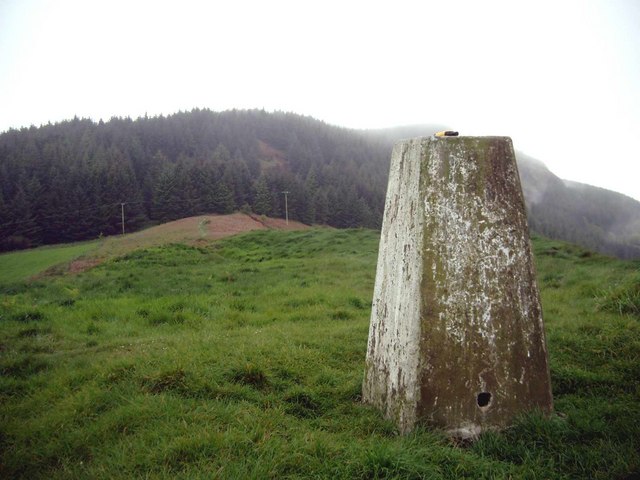
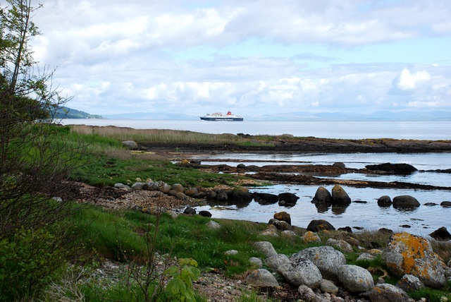
Brodick Bay is a picturesque bay located on the Isle of Arran, in the county of Buteshire, Scotland. It is situated on the eastern coast of the island, facing the Firth of Clyde. The bay is surrounded by stunning natural landscapes, with the backdrop of the majestic Arran Mountains.

The bay is known for its beautiful sandy beach, which stretches for approximately one mile. The beach is a popular spot for visitors and locals alike, offering a perfect setting for picnics, sunbathing, and leisurely strolls along the shore. The clear blue waters of the bay are also ideal for swimming and water sports activities, attracting enthusiasts from all around.

In addition to its natural beauty, Brodick Bay is home to Brodick Castle, a historic landmark that dates back to the 13th century. The castle, which sits on a hill overlooking the bay, offers visitors a glimpse into the island's rich history through its impressive architecture and well-preserved interiors. The surrounding gardens and woodland trails provide a tranquil setting for a leisurely walk and exploration of the area.

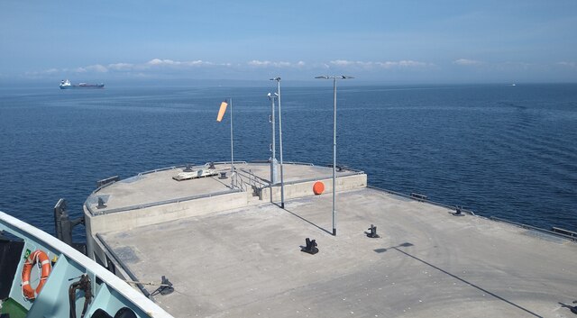
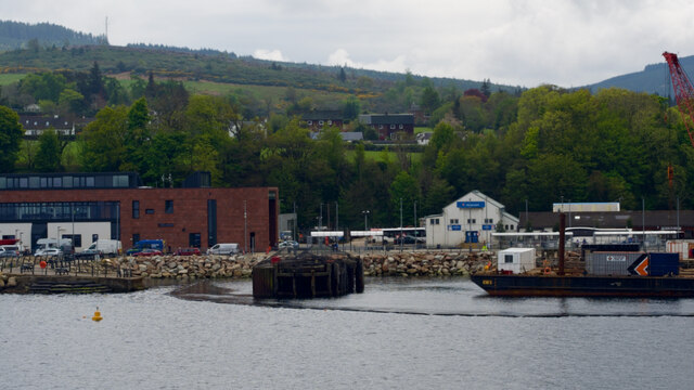
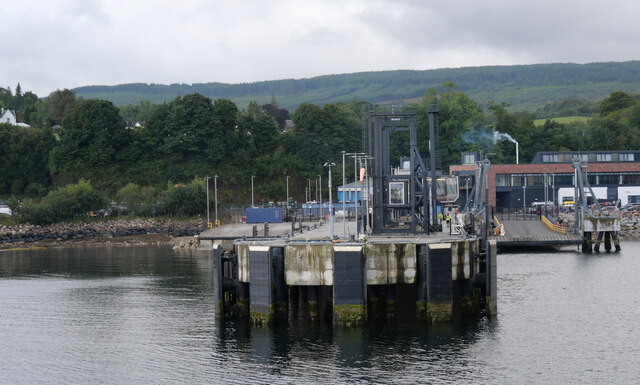
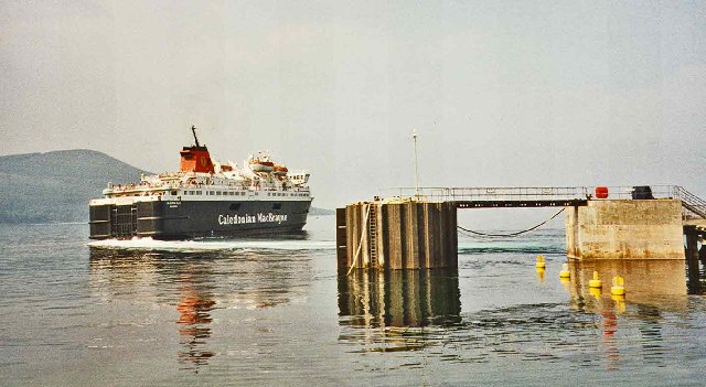
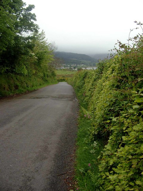
Brodick Bay is well-served by amenities and facilities, including cafes, restaurants, and accommodations, ensuring a comfortable stay for visitors. The bay also serves as a gateway to the rest of the island, with regular ferry services connecting it to the mainland.

Overall, Brodick Bay is a captivating destination, combining natural beauty, historical significance, and a range of activities for visitors to enjoy. Whether seeking relaxation, adventure, or cultural exploration, this bay offers something for everyone.

If you have any feedback on the listing, please let us know in the comments section below.

Brodick Bay Images

Images are sourced within 2km of 55.570945/-5.1063021 or Grid Reference NS0435. Thanks to Geograph Open Source API. All images are credited.

The end of the Brodick ferry jetty Taken from the bow of the MV Isle of Arran while berthed.
The end of the Brodick ferry jetty
Taken from the bow of the MV Isle of Arran while berthed.
Holy Island View From near the trig point above Clauchlands is a fine view across to Holy Island.
Dead Bracken conspicuous in the foreground.
Holy Island View
From near the trig point above Clauchlands is a fine view across to Holy Island. Dead Bracken conspicuous in the foreground.
Approaching Brodick
Approaching Brodick
Dun Fionn, Clauchland Hills The bare hill just left of centre is Dun Fionn, a hillfort at the eastern end of the Clauchland Hills. It is a Scheduled Monument <span class="nowrap"><a title="http://portal.historicenvironment.scot/designation/SM4710" rel="nofollow ugc noopener" href="http://portal.historicenvironment.scot/designation/SM4710">Link</a><img style="margin-left:2px;" alt="External link" title="External link - shift click to open in new window" src="https://s1.geograph.org.uk/img/external.png" width="10" height="10"/></span>. See Canmore <span class="nowrap"><a title="https://canmore.org.uk/site/40197/arran-clauchlands-dun-fionn" rel="nofollow ugc noopener" href="https://canmore.org.uk/site/40197/arran-clauchlands-dun-fionn">Link</a><img style="margin-left:2px;" alt="External link" title="External link - shift click to open in new window" src="https://s1.geograph.org.uk/img/external.png" width="10" height="10"/></span> for more information.

On the left is Corriegills Point.

Camera location is on the slopes above Brodick Castle.
Dun Fionn, Clauchland Hills
The bare hill just left of centre is Dun Fionn, a hillfort at the eastern end of the Clauchland Hills. It is a Scheduled Monument LinkExternal link. See Canmore LinkExternal link for more information. On the left is Corriegills Point. Camera location is on the slopes above Brodick Castle.
Brodick ferry terminal
Clearfelled timber, Isle of Arran Near to corriegills outside Brodick 40 year old plantation being felled.
Clearfelled timber, Isle of Arran
Near to corriegills outside Brodick 40 year old plantation being felled.
Brodick Pier with Caledonian MacBrayne Ferry
View west from Dun Fionn near Lamlash, Arran Iron age fort on hill between Brodick and Lamlash
View west from Dun Fionn near Lamlash, Arran
Iron age fort on hill between Brodick and Lamlash
Arran east coast near Clauchland Looking north along the east coast of Arran between the villages of Lamlash and Brodick. Goat Fell can be seen in the distance.
Arran east coast near Clauchland
Looking north along the east coast of Arran between the villages of Lamlash and Brodick. Goat Fell can be seen in the distance.
The Corriegills Road Looking towards Brodick
The Corriegills Road
Looking towards Brodick
The Corriegills Bridge Looking  NW
The Corriegills Bridge
Looking NW
The path to Clauchlands Point On a rainy day.  Brodick Bay can just be seen in the distance.
The path to Clauchlands Point
On a rainy day. Brodick Bay can just be seen in the distance.
The trig on Dun Fionn Looking NW on a wet day.  Dun Fionn is an Iron-Age fort (and a pretty good defensive position!).
The trig on Dun Fionn
Looking NW on a wet day. Dun Fionn is an Iron-Age fort (and a pretty good defensive position!).
Field above Brodick Bay Goatfell can be seen across the bay.
Field above Brodick Bay
Goatfell can be seen across the bay.
Radar Station near North Corriegills, Arran This is very visible as you enter Brodick Ferry Terminal on a commanding position above the cliffs.
Radar Station near North Corriegills, Arran
This is very visible as you enter Brodick Ferry Terminal on a commanding position above the cliffs.
Cairn and view towards Holy Isle This cairn, situated at the highest point on the Clauchland Hills, offers spectacular views across Lamlash Bay.
Cairn and view towards Holy Isle
This cairn, situated at the highest point on the Clauchland Hills, offers spectacular views across Lamlash Bay.
Shoreline at Corriegills Point View across Corriegills Point with MV Caledonian Isles steaming into Brodick bay.
Shoreline at Corriegills Point
View across Corriegills Point with MV Caledonian Isles steaming into Brodick bay.
Forest remains on Clauchland Hills Until recently, much of the Clauchland Hills trail was through pine forest. This picture illustrates how timber harvesting has now opened up views across to Lamlash Bay and Holy Isle.
Forest remains on Clauchland Hills
Until recently, much of the Clauchland Hills trail was through pine forest. This picture illustrates how timber harvesting has now opened up views across to Lamlash Bay and Holy Isle.
Show me another place!

Brodick Bay is located at Grid Ref: NS0435 (Lat: 55.570945, Lng: -5.1063021)

Unitary Authority: North Ayrshire

Police Authority: Ayrshire

What 3 Words

///inform.craters.kidney. Near Brodick, North Ayrshire

Related Wikis

Strathwhillan

Strathwhillan (Scottish Gaelic: Srath Chuilinn) is a tiny community on the Isle of Arran in the Firth of Clyde, Scotland. It is really a suburb of the...

Brodick

Brodick ( BROD-ik, Scottish Gaelic: Tràigh a' Chaisteil ("Castle Beach") or Breadhaig) is the main village on the Isle of Arran, in the Firth of Clyde...

Arran War Memorial Hospital

The Arran War Memorial Hospital is a healthcare facility located in Lamlash on the Isle of Arran, Scotland. It has seventeen staffed beds for in-patient...

Home Farm, Brodick

Home Farm was the estate farm for Brodick Castle. It now houses a series of tourist enterprises including a cheese shop and Arran Aromatics. This was the...

Cladach

Note: Cladach is a general Scottish Gaelic word for "beach" or "shore" and occurs in many Scottish placenames Cladach (Scottish Gaelic: An Cladach) is...

Arran Hydro-Electric Schemes

There are several hydro-electric schemes on the Isle of Arran, an island in the Firth of Clyde, Scotland. Most of them were installed during the early...

Lamlash

Lamlash (Scottish Gaelic: An t-Eilean Àrd) is a village on the Isle of Arran, in the Firth of Clyde, Scotland. It lies three miles (five kilometres) south...

Holy Island, Firth of Clyde

The Holy Island or Holy Isle (Scottish Gaelic: Eilean MoLaise) is an island in the Firth of Clyde, off the west coast of central Scotland, inside Lamlash...

Nearby Amenities

Located within 500m of 55.570945,-5.1063021
Source: PGS
Lat/Long: 55.5730772/-5.1124424
Created By: dmgroom_coastlines
Source: PGS
Lat/Long: 55.572817/-5.111144
Created By: dmgroom_coastlines
Source: PGS
Lat/Long: 55.572569/-5.110679
Created By: dmgroom_coastlines
Source: PGS
Lat/Long: 55.572328/-5.109761
Source: PGS
Lat/Long: 55.5721916/-5.1093128
Power: pole
Lat/Long: 55.5670975/-5.1088196
Power: pole
Lat/Long: 55.5676591/-5.108506
Power: pole
Lat/Long: 55.5681062/-5.1078669
The data included in this document is from www.openstreetmap.org. The data is made available under ODbL.

Have you been to Brodick Bay?

Leave your review of Brodick Bay below (or comments, questions and feedback).