Bay of Culkein
Bay in Sutherland
Scotland
Bay of Culkein
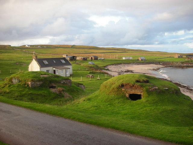
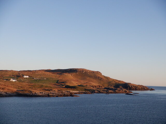
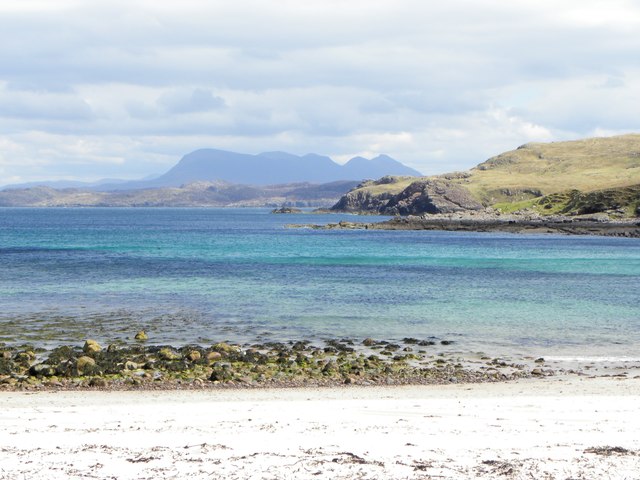
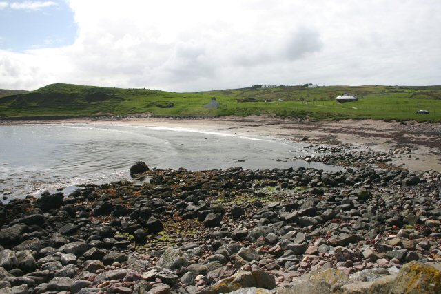
The Bay of Culkein is a picturesque coastal inlet located in the county of Sutherland, Scotland. Situated on the northwest coast, this bay offers breathtaking views of the North Atlantic Ocean and the surrounding rugged cliffs and hills.
With its pristine sandy beach and clear turquoise waters, the Bay of Culkein is a popular destination for visitors seeking tranquility and natural beauty. The beach stretches for approximately a mile, providing ample space for those looking to relax, take a leisurely stroll, or engage in water activities such as swimming and kayaking. The bay is also home to an abundance of marine life, making it an ideal spot for snorkeling and diving enthusiasts.
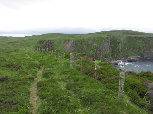
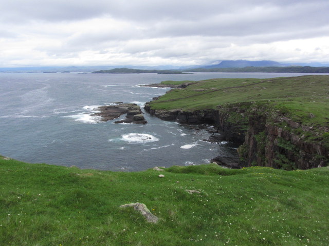
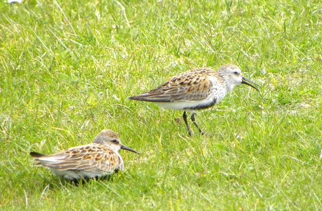
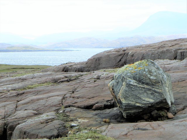
The bay is surrounded by steep cliffs and rolling hills, creating a stunning backdrop for photography enthusiasts and nature lovers. The area is rich in wildlife, and visitors may have the opportunity to spot various bird species, including puffins, gannets, and cormorants. Seals and dolphins are also occasionally spotted in the bay, adding to its allure.
Access to the Bay of Culkein is relatively easy, with a car park and a footpath leading down to the beach. Nearby amenities include a café and restroom facilities, ensuring visitors have a comfortable experience.
Overall, the Bay of Culkein is a hidden gem along the Scottish coast, offering a tranquil and idyllic setting for individuals seeking to immerse themselves in nature's beauty.
If you have any feedback on the listing, please let us know in the comments section below.
Bay of Culkein Images
Images are sourced within 2km of 58.246603/-5.3376393 or Grid Reference NC0433. Thanks to Geograph Open Source API. All images are credited.
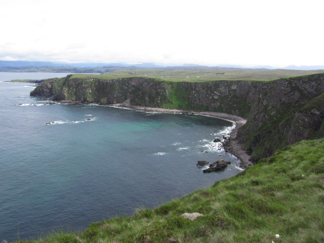

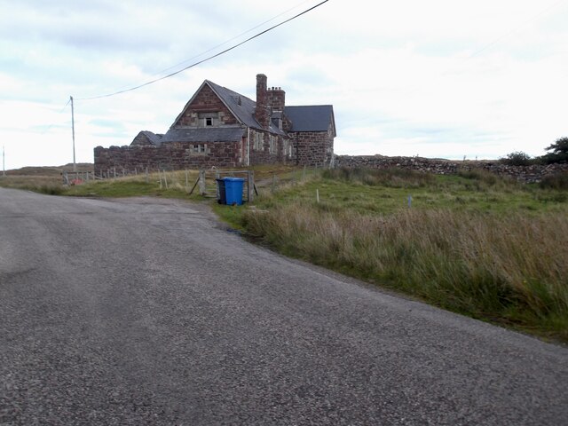
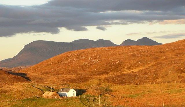
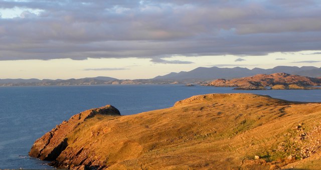
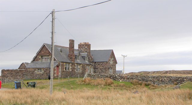
![View towards the bay at Culkein A ruined cottage stands by the bay, whilst in the distance [approx. 20km] rises the unmistakeable shape of Suilven.](https://s1.geograph.org.uk/geophotos/05/78/05/5780577_af5078b1.jpg)
Bay of Culkein is located at Grid Ref: NC0433 (Lat: 58.246603, Lng: -5.3376393)
Unitary Authority: Highland
Police Authority: Highlands and Islands
What 3 Words
///spicy.easygoing.processor. Near Clachtoll, Highland
Nearby Locations
Related Wikis
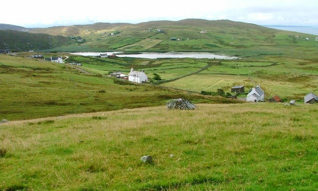
Culkein
Culkein Stoer (Scottish Gaelic: An Cùl-cinn) is a remote former fishing village, centred on the Bay of Culkein, in Assynt in Sutherland, Scottish Highlands...

Achnacarnin
Achnacarnin (Scottish Gaelic: Achadh nan Càrnan) is a village on the headland of Point of Stoer in Lairg, Sutherland, within the Scottish local authority...
Clashmore, Assynt
Clashmore (Scottish Gaelic: An Clais Mór) is a scattered township in Assynt, in Sutherland, in the Highland council area of Scotland. It is situated on...

Clashnessie
Clashnessie (Scottish Gaelic: Clais an Easaidh) is a small crofting community on the North-West coast of Scotland; specifically in the Assynt area of Sutherland...
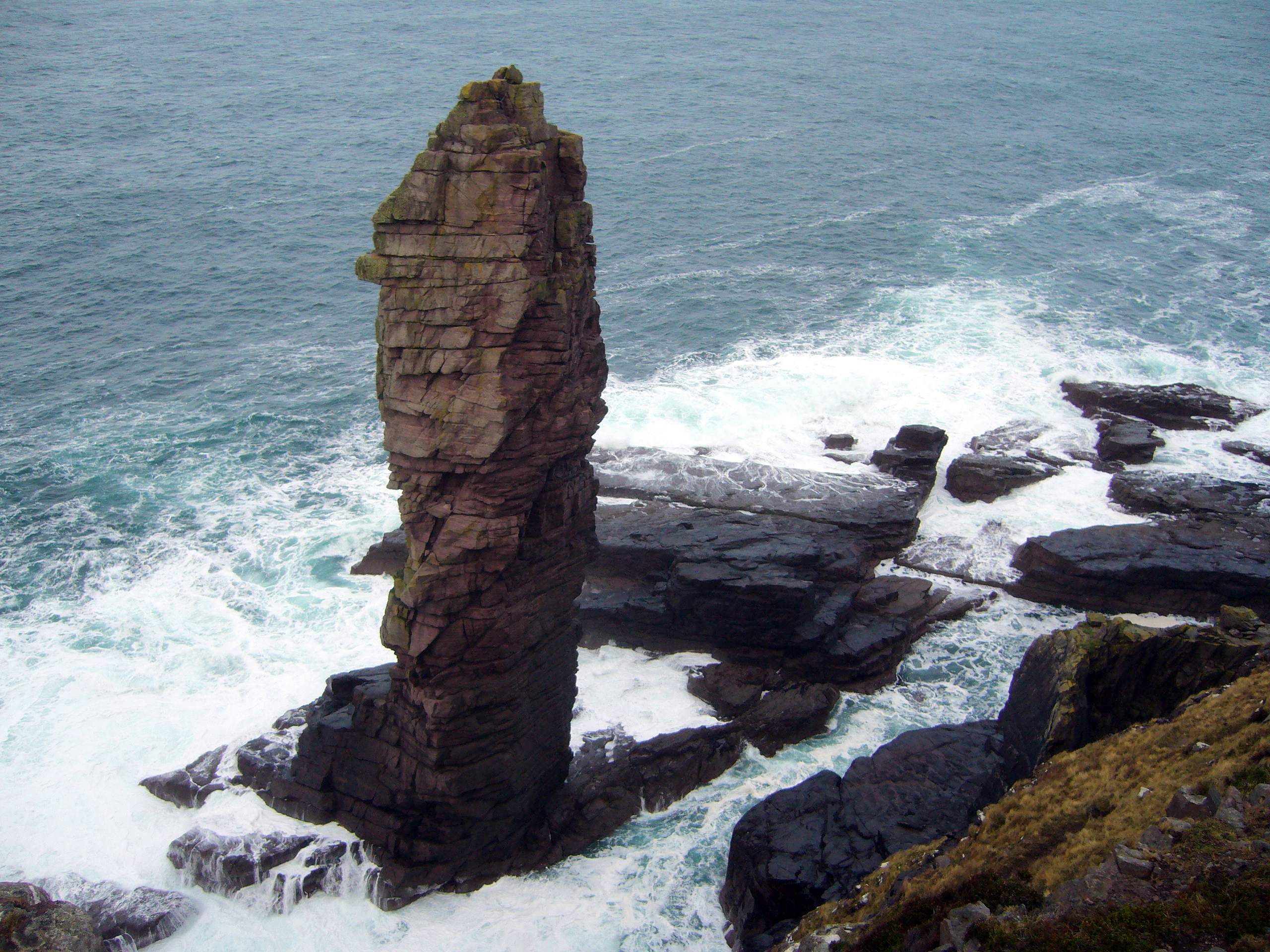
Old Man of Stoer
The Old Man of Stoer is a 60-metre-high (200 ft) sea stack of Torridonian sandstone in Sutherland, Scotland, close to the villages of Culkein and Stoer...

Balchladich
Balchladich (Scottish Gaelic: Baile a' Chladaich) is a remote township in the Assynt district of Sutherland, Scottish Highlands and is in the Scottish...
Stoer
Stoer (Scottish Gaelic: An Stòr) is a crofting township in the parish of Assynt, Sutherland, in the Highlands of Scotland and in the council area of Highland...
Oldany Island
Oldany Island (formerly Oldney Island) is an uninhabited island in Assynt, Sutherland, north-west Scotland. The name is Norse in origin and possibly means...
Nearby Amenities
Located within 500m of 58.246603,-5.3376393Have you been to Bay of Culkein?
Leave your review of Bay of Culkein below (or comments, questions and feedback).