Stretton, Little

Settlement in Leicestershire Harborough

England

Stretton, Little

Victorian postbox on Norton Lane, King's Norton
Victorian postbox on Norton Lane, King's Norton Credit: Ian S

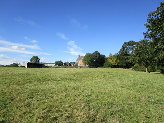
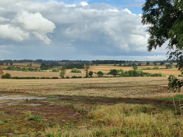
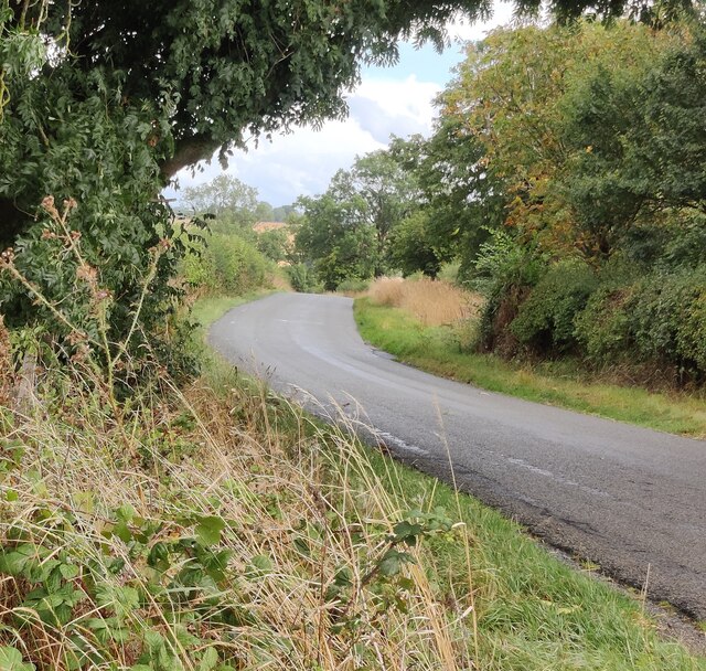
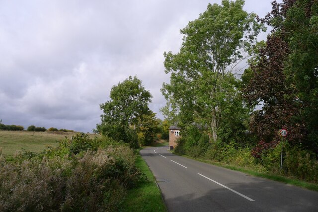
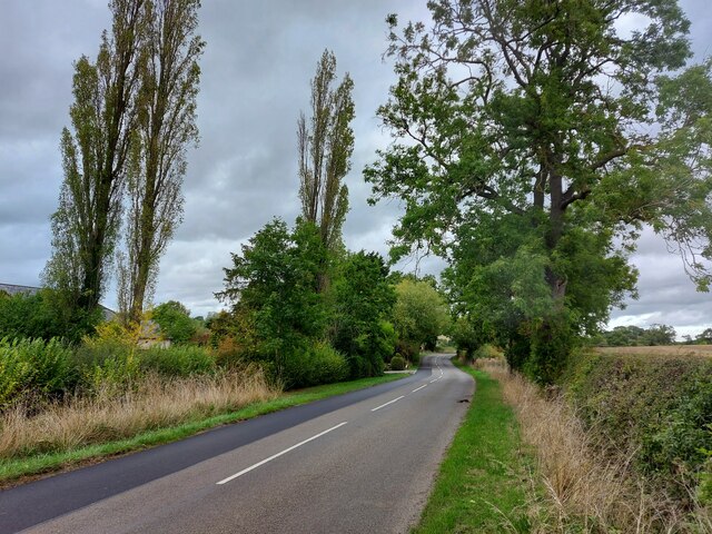
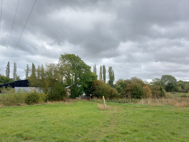
Stretton Little is a small village located in the county of Leicestershire, England. Situated approximately 6 miles southwest of the town of Lutterworth, it lies in a predominantly rural area surrounded by picturesque countryside.

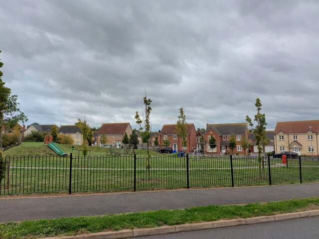
The village itself is characterized by its quaint and peaceful atmosphere. It boasts a small population, with only a few hundred residents, and is known for its tight-knit community. Stretton Little is primarily a residential area, with a mix of traditional cottages and more modern houses. The architecture reflects the village's long history, with some properties dating back several centuries.

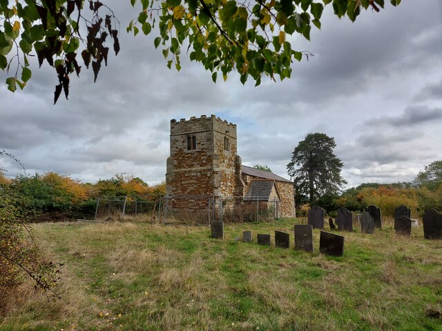
One of the notable features of Stretton Little is its picturesque St. Nicholas Church, a Grade II listed building that dates back to the 13th century. The church serves as a focal point for the community, hosting regular services and events.

Although Stretton Little is a small village, it benefits from its proximity to larger towns and amenities. Lutterworth, a short drive away, provides access to a range of shops, restaurants, and leisure facilities. The village is also conveniently located for commuting, with good transport links to nearby cities such as Leicester, Coventry, and Northampton.

Overall, Stretton Little offers a peaceful and idyllic lifestyle for its residents, combining the charm of a rural village with the convenience of nearby towns. Its beautiful surroundings, community spirit, and historic architecture make it an appealing place to live for those seeking a quieter and more traditional way of life.

If you have any feedback on the listing, please let us know in the comments section below.

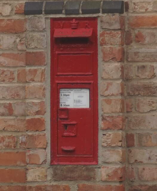
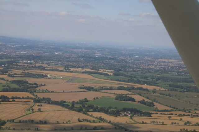
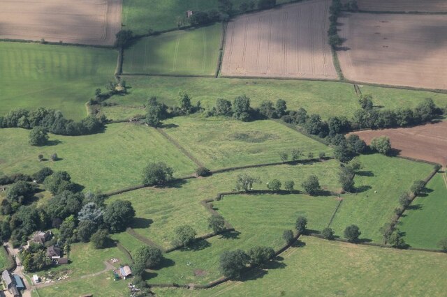
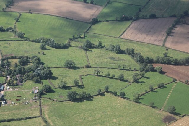
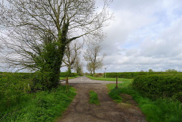
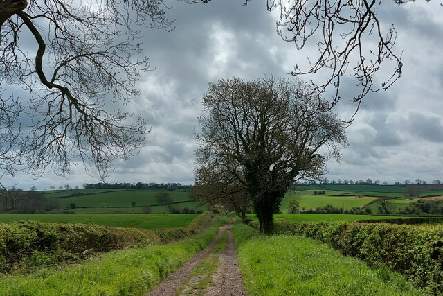
Stretton, Little Images

Images are sourced within 2km of 52.595353/-1.0139703 or Grid Reference SK6600. Thanks to Geograph Open Source API. All images are credited.

Victorian postbox on Norton Lane, King's Norton
Leicester Airport: aerial 2021
Earthworks and ridge and furrow at Burton Overy: aerial 2021 (1)
Earthworks and ridge and furrow at Burton Overy: aerial 2021 (2)
Grass field and Grange Farm, King's Norton
The centre of King's Norton Four roads come together here but it is definitely not a crossroads.
The centre of King's Norton
Four roads come together here but it is definitely not a crossroads.
The Old Vicarage, King's Norton The Old Vicarage is listed <span class="nowrap"><a title="https://historicengland.org.uk/listing/the-list/list-entry/1188323as" rel="nofollow ugc noopener" href="https://historicengland.org.uk/listing/the-list/list-entry/1188323as">Link</a><img style="margin-left:2px;" alt="External link" title="External link - shift click to open in new window" src="https://s1.geograph.org.uk/img/external.png" width="10" height="10"/></span> are the adjacent gates and wall <span class="nowrap"><a title="https://historicengland.org.uk/listing/the-list/list-entry/1061717" rel="nofollow ugc noopener" href="https://historicengland.org.uk/listing/the-list/list-entry/1061717">Link</a><img style="margin-left:2px;" alt="External link" title="External link - shift click to open in new window" src="https://s1.geograph.org.uk/img/external.png" width="10" height="10"/></span>
The Old Vicarage, King's Norton
The Old Vicarage is listed LinkExternal link are the adjacent gates and wall LinkExternal link
Grass field near Gaulby Lodge Farm
Farmland near Leicester Airport
Gaulby Lane near Leicester Airport
Via Devana passing through Great Stretton (Stretton Magna) On the line of the Roman road (now called Gartree Road) past all that remains of the abandoned village of Stretton Magna: Church View Farm, on the corner ahead, and a derelict church in the fields to the left <a href="https://www.geograph.org.uk/photo/7303137">SK6500 : Church of St Giles, Great Stretton (Stretton Magna)</a>. Great Stretton (= 'street' town, i.e. on a Roman road) is now smaller than nearby Little Stretton.
Via Devana passing through Great Stretton (Stretton Magna)
On the line of the Roman road (now called Gartree Road) past all that remains of the abandoned village of Stretton Magna: Church View Farm, on the corner ahead, and a derelict church in the fields to the left SK6500 : Church of St Giles, Great Stretton (Stretton Magna). Great Stretton (= 'street' town, i.e. on a Roman road) is now smaller than nearby Little Stretton.
Church of St Giles, Great Stretton (Stretton Magna) The tower is mainly original 14th century, with the body of the church rebuilt in the mid 19th century <span class="nowrap"><a title="http://lrfhs.org.uk/documents/gartree/Great_Stretton_Book.pdf" rel="nofollow ugc noopener" href="http://lrfhs.org.uk/documents/gartree/Great_Stretton_Book.pdf">Link</a><img style="margin-left:2px;" alt="External link" title="External link - shift click to open in new window" src="https://s1.geograph.org.uk/img/external.png" width="10" height="10"/></span> . But now derelict, with both the church, and the churchyard surrounded by security fencing.
Church of St Giles, Great Stretton (Stretton Magna)
The tower is mainly original 14th century, with the body of the church rebuilt in the mid 19th century LinkExternal link . But now derelict, with both the church, and the churchyard surrounded by security fencing.
Stretton Road approaching the entrance to Ashfield House
Footpath approaching Pennbury Farm Onnce a thriving dairy farm, Pennbury Farm, on the other side of the River Sence (hedgerow), now hosts a shop, restaurant, bed and breakfast, and small businesses <span class="nowrap"><a title="https://www.pennburyfarm.co.uk/" rel="nofollow ugc noopener" href="https://www.pennburyfarm.co.uk/">Link</a><img style="margin-left:2px;" alt="External link" title="External link - shift click to open in new window" src="https://s1.geograph.org.uk/img/external.png" width="10" height="10"/></span>
Footpath approaching Pennbury Farm
Onnce a thriving dairy farm, Pennbury Farm, on the other side of the River Sence (hedgerow), now hosts a shop, restaurant, bed and breakfast, and small businesses LinkExternal link
Playground at Devana Way, Great Glen Devana Way, enclosing the playground, is a reference to the Roman road 'Via Devana', whose line is traced by modern roads and tracks a mile to the north
Playground at Devana Way, Great Glen
Devana Way, enclosing the playground, is a reference to the Roman road 'Via Devana', whose line is traced by modern roads and tracks a mile to the north
Bridleway crossing Burton Brook, north-west of Burton Overy There is another Burton Brook on the other, south-east side of the village
Bridleway crossing Burton Brook, north-west of Burton Overy
There is another Burton Brook on the other, south-east side of the village
Gartree Road crossing the road from Great Glen to Kings Norton Following the route of Via Devana towards Leicester
Gartree Road crossing the road from Great Glen to Kings Norton
Following the route of Via Devana towards Leicester
Gartree Road (via Devana) running south-east across High Leicestershire Via Devana was a name given in the 18th century for a series of Roman roads that probably ran between the military centres of Chester (Roman 'Deva', or 'Castra Devana') and Colchester. Much of the route, particularly in its north-western section, is difficult to find. <span class="nowrap"><a title="https://en.wikipedia.org/wiki/Via_Devana" rel="nofollow ugc noopener" href="https://en.wikipedia.org/wiki/Via_Devana">Link</a><img style="margin-left:2px;" alt="External link" title="External link - shift click to open in new window" src="https://s1.geograph.org.uk/img/external.png" width="10" height="10"/></span> .
Gartree Road (via Devana) running south-east across High Leicestershire
Via Devana was a name given in the 18th century for a series of Roman roads that probably ran between the military centres of Chester (Roman 'Deva', or 'Castra Devana') and Colchester. Much of the route, particularly in its north-western section, is difficult to find. LinkExternal link .
Show me another place!

Stretton, Little is located at Grid Ref: SK6600 (Lat: 52.595353, Lng: -1.0139703)

Administrative County: Leicestershire

District: Harborough

Police Authority: Leicestershire

What 3 Words

///legs.insert.wake. Near Great Glen, Leicestershire

Related Wikis

Little Stretton, Leicestershire

Little Stretton (otherwise Stretton Parva) is a small village and civil parish in the Harborough district of Leicestershire that lies approximately 5.53...
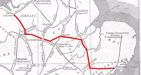
Via Devana

Via Devana is the name given to a Roman Road in England that ran from Colchester in the south-east, through Cambridge in the interior, and on to Chester...

RAF Leicester East

Royal Air Force Leicester East, more commonly known as RAF Leicester East (ICAO: EGBG), is a former Royal Air Force station, near the village of Stoughton...

Leicester Airport

Leicester Airport (IATA: None, ICAO: EGBG) is an aerodrome located to the east of Stoughton, Leicestershire, England, about 5 nautical miles (9.3 km; 5...

Nearby Amenities

Located within 500m of 52.595353,-1.0139703
Bus Stop
Manor Cottage
Bus: yes
Naptan AtcoCode: 260022000
Naptan Bearing: SW
Naptan CommonName: Manor Cottage
Naptan Indicator: outside
Naptan Landmark: Manor Cottage
Naptan NaptanCode: leijmptg
Naptan Notes: Non-Hourly - County
Naptan Street: Main Street
Naptan Verified: no
Public Transport: platform
Source: naptan_import
Lat/Long: 52.5949372/-1.0143789
Bus Stop
Manor Cottage
Bus: yes
Naptan AtcoCode: 260022001
Naptan Bearing: NE
Naptan BusStopType: CUS
Naptan CommonName: Manor Cottage
Naptan Indicator: opposite
Naptan Landmark: Manor Cottage
Naptan NaptanCode: leijmptj
Naptan Notes: Non-Hourly - County
Naptan Street: Main Street
Naptan Verified: no
Public Transport: platform
Source: naptan_import
Lat/Long: 52.5950021/-1.0146136
Telephone
Booth: K6
Covered: booth
Man Made: telephone_box
Tourism: information
Lat/Long: 52.5951626/-1.0143968
Post Box
Post Box Type: lamp
Lat/Long: 52.5952224/-1.014404
Power: substation
Lat/Long: 52.5952006/-1.0144451
The data included in this document is from www.openstreetmap.org. The data is made available under ODbL.

Have you been to Stretton, Little?

Leave your review of Stretton, Little below (or comments, questions and feedback).