Crow Spinney

Wood, Forest in Leicestershire Harborough

England

Crow Spinney

Leicester Airport: aerial 2021
Leicester Airport: aerial 2021 Credit: Chris

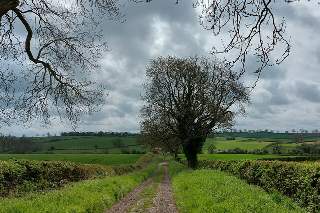
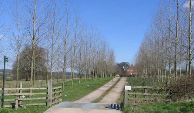
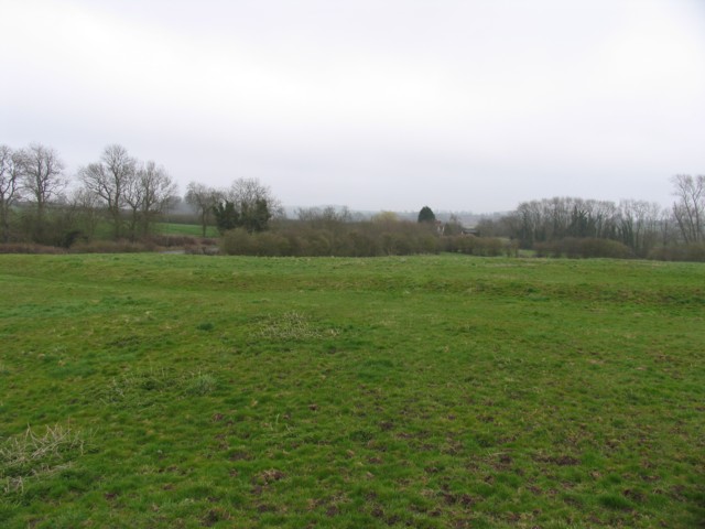
Crow Spinney is a picturesque woodland located in Leicestershire, England. Situated near the village of Woodhouse Eaves, it covers an area of approximately 30 acres and is part of the renowned Charnwood Forest. The name "spinney" refers to a small plantation or copse, and the woodland is characterized by its dense growth of various tree species.

The forest is predominantly composed of native deciduous trees, such as oak, beech, and birch, which create a vibrant and diverse ecosystem. The dense canopy provides ample shade, resulting in a cool and tranquil atmosphere throughout the year. The forest floor is covered in a thick layer of leaf litter, adding to the natural beauty of the area.

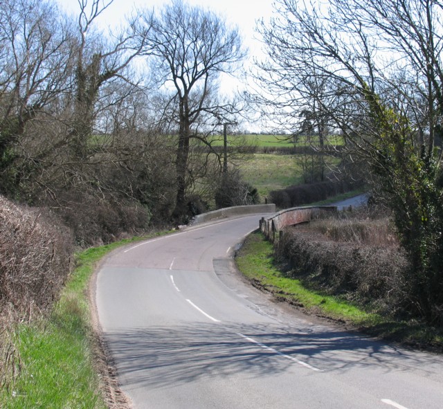
Crow Spinney is a popular destination for nature enthusiasts, walkers, and photographers. The well-maintained footpaths meander through the woodland, allowing visitors to explore the serene surroundings and discover the abundant wildlife. Birdwatchers can spot a variety of species, including woodpeckers, owls, and various songbirds.

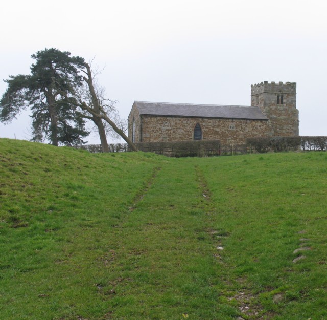
The woodland also boasts a rich history, with evidence of human activity dating back to prehistoric times. Archaeological finds, such as pottery and tools, have been discovered in the area, indicating that it was occupied by early settlers. Today, the site is protected and managed by local authorities to preserve its natural and cultural significance.

Overall, Crow Spinney offers a peaceful escape from the hustle and bustle of urban life, providing visitors with an opportunity to connect with nature and experience the beauty of Leicestershire's woodlands.

If you have any feedback on the listing, please let us know in the comments section below.
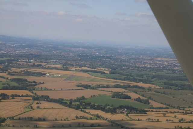
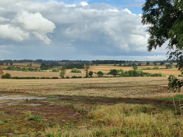
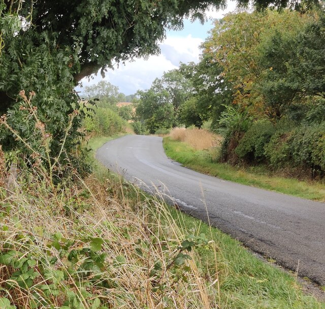
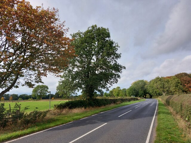
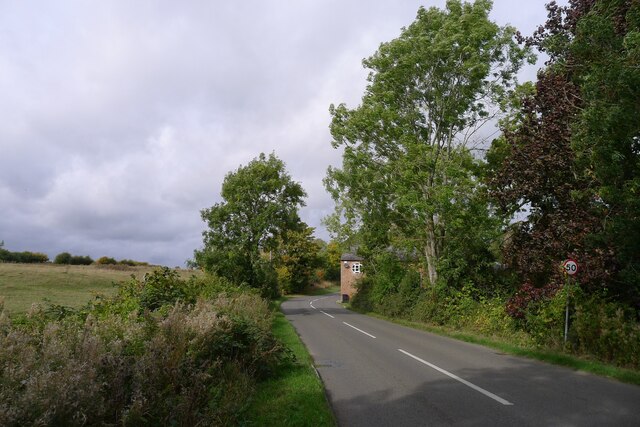
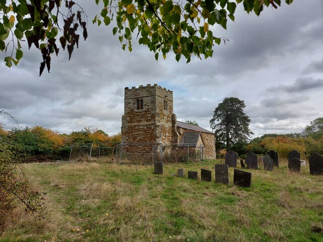
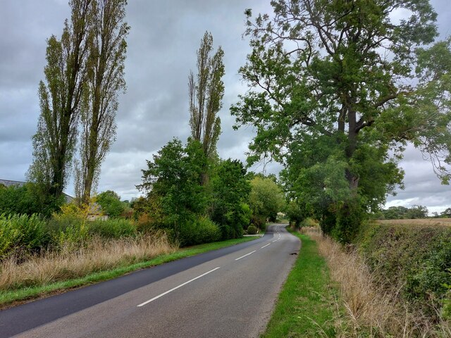
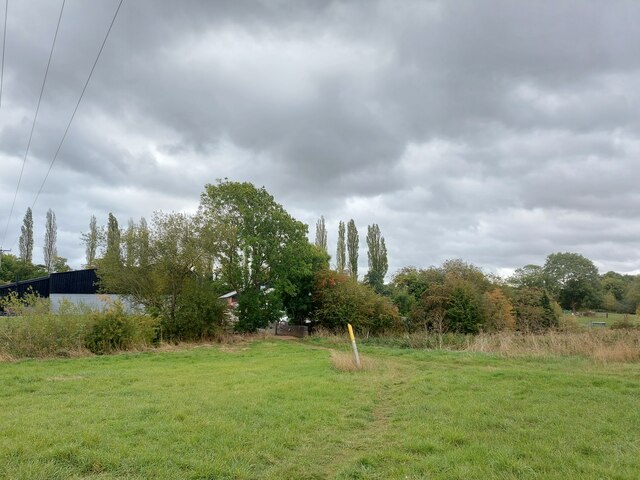
Crow Spinney Images

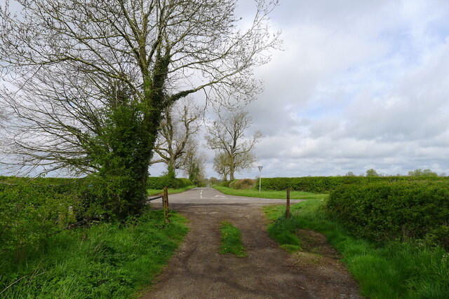
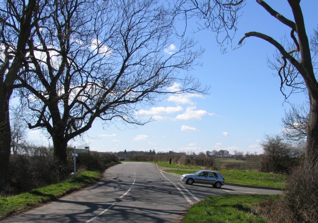
Images are sourced within 2km of 52.599705/-1.0183759 or Grid Reference SK6600. Thanks to Geograph Open Source API. All images are credited.

Leicester Airport: aerial 2021
Farmland near Leicester Airport
Gaulby Lane near Leicester Airport
Gartree Road passing the footpath to Oadby Lodge Farm
Via Devana passing through Great Stretton (Stretton Magna) On the line of the Roman road (now called Gartree Road) past all that remains of the abandoned village of Stretton Magna: Church View Farm, on the corner ahead, and a derelict church in the fields to the left <a href="https://www.geograph.org.uk/photo/7303137">SK6500 : Church of St Giles, Great Stretton (Stretton Magna)</a>. Great Stretton (= 'street' town, i.e. on a Roman road) is now smaller than nearby Little Stretton.
Via Devana passing through Great Stretton (Stretton Magna)
On the line of the Roman road (now called Gartree Road) past all that remains of the abandoned village of Stretton Magna: Church View Farm, on the corner ahead, and a derelict church in the fields to the left SK6500 : Church of St Giles, Great Stretton (Stretton Magna). Great Stretton (= 'street' town, i.e. on a Roman road) is now smaller than nearby Little Stretton.
Church of St Giles, Great Stretton (Stretton Magna) The tower is mainly original 14th century, with the body of the church rebuilt in the mid 19th century <span class="nowrap"><a title="http://lrfhs.org.uk/documents/gartree/Great_Stretton_Book.pdf" rel="nofollow ugc noopener" href="http://lrfhs.org.uk/documents/gartree/Great_Stretton_Book.pdf">Link</a><img style="margin-left:2px;" alt="External link" title="External link - shift click to open in new window" src="https://s1.geograph.org.uk/img/external.png" width="10" height="10"/></span> . But now derelict, with both the church, and the churchyard surrounded by security fencing.
Church of St Giles, Great Stretton (Stretton Magna)
The tower is mainly original 14th century, with the body of the church rebuilt in the mid 19th century LinkExternal link . But now derelict, with both the church, and the churchyard surrounded by security fencing.
Stretton Road approaching the entrance to Ashfield House
Footpath approaching Pennbury Farm Onnce a thriving dairy farm, Pennbury Farm, on the other side of the River Sence (hedgerow), now hosts a shop, restaurant, bed and breakfast, and small businesses <span class="nowrap"><a title="https://www.pennburyfarm.co.uk/" rel="nofollow ugc noopener" href="https://www.pennburyfarm.co.uk/">Link</a><img style="margin-left:2px;" alt="External link" title="External link - shift click to open in new window" src="https://s1.geograph.org.uk/img/external.png" width="10" height="10"/></span>
Footpath approaching Pennbury Farm
Onnce a thriving dairy farm, Pennbury Farm, on the other side of the River Sence (hedgerow), now hosts a shop, restaurant, bed and breakfast, and small businesses LinkExternal link
Gartree Road crossing the road from Great Glen to Kings Norton Following the route of Via Devana towards Leicester
Gartree Road crossing the road from Great Glen to Kings Norton
Following the route of Via Devana towards Leicester
Gartree Road (via Devana) running south-east across High Leicestershire Via Devana was a name given in the 18th century for a series of Roman roads that probably ran between the military centres of Chester (Roman 'Deva', or 'Castra Devana') and Colchester. Much of the route, particularly in its north-western section, is difficult to find. <span class="nowrap"><a title="https://en.wikipedia.org/wiki/Via_Devana" rel="nofollow ugc noopener" href="https://en.wikipedia.org/wiki/Via_Devana">Link</a><img style="margin-left:2px;" alt="External link" title="External link - shift click to open in new window" src="https://s1.geograph.org.uk/img/external.png" width="10" height="10"/></span> .
Gartree Road (via Devana) running south-east across High Leicestershire
Via Devana was a name given in the 18th century for a series of Roman roads that probably ran between the military centres of Chester (Roman 'Deva', or 'Castra Devana') and Colchester. Much of the route, particularly in its north-western section, is difficult to find. LinkExternal link .
Leicester Airport aircraft at the Leicester Aero Club flying school, near to Oadby and Stretton
Leicester Airport
aircraft at the Leicester Aero Club flying school, near to Oadby and Stretton
Leicester Airport Control Tower The White building is Leicester Airport's Control Tower.  It also houses the flying school.  The yellow board with a black 'C' indicates to pilots where they must go to sign in after landing.   In the foreground is the 'Signals Square and airport identifier (LE - Leicester).  The signals square tells pilots which runway is in use and advises of any hazards on the airfield.
Leicester Airport Control Tower
The White building is Leicester Airport's Control Tower. It also houses the flying school. The yellow board with a black 'C' indicates to pilots where they must go to sign in after landing. In the foreground is the 'Signals Square and airport identifier (LE - Leicester). The signals square tells pilots which runway is in use and advises of any hazards on the airfield.
Road junction near to Great Glen
Strictly Private Strictly Private with a public footpath running up the drive.
Strictly Private
Strictly Private with a public footpath running up the drive.
Bridge over the River Sence
Approach to the church of St Giles Great Stretton Great Stretton is a lost village of which little remains apart from the church which is in the middle of a field.
Approach to the church of St Giles Great Stretton
Great Stretton is a lost village of which little remains apart from the church which is in the middle of a field.
Pond This pond is adjacent to the church of St Giles at Great Streeton.
Pond
This pond is adjacent to the church of St Giles at Great Streeton.
Stretton Magna Mediaeval Village Part of the area formerly covered by the village of Stretton Magna
Stretton Magna Mediaeval Village
Part of the area formerly covered by the village of Stretton Magna
Show me another place!

Crow Spinney is located at Grid Ref: SK6600 (Lat: 52.599705, Lng: -1.0183759)

Administrative County: Leicestershire

District: Harborough

Police Authority: Leicestershire

What 3 Words

///busy.spoon.sudden. Near Great Glen, Leicestershire

Related Wikis

Little Stretton, Leicestershire

Little Stretton (otherwise Stretton Parva) is a small village and civil parish in the Harborough district of Leicestershire that lies approximately 5.53...
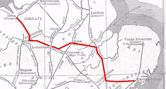
Via Devana

Via Devana is the name given to a Roman Road in England that ran from Colchester in the south-east, through Cambridge in the interior, and on to Chester...

RAF Leicester East

Royal Air Force Leicester East, more commonly known as RAF Leicester East (ICAO: EGBG), is a former Royal Air Force station, near the village of Stoughton...

Leicester Airport

Leicester Airport (IATA: None, ICAO: EGBG) is an aerodrome located to the east of Stoughton, Leicestershire, England, about 5 nautical miles (9.3 km; 5...

Nearby Amenities

Located within 500m of 52.599705,-1.0183759
The data included in this document is from www.openstreetmap.org. The data is made available under ODbL.

Have you been to Crow Spinney?

Leave your review of Crow Spinney below (or comments, questions and feedback).