Camas Dubh Uisge
Bay in Argyllshire
Scotland
Camas Dubh Uisge

The requested URL returned error: 429 Too Many Requests
If you have any feedback on the listing, please let us know in the comments section below.
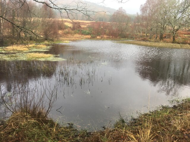
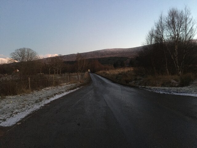
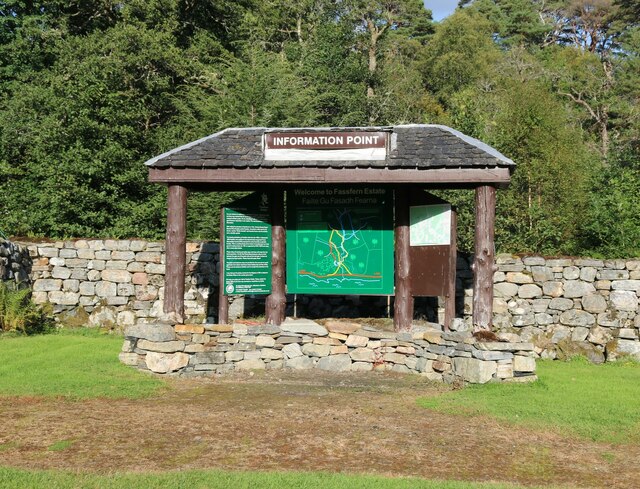
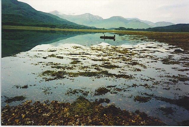
Camas Dubh Uisge Images
Images are sourced within 2km of 56.843537/-5.2527597 or Grid Reference NN0177. Thanks to Geograph Open Source API. All images are credited.


Camas Dubh Uisge is located at Grid Ref: NN0177 (Lat: 56.843537, Lng: -5.2527597)
Unitary Authority: Highland
Police Authority: Highlands and Islands
What 3 Words
///furniture.rational.rewrites. Near Fort William, Highland
Nearby Locations
Related Wikis

Duisky
Duisky (Scottish Gaelic: Dubh-uisge – "black water", referring to the dark appearance of Loch Eil) is a small hamlet on the south shore of Loch Eil, directly...

Loch Eil
Loch Eil (Scottish Gaelic: Loch Iall) is a sea loch in Lochaber, Scotland that opens into Loch Linnhe near the town of Fort William. Ardvorlich notes that...

Fassfern
Fassfern (Scottish Gaelic: An Fasadh Feàrna) is a hamlet on the north shore of Loch Eil in the Scottish Highlands, at the bottom of Glen Suileag and almost...
Kinlocheil
Kinlochiel (Scottish Gaelic: Ceann Loch Iall) is a hamlet on the north west shore of Loch Eil in Lochaber, Scottish Highlands and is in the Scottish council...
Nearby Amenities
Located within 500m of 56.843537,-5.2527597Have you been to Camas Dubh Uisge?
Leave your review of Camas Dubh Uisge below (or comments, questions and feedback).