Hairyhorroch
Bay in Wigtownshire
Scotland
Hairyhorroch
Hairyhorroch is a small bay located in Wigtownshire, a historic county in Dumfries and Galloway, southwestern Scotland. The bay is situated on the western coast of the country, approximately 5 miles south of the town of Wigtown.
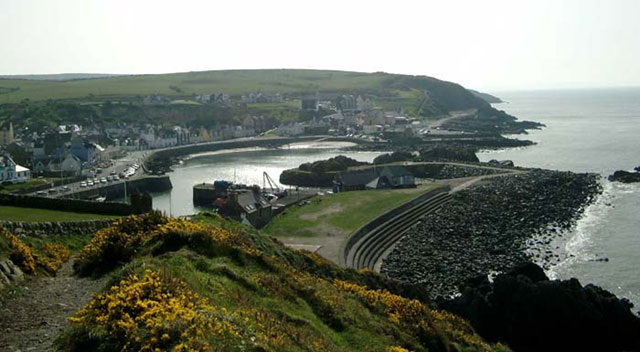
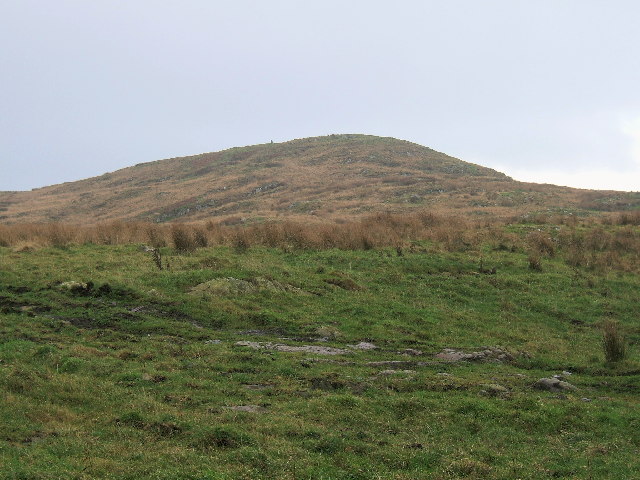
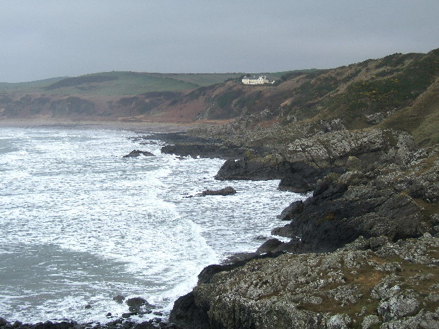
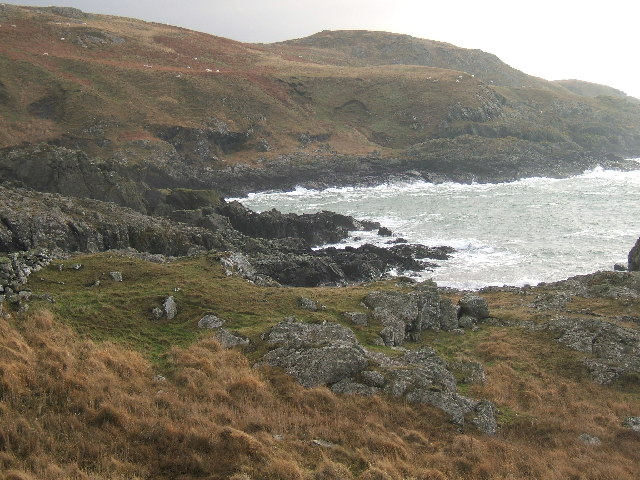
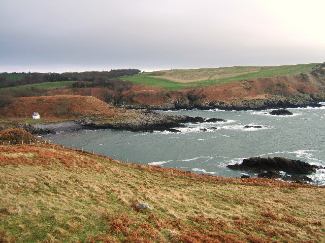
Hairyhorroch is known for its picturesque beauty and tranquil atmosphere. The bay is characterized by its stunning sandy beach, which stretches for about 1.5 miles along the coastline. The beach is backed by rolling dunes covered in wild grass and heather, providing a natural barrier between the beach and the surrounding landscape.
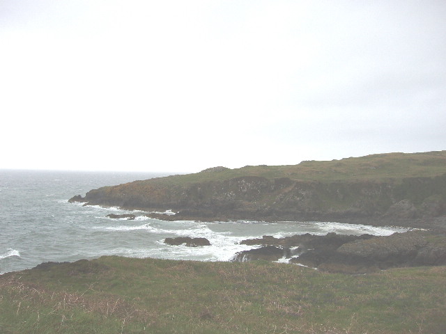
The bay is flanked by rocky outcrops and cliffs, which offer breathtaking views of the Irish Sea. These cliffs also provide nesting sites for various seabirds, making Hairyhorroch a popular spot for birdwatching.
The bay is relatively secluded and untouched by commercial development, making it an ideal destination for those seeking peace and solitude. It is a haven for nature lovers, with opportunities for coastal walks, wildlife spotting, and beachcombing.
Access to Hairyhorroch is relatively straightforward, with a small car park available nearby. Visitors can also reach the bay via public transport, with a regular bus service connecting it to nearby towns and villages. However, facilities such as toilets and shops are limited, so visitors are advised to come prepared.
If you have any feedback on the listing, please let us know in the comments section below.
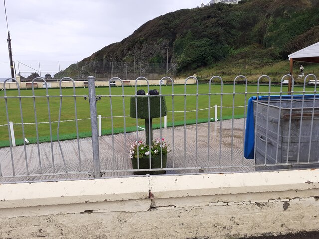
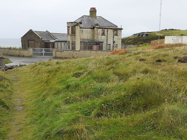
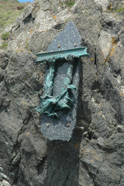
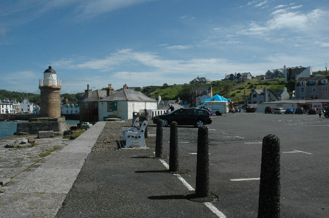
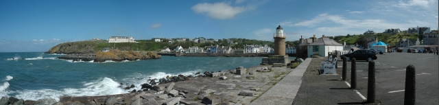
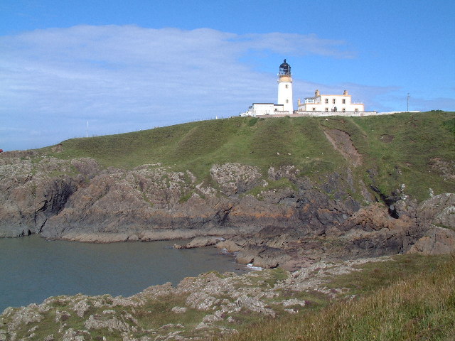
Hairyhorroch Images
Images are sourced within 2km of 54.853171/-5.1395949 or Grid Reference NW9855. Thanks to Geograph Open Source API. All images are credited.


Hairyhorroch is located at Grid Ref: NW9855 (Lat: 54.853171, Lng: -5.1395949)
Unitary Authority: Dumfries and Galloway
Police Authority: Dumfries and Galloway
What 3 Words
///type.lifts.engulfing. Near Stranraer, Dumfries & Galloway
Nearby Locations
Related Wikis

MV Craigantlet
MV Craigantlet was a German-owned, Cyprus-registered container ship operated on time-charter by Cawoods Containers Ltd of Belfast. She ran aground on 26...

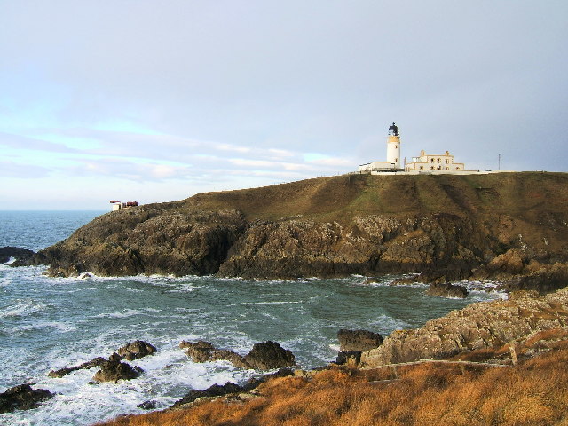
Killantringan Lighthouse
Killantringan Lighthouse is a lighthouse located near Portpatrick in Dumfries and Galloway, south-west Scotland. The light came into operation in 1900...

Portpatrick
Portpatrick is a village and civil parish in the historical county of Wigtownshire, Dumfries and Galloway, Scotland. It is located on the west coast of...

Portpatrick railway station
Portpatrick railway station was a railway station serving the village of Portpatrick, Dumfries & Galloway, Scotland. Opened in 1862 the station served...
Dunskey
Dunskey Estate (also known as Portree Estate) is north of Portpatrick on the west coast of Scotland. The B-listed mansion dates from the start of the twentieth...

Dunskey Castle
Dunskey Castle is a ruined, 12th-century tower house or castle, located 0.5 miles (0.80 km) south of the village of Portpatrick, Rhinns, Wigtownshire,...

Colfin railway station
Colfin railway station, located in Wigtownshire, Scotland, between Portpatrick and Stranraer, was a station on the Portpatrick and Wigtownshire Joint Railway...
Knockinaam Lodge
Knockinaam Lodge is a hotel and restaurant located about 3.5 miles South of Portpatrick, Dumfries & Galloway, Scotland. As of 2008, the restaurant holds...
Related Videos

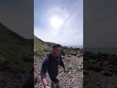
1. Solo hiking The Southern Upland Way Scottish National trail. Portpatrick. Wild camping. Scotland.
Filmed 16th May 2018 Day one on the The Southern Upland Way a 212-mile (341 km) coast-to-coast walk From Portpatrick in the ...

The Durham Cow's Southern Upland Way - Day One
In June/July of 2022, at the age of 60 (which somehow seemed to matter), I walked the first half of Scotland's 214-mile Southern ...

Nearby Amenities
Located within 500m of 54.853171,-5.1395949Have you been to Hairyhorroch?
Leave your review of Hairyhorroch below (or comments, questions and feedback).