Portavaddie
Bay in Wigtownshire
Scotland
Portavaddie
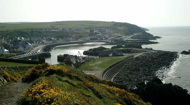
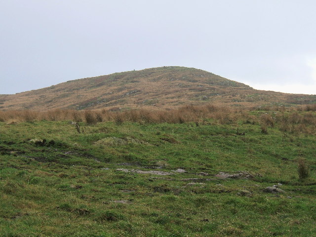
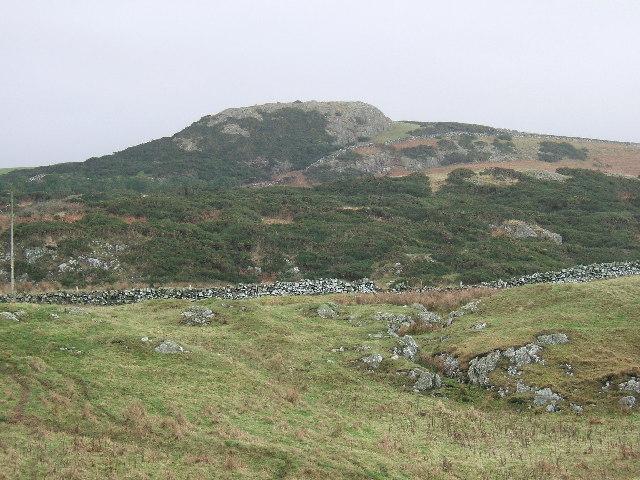
Portavaddie is a picturesque bay located in Wigtownshire, Scotland. It is a small coastal village that lies on the eastern coast of the Rhins of Galloway peninsula, overlooking the North Channel. The bay is situated about 3 miles south of Port William and 14 miles north of Stranraer.
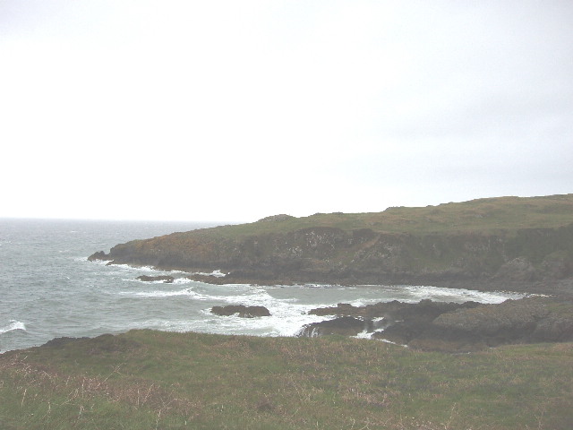
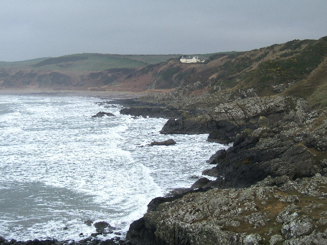
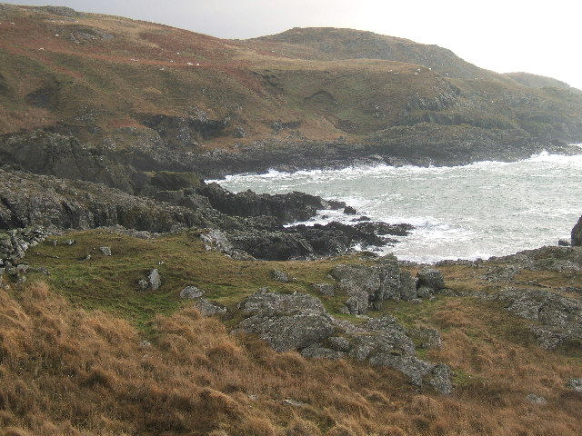
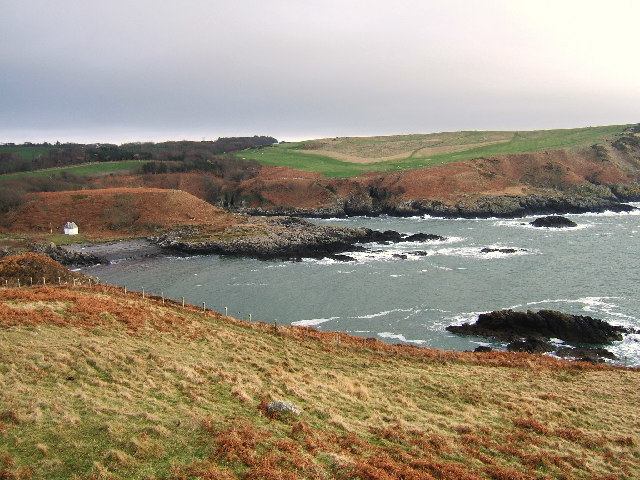
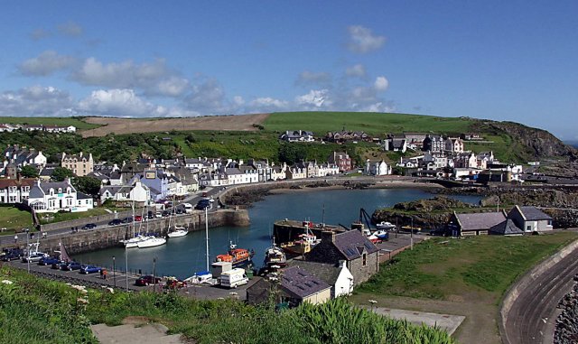
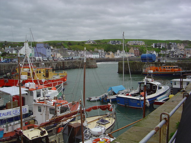
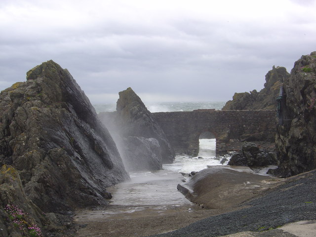
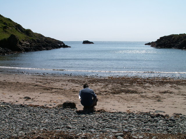
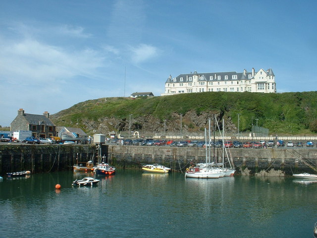
The village of Portavaddie is known for its stunning natural beauty, with its tranquil bay, sandy beaches, and rugged cliffs. The area is a popular destination for outdoor enthusiasts, offering opportunities for fishing, sailing, and coastal walks. The bay is also home to a small harbor, providing moorings for local fishing boats and pleasure craft.
The village itself is quaint and charming, with a small population of friendly locals. It has a few amenities, including a local pub and a small convenience store, catering to the needs of both residents and visitors. The village's primary industry is fishing, and it is not uncommon to see fishermen unloading their catch at the harbor.
Portavaddie is also known for its historical significance, with several ancient sites located nearby. The ruins of Kirkmaiden Church, dating back to the 13th century, can be found within walking distance from the village. Additionally, the area is rich in wildlife, with seals, dolphins, and various bird species frequently spotted in the bay.
Overall, Portavaddie is a charming coastal village that offers a peaceful and scenic retreat for those seeking to immerse themselves in nature and history.
If you have any feedback on the listing, please let us know in the comments section below.
Portavaddie Images
Images are sourced within 2km of 54.85636/-5.1417909 or Grid Reference NW9855. Thanks to Geograph Open Source API. All images are credited.


Portavaddie is located at Grid Ref: NW9855 (Lat: 54.85636, Lng: -5.1417909)
Unitary Authority: Dumfries and Galloway
Police Authority: Dumfries and Galloway
What 3 Words
///mulls.embers.cement. Near Stranraer, Dumfries & Galloway
Nearby Locations
Related Wikis

MV Craigantlet
MV Craigantlet was a German-owned, Cyprus-registered container ship operated on time-charter by Cawoods Containers Ltd of Belfast. She ran aground on 26...

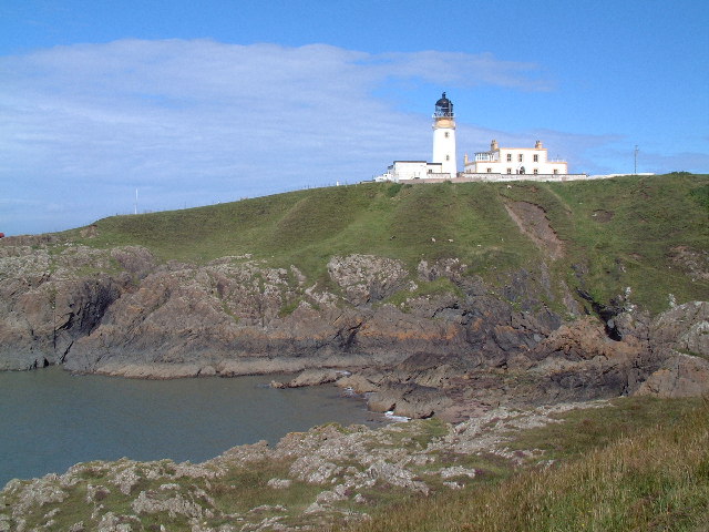
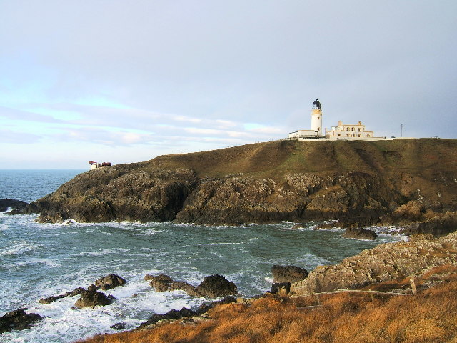
Killantringan Lighthouse
Killantringan Lighthouse is a lighthouse located near Portpatrick in Dumfries and Galloway, south-west Scotland. The light came into operation in 1900...

Portpatrick
Portpatrick is a village and civil parish in the historical county of Wigtownshire, Dumfries and Galloway, Scotland. It is located on the west coast of...

Portpatrick railway station
Portpatrick railway station was a railway station serving the village of Portpatrick, Dumfries & Galloway, Scotland. Opened in 1862 the station served...
Nearby Amenities
Located within 500m of 54.85636,-5.1417909Have you been to Portavaddie?
Leave your review of Portavaddie below (or comments, questions and feedback).