Port Leathan
Bay in Argyllshire
Scotland
Port Leathan
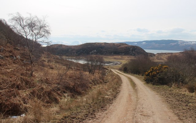
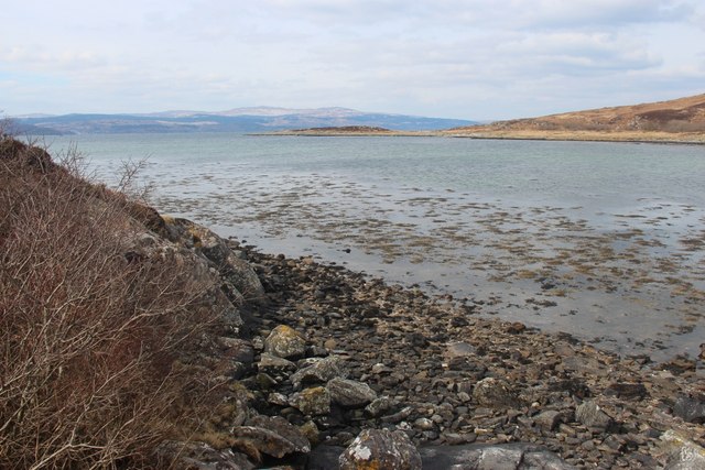
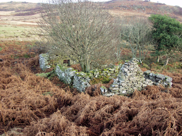
Port Leathan is a picturesque bay located in Argyllshire, Scotland. Situated on the west coast of the country, it is known for its stunning natural beauty and tranquil atmosphere. The bay is nestled between rolling green hills and offers breathtaking views of the surrounding landscape.
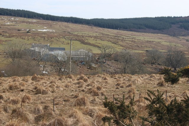
Port Leathan is a small fishing village with a population of around 500 residents. The village is characterized by its charming traditional cottages and colorful houses, adding to its idyllic charm. The community is close-knit and known for its friendly and welcoming locals.
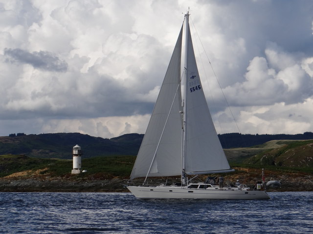
The bay itself is a haven for nature lovers, with its clear blue waters and sandy beaches. It serves as a popular spot for swimming, sunbathing, and various water activities such as kayaking and sailing. The bay is also home to a diverse range of marine life, making it a favorite spot for snorkeling and diving enthusiasts.
Visitors to Port Leathan can enjoy leisurely walks along the bay, taking in the fresh sea air and enjoying the peaceful surroundings. The village also offers a range of amenities including quaint cafes, local shops, and traditional seafood restaurants, where visitors can sample the region's renowned fresh catches.
For those looking to explore beyond the bay, the surrounding area offers numerous opportunities for outdoor activities. Hiking trails leading to nearby hills and viewpoints provide breathtaking vistas of the bay and its surroundings.
Overall, Port Leathan offers a tranquil retreat for those seeking natural beauty and a taste of traditional Scottish coastal life.
If you have any feedback on the listing, please let us know in the comments section below.
Port Leathan Images
Images are sourced within 2km of 55.85554/-5.3108638 or Grid Reference NR9267. Thanks to Geograph Open Source API. All images are credited.

Port Leathan is located at Grid Ref: NR9267 (Lat: 55.85554, Lng: -5.3108638)
Unitary Authority: Argyll and Bute
Police Authority: Argyll and West Dunbartonshire
What 3 Words
///acoustics.date.cassettes. Near Tarbert, Argyll & Bute
Nearby Locations
Related Wikis

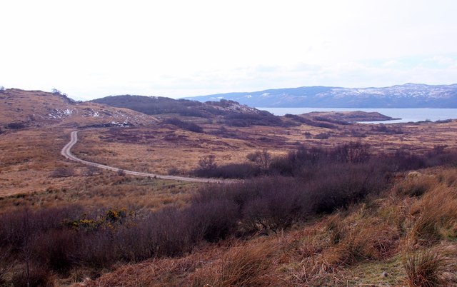
Sgat Mòr and Sgat Beag
Sgat Mòr and Sgat Beag (Scottish Gaelic pronunciation: [s̪kat̪ moːrˠ ɪs̪ s̪kat̪ pɛk]; English: The Skate Islands or, less commonly, Skate Island and Wee...

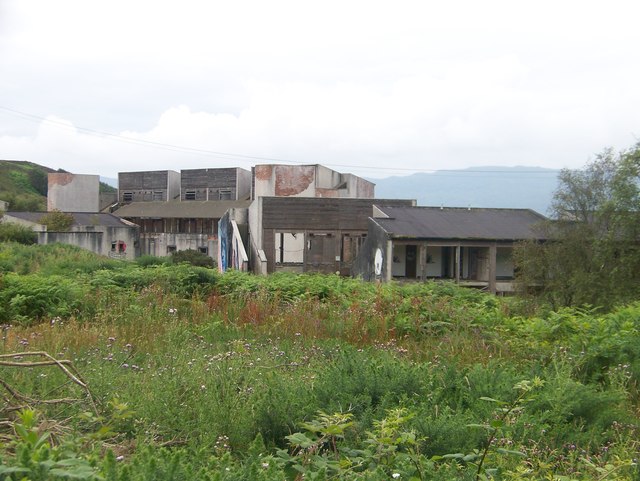
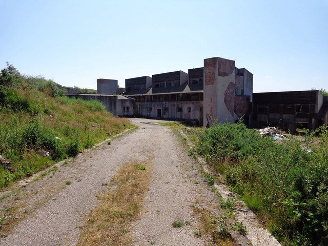
Polphail
Polphail was a ghost village in Scotland. It was demolished in 2016. == Location == Polphail was located at Portavadie on the west coast of the Cowal Peninsula...

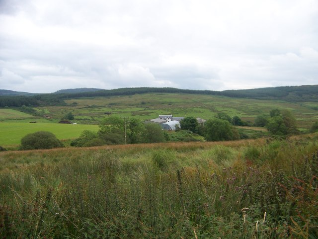
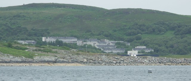
Portavadie
Portavadie (Scottish Gaelic: Port a' Mhadaidh) is a village on the shores of Loch Fyne in Argyll and Bute, Scotland.The Portavadie complex was built in...

Asgog Loch
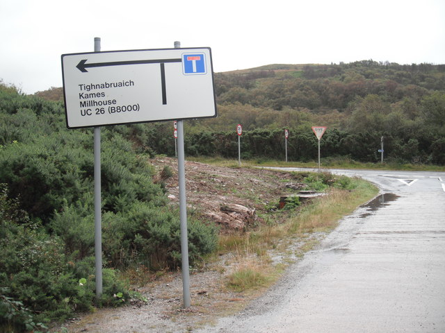
Asgog Loch is a natural freshwater loch in Argyll and Bute, Scotland. It is located about 4 kilometres (2.5 mi) southwest of Tighnabruaich, on the Cowal...
Nearby Amenities
Located within 500m of 55.85554,-5.3108638Have you been to Port Leathan?
Leave your review of Port Leathan below (or comments, questions and feedback).