Camas Buidhe Eoghainn

Bay in Ross-shire

Scotland

Camas Buidhe Eoghainn

On the left, Mallie's Cottage, on the road to Opinan
On the left, Mallie's Cottage, on the road to Opinan Credit: Gordon Brown

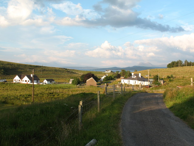
Camas Buidhe Eoghainn, located in Ross-shire, Scotland, is a picturesque bay that offers stunning natural beauty and a peaceful retreat for visitors. Situated on the northwest coast of Scotland, this bay is known for its golden sandy beach, clear turquoise waters, and breathtaking views of the surrounding landscape.

The bay is named after the nearby Camas Buidhe Eoghainn, a small village that is a short distance away. The village itself is known for its charming cottages and friendly locals, offering a warm welcome to those who visit.

Nature enthusiasts will be delighted by the abundance of wildlife in the area. The bay is home to a variety of bird species, including oystercatchers, herons, and gulls. Visitors may also spot seals and dolphins swimming in the bay, adding to the area's natural charm.

The beach at Camas Buidhe Eoghainn is an ideal spot for a leisurely stroll, sunbathing, or picnicking with loved ones. The crystal-clear waters are perfect for swimming, and the bay is popular among kayakers and paddleboarders who enjoy exploring its calm and tranquil surroundings.

For those seeking outdoor adventures, the bay offers opportunities for hiking and cycling along the nearby coastal trails. From the top of the cliffs, one can enjoy panoramic views of the bay and the surrounding rugged coastline.

Camas Buidhe Eoghainn, Ross-shire is a hidden gem, offering visitors a peaceful and serene environment to connect with nature and enjoy the beauty of Scotland's northwest coast.

If you have any feedback on the listing, please let us know in the comments section below.

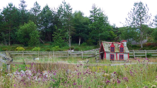
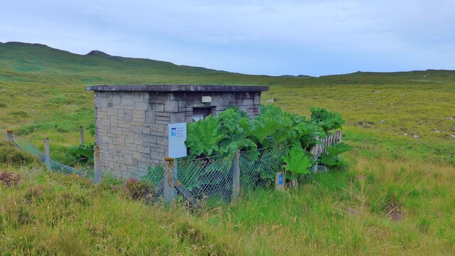
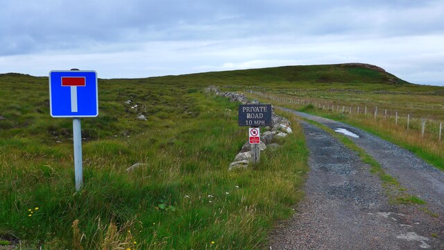
Camas Buidhe Eoghainn Images

Images are sourced within 2km of 57.918912/-5.5845618 or Grid Reference NG8797. Thanks to Geograph Open Source API. All images are credited.

On the left, Mallie's Cottage, on the road to Opinan
Duck (or hen?) house by the road to Opinan
Distant view of Opinan House
Small covered reservoir at Opinan The sign still reads 'North of Scotland Water Authority' although in 2002 Scottish Water was founded by a merger of West of Scotland Water Authority, East of Scotland Water Authority and North of Scotland Water Authority under the Water Industry (Scotland) Act 2002, an Act of the Scottish Parliament.
Small covered reservoir at Opinan
The sign still reads 'North of Scotland Water Authority' although in 2002 Scottish Water was founded by a merger of West of Scotland Water Authority, East of Scotland Water Authority and North of Scotland Water Authority under the Water Industry (Scotland) Act 2002, an Act of the Scottish Parliament.
The end of the public road at Opinan
House at Camas Rainich, Opinan
An Eoghail Where the Allt Loch a' Choire meets the sea.
An Eoghail
Where the Allt Loch a' Choire meets the sea.
Simple pleasures; enjoying the shore at Opinan
Crofthouses old and new at Opinan
Loch, Druim an Fhasdaidh
Sròn an Dùn-chàirn
Sròn an Dùn-chàirn
Geodh' Fuar
Geodh' Fuar
Coast below Druim an Fhasdaidh
Camas Carraige
Camas Carraige
Creag Streap
Creag Streap
Meallan Ùdraigil
Meallan Ùdraigil
Rubha Mòr
Rubha Mòr
Small weir above Opinan
Show me another place!

Camas Buidhe Eoghainn is located at Grid Ref: NG8797 (Lat: 57.918912, Lng: -5.5845618)

Unitary Authority: Highland

Police Authority: Highlands and Islands

What 3 Words

///painter.drill.nametag. Near Gairloch, Highland

Related Wikis

Opinan, Laide, Highland

Opinan is a remote scattered crofting hamlet, in Achnasheen, Ross-shire, Scottish Highlands and is in the Scottish council area of Highland. The village...

Mellon Udrigle

Mellon Udrigle (Scottish Gaelic: Meallan Ùdraigil or Na Meall) is a small remote coastal tourist, fishing and crofting hamlet on the north west coast of...

Rubha Mòr

Rubha Mòr is a remote peninsula in west Scotland, in the western region of Ross and Cromarty. The peninsula stretches from Greenstone Point in the north...

Achgarve

Achgarve (Scottish Gaelic: An t-Achadh Garbh - the rough field) is a small coastal crofting and fishing hamlet, situated between Gruinard Bay and Loch...

Gruinard Bay

Gruinard Bay is a large remote coastal embayment, located 12 miles north of Poolewe, in northwestern Ross and Cromarty, and is in the former parish of...

Laide

Laide (Scottish Gaelic: An Leathad) is a small village in the northwest of the Highlands of Scotland. It is situated on the southern shore of Gruinard...

Priest Island

Priest Island (Scottish Gaelic: Eilean a' Chlèirich) is a small, uninhabited island in the Summer Isles off the west coast of Scotland. == History == According...

Sand, Highland

Sand (Scottish Gaelic: Sannda) is a small hamlet, located on the southern shore of Gruinard Bay, and lying to the west of the village of Laide in Ross...

Nearby Amenities

Located within 500m of 57.918912,-5.5845618
Source: PGS
Lat/Long: 57.9156794/-5.57934
Source: PGS
Lat/Long: 57.9157515/-5.5799105
Source: PGS
Lat/Long: 57.915597/-5.5805071
Source: PGS
Lat/Long: 57.9159064/-5.5807932
Source: PGS
Lat/Long: 57.9160557/-5.5813428
Source: PGS
Lat/Long: 57.9161365/-5.5823768
Created By: almien_coastlines
Source: PGS
Lat/Long: 57.916863/-5.582076
Source: PGS
Lat/Long: 57.9169257/-5.5816571
Source: PGS
Lat/Long: 57.916976/-5.5812403
Source: PGS
Lat/Long: 57.9174189/-5.5817522
Source: PGS
Lat/Long: 57.9178284/-5.5806826
Source: PGS
Lat/Long: 57.918114/-5.5802393
Source: PGS
Lat/Long: 57.9193128/-5.5808732
Source: PGS
Lat/Long: 57.9188489/-5.5833663
Created By: almien_coastlines
Source: PGS
Lat/Long: 57.918747/-5.583895
Source: PGS
Lat/Long: 57.9185908/-5.584357
Source: PGS
Lat/Long: 57.9184321/-5.5845647
Source: PGS
Lat/Long: 57.9180503/-5.5851548
Source: PGS
Lat/Long: 57.9178338/-5.5856913
Source: PGS
Lat/Long: 57.9179366/-5.5862277
Source: PGS
Lat/Long: 57.9183173/-5.586968
Source: PGS
Lat/Long: 57.9187213/-5.586347
Source: PGS
Lat/Long: 57.9189308/-5.586031
Source: PGS
Lat/Long: 57.9193854/-5.5852943
Source: PGS
Lat/Long: 57.9197848/-5.5851349
Source: PGS
Lat/Long: 57.9190871/-5.5880146
Source: PGS
Lat/Long: 57.918619/-5.5889269
Source: PGS
Lat/Long: 57.9182948/-5.5893356
Source: PGS
Lat/Long: 57.9180422/-5.5898191
Source: PGS
Lat/Long: 57.917977/-5.5901855
Source: PGS
Lat/Long: 57.9178637/-5.5904598
Created By: almien_coastlines
Source: PGS
Lat/Long: 57.917715/-5.590559
Created By: almien_coastlines
Source: PGS
Lat/Long: 57.917686/-5.592
Source: PGS
Lat/Long: 57.9185235/-5.5914989
Source: PGS
Lat/Long: 57.9196061/-5.5906688
Source: PGS
Lat/Long: 57.920065/-5.5905481
Source: PGS
Lat/Long: 57.9202502/-5.5909426
Source: PGS
Lat/Long: 57.9205232/-5.5911372
Source: PGS
Lat/Long: 57.9207822/-5.5915436
Source: PGS
Lat/Long: 57.9210865/-5.5918568
The data included in this document is from www.openstreetmap.org. The data is made available under ODbL.

Have you been to Camas Buidhe Eoghainn?

Leave your review of Camas Buidhe Eoghainn below (or comments, questions and feedback).