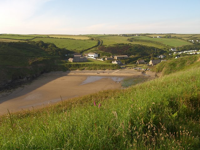
Nolton Haven

Bay in Pembrokeshire

Wales

Nolton Haven

Flower-decked drystone wall Note the windswept bush!
Flower-decked drystone wall Credit: Marion Phillips

The requested URL returned error: 429 Too Many Requests

If you have any feedback on the listing, please let us know in the comments section below.
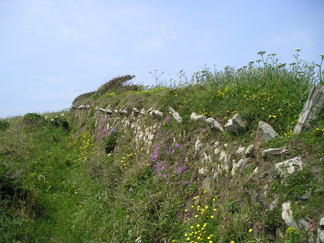
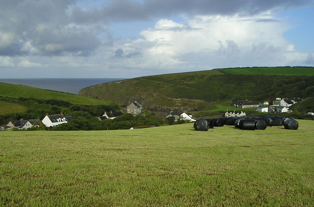
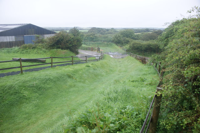
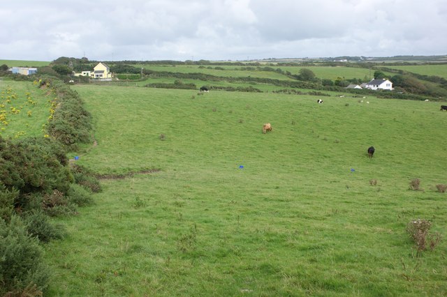
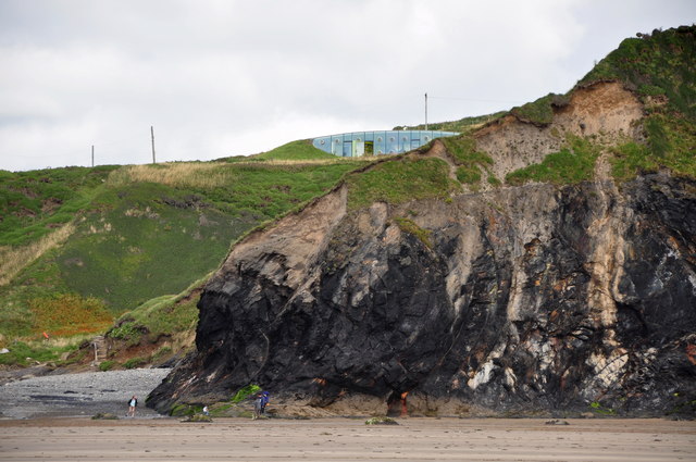
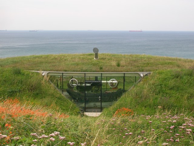
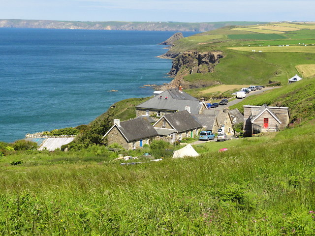
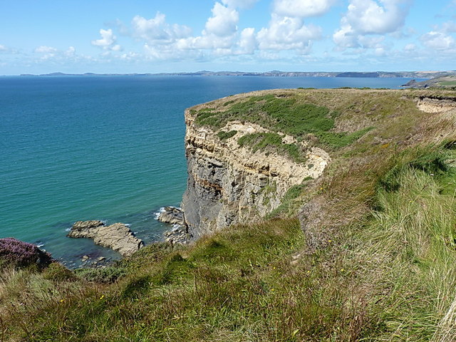
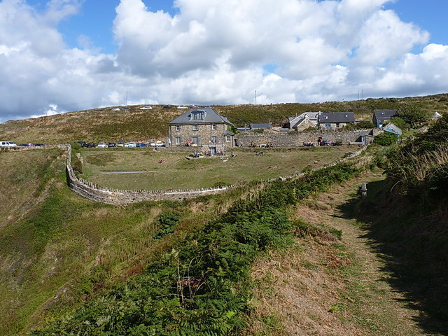
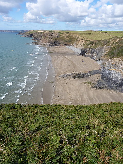
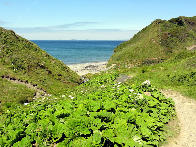
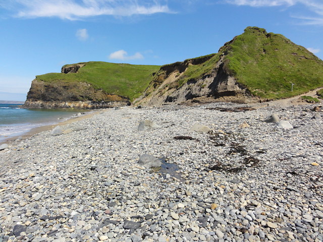
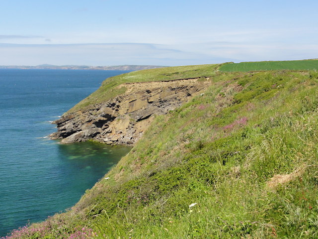
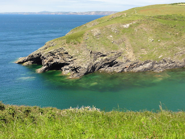
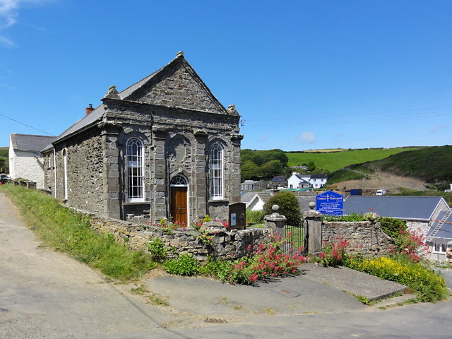
Nolton Haven Images

Images are sourced within 2km of 51.823034/-5.1103946 or Grid Reference SM8518. Thanks to Geograph Open Source API. All images are credited.

Flower-decked drystone wall Note the windswept bush!
Flower-decked drystone wall
Note the windswept bush!
Silage bales and storm clouds Silage bales safely wrapped before the summer storm.
Silage bales and storm clouds
Silage bales safely wrapped before the summer storm.
Sewage pumping station and tramway The tramway leads down to the remains of a brickworks. The finished bricks could be transshipped by sea.
Sewage pumping station and tramway
The tramway leads down to the remains of a brickworks. The finished bricks could be transshipped by sea.
Zorbing run at Nolton Stables
Farmland near Little Folly, Nolton Haven Looking east from the stile where the public footpath meets the coast road.
Farmland near Little Folly, Nolton Haven
Looking east from the stile where the public footpath meets the coast road.
Malator House Another view of this earth covered, eco-house, from Druidston Haven beach
Malator House
Another view of this earth covered, eco-house, from Druidston Haven beach
Coast road above Druidston Haven The coast road here forms part of National Cycle Network Route 4.  The St David's peninsula can be seen in the background across St Bride's Bay.
Coast road above Druidston Haven
The coast road here forms part of National Cycle Network Route 4. The St David's peninsula can be seen in the background across St Bride's Bay.
Underground house at Druidston Haven Looking west from the coast road, with tankers moored in St Bride's Bay visible on the horizon.
Underground house at Druidston Haven
Looking west from the coast road, with tankers moored in St Bride's Bay visible on the horizon.
Ordnance Survey Flush Bracket 11522 This can be found on the wall of Saddlers Cottage.
For more detail see : <span class="nowrap"><a title="http://www.bench-marks.org.uk/bm22534" rel="nofollow ugc noopener" href="http://www.bench-marks.org.uk/bm22534">Link</a><img style="margin-left:2px;" alt="External link" title="External link - shift click to open in new window" src="https://s1.geograph.org.uk/img/external.png" width="10" height="10"/></span>
Ordnance Survey Flush Bracket 11522
This can be found on the wall of Saddlers Cottage. For more detail see : LinkExternal link
Druidston Hotel This hotel is set in a very scenic location near Druidston Haven.
Druidston Hotel
This hotel is set in a very scenic location near Druidston Haven.
Steep cliff at Druidston Chins One of several steep cliff sections along this part of the Pembs Coastal Path. There seems to have been little change here in the last 5 years <a href="https://www.geograph.org.uk/photo/1538467">SM8616 : Druidston Chins</a>
Steep cliff at Druidston Chins
One of several steep cliff sections along this part of the Pembs Coastal Path. There seems to have been little change here in the last 5 years SM8616 : Druidston Chins
The Druidston Hotel The hotel sits in its own enclosed, walled garden, on a steep hillside above Druidston beach. They serve rather good bar snacks and lunches on a warm August Saturday afternoon, and are happy to allow dogs in the garden area.
The Druidston Hotel
The hotel sits in its own enclosed, walled garden, on a steep hillside above Druidston beach. They serve rather good bar snacks and lunches on a warm August Saturday afternoon, and are happy to allow dogs in the garden area.
Over the cliff at Druidston to the beach below
Path to the Beach The coast path, coming back to the coast from its excursion around the back of the Druidston Hotel, swings down the valley to the beach here at Druidston Haven.
Path to the Beach
The coast path, coming back to the coast from its excursion around the back of the Druidston Hotel, swings down the valley to the beach here at Druidston Haven.
The Beach at Druidston Haven This is not a haven in the sense of a harbour, it's just a sandy beach below a shingle ridge but you could beach a boat here on the tide.
The Beach at Druidston Haven
This is not a haven in the sense of a harbour, it's just a sandy beach below a shingle ridge but you could beach a boat here on the tide.
The Cliffside near Madoc's Haven
The Entrance to Nolton Haven Clear water and a high tide.
The Entrance to Nolton Haven
Clear water and a high tide.
Nolton Haven United Reformed Church Still in use as a church, at the time of photographing, with regular services.
Nolton Haven United Reformed Church
Still in use as a church, at the time of photographing, with regular services.
Show me another place!

Nolton Haven is located at Grid Ref: SM8518 (Lat: 51.823034, Lng: -5.1103946)

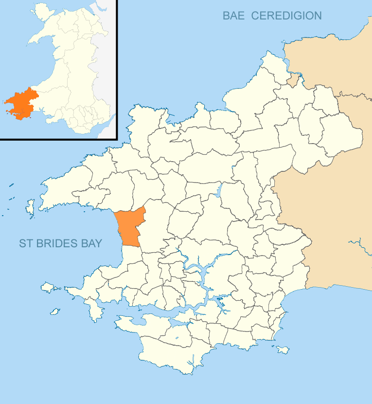
Unitary Authority: Pembrokeshire

Police Authority: Dyfed Powys

What 3 Words

///alienated.digits.unzips. Near Broad Haven, Pembrokeshire

Related Wikis

Nolton Haven

Nolton Haven is a hamlet halfway along the coast of St Bride's Bay in Pembrokeshire, Wales. It is included within the Pembrokeshire Coast National Park...

Nolton and Roch

Nolton and Roch (Welsh: Nolton a'r Garn) is a community in the Hundred of Roose, Pembrokeshire, Wales. The community consists essentially of the villages...

Druidston

Druidston is a hamlet within the community of Nolton and Roch on the St Brides Bay coast of Pembrokeshire, Wales. Druidston Cross is an eastern outlier...

Pembrokeshire Coast National Park

Pembrokeshire Coast National Park (Welsh: Parc Cenedlaethol Arfordir Penfro) is a national park along the Pembrokeshire coast in west Wales. It was established...

Nearby Amenities

Located within 500m of 51.823034,-5.1103946
Passing Place
Lat/Long: 51.8214032/-5.1045583
Passing Place
Lat/Long: 51.8209953/-5.1042379
Nolton Haven
Is In: Pembrokeshire,Wales,UK
Name Cy: Nolton Haven
Name En: Nolton Haven
Phone: +44 1437 710469
Place: village
Wikidata: Q16766342
Wikipedia: en:Nolton Haven
Lat/Long: 51.8252708/-5.1061143
Barrier: kissing_gate
Lat/Long: 51.8198819/-5.1083071
Barrier: kissing_gate
Lat/Long: 51.8242098/-5.1071875
Barrier: kissing_gate
Lat/Long: 51.8219708/-5.1093724
Post Box
Post Box Type: lamp
Lat/Long: 51.8249001/-5.1073628
Recycling
Recycling Glass Bottles: yes
Recycling Newspaper: yes
Lat/Long: 51.8250545/-5.1063535
Telephone
Booth: KX100
Covered: booth
Lat/Long: 51.8249975/-5.1075316
Life Ring
Emergency: life_ring
Lat/Long: 51.8248543/-5.1078854
Bicycle Parking
Capacity: 2
Covered: no
Fee: no
Lat/Long: 51.8250499/-5.1072737
Board Type: notice
Information: board
Tourism: information
Lat/Long: 51.8249793/-5.1077999
Leisure: slipway
Lat/Long: 51.8247283/-5.1081022
Defibrillator
Emergency: defibrillator
Opening Hours: 24/7
Lat/Long: 51.8250127/-5.1077049
Direction: SSW
Generator Method: photovoltaic
Generator Output Electricity: yes
Generator Solar Modules: 8
Generator Source: solar
Generator Type: solar_photovoltaic_panel
Location: roof
Power: generator
Lat/Long: 51.8244197/-5.1052724
Passing Place
Lat/Long: 51.8216489/-5.1047029
Give Way
Direction: backward
Lat/Long: 51.8246267/-5.1063065
The data included in this document is from www.openstreetmap.org. The data is made available under ODbL.

Have you been to Nolton Haven?

Leave your review of Nolton Haven below (or comments, questions and feedback).