Butts Bay

Bay in Pembrokeshire

Wales

Butts Bay

Stepping Stones, Sandy Farm, Pembrokeshire Looking north up the estuary, make sure you get there at low tide to see and use the stepping stones.
Stepping Stones, Sandy Farm, Pembrokeshire Credit: Julian Dowse

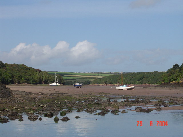
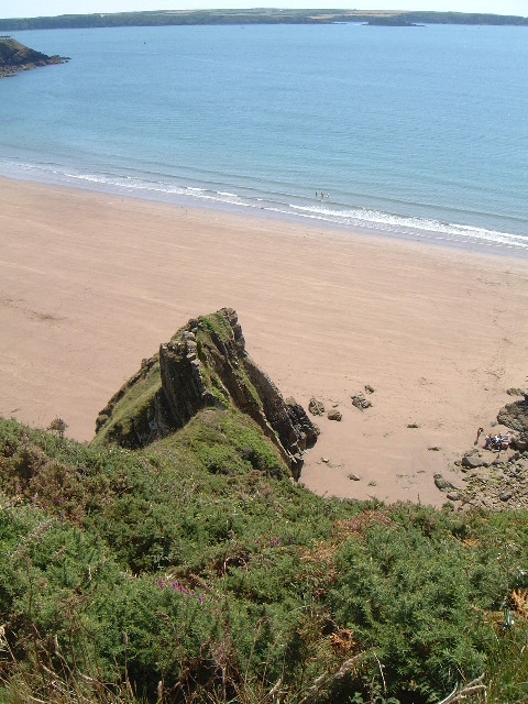
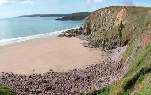
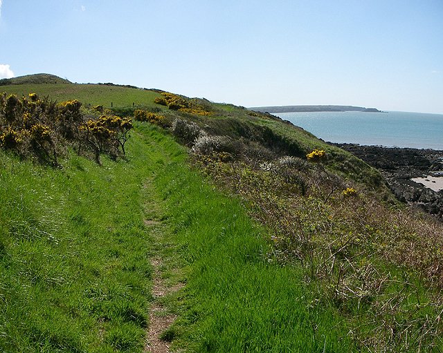
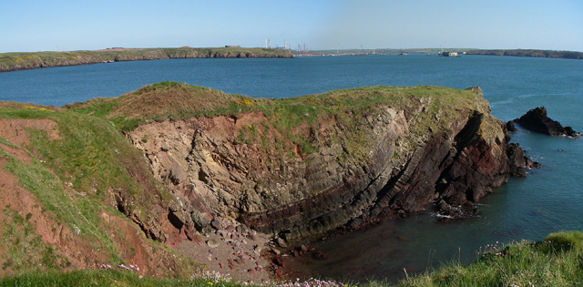
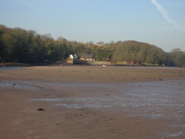
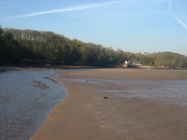
Butts Bay is a picturesque bay located in Pembrokeshire, a county in southwest Wales. Situated along the stunning coastline, the bay offers breathtaking views of the Irish Sea and is surrounded by rugged cliffs and rolling hills. The bay is named after the nearby village of Butt, which is known for its charming cottages and historic buildings.

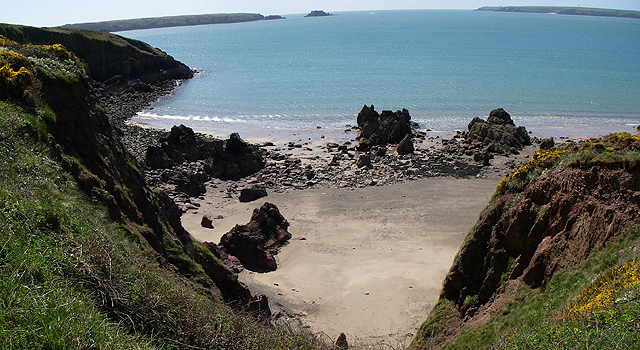
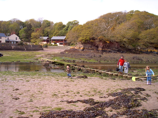
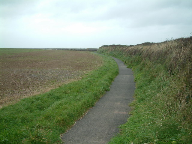
The sandy beach of Butts Bay stretches for approximately 200 meters and is a popular spot for locals and tourists alike. The crystal-clear waters are ideal for swimming, and the beach is also a great place for sunbathing and picnicking. During low tide, visitors can explore the rock pools and discover a variety of marine life.

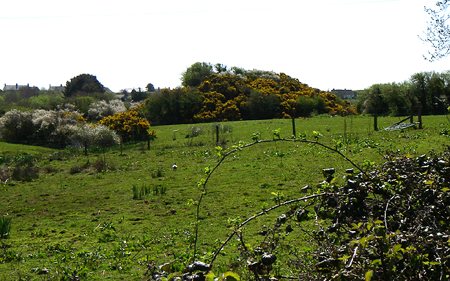
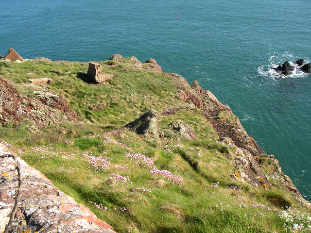
The bay is surrounded by lush greenery, creating a tranquil and serene atmosphere. There are several walking trails and coastal paths that allow visitors to explore the area and take in the breathtaking scenery. Wildlife enthusiasts can spot a range of bird species, including cormorants, gannets, and guillemots, as well as seals and dolphins in the bay.

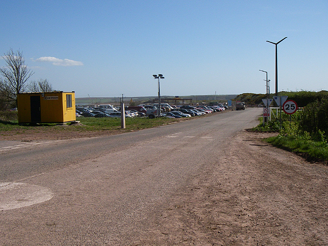
Facilities in Butts Bay are limited, but there is a small car park nearby for visitors' convenience. The bay is also accessible by public transport, with regular bus services running through the area. Overall, Butts Bay offers a peaceful and idyllic setting for those seeking natural beauty and relaxation on the Pembrokeshire coast.

If you have any feedback on the listing, please let us know in the comments section below.
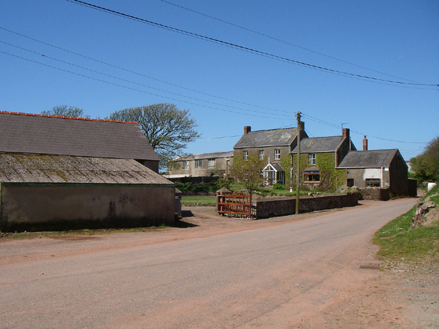
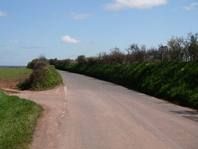
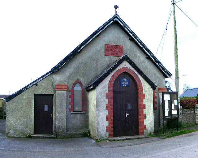
Butts Bay Images

Images are sourced within 2km of 51.716413/-5.1102055 or Grid Reference SM8506. Thanks to Geograph Open Source API. All images are credited.

Stepping Stones, Sandy Farm, Pembrokeshire Looking north up the estuary, make sure you get there at low tide to see and use the stepping stones.
Stepping Stones, Sandy Farm, Pembrokeshire
Looking north up the estuary, make sure you get there at low tide to see and use the stepping stones.
Lindsway Bay Lindsway Bay on the Pembrokeshire Coastal Path. Situated between Monk Haven and Sandy Haven.
Lindsway Bay
Lindsway Bay on the Pembrokeshire Coastal Path. Situated between Monk Haven and Sandy Haven.
St. Ishmael's - Lindsway Bay Beautiful beach. Taken looking west.
St. Ishmael's - Lindsway Bay
Beautiful beach. Taken looking west.
Motte The Motte to the north of St.Ishmael's.
Motte
The Motte to the north of St.Ishmael's.
Bicton Bicton farm.
Bicton
Bicton farm.
Road Junction Turn left for Haverfordwest.
Road Junction
Turn left for Haverfordwest.
Church Hall St.Mary's Church Hall built 1912 in the village of Herbrandston.
Church Hall
St.Mary's Church Hall built 1912 in the village of Herbrandston.
Coast Path Looking south along the Pembrokeshire coast path. 
The headland on the horizon is the Angle peninsula.
Coast Path
Looking south along the Pembrokeshire coast path. The headland on the horizon is the Angle peninsula.
Kilroom Bay I'd love to know where this name comes from.
Kilroom Bay
I'd love to know where this name comes from.
Car Park The car park for the site workers at the controversial LPG plant being built in the Pembrokeshire National Park.
Car Park
The car park for the site workers at the controversial LPG plant being built in the Pembrokeshire National Park.
Little Castle Head The headland called Little Castle head.

The 'lump' left of centre is the 'Fort'.
Little Castle Head
The headland called Little Castle head. The 'lump' left of centre is the 'Fort'.
Great Castle Head Great Castle Head from the bottom corner of the wall that is just inside this grid square at SM 847 059. I think the brickwork that can be seen must be the remains of a pill box.
Great Castle Head
Great Castle Head from the bottom corner of the wall that is just inside this grid square at SM 847 059. I think the brickwork that can be seen must be the remains of a pill box.
The crab bridge Sandy Haven Pill This bridge and stepping stones on the coast path have been used by generations of children to collect crabs. The bridge is only above the tide for around 2 hours either side of low tide.
The crab bridge Sandy Haven Pill
This bridge and stepping stones on the coast path have been used by generations of children to collect crabs. The bridge is only above the tide for around 2 hours either side of low tide.
Sandy Haven from the beach
Sandy Haven Pill reaching the sea.
Victorian Folly at Watch House Point This tower no longer has a roof, although a set of steps leads to where the flat roof should be.
Victorian Folly at Watch House Point
This tower no longer has a roof, although a set of steps leads to where the flat roof should be.
Footpath to St Ishmaels This tarmac footpath is wheelchair friendly. It starts at the public conveniences near the sports field in St Ishmaels and gives access to the cliff top.
Footpath to St Ishmaels
This tarmac footpath is wheelchair friendly. It starts at the public conveniences near the sports field in St Ishmaels and gives access to the cliff top.
Little Castle Head Beacon This tower is one of a number of navigation beacons provided by the Milford Haven Port Authority.
Little Castle Head Beacon
This tower is one of a number of navigation beacons provided by the Milford Haven Port Authority.
Show me another place!

Butts Bay is located at Grid Ref: SM8506 (Lat: 51.716413, Lng: -5.1102055)

Unitary Authority: Pembrokeshire

Police Authority: Dyfed Powys

What 3 Words

///conforms.curving.surfed. Near Herbrandston, Pembrokeshire

Related Wikis

Milford Haven Waterway

Milford Haven Waterway (Welsh: Dyfrffordd Aberdaugleddau) is a natural harbour in Pembrokeshire, Wales. It is a ria or drowned valley which was flooded...

St Ishmaels

St Ishmaels or St Ishmael's (Welsh: Llanismel) is a village, parish and community close to the Milford Haven Waterway in Pembrokeshire, Wales. The community...

Stack Rock Fort

Stack Rock Fort is a fort built on a small island in the Milford Haven Waterway, Pembrokeshire, Wales. A 3-gun fort was built between 1850 and 1852, and...

Herbrandston

Herbrandston is a village, parish and community on the north side of the River Cleddau, in Pembrokeshire, Wales. It is located to the west of Milford Haven...

Nearby Amenities

Located within 500m of 51.716413,-5.1102055
Seamark Information: Visible 031° 12´ -048° 12´
Seamark Light Character: Oc
Seamark Light Colour: white
Seamark Light Height: 53
Seamark Light Period: 8
Seamark Light Range: 15
Seamark Light Reference: A 5287.1
Seamark Light Sequence: 6+(2)
Seamark Light Visibility: part_obscured
Seamark Type: light_minor
Source: US NGA Pub. 114. 2011-05-26.
Lat/Long: 51.7173/-5.10965
Ford: yes
Lat/Long: 51.7149971/-5.1136728
The data included in this document is from www.openstreetmap.org. The data is made available under ODbL.

Have you been to Butts Bay?

Leave your review of Butts Bay below (or comments, questions and feedback).