Watwick Bay
Bay in Pembrokeshire
Wales
Watwick Bay
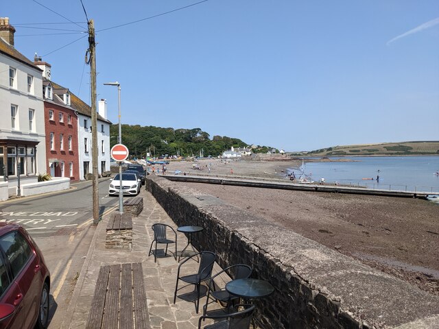
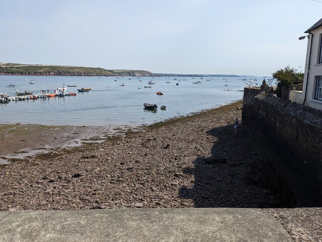
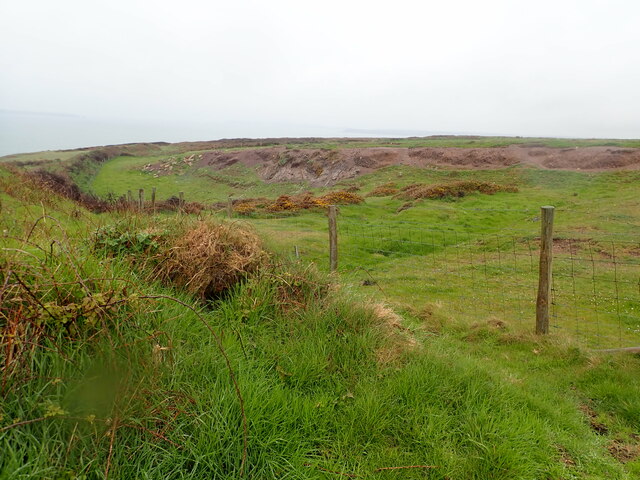
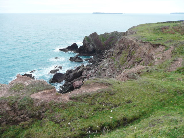
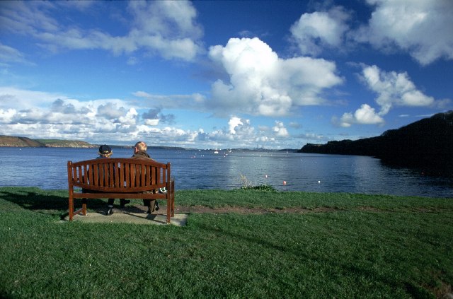
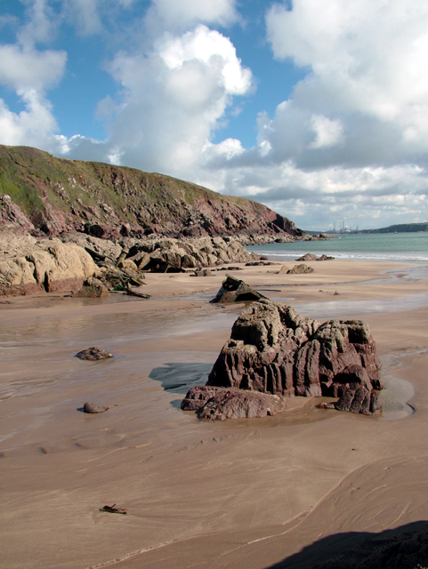
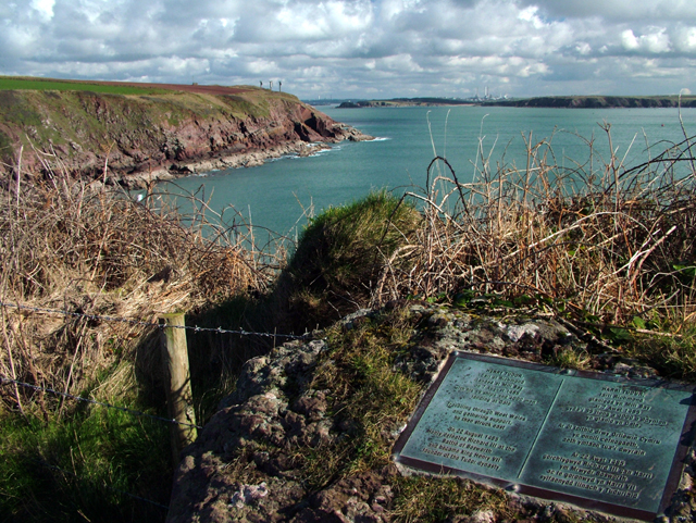
Watwick Bay is a picturesque cove located on the southern coast of Pembrokeshire in Wales. It is known for its stunning natural beauty, with rugged cliffs, golden sandy beaches, and crystal clear waters. The bay is relatively secluded and peaceful, making it a popular destination for visitors looking to escape the crowds and enjoy a tranquil day by the sea.
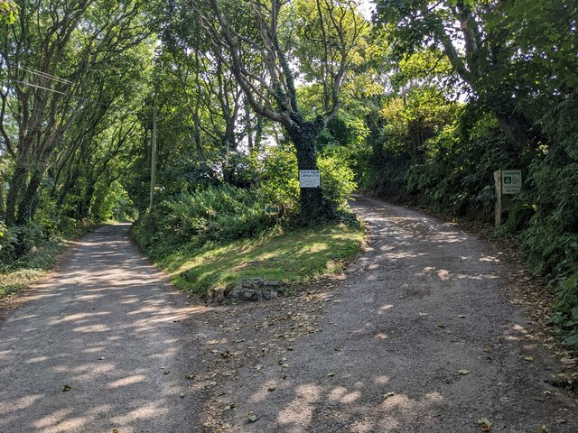
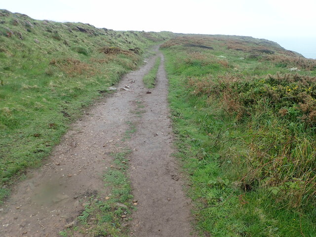
The bay is surrounded by lush greenery and rolling hills, providing a stunning backdrop for beachgoers and hikers alike. The sandy beach is ideal for sunbathing, picnicking, and swimming, while the rocky areas offer opportunities for exploring tide pools and spotting marine life.
Watwick Bay is also a great spot for water sports enthusiasts, with opportunities for surfing, kayaking, and paddleboarding. The bay is relatively sheltered, making it a safe and enjoyable place to try out these activities.
Overall, Watwick Bay is a hidden gem in Pembrokeshire, offering visitors a chance to experience the natural beauty and tranquility of the Welsh coast. Whether you're looking for a relaxing day at the beach or an adventurous water sports experience, Watwick Bay has something for everyone.
If you have any feedback on the listing, please let us know in the comments section below.
Watwick Bay Images
Images are sourced within 2km of 51.691436/-5.1577248 or Grid Reference SM8103. Thanks to Geograph Open Source API. All images are credited.


Watwick Bay is located at Grid Ref: SM8103 (Lat: 51.691436, Lng: -5.1577248)
Unitary Authority: Pembrokeshire
Police Authority: Dyfed Powys
What 3 Words
///tested.viewing.meaty. Near Dale, Pembrokeshire
Nearby Locations
Related Wikis

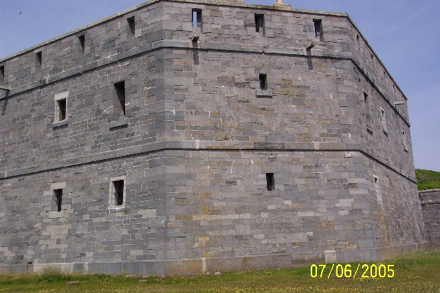
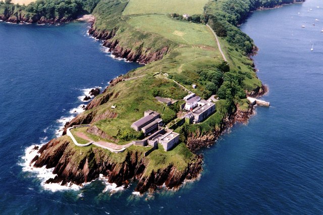
West Blockhouse Fort
West Blockhouse Fort is a mid-19th century coastal artillery fort at West Blockhouse Point, a rocky headland near Dale, Pembrokeshire, to the west of Milford...
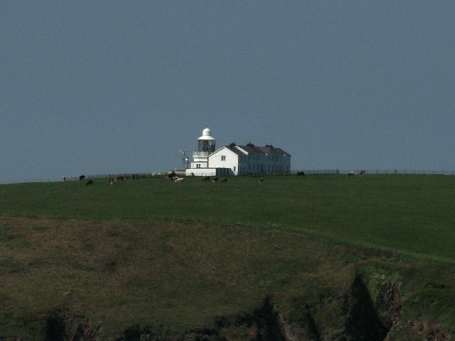
Watwick Point Beacon
Watwick Point Beacon is a leading light, which is a type of lighthouse, located near Dale, Pembrokeshire, in Wales. It is designed to lead ships into Milford...

Dale Fort
Dale Fort is a mid-19th-century coastal artillery fort at Dale Head, a rocky promontory near Dale, Pembrokeshire, west of Milford Haven in Wales. It is...

MV Sea Empress
The MV Sea Empress was a single-hull Suezmax oil tanker that ran aground at the entrance to the Milford Haven harbour on the southwest coast of Wales in...
Nearby Amenities
Located within 500m of 51.691436,-5.1577248Have you been to Watwick Bay?
Leave your review of Watwick Bay below (or comments, questions and feedback).