Mill Bay
Bay in Pembrokeshire
Wales
Mill Bay
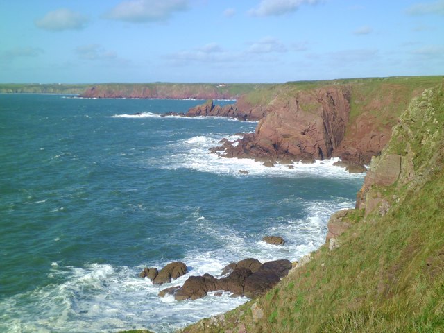
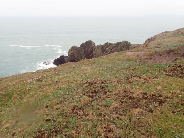
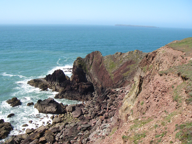
![Little Castle Point Atlantic surf breaking over rocks at the foot of cliffs at Little Castle Point. Out to sea is the island of Skokholm with the white lighthouse just visible at the left [SW] end.](https://s0.geograph.org.uk/geophotos/03/76/25/3762592_e7711935.jpg)
The requested URL returned error: 429 Too Many Requests
If you have any feedback on the listing, please let us know in the comments section below.
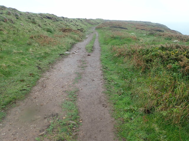
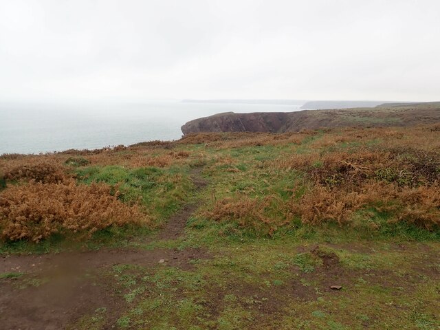
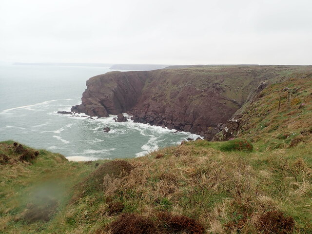
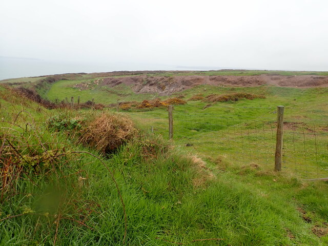
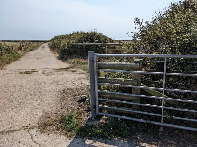
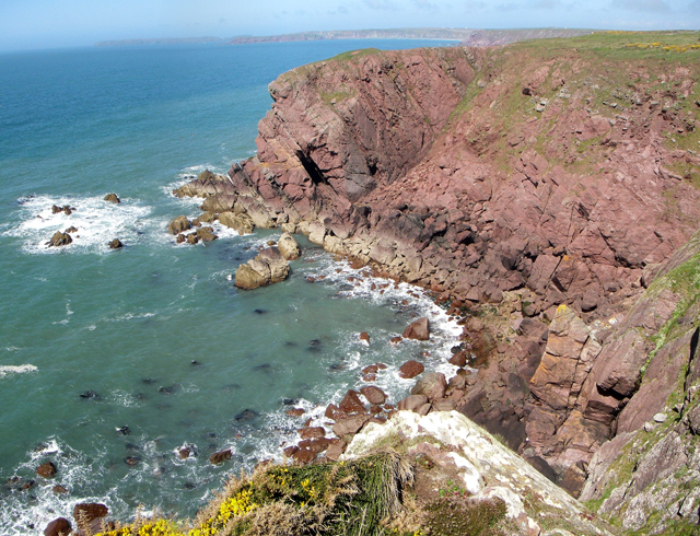
Mill Bay Images
Images are sourced within 2km of 51.684349/-5.1673745 or Grid Reference SM8103. Thanks to Geograph Open Source API. All images are credited.


Mill Bay is located at Grid Ref: SM8103 (Lat: 51.684349, Lng: -5.1673745)
Unitary Authority: Pembrokeshire
Police Authority: Dyfed Powys
What 3 Words
///clusters.desktop.perfectly. Near Dale, Pembrokeshire
Nearby Locations
Related Wikis

St Ann's Head Lighthouse
St. Ann's Head Lighthouse is a lighthouse that overlooks the entrance to the Milford Haven waterway, one of Britain's deep water harbours, from St. Ann...

MV Sea Empress
The MV Sea Empress was a single-hull Suezmax oil tanker that ran aground at the entrance to the Milford Haven harbour on the southwest coast of Wales in...

West Blockhouse Fort
West Blockhouse Fort is a mid-19th century coastal artillery fort at West Blockhouse Point, a rocky headland near Dale, Pembrokeshire, to the west of Milford...
Sea Empress oil spill
The Sea Empress oil spill occurred at the entrance to the Milford Haven Waterway in Pembrokeshire, Wales on 16 February 1996. The Sea Empress was en route...
Nearby Amenities
Located within 500m of 51.684349,-5.1673745Have you been to Mill Bay?
Leave your review of Mill Bay below (or comments, questions and feedback).