Porth y Bwch
Bay in Pembrokeshire
Wales
Porth y Bwch
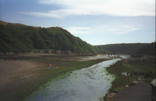
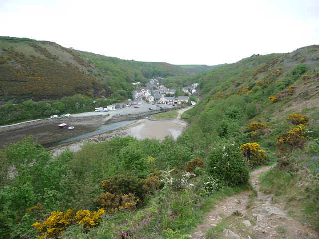
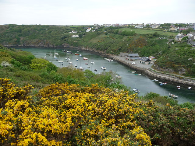
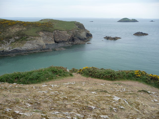
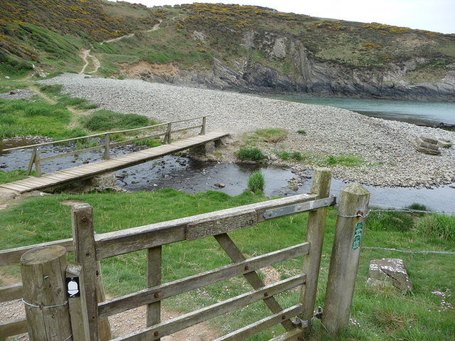
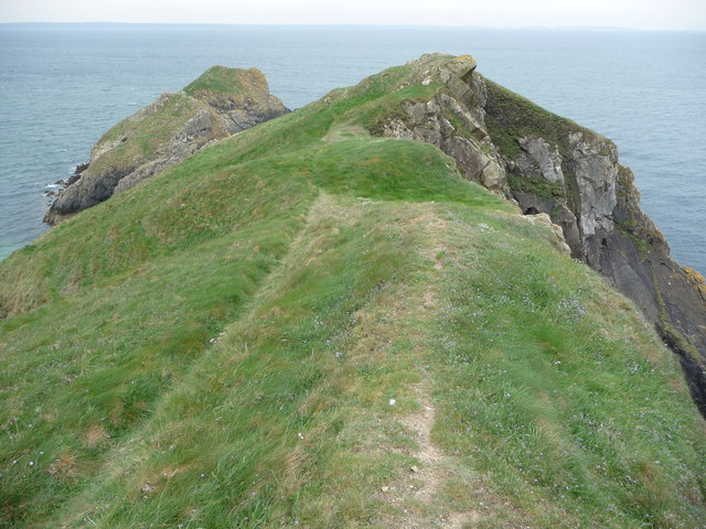
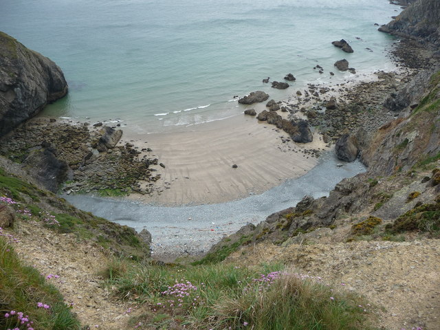
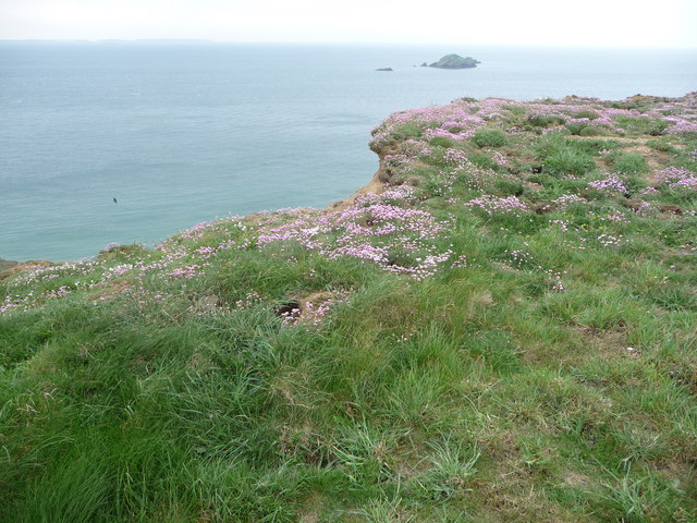
Porth y Bwch is a picturesque bay located on the coastline of Pembrokeshire, Wales. Situated just south of the village of Abercastle, this bay is renowned for its natural beauty and tranquil atmosphere. The name "Porth y Bwch" translates to "Bay of the Buck" in English, which is believed to refer to the presence of deer in the area in the past.
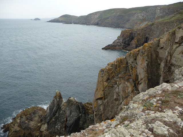
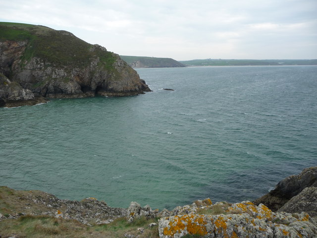
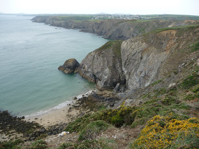
The bay is characterized by its stunning sandy beach, which stretches for approximately 500 meters along the coastline. The beach is mostly secluded and surrounded by towering cliffs, offering visitors a sense of privacy and seclusion. The crystal-clear waters of Porth y Bwch are ideal for swimming, and the bay is also popular amongst surfers, kayakers, and paddleboarders.
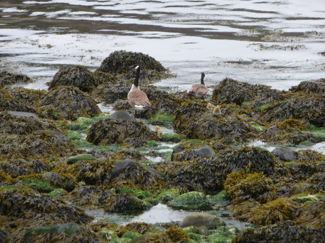
The area surrounding the bay is rich in wildlife and natural wonders. Porth y Bwch is part of the Pembrokeshire Coast National Park, which is renowned for its diverse flora and fauna. Visitors may have the chance to spot various seabirds, dolphins, seals, and even the occasional whale.
Access to Porth y Bwch is relatively easy, with a small car park located nearby. From there, a short walk leads visitors down to the beach, where they can enjoy the stunning scenery and the sound of waves crashing against the shore. Porth y Bwch is an ideal destination for those seeking a peaceful and unspoiled coastal experience in Pembrokeshire.
If you have any feedback on the listing, please let us know in the comments section below.
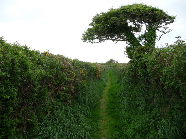
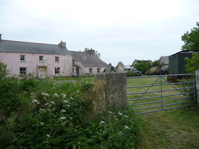
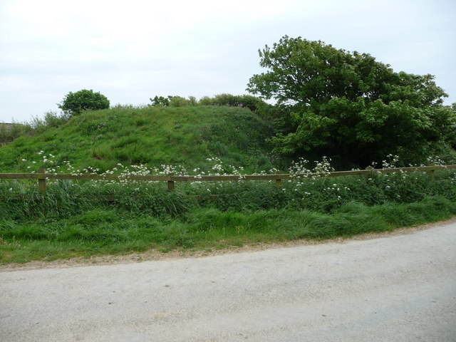
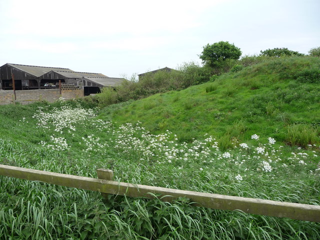
Porth y Bwch Images
Images are sourced within 2km of 51.866584/-5.1796055 or Grid Reference SM8123. Thanks to Geograph Open Source API. All images are credited.
Porth y Bwch is located at Grid Ref: SM8123 (Lat: 51.866584, Lng: -5.1796055)
Unitary Authority: Pembrokeshire
Police Authority: Dyfed Powys
What 3 Words
///escapades.hockey.wiped. Near St Davids, Pembrokeshire
Nearby Locations
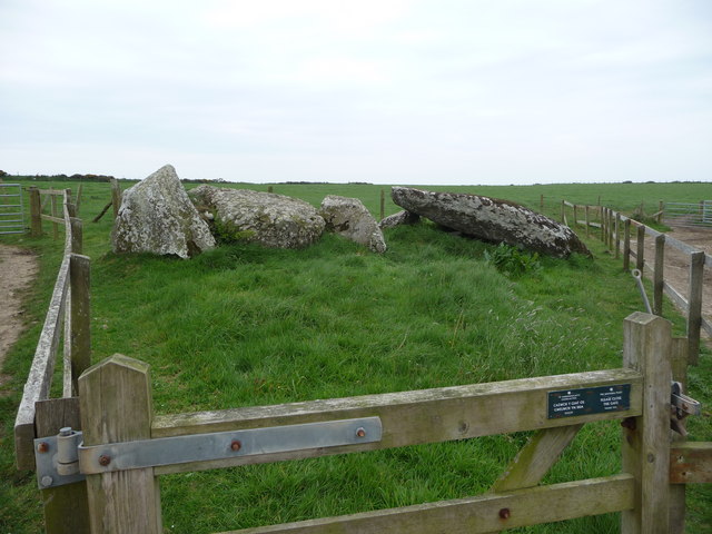
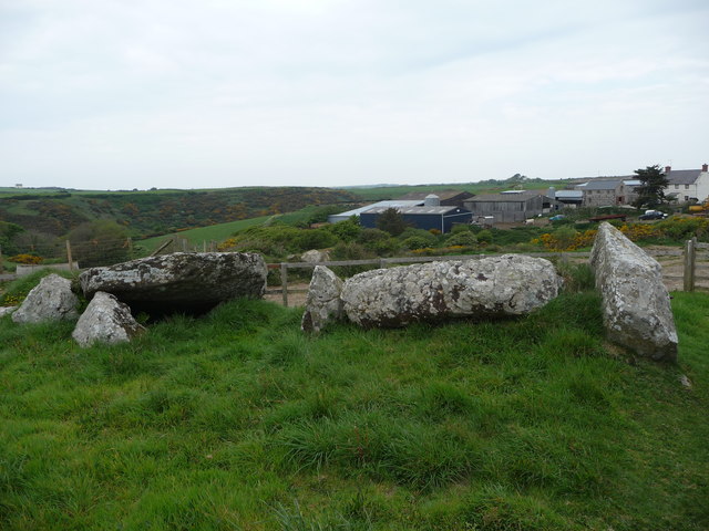
Related Wikis

Pembrokeshire Coast Path
The Pembrokeshire Coast Path (Welsh: Llwybr Arfordir Sir Benfro), often called the Pembrokeshire Coastal Path, is a designated National Trail in Pembrokeshire...

St Elvis, Pembrokeshire
St Elvis (Welsh: Llaneilfyw, [ɬanəilvəu]) is a parish in Pembrokeshire, Wales, about 4 miles (6 km) east of St David's. At 200 acres (81 ha) it is one...

River Solva
The River Solva (Welsh: Afon Solfach) is a small river in Pembrokeshire, Wales. Its source is a few hundred metres southeast of Croesgoch and flows ten...

Solva limekilns
The Solva limekilns are a row of disused limekilns in the harbour of the village of Solva, Pembrokeshire, Wales. The kilns have a Grade II heritage listing...
Nearby Amenities
Located within 500m of 51.866584,-5.1796055Have you been to Porth y Bwch?
Leave your review of Porth y Bwch below (or comments, questions and feedback).