Port an Eòrna
Bay in Ross-shire
Scotland
Port an Eòrna
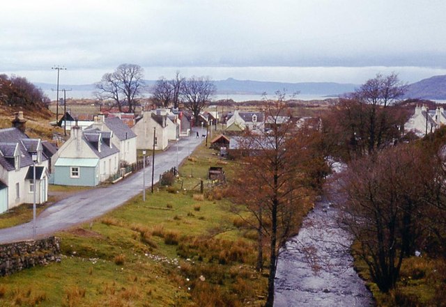
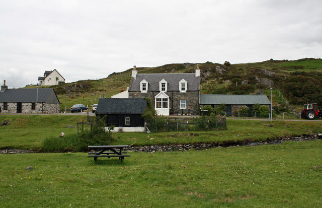
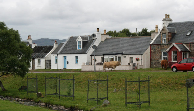
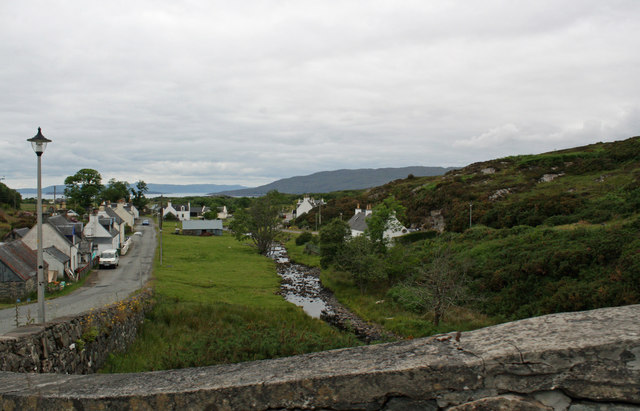
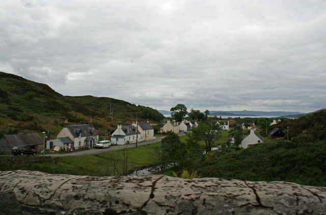
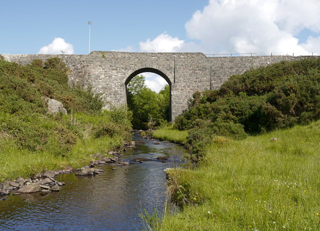
Port an Eòrna, also known as Bay of Barley, is a picturesque coastal area located in Ross-shire, Scotland. It is situated on the eastern shore of Loch Ewe, a sea loch in the Scottish Highlands. The bay is known for its stunning natural beauty and tranquil atmosphere.
Surrounded by rolling hills and rocky cliffs, Port an Eòrna offers breathtaking panoramic views of the loch and the surrounding landscape. The bay itself is a sheltered inlet, providing a safe haven for boats and a popular spot for water activities such as sailing, kayaking, and fishing.
With its rich maritime history, Port an Eòrna has been an important trading and fishing port for centuries. The area was once a thriving hub for the herring industry, and remnants of old fishing huts can still be found along the shoreline.
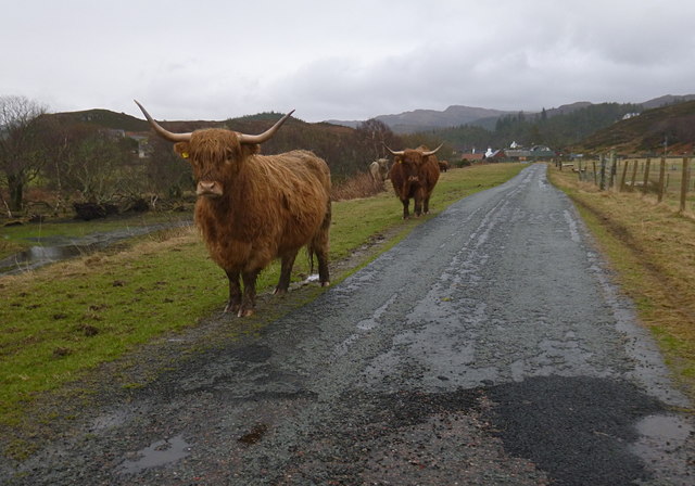
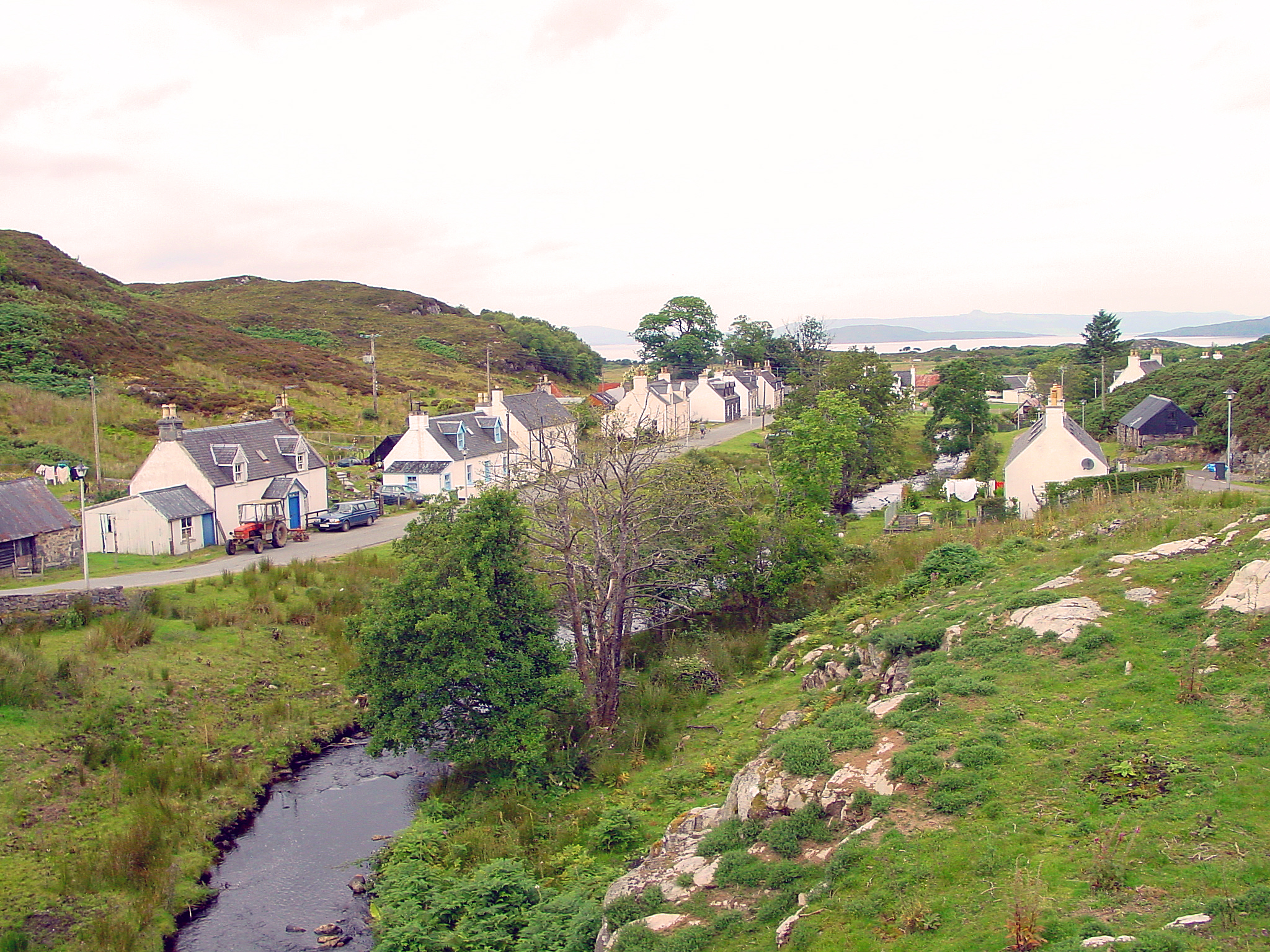
Today, Port an Eòrna is a popular destination for tourists seeking a peaceful retreat amidst nature. The area offers various walking trails that allow visitors to explore the rugged coastline and enjoy the abundance of wildlife, including seals, seabirds, and even occasional sightings of dolphins.
The nearby village of Poolewe provides amenities and accommodations for visitors, including hotels, bed and breakfasts, and camping sites. Additionally, there are several charming cafes and restaurants where visitors can indulge in local seafood delicacies.
Overall, Port an Eòrna is a hidden gem on the Scottish coast, offering a perfect blend of natural beauty, tranquility, and historical charm.
If you have any feedback on the listing, please let us know in the comments section below.
Port an Eòrna Images
Images are sourced within 2km of 57.326275/-5.6938432 or Grid Reference NG7732. Thanks to Geograph Open Source API. All images are credited.


Port an Eòrna is located at Grid Ref: NG7732 (Lat: 57.326275, Lng: -5.6938432)
Unitary Authority: Highland
Police Authority: Highlands and Islands
What 3 Words
///ultra.wished.trinkets. Near Kyleakin, Highland
Nearby Locations
Related Wikis

Port an Eòrna
Port an Eòrna is the Scottish Gaelic name for the small settlement of Barleyport, situated almost midway between Plockton and the Kyle of Lochalsh, in...

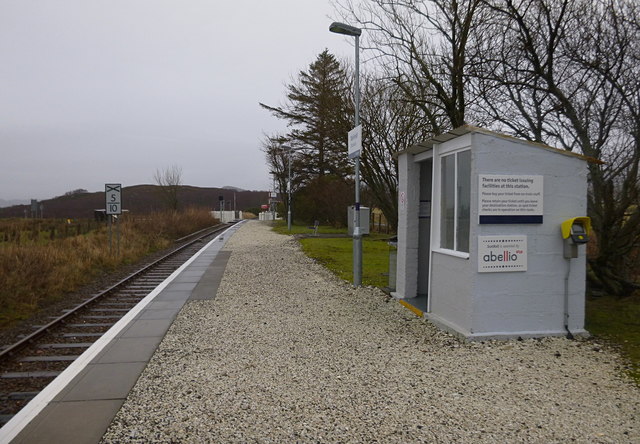
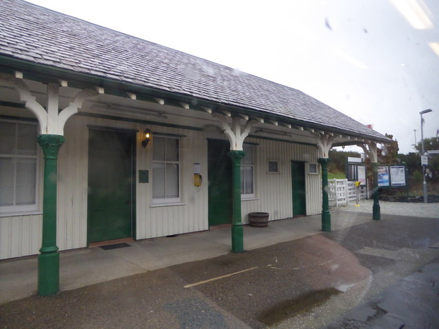
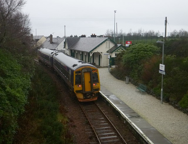
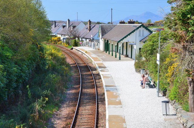
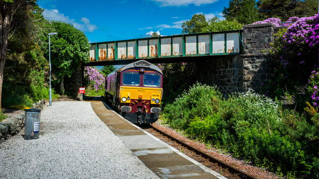
Duirinish railway station
Duirinish railway station is a remote railway station on the Kyle of Lochalsh Line near the settlement of Duirinish in the Highlands, northern Scotland...

Drumbuie
Drumbuie is a settlement situated less than 1 mile southwest of Duirinish in Lochalsh, Scottish Highlands and is in the council area of Highland. The fishing...
Duirinish, Lochalsh
Duirinish (Scottish Gaelic: Diùirinis) is a hamlet in Lochalsh near Plockton in Ross-shire, Scottish Highlands and is in the Scottish council area of Highland...
Nearby Amenities
Located within 500m of 57.326275,-5.6938432Have you been to Port an Eòrna?
Leave your review of Port an Eòrna below (or comments, questions and feedback).