Port Dail a' Chairn

Bay in Argyllshire

Scotland

Port Dail a' Chairn

Stone dykes at Tiretigan Snow-capped Paps of Jura through the trees.
Stone dykes at Tiretigan Credit: Alan Reid

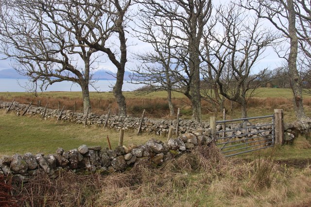
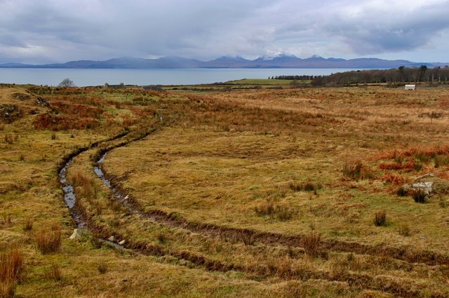
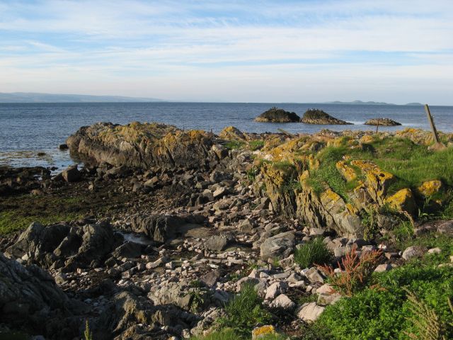
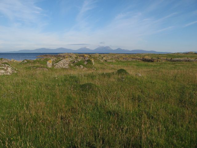
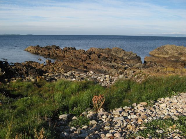
Port Dail a' Chairn is a picturesque bay located in Argyllshire, Scotland. It is nestled on the western coast of the Scottish Highlands, offering stunning views of the surrounding hills and cliffs. The bay is characterized by its tranquil waters, ideal for sailing, fishing, and other water activities.

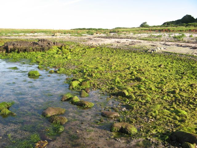
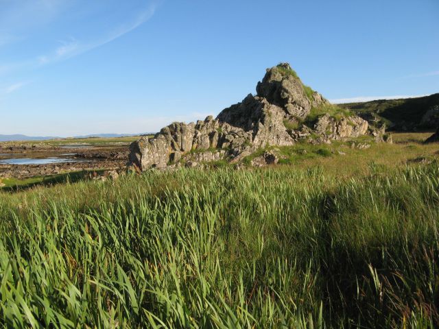
The bay is flanked by rugged coastline, with rocky outcrops and sandy beaches dotting the shoreline. The area is known for its rich marine life, making it a popular spot for birdwatching and wildlife enthusiasts. Common sightings include seals, dolphins, and various seabirds.

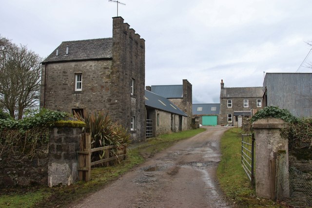
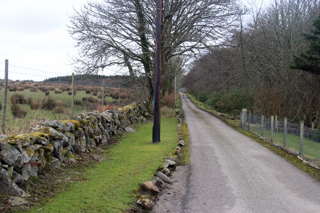
Port Dail a' Chairn is a popular destination for outdoor enthusiasts looking to explore the natural beauty of the Scottish countryside. The bay is surrounded by walking trails and hiking routes, making it a great starting point for exploring the surrounding hills and countryside.

Visitors to Port Dail a' Chairn can enjoy a peaceful and relaxing atmosphere, away from the hustle and bustle of city life. The bay offers a true escape to nature, with plenty of opportunities to unwind and enjoy the stunning scenery that Argyllshire has to offer.

If you have any feedback on the listing, please let us know in the comments section below.

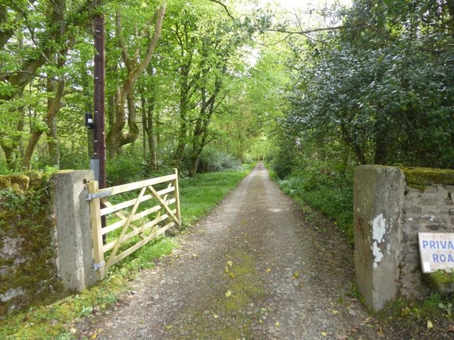
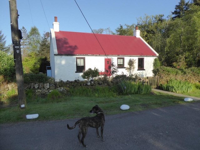
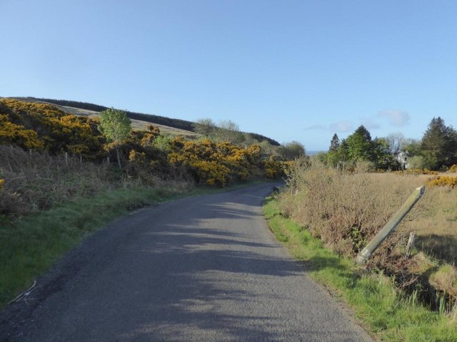
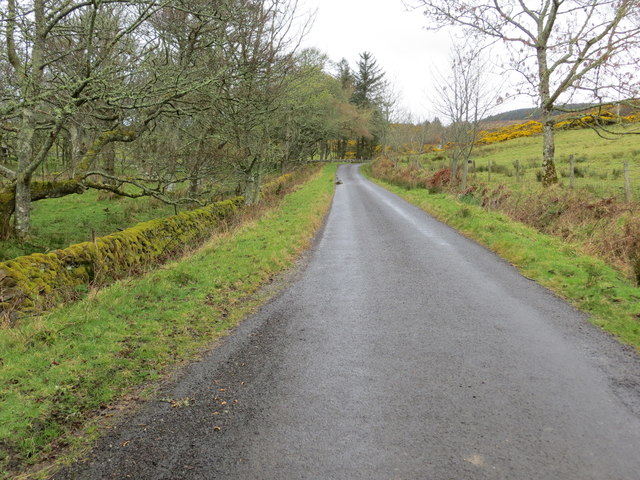
Port Dail a' Chairn Images

Images are sourced within 2km of 55.808674/-5.6663618 or Grid Reference NR7063. Thanks to Geograph Open Source API. All images are credited.

Stone dykes at Tiretigan Snow-capped Paps of Jura through the trees.
Stone dykes at Tiretigan
Snow-capped Paps of Jura through the trees.
Farm track at Keppoch Island of Jura across the sea.
Farm track at Keppoch
Island of Jura across the sea.
Kilberry Farm
Kilberry Farm
Road to Kilberry Castle
Ornate house name sign at Kilberry
Rubha an Righ Offshore rocks and a small promontory are formed by a particularly resistant outcrop of Dalradian schist. The population of cormorants on this coast is remarkable, and here are a group of over one dozen sunning themselves dry.
Rubha an Righ
Offshore rocks and a small promontory are formed by a particularly resistant outcrop of Dalradian schist. The population of cormorants on this coast is remarkable, and here are a group of over one dozen sunning themselves dry.
Erosion platform with Jura Pasture on the wave-cut platform stretches out for a significant distance below the relict cliff-line. This level is referred to as the Main Rock Platform and is a pronounced landscape feature throughout the Hebrides, arising through marine erosion at a time when relative sea level was higher than today. Debate continues regarding the age and origin of this feature, whose simplest explanation lies in the rebound of the land surface after the load of ice was lifted after de-glaciation. The profile of distant Jura fills the horizon.
Erosion platform with Jura
Pasture on the wave-cut platform stretches out for a significant distance below the relict cliff-line. This level is referred to as the Main Rock Platform and is a pronounced landscape feature throughout the Hebrides, arising through marine erosion at a time when relative sea level was higher than today. Debate continues regarding the age and origin of this feature, whose simplest explanation lies in the rebound of the land surface after the load of ice was lifted after de-glaciation. The profile of distant Jura fills the horizon.
Seaweed, Port na Gaillinn Luxuriant growth of very bright green seaweed on the upper shore of Port na Gaillinn. I believe that the seaweed is one of the Enteromorpha species, but it needs a closer look to be certain.
Seaweed, Port na Gaillinn
Luxuriant growth of very bright green seaweed on the upper shore of Port na Gaillinn. I believe that the seaweed is one of the Enteromorpha species, but it needs a closer look to be certain.
Promontory of schist Resistant beds of Dalradian schist finger out into the sea. There is a pronounced storm beach above the normal tide line, which makes walking difficult when weeds have grown over and hidden the surface. Gigha and Islay creep into the horizon, the latter with a surprising layer of cloud over its hills.
Promontory of schist
Resistant beds of Dalradian schist finger out into the sea. There is a pronounced storm beach above the normal tide line, which makes walking difficult when weeds have grown over and hidden the surface. Gigha and Islay creep into the horizon, the latter with a surprising layer of cloud over its hills.
Relict sea-stack At one time this prominent rock would have been a small rocky island lying some distance from a shore with rocky cliffs, but relative lowering of sea level has left it stranded. It is one of several such features on this stretch of the Main Rock Platform, a 'fossilised' landscape feature well known in the Hebrides (see also <a href="https://www.geograph.org.uk/photo/5097312">NR7062 : Erosion platform with Jura</a>). In the background can be seen both the extending platform and the relict cliff line. The sodden ground here supports a thick growth of Flag Iris and it is not easy walking.
Relict sea-stack
At one time this prominent rock would have been a small rocky island lying some distance from a shore with rocky cliffs, but relative lowering of sea level has left it stranded. It is one of several such features on this stretch of the Main Rock Platform, a 'fossilised' landscape feature well known in the Hebrides (see also NR7062 : Erosion platform with Jura). In the background can be seen both the extending platform and the relict cliff line. The sodden ground here supports a thick growth of Flag Iris and it is not easy walking.
Information board for the Kilberry Stones
Burnside Cottage Adjacent to Kilberry Farm
Burnside Cottage
Adjacent to Kilberry Farm
Drive to Kilberry Castle
Red roofed cottage at Kilberry
B8024 at Gortan Choirill
Sheep dip at Keppoch
The Home Farm at Kilberry Castle The strange protuberance is a television aerial which has lost its bearings a little.
The Home Farm at Kilberry Castle
The strange protuberance is a television aerial which has lost its bearings a little.
Road (B8024) approaching Tiretigan Looking northward.
Road (B8024) approaching Tiretigan
Looking northward.
Show me another place!

Port Dail a' Chairn is located at Grid Ref: NR7063 (Lat: 55.808674, Lng: -5.6663618)

Unitary Authority: Argyll and Bute

Police Authority: Argyll and West Dunbartonshire

What 3 Words

///hence.arrives.initial. Near Tarbert, Argyll & Bute

Related Wikis

Kilberry Castle

Kilberry Castle is a Category B listed country house near Kilberry in South Knapdale in the county of Argyll, in western Scotland on the shores of the...

Kilberry

Kilberry (Scottish Gaelic: Cill Bheiridh) is a village in Argyll and Bute, Scotland. It is close to the western coast of the district of Knapdale. Kilberry...

Kilcalmonell

The parish of Kilcalmonell is situated in Argyll and Bute, Scotland. It extends from Clachan, in Kintyre to Kilberry, in Knapdale. == References == W....

Ardpatrick, Argyll

Ardpatrick (Scottish Gaelic: Àird Phàdraig) is a village at the southwestern extremity of the Knapdale, Argyll, Scotland. The village is built along the...

Nearby Amenities

Located within 500m of 55.808674,-5.6663618
Bàn Phort
Lat/Long: 55.8093402/-5.6667363
Carraig à Choire
Lat/Long: 55.8077012/-5.6677351
Keppoch Point
Place: locality
Lat/Long: 55.8062269/-5.6678683
Port Dail à Chairn
Lat/Long: 55.8085768/-5.6662702
Sgeir Figheadair
Lat/Long: 55.8103579/-5.6673489
The data included in this document is from www.openstreetmap.org. The data is made available under ODbL.

Have you been to Port Dail a' Chairn?

Leave your review of Port Dail a' Chairn below (or comments, questions and feedback).