Keppoch Point
Coastal Feature, Headland, Point in Argyllshire
Scotland
Keppoch Point
The requested URL returned error: 429 Too Many Requests
If you have any feedback on the listing, please let us know in the comments section below.
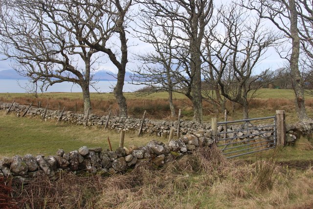
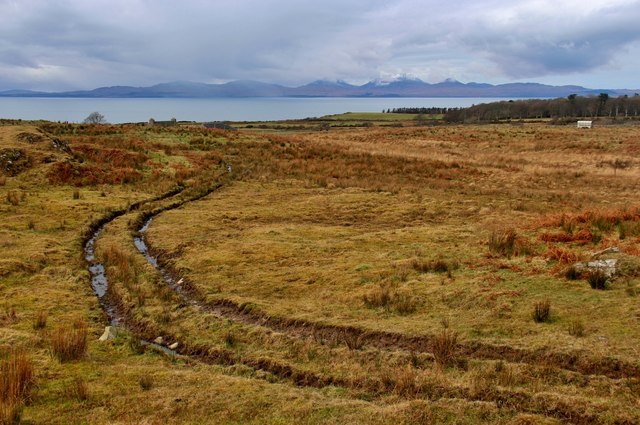
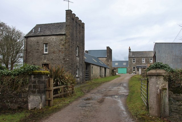
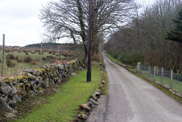
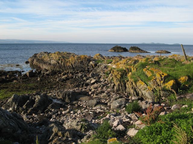
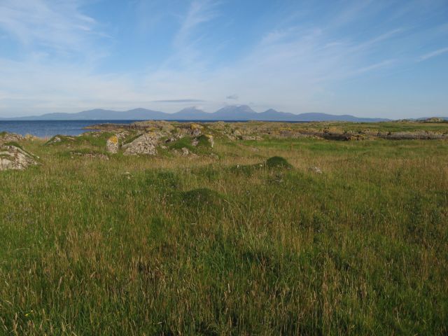
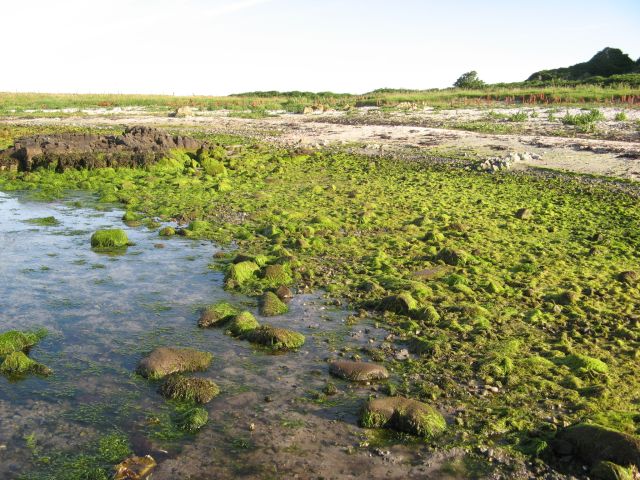
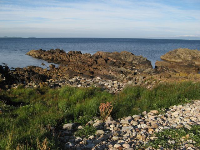
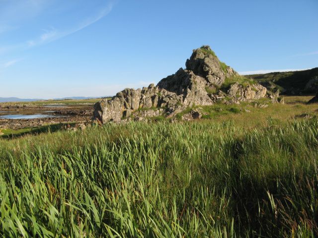
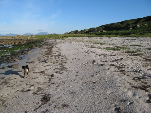
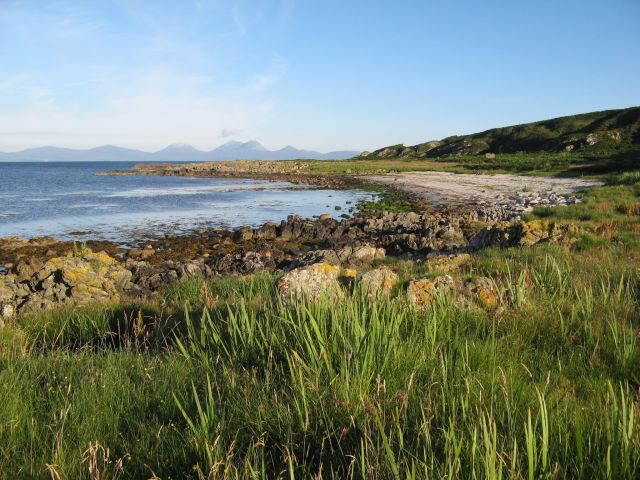
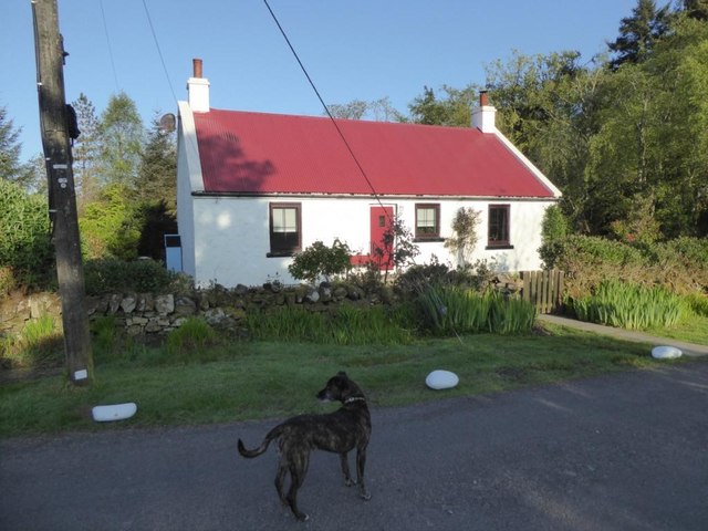
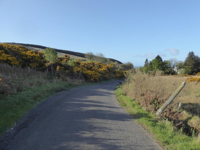
Keppoch Point Images
Images are sourced within 2km of 55.806927/-5.6670436 or Grid Reference NR7063. Thanks to Geograph Open Source API. All images are credited.
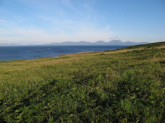
Keppoch Point is located at Grid Ref: NR7063 (Lat: 55.806927, Lng: -5.6670436)
Unitary Authority: Argyll and Bute
Police Authority: Argyll and West Dunbartonshire
What 3 Words
///clutter.undivided.option. Near Tarbert, Argyll & Bute
Nearby Locations
Related Wikis

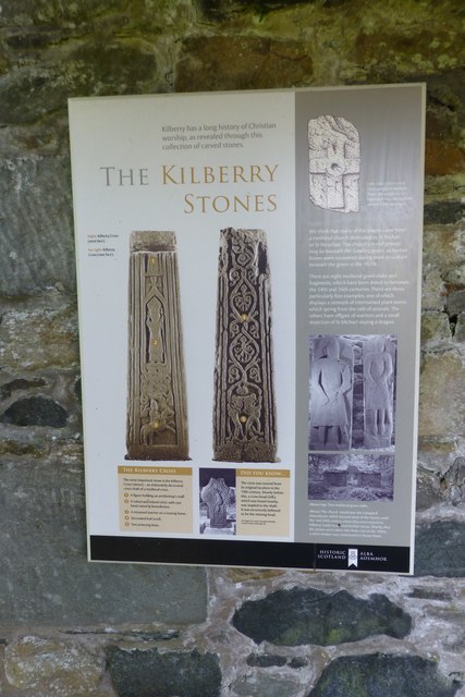
Kilberry Castle
Kilberry Castle is a Category B listed country house near Kilberry in South Knapdale in the county of Argyll, in western Scotland on the shores of the...

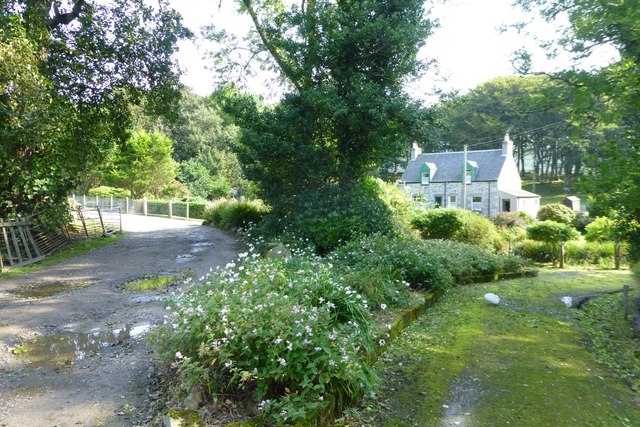
Kilberry
Kilberry (Scottish Gaelic: Cill Bheiridh) is a village in Argyll and Bute, Scotland. It is close to the western coast of the district of Knapdale. Kilberry...
Kilcalmonell
The parish of Kilcalmonell is situated in Argyll and Bute, Scotland. It extends from Clachan, in Kintyre to Kilberry, in Knapdale. == References == W....

Ardpatrick, Argyll
Ardpatrick (Scottish Gaelic: Àird Phàdraig) is a village at the southwestern extremity of the Knapdale, Argyll, Scotland. The village is built along the...
Nearby Amenities
Located within 500m of 55.806927,-5.6670436Have you been to Keppoch Point?
Leave your review of Keppoch Point below (or comments, questions and feedback).