Acairseid Fhalaich

Bay in Inverness-shire

Scotland

Acairseid Fhalaich

Slipway and harbour, Carnach Photographed from a walkway above the slipway. 
Part of the road bridge between Scalpay and Harris visible on the left.
Slipway and harbour, Carnach Credit: Richard Dorrell

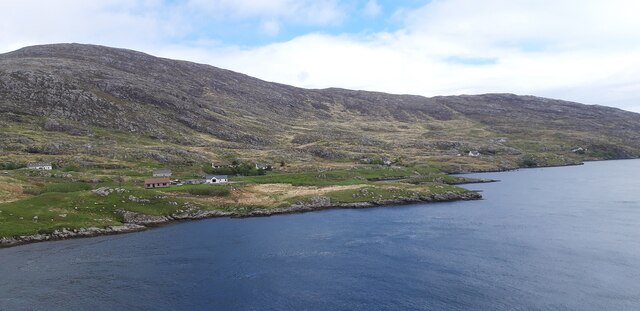
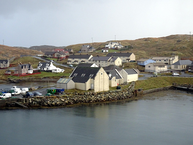
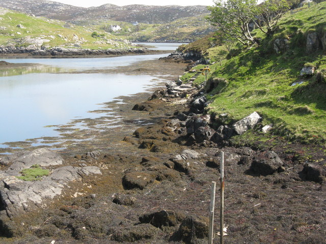
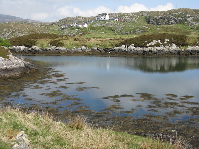
Acairseid Fhalaich, also known as Bay of Falaich, is a picturesque bay located in the county of Inverness-shire in Scotland. It is nestled on the west coast of the country, offering breathtaking views of the surrounding landscape.

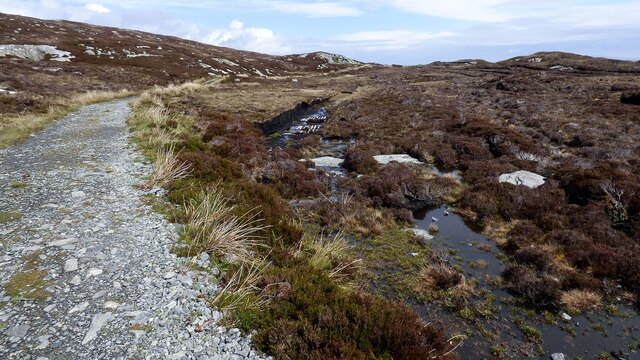
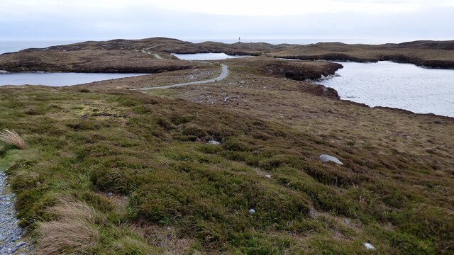
The bay is characterized by its rugged and rocky shoreline, which is interspersed with small sandy beaches. This combination of rocky outcrops and sandy patches creates a unique and diverse coastal environment, attracting a variety of wildlife and making it a popular destination for nature enthusiasts.

The bay is surrounded by rolling hills and lush greenery, adding to its natural beauty. The surrounding area is sparsely populated, with a few scattered cottages and farms dotting the landscape. This adds to the bay's peaceful and tranquil atmosphere, making it an ideal spot for those looking to escape the hustle and bustle of city life.

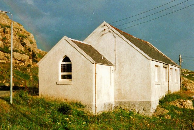
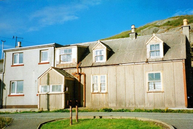
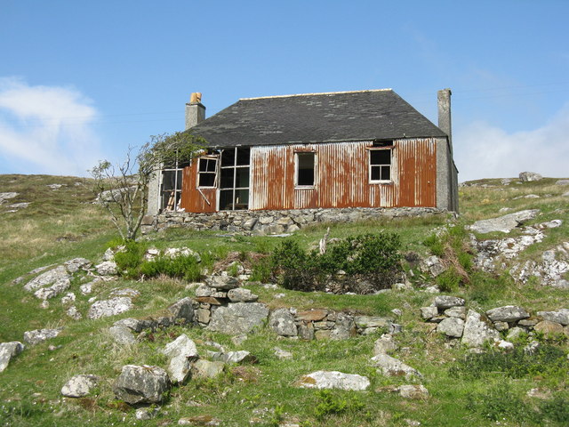
Acairseid Fhalaich is also known for its historical significance. The bay was once a thriving fishing village, with the remains of old fishing huts and boat shelters still visible along the shoreline. These remnants serve as a reminder of the area's past and its close connection to the sea.

Overall, Acairseid Fhalaich is a hidden gem in Inverness-shire, offering visitors a chance to immerse themselves in the natural beauty and tranquility of the Scottish coast. With its stunning views, diverse wildlife, and rich history, it is a destination that is sure to captivate and inspire all who visit.

If you have any feedback on the listing, please let us know in the comments section below.

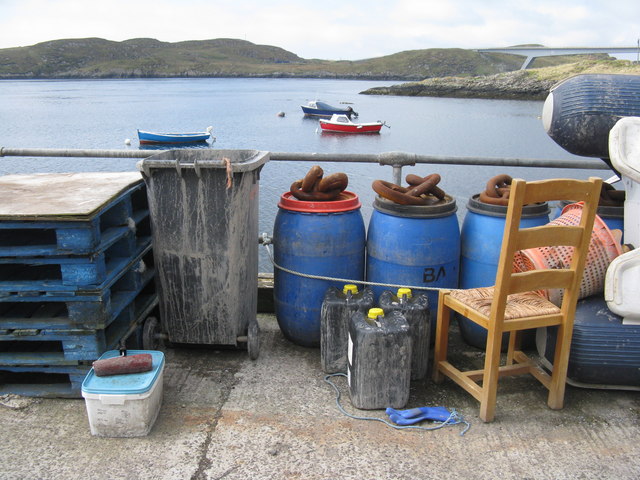
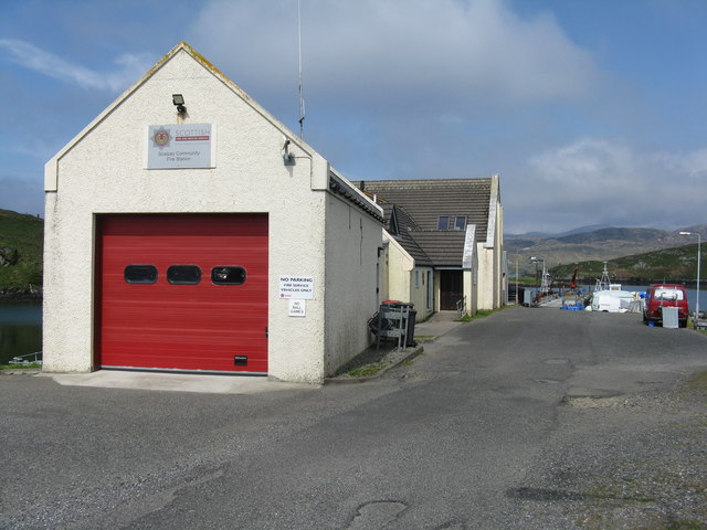
Acairseid Fhalaich Images

Images are sourced within 2km of 57.873119/-6.6674285 or Grid Reference NG2396. Thanks to Geograph Open Source API. All images are credited.

Slipway and harbour, Carnach Photographed from a walkway above the slipway. 
Part of the road bridge between Scalpay and Harris visible on the left.
Slipway and harbour, Carnach
Photographed from a walkway above the slipway. Part of the road bridge between Scalpay and Harris visible on the left.
Houses at Scalpay
Houses at Scalpay
Looking north along the Scalpay Bridge
Carnach and Sàil a' Charnain View from Scalpay Bridge.
Carnach and Sàil a' Charnain
View from Scalpay Bridge.
Track to Eilean Glas Lighthouse There is some small-scale peat cutting immediately next to the track.
Track to Eilean Glas Lighthouse
There is some small-scale peat cutting immediately next to the track.
Footpath to Eilean Glas Lighthouse The path is in good condition and a pleasure to walk on.
Footpath to Eilean Glas Lighthouse
The path is in good condition and a pleasure to walk on.
A lochan on the Heritage Trail to Scalpay Lighthouse The trail is spongy underfoot but well maintained. On the horizon left of centre you can see the Shiant Islands and that's Scalpay Lighthouse lying off the cliffs to the right.
A lochan on the Heritage Trail to Scalpay Lighthouse
The trail is spongy underfoot but well maintained. On the horizon left of centre you can see the Shiant Islands and that's Scalpay Lighthouse lying off the cliffs to the right.
You have been warned!! Now proceed to Scalpay.. I wonder how they got across before the bridge was built?
You have been warned!! Now proceed to Scalpay..
I wonder how they got across before the bridge was built?
Scalpay Church of Scotland The majority on Scalpay chose to remain in the Free Church when the United Free Church reunited with the established Church of Scotland in 1929.  As the congregation was not enough to justify maintaining a large building and a resident minister, the Church of Scotland kept this small church where services were conducted by a lay missionary, who lived with his family in the nearby <a href="https://www.geograph.org.uk/photo/4742256">NG2196 : Scalpay Mission House</a>

Shortly after this photograph was taken the bridge linking Scalpay to the mainland of Harris was completed, making it possible for the remaining Church of Scotland congregation to attend Sunday services in Tarbert and so there was no longer any need for a missionary.

This small church is now used for services by the Free Church (Continuing).  For a later view from the other side see <a href="https://www.geograph.org.uk/photo/1514144">NG2196 : Church Scalpay</a>.
Scalpay Church of Scotland
The majority on Scalpay chose to remain in the Free Church when the United Free Church reunited with the established Church of Scotland in 1929. As the congregation was not enough to justify maintaining a large building and a resident minister, the Church of Scotland kept this small church where services were conducted by a lay missionary, who lived with his family in the nearby NG2196 : Scalpay Mission House Shortly after this photograph was taken the bridge linking Scalpay to the mainland of Harris was completed, making it possible for the remaining Church of Scotland congregation to attend Sunday services in Tarbert and so there was no longer any need for a missionary. This small church is now used for services by the Free Church (Continuing). For a later view from the other side see NG2196 : Church Scalpay.
Scalpay Mission House The corrugated building was once the home of the lay missionary who served the <a href="https://www.geograph.org.uk/photo/4742254">NG2196 : Scalpay Church of Scotland</a>.  Following the opening of the Scalpay Bridge in 1997, soon after this photograph was taken, the small Church of Scotland congregation was able to travel to worship on the Harris mainland and missionaries no longer resided on the island.
Scalpay Mission House
The corrugated building was once the home of the lay missionary who served the NG2196 : Scalpay Church of Scotland. Following the opening of the Scalpay Bridge in 1997, soon after this photograph was taken, the small Church of Scotland congregation was able to travel to worship on the Harris mainland and missionaries no longer resided on the island.
Scalpay village
Scalpay village
Scalpay road bridge The west side of the bridge.
Scalpay road bridge
The west side of the bridge.
Scalpay road bridge Prior to the opening of the bridge in 1997, the link from Scalpay to the main island of Harris was an hourly ferry service which ceased running at 6.30pm.
Scalpay road bridge
Prior to the opening of the bridge in 1997, the link from Scalpay to the main island of Harris was an hourly ferry service which ceased running at 6.30pm.
House on Scalpay/Scalpaigh In need of some restoration.
House on Scalpay/Scalpaigh
In need of some restoration.
Tidy pier near Carnach Assorted 'stuff' neatly stowed on the pier. Overlooking Caolas Scalpaigh, with Scalpay/Scalpaigh and the southern pier of the bridge beyond.
Tidy pier near Carnach
Assorted 'stuff' neatly stowed on the pier. Overlooking Caolas Scalpaigh, with Scalpay/Scalpaigh and the southern pier of the bridge beyond.
Scalpay Community Fire Station At the head of the pier, with the Community Hall beyond.
Scalpay Community Fire Station
At the head of the pier, with the Community Hall beyond.
Coast at Ãird Adhanais At the end of Sraid Falkland, looking out to Bagh Ceann na Muice.
Coast at Ãird Adhanais
At the end of Sraid Falkland, looking out to Bagh Ceann na Muice.
Tidal island in Bagh Ceann na Muice Sea surrounds the island at high tide, and separates it from the two houses in the distance.
Tidal island in Bagh Ceann na Muice
Sea surrounds the island at high tide, and separates it from the two houses in the distance.
Show me another place!

Acairseid Fhalaich is located at Grid Ref: NG2396 (Lat: 57.873119, Lng: -6.6674285)

Unitary Authority: Na h-Eileanan an Iar

Police Authority: Highlands and Islands

What 3 Words

///exploring.verbs.polished. Near Tarbert, Na h-Eileanan Siar

Related Wikis

Scalpay, Outer Hebrides

Scalpay (; Scottish Gaelic: Sgalpaigh or Sgalpaigh na Hearadh; i.e. "Scalpay of Harris" to distinguish it from Scalpay off Skye) is an island in the Outer...

Eilean Glas, Scalpay

Eilean Glas is a peninsula of Scalpay in the Outer Hebrides, Scotland. Eilean Glas is home to a historic lighthouse. Eilean Glas means Grey/Green Island...

Eilean Glas Lighthouse

Eilean Glas Lighthouse is situated on the east coast of the island of Scalpay in the Outer Hebrides of Scotland. It was one of the original four lights...

Sgeotasaigh

Scotasay (Scottish Gaelic: Sgeotasaigh) is small island in the Outer Hebrides of Scotland. It lies 1 kilometre (0.6 miles) off the east coast of Harris...

Nearby Amenities

Located within 500m of 57.873119,-6.6674285
Acairseid Fhalaich
Natural: bay
Lat/Long: 57.8728992/-6.6682763
The data included in this document is from www.openstreetmap.org. The data is made available under ODbL.

Have you been to Acairseid Fhalaich?

Leave your review of Acairseid Fhalaich below (or comments, questions and feedback).