Camas na Cloiche Ruaidhe
Bay in Argyllshire
Scotland
Camas na Cloiche Ruaidhe
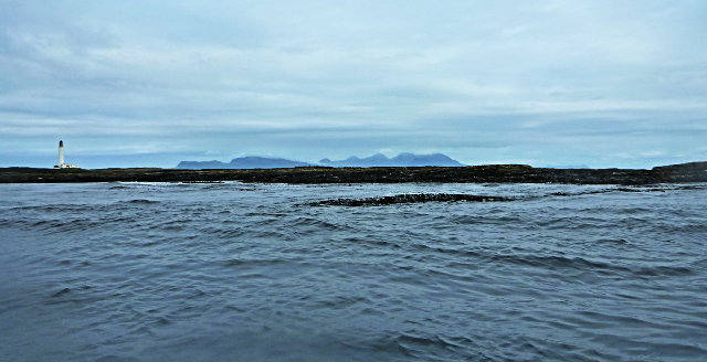
Camas na Cloiche Ruaidhe, located in Argyllshire, Scotland, is a picturesque bay that offers stunning natural beauty and a tranquil atmosphere. Situated on the west coast of Scotland, this bay is known for its rugged coastline and crystal-clear turquoise waters.
The bay is surrounded by rolling hills and lush greenery, creating a breathtaking backdrop for visitors. The area is rich in wildlife, with a variety of seabirds and marine life thriving in the bay. Visitors can often spot seals lounging on the rocks or dolphins gracefully swimming in the bay.
Camas na Cloiche Ruaidhe is an idyllic spot for outdoor enthusiasts, with numerous activities to enjoy. The bay provides excellent opportunities for kayaking, sailing, and fishing. The calm waters make it an ideal spot for beginners to try their hand at water sports.
Nature lovers will also appreciate the scenic walking trails that wind through the surrounding hills, offering panoramic views of the bay and its surroundings. The bay is also home to a diverse range of plant species, including colorful wildflowers that dot the landscape.
For those seeking a peaceful retreat, Camas na Cloiche Ruaidhe offers a sense of seclusion and tranquility. The absence of large crowds and commercial development allows visitors to truly immerse themselves in the natural beauty of the bay.
In summary, Camas na Cloiche Ruaidhe in Argyllshire, Scotland, is a stunning bay that showcases the best of Scotland's natural beauty. With its rugged coastline, clear waters, and abundant wildlife, it is a haven for outdoor enthusiasts and nature lovers alike.
If you have any feedback on the listing, please let us know in the comments section below.
Camas na Cloiche Ruaidhe Images
Images are sourced within 2km of 56.971594/-6.6811253 or Grid Reference NM1596. Thanks to Geograph Open Source API. All images are credited.


Camas na Cloiche Ruaidhe is located at Grid Ref: NM1596 (Lat: 56.971594, Lng: -6.6811253)
Unitary Authority: Highland
Police Authority: Highlands and Islands
What 3 Words
///chefs.wooden.guesswork. Near Arinagour, Argyll & Bute
Nearby Locations
Related Wikis
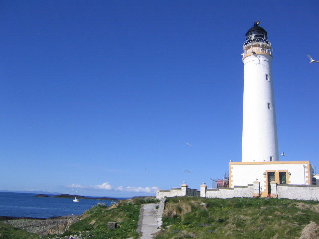
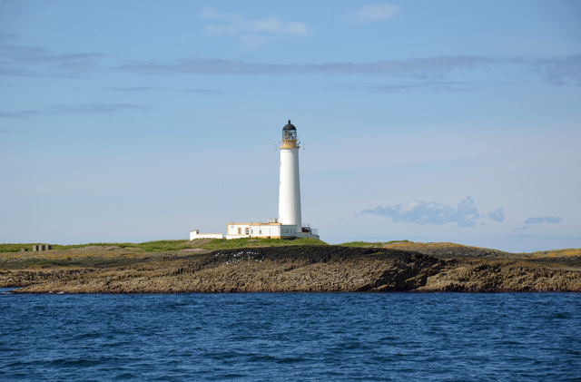
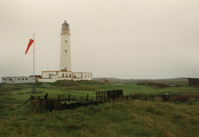
Hyskeir Lighthouse
Hyskeir Lighthouse was established in 1904. The 39 metres (128 ft) metre high lighthouse marks the southern end of the Minch, warning of the presence of...

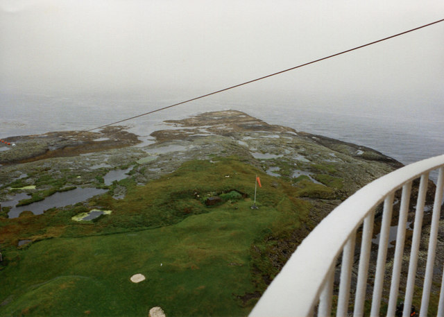
Hyskeir
Hyskeir (Scottish Gaelic: Òigh-sgeir) or Heyskeir is a low-lying rocky islet (a skerry) in the Inner Hebrides, Scotland. The Hyskeir Lighthouse marks the...
Garbh Sgeir
Garbh Sgeir (Gaelic: 'rough skerry') is a rock about 100 metres west of the islet Òigh-sgeir, in the Small Isles, Lochaber, Scotland. There is an anchorage...
Nearby Amenities
Located within 500m of 56.971594,-6.6811253Have you been to Camas na Cloiche Ruaidhe?
Leave your review of Camas na Cloiche Ruaidhe below (or comments, questions and feedback).