Deep Gill Force

Waterfall in Yorkshire Richmondshire

England

Deep Gill Force

Witton Fell Taken by the River Ure, this looks south west to Witton Fell. The summit is now well smothered by a plantation - for me, though it marks the entrance of Wensleydale proper.
Witton Fell Credit: Chris Heaton

Deep Gill Force is a stunning waterfall located in the Yorkshire Dales National Park in North Yorkshire, England. This natural wonder is a popular attraction for nature enthusiasts and hikers, offering a picturesque setting and a tranquil atmosphere.

The waterfall is situated in a secluded valley, surrounded by lush greenery and towering cliffs, which adds to its charm and beauty. It is fed by the Deep Gill Beck, a small stream that cascades down a series of rocky ledges, resulting in a series of breathtaking waterfalls. The main drop of the waterfall is approximately 30 feet, creating a powerful and mesmerizing display of cascading water.

Access to Deep Gill Force is relatively easy, with a well-maintained footpath leading visitors through the enchanting woodland. Along the way, hikers can enjoy the sights and sounds of the surrounding nature, including diverse flora and fauna. The path also offers several viewpoints that allow visitors to appreciate the waterfall from different angles, capturing its raw magnificence.

The waterfall is particularly impressive after heavy rainfall when the water flow is at its peak, creating a thunderous sound and a dramatic spectacle. However, even during drier periods, Deep Gill Force remains a captivating sight and a peaceful retreat away from the hustle and bustle of everyday life.

Overall, Deep Gill Force is a must-visit destination for those seeking natural beauty and serenity. Its idyllic setting, combined with the powerful display of cascading water, makes it a truly unforgettable experience for visitors of all ages.

If you have any feedback on the listing, please let us know in the comments section below.

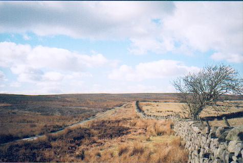
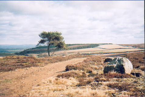
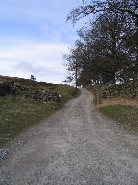
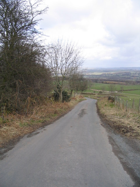
Deep Gill Force Images

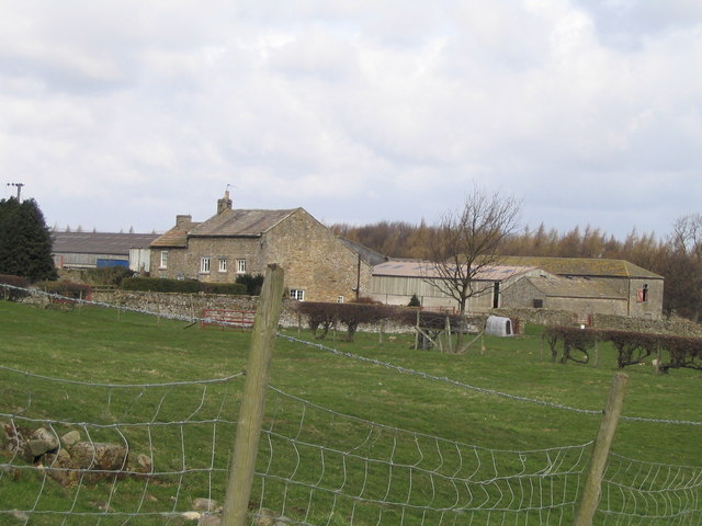
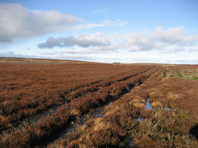
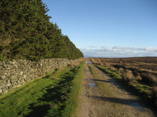
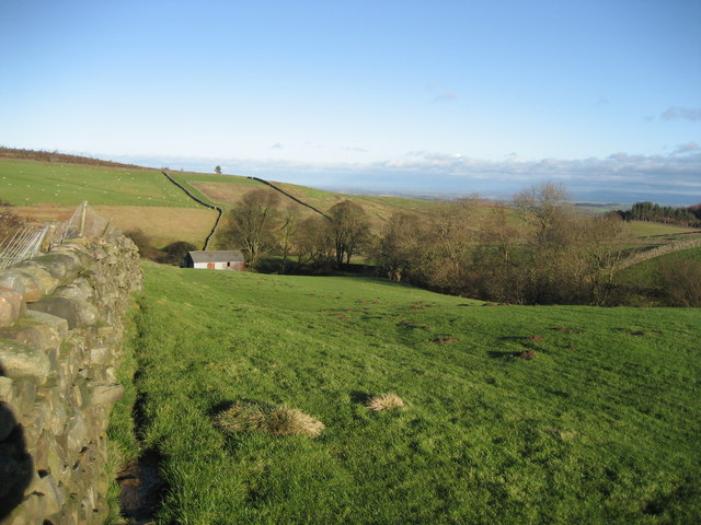
Images are sourced within 2km of 54.256222/-1.7733439 or Grid Reference SE1484. Thanks to Geograph Open Source API. All images are credited.

Witton Fell Taken by the River Ure, this looks south west to Witton Fell. The summit is now well smothered by a plantation - for me, though it marks the entrance of Wensleydale proper.
Witton Fell
Taken by the River Ure, this looks south west to Witton Fell. The summit is now well smothered by a plantation - for me, though it marks the entrance of Wensleydale proper.
Track over Witton Moor Much of Witton Moor is now open access land, with this track being the best approach.
Track over Witton Moor
Much of Witton Moor is now open access land, with this track being the best approach.
Lonesome Pine, Witton Fell A lonely Scots pine by the shooting track across Witton Fell.
Lonesome Pine, Witton Fell
A lonely Scots pine by the shooting track across Witton Fell.
Track to Witton Moor
Road between Ellingstring and Jervaulx Looking downhill just before High Newstead
Road between Ellingstring and Jervaulx
Looking downhill just before High Newstead
Low Newstead Farm
Low Newstead Farm
East Witton View of south side of village green
East Witton
View of south side of village green
East Witton,  The Church of St John The Evangelist This Church is on the southern boundary of the O/S grid it occupies, slightly to the east of centre.
East Witton, The Church of St John The Evangelist
This Church is on the southern boundary of the O/S grid it occupies, slightly to the east of centre.
Entering East Witton The Parish Church of East Witton, seen in the background, is dedicated to St. John the Evangelist. It took three years to build, from 1809 to 1812, at the sole expense of Thomas, Earl of Ailesbury, then Lord of the Manor, to celebrate the 50th year of the reign of King George III.
Entering East Witton
The Parish Church of East Witton, seen in the background, is dedicated to St. John the Evangelist. It took three years to build, from 1809 to 1812, at the sole expense of Thomas, Earl of Ailesbury, then Lord of the Manor, to celebrate the 50th year of the reign of King George III.
Between East Witton And Abbey Hill Seen from the A6108 in Coverdale.
Between East Witton And Abbey Hill
Seen from the A6108 in Coverdale.
Waterloo Farm A folded field and a barn beside the A6108.
Waterloo Farm
A folded field and a barn beside the A6108.
Storm Damage A fallen tree in a field beside the A6108 between East Witton and Abbey Hill.
Storm Damage
A fallen tree in a field beside the A6108 between East Witton and Abbey Hill.
East Witton The attractive village of East Witton is built around a long green and is an example of early 19th century planning.
East Witton
The attractive village of East Witton is built around a long green and is an example of early 19th century planning.
Tranmire Isolated farmstead surrounded by enclosed pastures, which are themselves surrounded by moorland - like an island
Tranmire
Isolated farmstead surrounded by enclosed pastures, which are themselves surrounded by moorland - like an island
Track over Agra Moor Part of the way that leads from Colsterdale to East Witton in Wensleydale - at this point on windswept Agra Moor
Track over Agra Moor
Part of the way that leads from Colsterdale to East Witton in Wensleydale - at this point on windswept Agra Moor
Track beside East Belt Plantation Shows this substantial track running east between the plantation and Witton Moor
Track beside East Belt Plantation
Shows this substantial track running east between the plantation and Witton Moor
Grey Yaud Plantation This is the south eastern corner of a large block of plantation that seem to be a popular feature of this locality
Grey Yaud Plantation
This is the south eastern corner of a large block of plantation that seem to be a popular feature of this locality
Field south of Sowden Beck Farm The farm itself is concealed tightly in the valley of the beck, and only one of the outer buildings is visible from this part of the field
Field south of Sowden Beck Farm
The farm itself is concealed tightly in the valley of the beck, and only one of the outer buildings is visible from this part of the field
Show me another place!

Deep Gill Force is located at Grid Ref: SE1484 (Lat: 54.256222, Lng: -1.7733439)

Division: North Riding

Administrative County: North Yorkshire

District: Richmondshire

Police Authority: North Yorkshire

What 3 Words

///unloads.household.router. Near Leyburn, North Yorkshire

Related Wikis

East Witton

East Witton is a village and civil parish in Wensleydale in North Yorkshire, England. It lies south of Leyburn, in the Richmondshire district. Richard...

River Cover

The River Cover is a river in the Yorkshire Dales in North Yorkshire, England. The Yorkshire Dales Rivers Trust has a remit to conserve the ecological...
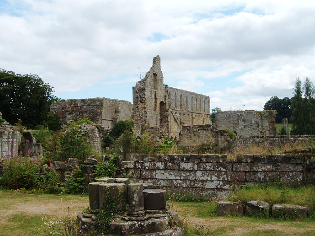
Jervaulx Abbey

Jervaulx Abbey in East Witton in North Yorkshire, 14 mi (23 km) north-west of the city of Ripon, was one of the great Cistercian abbeys of Yorkshire, England...
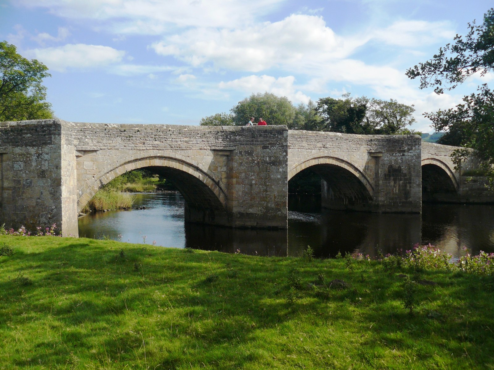
Ulshaw Bridge

Ulshaw Bridge is a hamlet on the River Ure, near to Middleham, in North Yorkshire, England. The hamlet derives its name partly from the Medieval stone...

Nearby Amenities

Located within 500m of 54.256222,-1.7733439
Material: wood
Power: pole
Lat/Long: 54.2569497/-1.7662395
Material: wood
Power: pole
Lat/Long: 54.2566325/-1.7675824
Material: wood
Power: pole
Lat/Long: 54.2562374/-1.76927
Power: pole
Lat/Long: 54.2560835/-1.7699691
Power: pole
Lat/Long: 54.2557777/-1.7712633
Power: pole
Lat/Long: 54.255413/-1.7728306
Power: pole
Lat/Long: 54.2550521/-1.7744304
Power: pole
Lat/Long: 54.2542011/-1.7778186
Power: pole
Lat/Long: 54.2556543/-1.7802997
Power: pole
Lat/Long: 54.2561006/-1.7792624
Power: pole
Lat/Long: 54.2564748/-1.7783844
Power: pole
Lat/Long: 54.2567978/-1.7776268
Power: pole
Lat/Long: 54.2576354/-1.7783227
Power: pole
Lat/Long: 54.2583439/-1.7789535
Power: pole
Lat/Long: 54.2556533/-1.7759343
The data included in this document is from www.openstreetmap.org. The data is made available under ODbL.

Have you been to Deep Gill Force?

Leave your review of Deep Gill Force below (or comments, questions and feedback).