Clay Bank Plantation

Wood, Forest in Yorkshire Richmondshire

England

Clay Bank Plantation

Witton Fell Taken by the River Ure, this looks south west to Witton Fell. The summit is now well smothered by a plantation - for me, though it marks the entrance of Wensleydale proper.
Witton Fell Credit: Chris Heaton

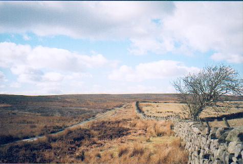
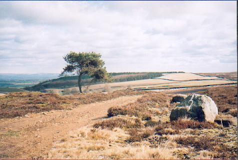
Clay Bank Plantation is a charming woodland area located in Yorkshire, England. Nestled within the picturesque North York Moors National Park, this plantation is a haven for nature enthusiasts and outdoor enthusiasts alike.

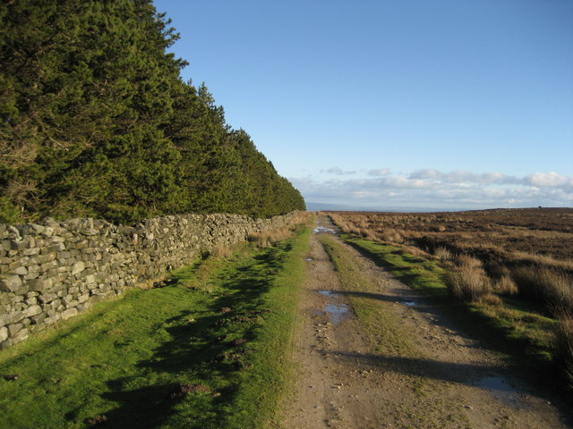
The woodland of Clay Bank Plantation is characterized by its dense and diverse tree cover. Towering oak, beech, and birch trees dominate the landscape, creating a serene and tranquil atmosphere. The forest floor is blanketed with a rich layer of moss, ferns, and wildflowers, adding to the beauty and biodiversity of the area.

Visitors to Clay Bank Plantation can enjoy a range of activities, from leisurely strolls along the well-maintained paths to more adventurous hikes through the rugged terrain. The plantation is crisscrossed with numerous trails, offering opportunities for exploration and discovery. Wildlife enthusiasts can spot various species of birds, such as woodpeckers and owls, as well as mammals like deer and foxes.

For those seeking a bit of history, Clay Bank Plantation also boasts remnants of its past. The site was once home to a clay quarry, and visitors can still see the remnants of the clay pits and small kilns used for brickmaking. These historical features provide a glimpse into the industrial heritage of the area.

Overall, Clay Bank Plantation is a peaceful and enchanting woodland destination that offers a tranquil escape from the hustle and bustle of everyday life. Whether you are a nature lover, history enthusiast, or simply seeking a quiet retreat, this plantation in Yorkshire is sure to leave a lasting impression.

If you have any feedback on the listing, please let us know in the comments section below.

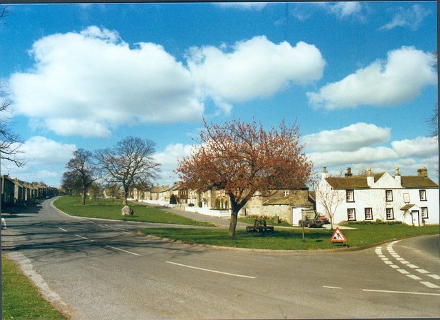
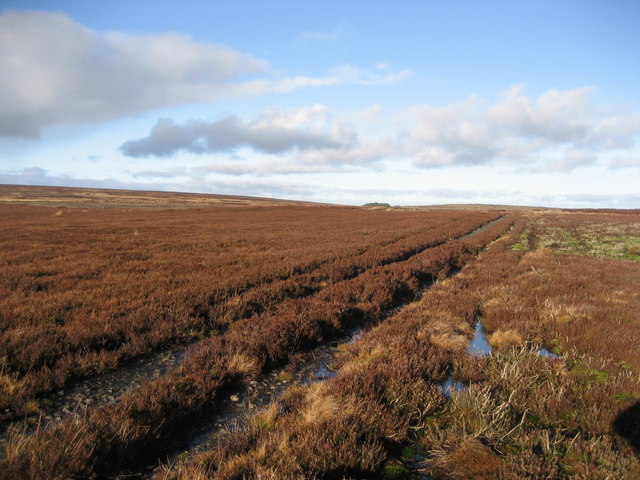
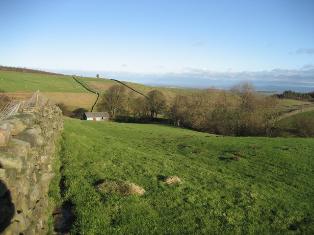
Clay Bank Plantation Images

Images are sourced within 2km of 54.258027/-1.7822218 or Grid Reference SE1484. Thanks to Geograph Open Source API. All images are credited.

Witton Fell Taken by the River Ure, this looks south west to Witton Fell. The summit is now well smothered by a plantation - for me, though it marks the entrance of Wensleydale proper.
Witton Fell
Taken by the River Ure, this looks south west to Witton Fell. The summit is now well smothered by a plantation - for me, though it marks the entrance of Wensleydale proper.
Track over Witton Moor Much of Witton Moor is now open access land, with this track being the best approach.
Track over Witton Moor
Much of Witton Moor is now open access land, with this track being the best approach.
Lonesome Pine, Witton Fell A lonely Scots pine by the shooting track across Witton Fell.
Lonesome Pine, Witton Fell
A lonely Scots pine by the shooting track across Witton Fell.
East Witton View of south side of village green
East Witton
View of south side of village green
Barn Footpath between East Witton and Cover bridge diverts around the barn
Barn
Footpath between East Witton and Cover bridge diverts around the barn
East Witton,  The Church of St John The Evangelist This Church is on the southern boundary of the O/S grid it occupies, slightly to the east of centre.
East Witton, The Church of St John The Evangelist
This Church is on the southern boundary of the O/S grid it occupies, slightly to the east of centre.
The Road To Coverham From East Witton.
The Road To Coverham
From East Witton.
Entering East Witton The Parish Church of East Witton, seen in the background, is dedicated to St. John the Evangelist. It took three years to build, from 1809 to 1812, at the sole expense of Thomas, Earl of Ailesbury, then Lord of the Manor, to celebrate the 50th year of the reign of King George III.
Entering East Witton
The Parish Church of East Witton, seen in the background, is dedicated to St. John the Evangelist. It took three years to build, from 1809 to 1812, at the sole expense of Thomas, Earl of Ailesbury, then Lord of the Manor, to celebrate the 50th year of the reign of King George III.
Sheltering Sheep Since it was neither hot nor wet, it is not clear from what the sheep were trying to shelter under an almost leafless  tree.
Sheltering Sheep
Since it was neither hot nor wet, it is not clear from what the sheep were trying to shelter under an almost leafless tree.
Lower Coverdale Between Coverham and East Witton.
Lower Coverdale
Between Coverham and East Witton.
Between East Witton And Abbey Hill Seen from the A6108 in Coverdale.
Between East Witton And Abbey Hill
Seen from the A6108 in Coverdale.
Waterloo Farm A folded field and a barn beside the A6108.
Waterloo Farm
A folded field and a barn beside the A6108.
Storm Damage A fallen tree in a field beside the A6108 between East Witton and Abbey Hill.
Storm Damage
A fallen tree in a field beside the A6108 between East Witton and Abbey Hill.
East Witton The attractive village of East Witton is built around a long green and is an example of early 19th century planning.
East Witton
The attractive village of East Witton is built around a long green and is an example of early 19th century planning.
Track over Agra Moor Part of the way that leads from Colsterdale to East Witton in Wensleydale - at this point on windswept Agra Moor
Track over Agra Moor
Part of the way that leads from Colsterdale to East Witton in Wensleydale - at this point on windswept Agra Moor
Track beside East Belt Plantation Shows this substantial track running east between the plantation and Witton Moor
Track beside East Belt Plantation
Shows this substantial track running east between the plantation and Witton Moor
Grey Yaud Plantation This is the south eastern corner of a large block of plantation that seem to be a popular feature of this locality
Grey Yaud Plantation
This is the south eastern corner of a large block of plantation that seem to be a popular feature of this locality
Field south of Sowden Beck Farm The farm itself is concealed tightly in the valley of the beck, and only one of the outer buildings is visible from this part of the field
Field south of Sowden Beck Farm
The farm itself is concealed tightly in the valley of the beck, and only one of the outer buildings is visible from this part of the field
Show me another place!

Clay Bank Plantation is located at Grid Ref: SE1484 (Lat: 54.258027, Lng: -1.7822218)

Division: North Riding

Administrative County: North Yorkshire

District: Richmondshire

Police Authority: North Yorkshire

What 3 Words

///help.scramble.orbited. Near Leyburn, North Yorkshire

Related Wikis

East Witton

East Witton is a village and civil parish in Wensleydale in North Yorkshire, England. It lies south of Leyburn, in the Richmondshire district. Richard...

River Cover

The River Cover is a river in the Yorkshire Dales in North Yorkshire, England. The Yorkshire Dales Rivers Trust has a remit to conserve the ecological...
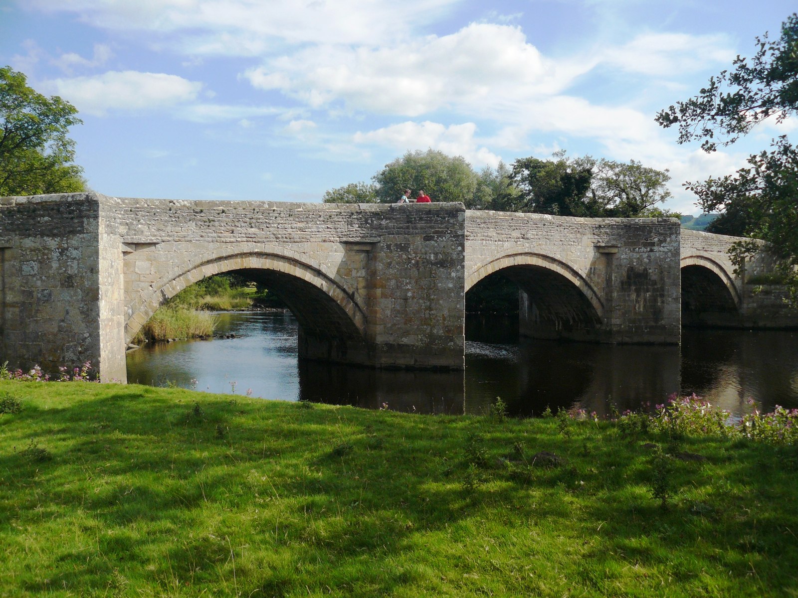
Ulshaw Bridge

Ulshaw Bridge is a hamlet on the River Ure, near to Middleham, in North Yorkshire, England. The hamlet derives its name partly from the Medieval stone...
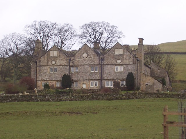
Braithwaite Hall

Braithwaite Hall is a 17th-century manor house in Coverdale in the Yorkshire Dales in England. It lies 1.8 miles (2.9 km) west of the village of East...
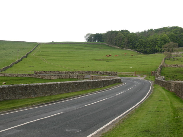
A6108 road

The A6108 road is an A road in North Yorkshire, England. It runs from the south of Scotch Corner to Ripon going via Richmond and Leyburn across the moors...
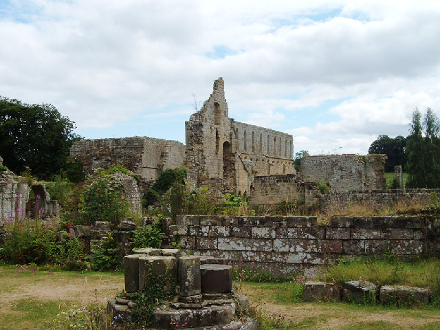
Jervaulx Abbey

Jervaulx Abbey in East Witton in North Yorkshire, 14 mi (23 km) north-west of the city of Ripon, was one of the great Cistercian abbeys of Yorkshire, England...

Middleham Castle

Middleham Castle is a ruined castle in Middleham in Wensleydale, in the county of North Yorkshire, England. It was built by Robert Fitzrandolph, 3rd Lord...

Middleham

Middleham is a market town and civil parish in the district and county of North Yorkshire, England. It lies in Wensleydale in the Yorkshire Dales, on...

Nearby Amenities

Located within 500m of 54.258027,-1.7822218
Ford: yes
Lat/Long: 54.2539955/-1.784202
The data included in this document is from www.openstreetmap.org. The data is made available under ODbL.

Have you been to Clay Bank Plantation?

Leave your review of Clay Bank Plantation below (or comments, questions and feedback).