Aysgarth Falls
Waterfall in Yorkshire Richmondshire
England
Aysgarth Falls
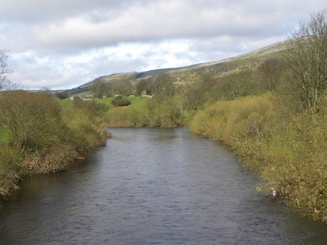
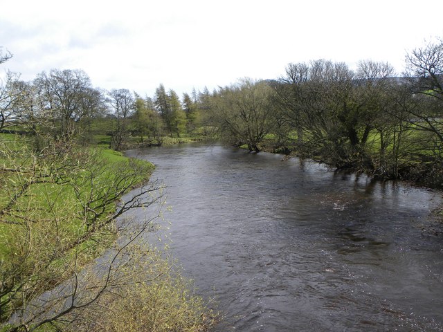
Aysgarth Falls is a renowned waterfall located in the Yorkshire Dales National Park, England. Situated on the River Ure, it is one of the most popular natural attractions in the region. The falls are split into three tiers, Upper, Middle, and Lower, each offering its own unique spectacle.
The Upper Falls, the highest of the three, cascade down a series of limestone steps. The water plunges over the rocks, creating a mesmerizing sight and a soothing sound. A wooden bridge allows visitors to admire the falls from a close vantage point, providing an incredible view of the rushing water.
Continuing downstream, the Middle Falls captivate with their dramatic drop. The water tumbles over a 6-meter (20-foot) limestone ledge, creating a spectacular display of power and beauty. This section of the falls is particularly popular for photographers, as it offers a striking composition of water, rocks, and surrounding greenery.
The Lower Falls, the final tier of the waterfall, are equally impressive. Here, the River Ure widens, and the water courses through a series of smaller cascades. Surrounded by lush vegetation, this area provides a tranquil setting for visitors to relax and enjoy the natural wonders of the falls.
Aysgarth Falls is not only a breathtaking natural marvel but also holds historical significance. It gained recognition after being featured in the 1991 film "Robin Hood: Prince of Thieves." The falls attract tourists and nature enthusiasts from all over the world who come to marvel at its beauty and immerse themselves in the tranquility of this picturesque location.
If you have any feedback on the listing, please let us know in the comments section below.
Aysgarth Falls Images
Images are sourced within 2km of 54.293559/-1.981253 or Grid Reference SE0188. Thanks to Geograph Open Source API. All images are credited.


Aysgarth Falls is located at Grid Ref: SE0188 (Lat: 54.293559, Lng: -1.981253)
Division: North Riding
Administrative County: North Yorkshire
District: Richmondshire
Police Authority: North Yorkshire
What 3 Words
///flickers.blend.desire. Near Leyburn, North Yorkshire
Nearby Locations
Related Wikis

Aysgarth Falls
Aysgarth Falls are a triple flight of waterfalls, surrounded by woodland and farmland, carved out by the River Ure over an almost one-mile (two-kilometre...

St Andrew's Church, Aysgarth
St Andrew's Church, Aysgarth, is a Grade II* listed parish church in the Church of England: 66 in Aysgarth, North Yorkshire. It is located on the south...
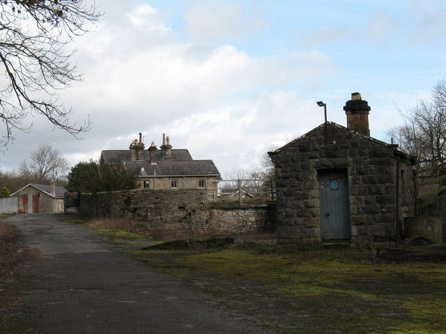
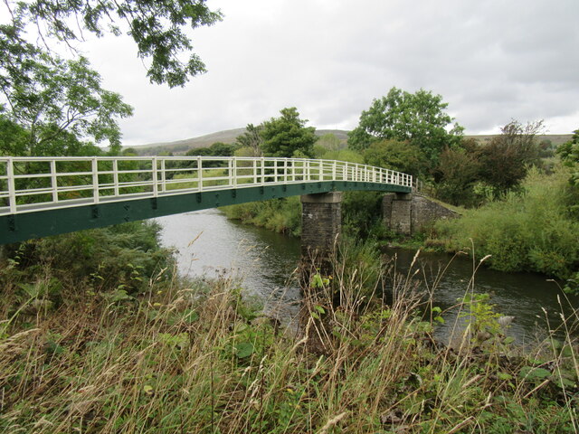
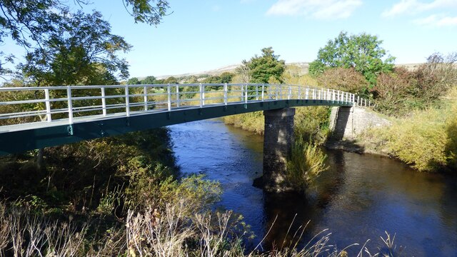
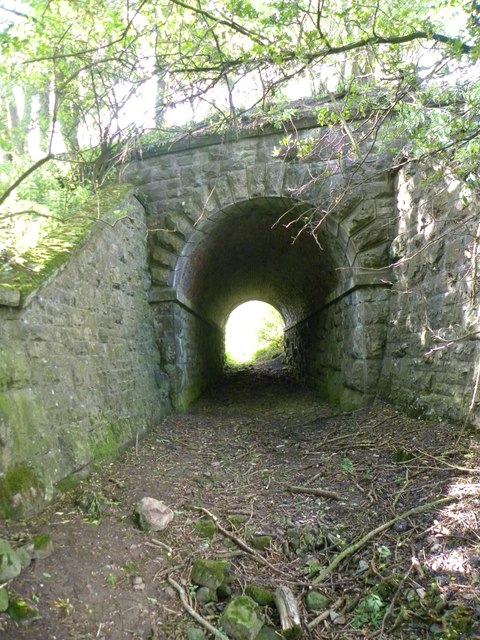
Aysgarth railway station
Aysgarth railway station is a disused railway station in North Yorkshire, England, near Aysgarth Falls. It was part of the Hawes Branch of the North Eastern...

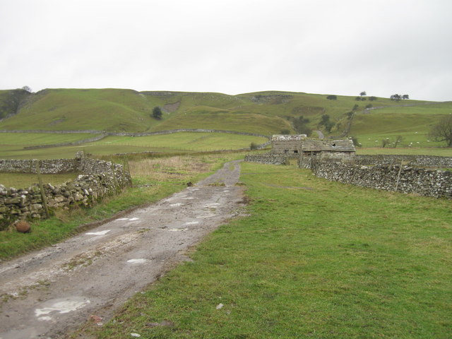
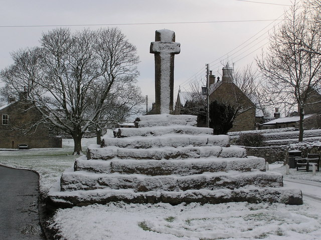
Aysgarth
Aysgarth is a village and civil parish in Wensleydale, in North Yorkshire, England. The village is in the Yorkshire Dales National Park, about 16 miles...
Carperby
Carperby is a village in the Yorkshire Dales, North Yorkshire, England. It lies 7 miles (11 km) west of Leyburn. == Etymology == The derivation of the...

Carperby-cum-Thoresby
Carperby-cum-Thoresby is a civil parish in the Richmondshire district of North Yorkshire, England. The parish contains the village of Carperby and the...

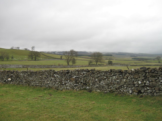
Bishopdale Beck
Bishopdale Beck is a major tributary of the River Ure in North Yorkshire, England. The beck flows down Bishopdale, a side valley of Wensleydale in the...

West Burton, North Yorkshire
West Burton is a village in Bishopdale, a side valley of Wensleydale, in the Yorkshire Dales, North Yorkshire, England. It lies 6.2 miles (10 km) south...
Nearby Amenities
Located within 500m of 54.293559,-1.981253Have you been to Aysgarth Falls?
Leave your review of Aysgarth Falls below (or comments, questions and feedback).