Cat Leap

Waterfall in Yorkshire Richmondshire

England

Cat Leap

River Ure near Woodhall Looking upstream.
River Ure near Woodhall Credit: T Eyre

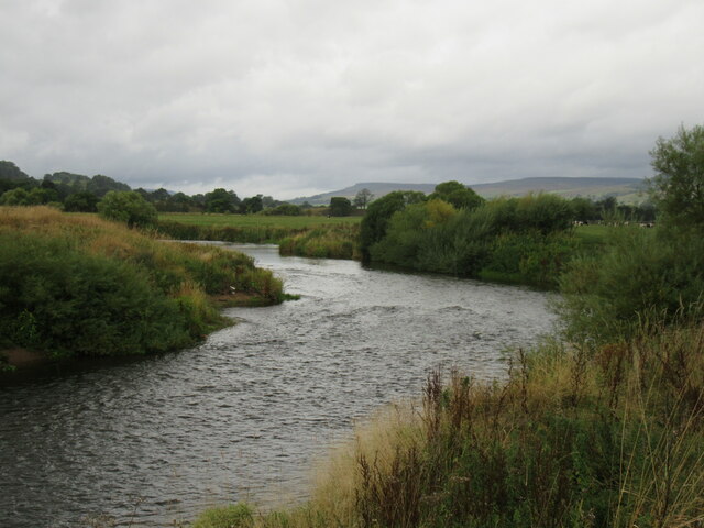
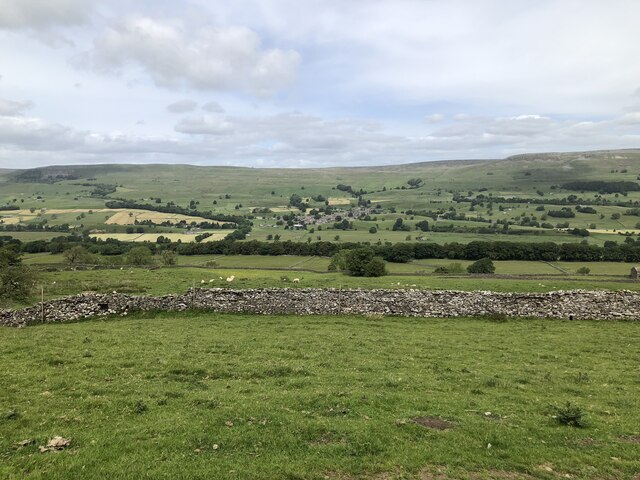
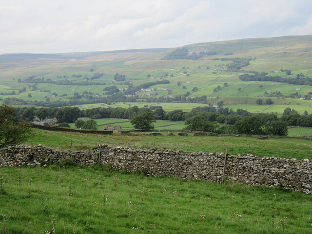
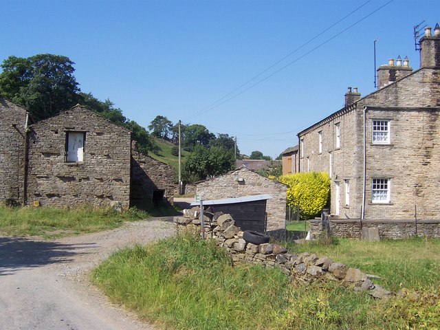
Cat Leap is a picturesque waterfall located in the Yorkshire Dales National Park, England. Situated near the village of Kettlewell, it is a popular destination for nature lovers and hikers alike. The waterfall is formed by the convergence of two streams, creating a cascading effect that is truly breathtaking.

The name "Cat Leap" originates from the local folklore, which tells the story of a cat that miraculously jumped across the waterfall to escape danger. This adds an enchanting touch to the natural beauty of the site.

The waterfall itself is approximately 15 meters in height, making it an impressive sight to behold. The water flows down a series of rocky ledges, creating a mesmerizing display of power and grace. Visitors can witness the water crashing into the pool below, creating a misty and refreshing atmosphere.

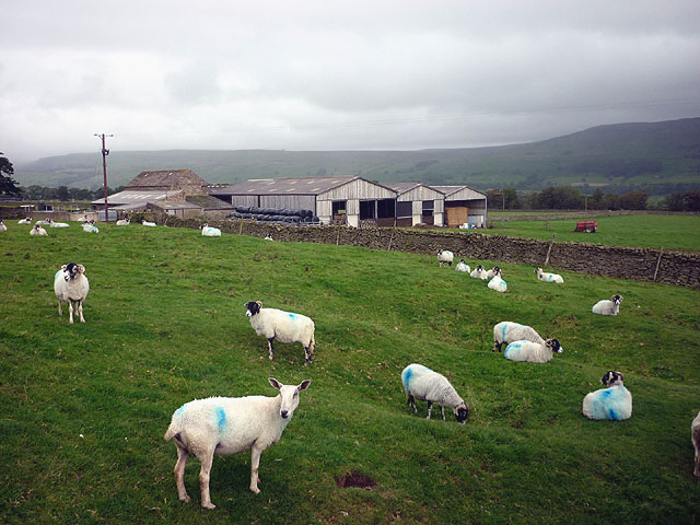
Surrounded by lush greenery and towering trees, Cat Leap offers a serene and tranquil environment. The area is rich in wildlife, with various species of birds and small mammals often spotted in the vicinity. It is not uncommon to see hikers and photographers capturing the beauty of the waterfall and its natural surroundings.

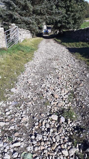
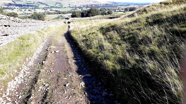
Access to Cat Leap is relatively easy, with a well-maintained footpath leading to the site. There are also nearby parking facilities available for visitors. Many choose to combine a visit to Cat Leap with a longer hike, as there are several other attractions in the area, including scenic trails and viewpoints.

Overall, Cat Leap is a hidden gem in Yorkshire, offering visitors a chance to connect with nature and witness the awe-inspiring power of water in motion.

If you have any feedback on the listing, please let us know in the comments section below.

Cat Leap Images

Images are sourced within 2km of 54.313882/-2.0628181 or Grid Reference SD9690. Thanks to Geograph Open Source API. All images are credited.

River Ure near Woodhall Looking upstream.
River Ure near Woodhall
Looking upstream.
Bridleway approaching Cubeck from SW
Bridleway from Worton Pasture towards Cubeck
Wensleydale View of Wensleydale from lower slopes of Addlebrough. The treeline in the middle distance is Worton Scar, and the small town of Askrigg can be seen in the centre of the image.
Wensleydale
View of Wensleydale from lower slopes of Addlebrough. The treeline in the middle distance is Worton Scar, and the small town of Askrigg can be seen in the centre of the image.
Near Cubeck Looking across Wensleydale near Cubeck.
Near Cubeck
Looking across Wensleydale near Cubeck.
Cow at Scar Top
Cow at Scar Top
Sheep at Scar Top Almost all Swaledales except the Blue Faced Leicester at the front.
Sheep at Scar Top
Almost all Swaledales except the Blue Faced Leicester at the front.
Right hand bend near Craike Sike Gutter A684 eastbound, west of Worton
Right hand bend near Craike Sike Gutter
A684 eastbound, west of Worton
The Victoria Arms, Worton
The Victoria Arms, Worton The bar in this Dales pub.
The Victoria Arms, Worton
The bar in this Dales pub.
Dry stone walls Dividing grazing fields near Worton.
Dry stone walls
Dividing grazing fields near Worton.
Noble House farm In the hamlet of Cubeck.
Noble House farm
In the hamlet of Cubeck.
Road above Thornton Scar Taken from near Thornton Lodge looking north-west.
Road above Thornton Scar
Taken from near Thornton Lodge looking north-west.
Road above Worton Scar Looking west towards Cubeck.
Road above Worton Scar
Looking west towards Cubeck.
Show me another place!

Cat Leap is located at Grid Ref: SD9690 (Lat: 54.313882, Lng: -2.0628181)

Division: North Riding

Administrative County: North Yorkshire

District: Richmondshire

Police Authority: North Yorkshire

What 3 Words

///rankings.belief.ultra. Near Leyburn, North Yorkshire

Related Wikis

Nappa Hall

Nappa Hall is a fortified manor house in Wensleydale, North Yorkshire, England, described by English Heritage as "probably the finest and least-spoilt...

Newbiggin, Askrigg

Newbiggin is a hamlet very close to Askrigg, North Yorkshire, England. Another Newbiggin is only about 7 miles (11 km) away. The hamlet consists of eight...

Worton, North Yorkshire

Worton is a hamlet in Wensleydale in the Yorkshire Dales in the Richmondshire district of North Yorkshire, England. It lies 1-mile (1.6 km) east of Bainbridge...
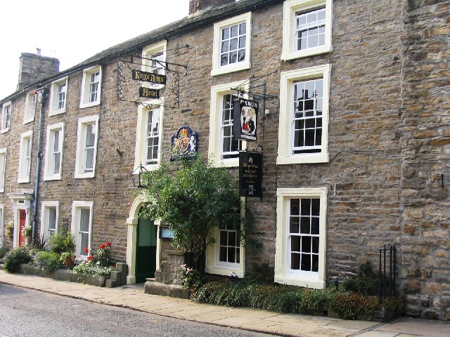
Kings Arms Hotel

The Kings Arms Hotel is a public house and inn in the English village of Askrigg, North Yorkshire. A Grade II listed building, standing on the northern...

Cringley House

Cringley House (also known as Skeldale House) is an historic building in the English village of Askrigg, North Yorkshire. Standing on the south side of...

Askrigg

Askrigg is a small village and civil parish in Wensleydale in the Yorkshire Dales National Park. It was formerly a part of the Richmondshire district of...

St Oswald's Church, Askrigg

St Oswald's Church is a Grade I listed parish church in the Church of England in Askrigg, North Yorkshire. == History == The church dates largely from...

Cubeck

Cubeck is a hamlet in the Richmondshire district of North Yorkshire, England. It is near Thornton Rust and Worton. == External links == Media related...

Nearby Amenities

Located within 500m of 54.313882,-2.0628181
Source: OS_OpenData_Streetview
Waterway: waterfall
Lat/Long: 54.3139811/-2.0629406
Barrier: stile
Material: stone
Source: survey;gps
Stile: stepover
Lat/Long: 54.3108792/-2.0618476
Power: pole
Source: Bing
Lat/Long: 54.3117981/-2.060269
Power: pole
Source: Bing
Lat/Long: 54.3123694/-2.064287
Power: pole
Source: Bing
Lat/Long: 54.3126149/-2.0658641
Power: pole
Source: Bing
Lat/Long: 54.3127651/-2.0669826
Power: pole
Source: Bing
Lat/Long: 54.3122143/-2.0629566
Power: pole
Source: Bing
Lat/Long: 54.3113819/-2.0574849
Power: pole
Source: Bing
Lat/Long: 54.3119577/-2.0613419
Power: pole
Source: Bing
Lat/Long: 54.3116447/-2.0590084
Barrier: stile
Material: stone
Source: survey;gps
Stile: squeezer
Lat/Long: 54.3121879/-2.0660159
Barrier: stile
Material: stone
Source: survey;gps
Stile: squeezer
Lat/Long: 54.3123402/-2.0664036
Barrier: stile
Material: stone
Source: survey;gps
Stile: squeezer
Lat/Long: 54.3137668/-2.0697595
Barrier: stile
Material: stone
Source: survey;gps
Stile: squeezer
Lat/Long: 54.3157965/-2.0558411
Barrier: stile
Material: stone
Source: survey;gps
Stile: squeezer
Lat/Long: 54.3174344/-2.058678
Barrier: stile
Material: stone
Source: survey;gps
Stile: squeezer
Lat/Long: 54.3177342/-2.0600621
Nappa Mill
Place: isolated_dwelling
Lat/Long: 54.3097257/-2.0620397
Nappa Scar
Place: hamlet
Lat/Long: 54.3152083/-2.0558517
Bench
Lat/Long: 54.3143643/-2.0565686
Thwaite Holme
Place: hamlet
Lat/Long: 54.3119642/-2.0643807
Barrier: stile
Lat/Long: 54.3152135/-2.0695092
Barrier: stile
Lat/Long: 54.3149567/-2.0673064
Barrier: stile
Lat/Long: 54.3148204/-2.0654669
Barrier: stile
Lat/Long: 54.3145832/-2.0623613
Barrier: stile
Lat/Long: 54.3145957/-2.0579732
Power: pole
Lat/Long: 54.3128933/-2.069504
Power: pole
Lat/Long: 54.3128292/-2.0683292
Power: pole
Lat/Long: 54.3181785/-2.0627207
Power: pole
Lat/Long: 54.3161211/-2.0617376
Power: pole
Lat/Long: 54.3166226/-2.0620005
Power: pole
Lat/Long: 54.3171389/-2.0622727
Power: pole
Lat/Long: 54.317645/-2.0625141
Power: pole
Lat/Long: 54.3178406/-2.0637587
Power: pole
Source: Bing
Lat/Long: 54.3147052/-2.0564255
Power: pole
Source: Bing
Lat/Long: 54.3140903/-2.0566911
Power: pole
Source: Bing
Lat/Long: 54.3134647/-2.0558607
Power: pole
Source: Bing
Lat/Long: 54.315119/-2.0562753
Power: pole
Source: Bing
Lat/Long: 54.3154875/-2.0561425
Power: pole
Source: Bing
Lat/Long: 54.3143852/-2.0565543
Power: pole
Source: Bing
Lat/Long: 54.3136631/-2.0565489
Power: pole
Source: Bing
Lat/Long: 54.3138353/-2.0581234
Power: pole
Source: Bing
Lat/Long: 54.3140152/-2.0597139
Power: pole
Source: Bing
Lat/Long: 54.314192/-2.0613205
Power: pole
Source: Bing
Lat/Long: 54.3143547/-2.0627502
Power: pole
Source: Bing
Lat/Long: 54.3132063/-2.0634247
Power: pole
Source: Bing
Lat/Long: 54.3138/-2.0637278
Power: pole
Source: Bing
Lat/Long: 54.3145088/-2.0641154
Power: pole
Source: Bing
Lat/Long: 54.3152638/-2.0645164
Power: pole
Source: Bing
Lat/Long: 54.3160492/-2.0647162
Power: pole
Source: Bing
Lat/Long: 54.3166234/-2.0646679
Power: pole
Source: Bing
Lat/Long: 54.3170888/-2.0644641
The data included in this document is from www.openstreetmap.org. The data is made available under ODbL.

Have you been to Cat Leap?

Leave your review of Cat Leap below (or comments, questions and feedback).