Dunter Linn

Waterfall in Durham

England

Dunter Linn

Pastures and dry stone walls next to A689
Pastures and dry stone walls next to A689 Credit: David Gearing

Dunter Linn, also known as Durham Waterfall, is a picturesque natural attraction located in Durham, England. Nestled in the heart of the Durham Dales, this stunning waterfall is a hidden gem that attracts visitors from near and far.

The waterfall is situated along the River Tees, which meanders through the rugged countryside, creating a tranquil and scenic environment. Dunter Linn is renowned for its impressive cascade, with water tumbling over a series of rock formations, creating a mesmerizing sight and a soothing sound.

The surrounding area is rich in natural beauty, with lush greenery and towering trees providing a stunning backdrop to the waterfall. Visitors can enjoy a leisurely walk along the well-maintained footpath that leads to the waterfall, immersing themselves in the peaceful ambiance of the countryside.

Dunter Linn also offers excellent opportunities for wildlife observation. The river and its surroundings are home to a diverse range of species, including various birds, mammals, and aquatic life. Nature enthusiasts can spot kingfishers, otters, and even the occasional deer, adding to the allure of the area.

The waterfall is easily accessible, with a small parking area nearby and clear signage directing visitors to the site. It is a popular spot for photographers and artists, who are drawn to the natural beauty and tranquility it offers.

Dunter Linn, Durham Waterfall, is a hidden oasis that showcases the stunning natural landscapes of Durham. Whether it's for a peaceful stroll, wildlife observation, or simply to appreciate the beauty of nature, this waterfall is a must-visit destination for both locals and tourists alike.

If you have any feedback on the listing, please let us know in the comments section below.
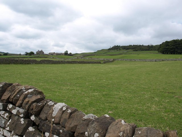
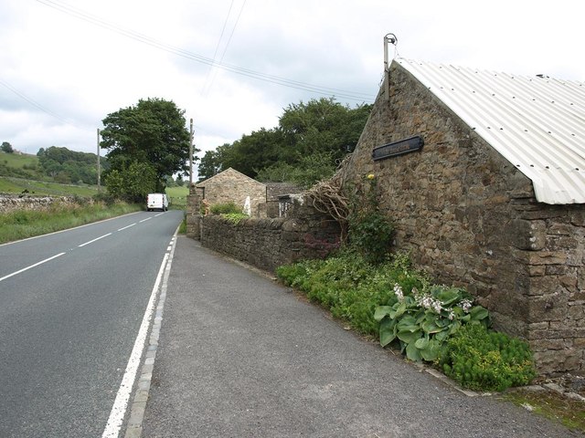
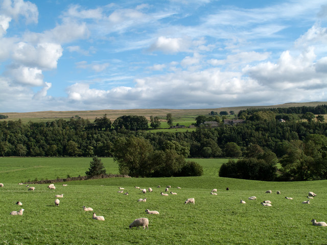
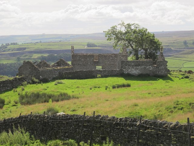
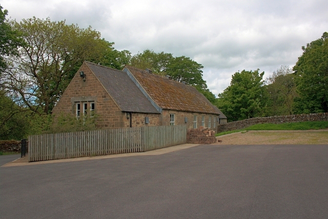
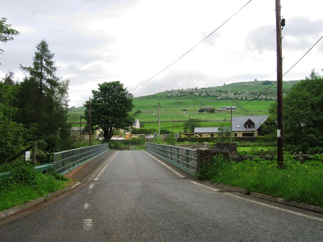
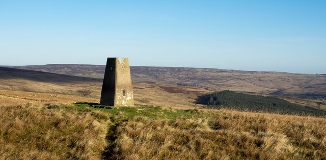
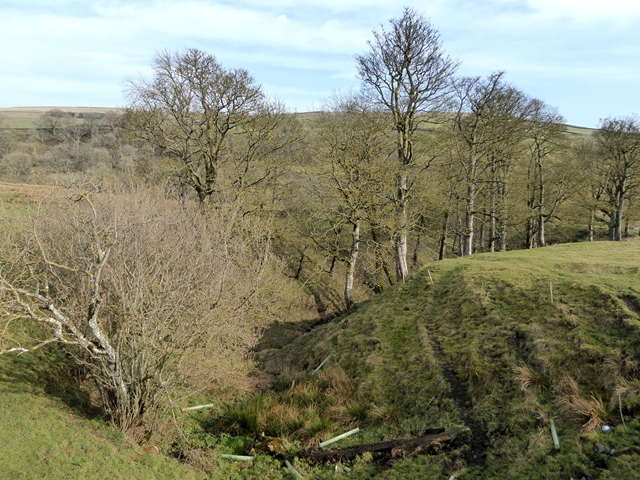
Dunter Linn Images

Images are sourced within 2km of 54.746278/-2.0747506 or Grid Reference NY9539. Thanks to Geograph Open Source API. All images are credited.

Pastures and dry stone walls next to A689
White House Farm, on the A689
Field west of Howl John The field with grazing sheep is in Weardale between the villages of Eastgate and Stanhope; it lies immediately west of the curiously named farm at Howl John. Other fields and clumps of trees lie beyond to the south before a slope rises to grassy moorland.
Field west of Howl John
The field with grazing sheep is in Weardale between the villages of Eastgate and Stanhope; it lies immediately west of the curiously named farm at Howl John. Other fields and clumps of trees lie beyond to the south before a slope rises to grassy moorland.
East Bewdley
East Bewdley
Ludwell Haymaking in fields on Ludwell Farm.
Ludwell
Haymaking in fields on Ludwell Farm.
A path at Bewdley
A path at Bewdley
A cattle grid near Bewdley
A path at Bewdley Plain
Hill Top Cottage
Hill Top Cottage
Entrance to Eastgate
Eastgate: approaching former station,  1995 View NW across a temporarily closed bridge over the River Wear, to the ex-NER Bishop Auckland (to left) - Wearhead (to right) line. Eastgate station and the service to Wearhead closed to passengers from 29/6/53, but goods continued until 1961, to Westgate until 1/7/68 and (for cement) from Eastgate until 17/3/93. The line was mothballed until 2004, then acquired as a heritage operation by the Weardale Railway for progressive restoration.
Eastgate: approaching former station, 1995
View NW across a temporarily closed bridge over the River Wear, to the ex-NER Bishop Auckland (to left) - Wearhead (to right) line. Eastgate station and the service to Wearhead closed to passengers from 29/6/53, but goods continued until 1961, to Westgate until 1/7/68 and (for cement) from Eastgate until 17/3/93. The line was mothballed until 2004, then acquired as a heritage operation by the Weardale Railway for progressive restoration.
All Saints Church, Eastgate
Village Hall, Eastgate
Hag Bridge
Hag Bridge
Trig point on Crow Coal Hill - 2 The trig point, (flush bracket number S6627), with the hollow of the valley of Stanhope Burn beyond. The rather undistinguished high ground on the skyline is Horseshoe Hill.
Trig point on Crow Coal Hill - 2
The trig point, (flush bracket number S6627), with the hollow of the valley of Stanhope Burn beyond. The rather undistinguished high ground on the skyline is Horseshoe Hill.
Gully in the lower Rookhope valley Below South Hanging Wells Farm.
Gully in the lower Rookhope valley
Below South Hanging Wells Farm.
Bungalow at South Hanging Wells Farm
Show me another place!

Dunter Linn is located at Grid Ref: NY9539 (Lat: 54.746278, Lng: -2.0747506)

Unitary Authority: County Durham

Police Authority: Durham

What 3 Words

///exacts.backswing.relatives. Near Stanhope, Co. Durham

Related Wikis

Eastgate, County Durham

Eastgate is a village in the civil parish of Stanhope, in County Durham, England. It is situated in Weardale, a few miles west of Stanhope. In the 2001...

Eastgate railway station

Eastgate railway station, also known as Eastgate-in-Weardale, served the village of Eastgate in County Durham, North East England from 1895 to 1953 as...

Horsley Hall

Horsley Hall is a 17th-century country house, now in use as a hotel, near Stanhope, County Durham, England. It is a Grade II listed building. The manor...

Rookhope

Rookhope is a village in the civil parish of Stanhope, in County Durham, England. A former lead and fluorspar mining community, it first existed as a group...

Nearby Amenities

Located within 500m of 54.746278,-2.0747506
Eastgate
Place: hamlet
Source: npe
Wikidata: Q5330662
Wikipedia: en:Eastgate, County Durham
Lat/Long: 54.7439904/-2.075252
Source: OS_OpenData_StreetView
Lat/Long: 54.7435306/-2.0707087
Bus Stop
Village
Bench: yes
Covered: yes
Naptan AtcoCode: 13004507C
Naptan Bearing: E
Naptan CommonName: Village
Naptan Indicator: east bound
Naptan Landmark: Landmark not known
Naptan NaptanCode: durdapmg
Naptan Notes: Opposite the old post office- A689 Front Street- Eastgate
Naptan Street: A689
Naptan Verified: no
Shelter: yes
Source: naptan_import
Lat/Long: 54.7437116/-2.0747487
Bus Stop
Village
Bench: no
Check Date Bench: 2022-02-05
Covered: no
Naptan AtcoCode: 13004507G
Naptan Bearing: W
Naptan CommonName: Village
Naptan Indicator: west bound
Naptan Landmark: Landmark not known
Naptan NaptanCode: durdapmj
Naptan Notes: Meadow View- A689 Front Street- Eastgate
Naptan Street: A689
Naptan Verified: no
Shelter: no
Source: naptan_import
Lat/Long: 54.7435592/-2.0741737
Bus Stop
The Vicarage
Naptan AtcoCode: 13004537F
Naptan Bearing: SW
Naptan BusStopType: MKD
Naptan CommonName: The Vicarage
Naptan Indicator: SW-bound
Naptan NaptanCode: durdatpj
Naptan Notes: Entrance to Eastgate Cement Works- Eastgate
Naptan RevisionNumber: 3
Naptan Street: A689
Naptan Verified: no
Old Name: Cement Works
Source: naptan_import
Lat/Long: 54.7426486/-2.0789252
Barrier: stile
Material: stone
Source: survey;gps
Stile: stepover
Lat/Long: 54.7447492/-2.0732214
Barrier: cattle_grid
Bicycle: yes
Foot: yes
Motorcar: yes
Motorcycle: yes
Lat/Long: 54.7487974/-2.075846
Bench
Lat/Long: 54.7437109/-2.0746987
Waste Basket
Lat/Long: 54.7437162/-2.0746525
Post Box
Post Box Type: lamp
Ref: DL13 169
Royal Cypher: EIIR
Royal Cypher Wikidata: Q33102113
Lat/Long: 54.7436014/-2.0746507
Power: pole
Lat/Long: 54.7431039/-2.0698693
Power: pole
Lat/Long: 54.7434628/-2.070407
Power: pole
Lat/Long: 54.7438548/-2.0712331
Power: pole
Lat/Long: 54.7446719/-2.0731744
Power: pole
Lat/Long: 54.7463862/-2.0730086
Power: pole
Lat/Long: 54.7468905/-2.073143
Power: pole
Lat/Long: 54.7478951/-2.0733741
Power: pole
Lat/Long: 54.7484331/-2.0735341
Power: pole
Lat/Long: 54.7489553/-2.0737162
Power: pole
Lat/Long: 54.7495113/-2.0738521
Power: pole
Lat/Long: 54.7493558/-2.0749896
Power: pole
Lat/Long: 54.7490225/-2.0772256
Power: pole
Lat/Long: 54.7488673/-2.0786057
Power: pole
Lat/Long: 54.7484973/-2.0808959
Barrier: entrance
Lat/Long: 54.7503933/-2.0721033
Power: pole
Lat/Long: 54.7502526/-2.0752627
Barrier: entrance
Lat/Long: 54.7489964/-2.0724075
Power: pole
Lat/Long: 54.7497441/-2.0714767
Power: pole
Lat/Long: 54.7496256/-2.0726851
Power: pole
Lat/Long: 54.7452491/-2.0816946
Power: pole
Lat/Long: 54.7445679/-2.0807102
Power: pole
Lat/Long: 54.7486496/-2.0798895
Power: pole
Lat/Long: 54.7491844/-2.0761384
Power: pole
Lat/Long: 54.7441283/-2.0718829
Power: pole
Transformer: distribution
Lat/Long: 54.7473376/-2.073243
Power: pole
Lat/Long: 54.7458699/-2.0728165
Power: pole
Lat/Long: 54.7452754/-2.0729962
Power: pole
Lat/Long: 54.7447948/-2.0731381
Power: pole
Lat/Long: 54.7448439/-2.0731236
Generator Method: wind_turbine
Generator Source: wind
Power: generator
Lat/Long: 54.7464009/-2.0684794
Power: pole
Lat/Long: 54.7433246/-2.0797312
Power: pole
Lat/Long: 54.7434144/-2.0797902
Power: pole
Lat/Long: 54.743923/-2.0801577
Image: https://www.geograph.org.uk/photo/728467
Waterway: waterfall
Lat/Long: 54.7455216/-2.0749864
Power: pole
Transformer: distribution
Lat/Long: 54.7491562/-2.0761203
Power: pole
Lat/Long: 54.7493826/-2.0749904
The data included in this document is from www.openstreetmap.org. The data is made available under ODbL.

Have you been to Dunter Linn?

Leave your review of Dunter Linn below (or comments, questions and feedback).