Harrowbank Pasture

Wood, Forest in Durham

England

Harrowbank Pasture

Sheep in fields east of farm at Rose Hill Expectant sheep occupy and graze these fields; at least one of them, nearest the camera, has already produced a lamb.
Sheep in fields east of farm at Rose Hill Credit: Trevor Littlewood

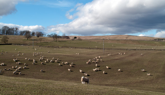
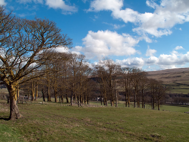
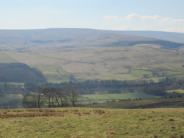
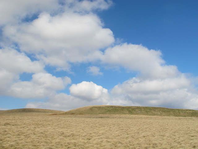
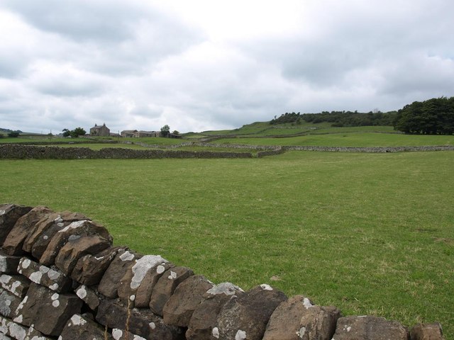
Harrowbank Pasture, located in Durham, England, is a picturesque woodland area that offers visitors a peaceful and natural escape from the hustle and bustle of city life. Spanning over several acres, this forested land provides a haven for both wildlife and humans alike.

The woodland is predominantly composed of deciduous trees, such as oaks, beeches, and birches, which create a vibrant and ever-changing landscape throughout the seasons. The dense foliage provides ample shade during the summer months and a breathtaking display of colors during autumn.

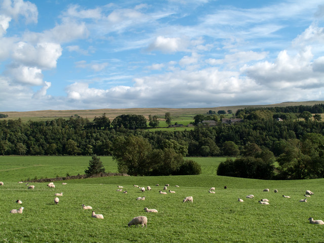
Harrowbank Pasture is known for its diverse range of flora and fauna. The forest floor is carpeted with a variety of wildflowers, including bluebells and primroses, while ferns and mosses thrive in the damp areas. Visitors may also spot a multitude of bird species, such as woodpeckers, owls, and thrushes, as well as small mammals like squirrels and foxes.

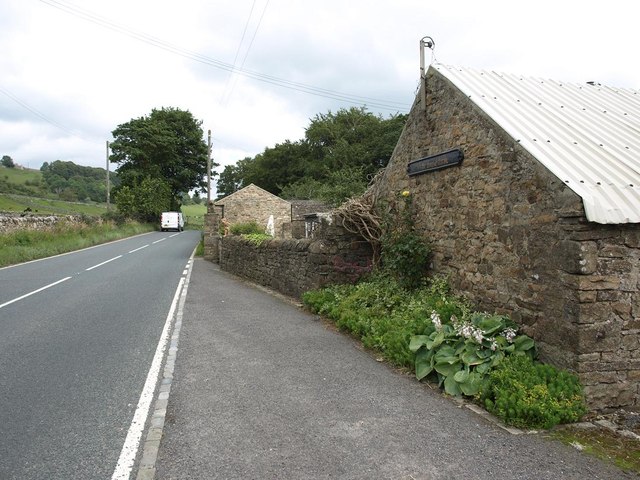
The woodland is crisscrossed with well-maintained footpaths and trails, allowing visitors to explore the area on foot or by bike. There are also picnic areas and benches strategically placed throughout the pasture, providing opportunities to relax and soak in the natural beauty. Additionally, the forest is a popular spot for nature photography and wildlife observation enthusiasts.

Harrowbank Pasture is easily accessible, with ample parking facilities nearby. It offers a serene environment for nature lovers, hikers, and families looking to reconnect with the outdoors. Whether one is seeking a peaceful stroll, a picnic with loved ones, or simply a place to unwind, this forested area in Durham offers an idyllic setting for all.

If you have any feedback on the listing, please let us know in the comments section below.

Harrowbank Pasture Images

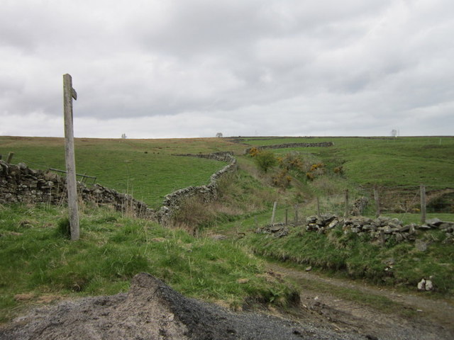
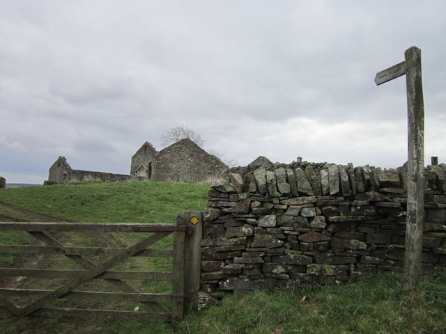
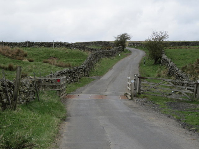
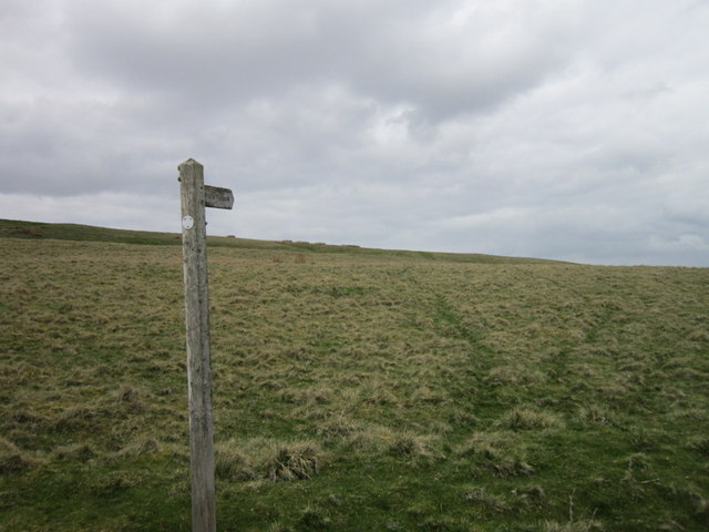
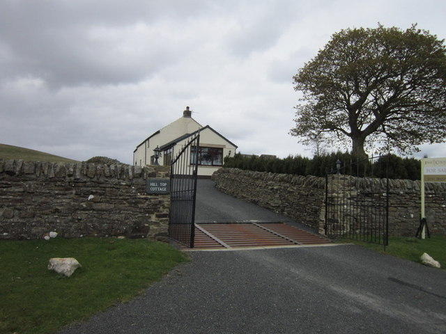
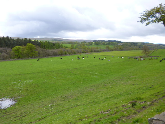
Images are sourced within 2km of 54.74817/-2.0665982 or Grid Reference NY9539. Thanks to Geograph Open Source API. All images are credited.

Sheep in fields east of farm at Rose Hill Expectant sheep occupy and graze these fields; at least one of them, nearest the camera, has already produced a lamb.
Sheep in fields east of farm at Rose Hill
Expectant sheep occupy and graze these fields; at least one of them, nearest the camera, has already produced a lamb.
South Eastgate Plantation Plantations are normally large and densely packed with coniferous trees; South Eastgate Plantation is small and thinly populated with broadleaved trees.
South Eastgate Plantation
Plantations are normally large and densely packed with coniferous trees; South Eastgate Plantation is small and thinly populated with broadleaved trees.
Weardale around Eastgate
Bewdley Plain and Black Hill
Pastures and dry stone walls next to A689
White House Farm, on the A689
Field west of Howl John The field with grazing sheep is in Weardale between the villages of Eastgate and Stanhope; it lies immediately west of the curiously named farm at Howl John. Other fields and clumps of trees lie beyond to the south before a slope rises to grassy moorland.
Field west of Howl John
The field with grazing sheep is in Weardale between the villages of Eastgate and Stanhope; it lies immediately west of the curiously named farm at Howl John. Other fields and clumps of trees lie beyond to the south before a slope rises to grassy moorland.
East Bewdley
East Bewdley
Ludwell Haymaking in fields on Ludwell Farm.
Ludwell
Haymaking in fields on Ludwell Farm.
Minor road passing Greenhead Farm The road pictured here leaves the A689 in Weardale just west of Stanhope and climbs across the valley's northern slope reaching quite high on it before descending into Rook Hope, a tributary valley to Weardale itself.
Minor road passing Greenhead Farm
The road pictured here leaves the A689 in Weardale just west of Stanhope and climbs across the valley's northern slope reaching quite high on it before descending into Rook Hope, a tributary valley to Weardale itself.
Allerton Riggs
Allerton Riggs
Greenhead Farm
Greenhead Farm
A path at Allerton Riggs
A path at Bewdley
A path at Bewdley
A cattle grid near Bewdley
A path at Bewdley Plain
Hill Top Cottage
Hill Top Cottage
Stanhope, cattle grazing In a field next to the Wear, with the preserved railway line North of the river.
Stanhope, cattle grazing
In a field next to the Wear, with the preserved railway line North of the river.
Show me another place!

Harrowbank Pasture is located at Grid Ref: NY9539 (Lat: 54.74817, Lng: -2.0665982)

Unitary Authority: County Durham

Police Authority: Durham

What 3 Words

///balance.rejoins.flows. Near Stanhope, Co. Durham

Related Wikis

Eastgate railway station

Eastgate railway station, also known as Eastgate-in-Weardale, served the village of Eastgate in County Durham, North East England from 1895 to 1953 as...

Eastgate, County Durham

Eastgate is a village in the civil parish of Stanhope, in County Durham, England. It is situated in Weardale, a few miles west of Stanhope. In the 2001...

Horsley Hall

Horsley Hall is a 17th-century country house, now in use as a hotel, near Stanhope, County Durham, England. It is a Grade II listed building. The manor...

West Newlandside Meadows

West Newlandside Meadows is a Site of Special Scientific Interest in the Wear Valley district of County Durham, England. It lies 3 km south-west of the...

Rookhope

Rookhope is a village in the civil parish of Stanhope, in County Durham, England. A former lead and fluorspar mining community, it first existed as a group...

Greenfoot Quarry

Greenfoot Quarry is a Site of Special Scientific Interest in the Wear Valley district of west County Durham, England. It is a disused quarry, situated...

Weardale campaign

The Weardale campaign, part of the First War of Scottish Independence, occurred during July and August 1327 in Weardale, England. A Scottish force under...

Westernhope Burn Wood

Westernhope Burn Wood is a Site of Special Scientific Interest in the Wear Valley district of south-west County Durham, England. It occupies the steeply...

Nearby Amenities

Located within 500m of 54.74817,-2.0665982
Barrier: entrance
Source: survey;gps
Lat/Long: 54.7508538/-2.069315
Barrier: entrance
Source: survey;gps
Lat/Long: 54.7510335/-2.0659809
Barrier: entrance
Source: survey;gps
Lat/Long: 54.7514696/-2.0644561
Barrier: entrance
Source: survey;gps
Lat/Long: 54.7515272/-2.0713059
Barrier: stile
Material: stone
Source: survey;gps
Stile: stepover
Lat/Long: 54.7519573/-2.0636534
Barrier: stile
Material: stone
Source: survey;gps
Stile: squeezer
Lat/Long: 54.7519799/-2.0639485
Barrier: entrance
Source: survey;gps
Lat/Long: 54.7467846/-2.0641183
Power: pole
Lat/Long: 54.7463862/-2.0730086
Power: pole
Lat/Long: 54.7468905/-2.073143
Power: pole
Lat/Long: 54.7478951/-2.0733741
Power: pole
Lat/Long: 54.7484331/-2.0735341
Power: pole
Lat/Long: 54.7489553/-2.0737162
Power: pole
Lat/Long: 54.7495113/-2.0738521
Barrier: entrance
Lat/Long: 54.7503933/-2.0721033
Barrier: entrance
Lat/Long: 54.7489964/-2.0724075
Power: pole
Lat/Long: 54.7523733/-2.0666716
Power: pole
Lat/Long: 54.7515784/-2.0670504
Power: pole
Lat/Long: 54.7510347/-2.0670544
Power: pole
Lat/Long: 54.7502479/-2.0597327
Power: pole
Lat/Long: 54.7502634/-2.0609826
Power: pole
Lat/Long: 54.7502735/-2.0622231
Power: pole
Lat/Long: 54.7502975/-2.0645902
Power: pole
Lat/Long: 54.7504631/-2.0658267
Power: pole
Lat/Long: 54.7506195/-2.0670685
Power: pole
Lat/Long: 54.7507696/-2.0683533
Power: pole
Lat/Long: 54.7504445/-2.0693511
Power: pole
Lat/Long: 54.7497441/-2.0714767
Power: pole
Lat/Long: 54.7496256/-2.0726851
Power: pole
Transformer: distribution
Lat/Long: 54.7473376/-2.073243
Power: pole
Lat/Long: 54.7458699/-2.0728165
Laverock Seat
Place: locality
Source Name: OS_OpenData_StreetView
Lat/Long: 54.751621/-2.0648584
Spain's Field
Place: locality
Source Name: OS_OpenData_StreetView
Lat/Long: 54.751734/-2.0618624
Generator Method: wind_turbine
Generator Source: wind
Power: generator
Lat/Long: 54.7464009/-2.0684794
The data included in this document is from www.openstreetmap.org. The data is made available under ODbL.

Have you been to Harrowbank Pasture?

Leave your review of Harrowbank Pasture below (or comments, questions and feedback).