Burnet Force

Waterfall in Yorkshire Richmondshire

England

Burnet Force

Corner of dry stone wall on Thornton Rust Moor
Corner of dry stone wall on Thornton Rust Moor Credit: Roger Templeman

Burnet Force, located in Yorkshire, England, is a picturesque waterfall that attracts visitors with its natural beauty and serene surroundings. Situated near the village of Askrigg, the waterfall is a hidden gem tucked away in the beautiful countryside of the Yorkshire Dales National Park.

Standing at approximately 30 feet tall, Burnet Force cascades down a series of rocky steps, creating a mesmerizing display of flowing water. The waterfall is fed by the River Ure and is particularly spectacular after heavy rainfall when the water rushes down with immense power and creates a thunderous sound.

To reach Burnet Force, visitors can follow a well-defined footpath that winds through lush green meadows and charming woodlands. The walk provides stunning views of the surrounding landscape, including rolling hills and rugged cliffs that add to the natural allure of the area.

The waterfall is an ideal spot for nature enthusiasts, photographers, and those seeking tranquility. Its remote location ensures a peaceful atmosphere, allowing visitors to immerse themselves in the serenity of the surroundings. The area is also home to diverse wildlife and offers opportunities for birdwatching and observing native flora and fauna.

Burnet Force is a hidden treasure in Yorkshire, offering a serene retreat from the hustle and bustle of everyday life. Its natural beauty and tranquil ambiance make it a must-visit destination for anyone exploring the Yorkshire Dales National Park.

If you have any feedback on the listing, please let us know in the comments section below.
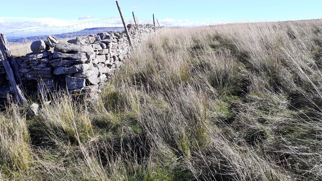
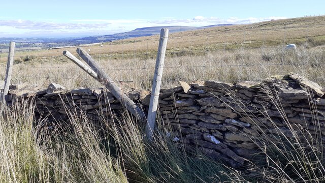
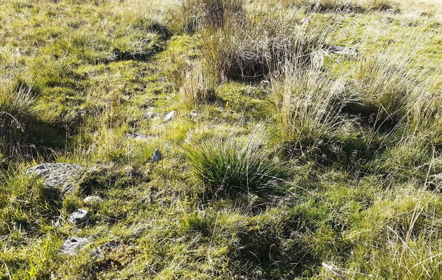
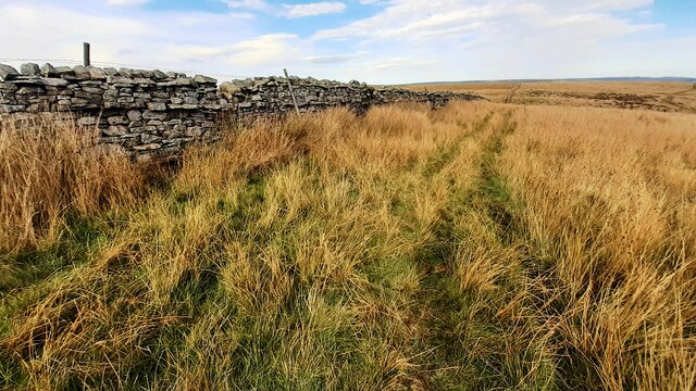
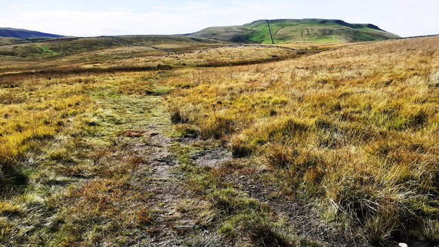
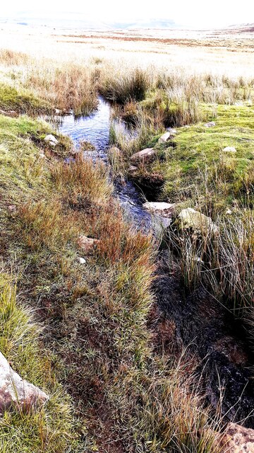
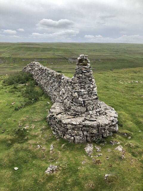
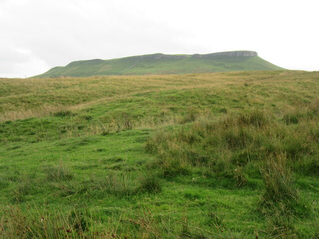
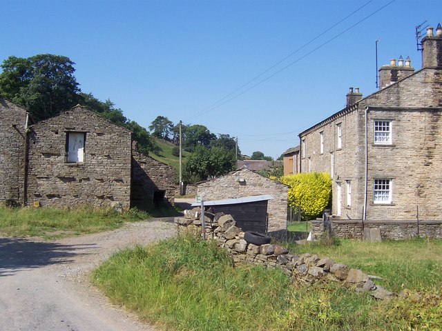
Burnet Force Images

Images are sourced within 2km of 54.28142/-2.0912286 or Grid Reference SD9487. Thanks to Geograph Open Source API. All images are credited.

Corner of dry stone wall on Thornton Rust Moor
Open moorland on Worton Pasture
View over dry stone wall of sheep grazing on Thornton Rust Moor
A stream on Worton Pasture
Remains of a building on Worton Pasture?
Moorland view on Stony Rigg There is an animal trap on a log over a pit beside the wall at the gap in the rushes near the left hand edge of the image
Moorland view on Stony Rigg
There is an animal trap on a log over a pit beside the wall at the gap in the rushes near the left hand edge of the image
Track on Thornton Rust Moor towards Carpley Green
A stream on Thornton Rust Moor north of Stony Rigg
Addlebrough Prominent fell on the south side of Wensleydale with two areas of ancient settlement remains.
Addlebrough
Prominent fell on the south side of Wensleydale with two areas of ancient settlement remains.
Cairn at wall end on southeast edge of Addlebrough Well constructed cairn at the end of a wall that reaches the plateau of Addlebrough in the southeast corner. I assume the wall at one time closed the gap between the cairn and point where the picture was taken to complete a field boundary which has become superfluous.
Cairn at wall end on southeast edge of Addlebrough
Well constructed cairn at the end of a wall that reaches the plateau of Addlebrough in the southeast corner. I assume the wall at one time closed the gap between the cairn and point where the picture was taken to complete a field boundary which has become superfluous.
Outline of ancient settlement, Addlebrough Ancient settlement on the southeastern lower slopes of Addlebrough, traced out by surviving lines of limestone on the grassy shelf.
Outline of ancient settlement, Addlebrough
Ancient settlement on the southeastern lower slopes of Addlebrough, traced out by surviving lines of limestone on the grassy shelf.
Bridleway track fording small stream on Thornton Rust Moor
Carpley Green & Addlebrough Looking north down Busk Lane towards Carpley Green with Addlebrough behind.
Carpley Green & Addlebrough
Looking north down Busk Lane towards Carpley Green with Addlebrough behind.
Addlebrough Looking towards Addlebrough from Carpley Green Road.
Addlebrough
Looking towards Addlebrough from Carpley Green Road.
Semer Water Semer Water viewed from Carpley Green Road.
Semer Water
Semer Water viewed from Carpley Green Road.
The north side of Addlebrough Looking up at the north side of Addlebrough.
The north side of Addlebrough
Looking up at the north side of Addlebrough.
Field barn above the River Bain The little River Bain is hidden in the fold of the hills, whilst the barn, although typical of Dales barns, is slightly unusual in that it sits in the middle of a field rather than at a junction of two or three.
Field barn above the River Bain
The little River Bain is hidden in the fold of the hills, whilst the barn, although typical of Dales barns, is slightly unusual in that it sits in the middle of a field rather than at a junction of two or three.
Seat at Turner's viewpoint, Semer Water In July 1816 J M W Turner made a sketch for his engraving, later used for a painting, of 'Simmer Water'. This is one of 76 sites that have been identified as viewpoints for Turner paintings.
Seat at Turner's viewpoint, Semer Water
In July 1816 J M W Turner made a sketch for his engraving, later used for a painting, of 'Simmer Water'. This is one of 76 sites that have been identified as viewpoints for Turner paintings.
Show me another place!

Burnet Force is located at Grid Ref: SD9487 (Lat: 54.28142, Lng: -2.0912286)

Division: North Riding

Administrative County: North Yorkshire

District: Richmondshire

Police Authority: North Yorkshire

What 3 Words

///directive.divide.canines. Near Leyburn, North Yorkshire

Nearby Locations

Burnet Force

Related Wikis

Addlebrough

Addlebrough is a fell in Wensleydale, North Yorkshire, England. It is 481 m (1,578 ft) high. Bronze Age inhabitants built homes and enclosures on the fell...

Yorkshire Dales

The Yorkshire Dales are an upland area of the Pennines in England. Most of the area is in the county of North Yorkshire, but it extends into Cumbria and...

Semerwater

Semerwater () is the second largest natural lake in North Yorkshire, England, after Malham Tarn. It is half a mile (800 m) long, covers 100 acres (0.40...

Countersett

Countersett is the largest of the three settlements in Raydale, around Semerwater in the Richmondshire district of North Yorkshire, England. It is in the...

Cubeck

Cubeck is a hamlet in the Richmondshire district of North Yorkshire, England. It is near Thornton Rust and Worton. == External links == Media related...

Virosidum

Virosidum was a Roman fort and settlement situated near to the modern town of Bainbridge, North Yorkshire, England. The site is a Scheduled monument....

River Bain Hydro

The River Bain Hydro is a hydroelectric generator on the River Bain in the village of Bainbridge, North Yorkshire, England. Its screw turbine powers most...

Stalling Busk

Stalling Busk is one of three settlements around Semer Water in the Richmondshire district of North Yorkshire in the small dale of Raydale just off...

Nearby Amenities

Located within 500m of 54.28142,-2.0912286
Carpley Green
Place: hamlet
Source: os_25k_firstseries
Lat/Long: 54.2802061/-2.088084
Information: guidepost
Tourism: information
Lat/Long: 54.2813766/-2.0882892
Power: pole
Lat/Long: 54.2826674/-2.0986156
Power: pole
Lat/Long: 54.2821341/-2.0970222
Power: pole
Lat/Long: 54.2820506/-2.0955693
Power: pole
Lat/Long: 54.2819803/-2.094292
Power: pole
Lat/Long: 54.2818895/-2.0927212
Power: pole
Lat/Long: 54.281806/-2.0913687
Power: pole
Lat/Long: 54.2814588/-2.0904402
Power: pole
Lat/Long: 54.2809197/-2.0889547
Power: pole
Lat/Long: 54.2806413/-2.088227
The data included in this document is from www.openstreetmap.org. The data is made available under ODbL.

Have you been to Burnet Force?

Leave your review of Burnet Force below (or comments, questions and feedback).