Whitfield Gill Force

Waterfall in Yorkshire Richmondshire

England

Whitfield Gill Force

Main Street, Askrigg Fairly tourist-free on a Monday in March.
Main Street, Askrigg Credit: Christine Johnstone

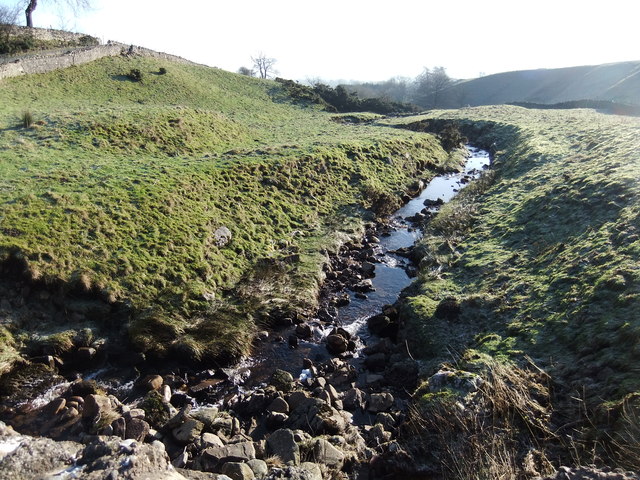
Whitfield Gill Force is a stunning waterfall located in Yorkshire, England. Situated in the picturesque Swaledale Valley, it is a popular tourist attraction for nature lovers and hikers alike. The waterfall is formed by the Whitfield Gill Beck, a small river that cascades down a series of rocky steps, creating a breathtaking sight.

The force is surrounded by lush greenery, with the water tumbling down into a deep pool below. The flow of the waterfall varies throughout the year, with the intensity often depending on the rainfall in the area. During heavy rainfall, the force can become particularly powerful and awe-inspiring.

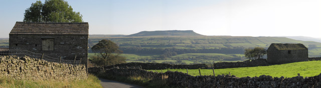
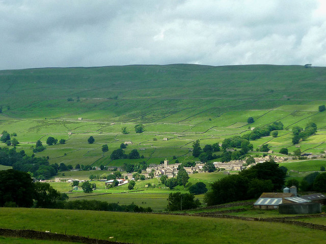
Visitors can reach Whitfield Gill Force by following a well-marked footpath that winds through the beautiful Yorkshire Dales National Park. The walk to the waterfall is relatively easy, making it accessible to people of all fitness levels. Along the way, hikers can enjoy the stunning scenery of the dales, with rolling hills and charming stone-built cottages dotting the landscape.

Once at the waterfall, visitors can take in the magnificent views and even dip their toes in the cool water on warmer days. The area surrounding Whitfield Gill Force is also a haven for wildlife, with various species of birds and small mammals often spotted in the vicinity.

Overall, Whitfield Gill Force offers a tranquil and captivating experience for those seeking to immerse themselves in the natural beauty of Yorkshire.

If you have any feedback on the listing, please let us know in the comments section below.

Whitfield Gill Force Images

Images are sourced within 2km of 54.325305/-2.1026115 or Grid Reference SD9392. Thanks to Geograph Open Source API. All images are credited.

Main Street, Askrigg Fairly tourist-free on a Monday in March.
Main Street, Askrigg
Fairly tourist-free on a Monday in March.
Cyclists welcomed here Sykes House, Askrigg.
Cyclists welcomed here
Sykes House, Askrigg.
"Skeldale House" Askrigg The outside of this house featured as the surgery where James Herriot practised in the TV series "All Creatures Great and Small" Askrigg, North Yorkshire.
"Skeldale House" Askrigg
The outside of this house featured as the surgery where James Herriot practised in the TV series "All Creatures Great and Small" Askrigg, North Yorkshire.
Main Street Looking up Main Street Askrigg, North Yorkshire. Skeldale House is on the right the outside of this house featured as the surgery where James Herriot practised in the TV series "All Creatures Great and Small" for single view of the house see <a title="https://www.geograph.org.uk/photo/2376629" href="https://www.geograph.org.uk/photo/2376629">Link</a>
Main Street
Looking up Main Street Askrigg, North Yorkshire. Skeldale House is on the right the outside of this house featured as the surgery where James Herriot practised in the TV series "All Creatures Great and Small" for single view of the house see Link
Beech tree trunk, Mill Gill There are several large beeches in the wooded gill. This one is covered in many wart-like growths and protrusions. Beech trees normally have a very smooth bark.
Beech tree trunk, Mill Gill
There are several large beeches in the wooded gill. This one is covered in many wart-like growths and protrusions. Beech trees normally have a very smooth bark.
Barns on Lamb Hill near Askrigg The lower one at least appears to be roofless and derelict.
Barns on Lamb Hill near Askrigg
The lower one at least appears to be roofless and derelict.
Barn above Mill Gill, Askrigg Looking across Wensleydale to Crag, the ridge above Bainbridge which carries the Cam High Roman road.
Barn above Mill Gill, Askrigg
Looking across Wensleydale to Crag, the ridge above Bainbridge which carries the Cam High Roman road.
West End cows and barn, Askrigg They must think rain is on the way (the lone optimist apart)?
West End cows and barn, Askrigg
They must think rain is on the way (the lone optimist apart)?
View of Addlebrough framed by old barns Classic Wensleydale scene.
View of Addlebrough framed by old barns
Classic Wensleydale scene.
Bainbridge in 1984 Set beside the River Bain, as seen from the A684 road bridge
Bainbridge in 1984
Set beside the River Bain, as seen from the A684 road bridge
Benchmark on outbuilding of the Manor House Ordnance Survey cut mark benchmark described on the Bench Mark Database at <span class="nowrap"><a title="http://www.bench-marks.org.uk/bm27818" rel="nofollow ugc noopener" href="http://www.bench-marks.org.uk/bm27818">Link</a><img style="margin-left:2px;" alt="External link" title="External link - shift click to open in new window" src="https://s1.geograph.org.uk/img/external.png" width="10" height="10"/></span>
Benchmark on outbuilding of the Manor House
Ordnance Survey cut mark benchmark described on the Bench Mark Database at LinkExternal link
The Manor House, an island on the A684 There is an OS benchmark <a href="https://www.geograph.org.uk/photo/2722415">SD9390 : Benchmark on outbuilding of the Manor House</a> on the left corner of the outbuilding.
The Manor House, an island on the A684
There is an OS benchmark SD9390 : Benchmark on outbuilding of the Manor House on the left corner of the outbuilding.
Newbiggin Beck
Newbiggin Beck
Whitfield Gill When the water level in Whitfield Gill is lower than pictured this small waterfall recedes to reveal natural stepping stones across the stream.
Whitfield Gill
When the water level in Whitfield Gill is lower than pictured this small waterfall recedes to reveal natural stepping stones across the stream.
View of Bainbridge
View of Bainbridge
Askrigg Sunlight passes over the Wensleydale village with the square tower of the church prominent.
Askrigg
Sunlight passes over the Wensleydale village with the square tower of the church prominent.
Sheep shearing at the back of Askrigg Two dogs keep the flock penned into the field corner while the farmer gets on with the shearing.
Sheep shearing at the back of Askrigg
Two dogs keep the flock penned into the field corner while the farmer gets on with the shearing.
Unloading straw at Grange Farm A supply of straw bales has arrived from down in the vale, no doubt to be used as winter bedding for stock. The farm here is known as Grange and stands on the site of a grange of Jervaulx Abbey.
Unloading straw at Grange Farm
A supply of straw bales has arrived from down in the vale, no doubt to be used as winter bedding for stock. The farm here is known as Grange and stands on the site of a grange of Jervaulx Abbey.
Show me another place!

Whitfield Gill Force is located at Grid Ref: SD9392 (Lat: 54.325305, Lng: -2.1026115)

Division: North Riding

Administrative County: North Yorkshire

District: Richmondshire

Police Authority: North Yorkshire

What 3 Words

///disputes.best.responded. Near Leyburn, North Yorkshire

Related Wikis

Fors Abbey

Fors Abbey was an abbey in Low Abbotside, Askrigg, North Yorkshire, England.It was built in 1145 for the Savigniac order and converted to the Cistercian...

River Bain, North Yorkshire

The River Bain is a river in North Yorkshire, England. As a tributary of the River Ure, it is one of the shortest, named rivers in England. The river...

Askrigg railway station

Askrigg railway station is a disused railway station in North Yorkshire, England and served the village of Askrigg. It was part of the Wensleydale Railway...

St Oswald's Church, Askrigg

St Oswald's Church is a Grade I listed parish church in the Church of England in Askrigg, North Yorkshire. == History == The church dates largely from...

Bainbridge, North Yorkshire

Bainbridge is a village and civil parish in North Yorkshire, England. The population of the civil parish at the 2011 census was 480. The village is situated...
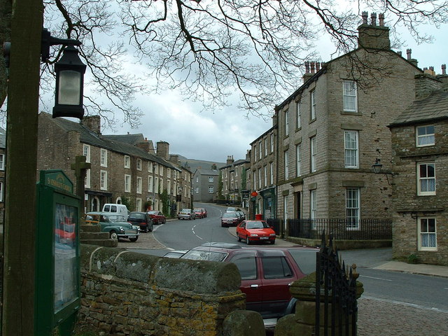
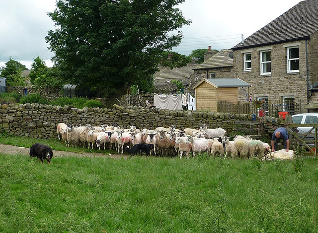
Askrigg

Askrigg is a small village and civil parish in Wensleydale in the Yorkshire Dales National Park. It was formerly a part of the Richmondshire district of...
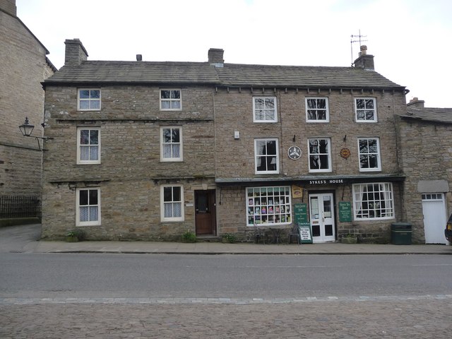
Cringley House

Cringley House (also known as Skeldale House) is an historic building in the English village of Askrigg, North Yorkshire. Standing on the south side of...
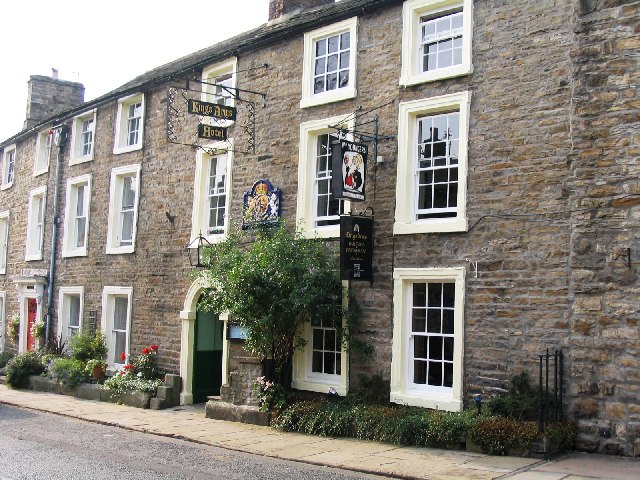
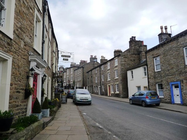
Kings Arms Hotel

The Kings Arms Hotel is a public house and inn in the English village of Askrigg, North Yorkshire. A Grade II listed building, standing on the northern...

Nearby Amenities

Located within 500m of 54.325305,-2.1026115
Askrigg Pasture
Place: locality
Source: NPE
Lat/Long: 54.3270917/-2.097991
Barrier: stile
Lat/Long: 54.3214366/-2.0988861
Whitfield Gill Lower Falls
Image: https://www.geograph.org.uk/photo/2217696
Waterway: waterfall
Lat/Long: 54.3227494/-2.100964
Whitfield Gill Force
Image: https://www.geograph.org.uk/photo/2217694
Waterway: waterfall
Lat/Long: 54.3251378/-2.1024263
Bench
Backrest: yes
Image: https://www.geograph.org.uk/photo/5077705
Lat/Long: 54.325301/-2.1012144
Hiking: yes
Information: guidepost
Tourism: information
Lat/Long: 54.3253507/-2.101203
Bench
Backrest: yes
Lat/Long: 54.3253507/-2.1012902
The data included in this document is from www.openstreetmap.org. The data is made available under ODbL.

Have you been to Whitfield Gill Force?

Leave your review of Whitfield Gill Force below (or comments, questions and feedback).