High Ash Gill Scar

Waterfall in Yorkshire Richmondshire

England

High Ash Gill Scar

Marsett Lane This is just outside the hamlet of Marsett on the way to Countersett. The hill in the distance is Addlebrough.
Marsett Lane Credit: Marathon

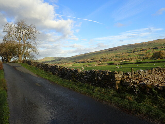
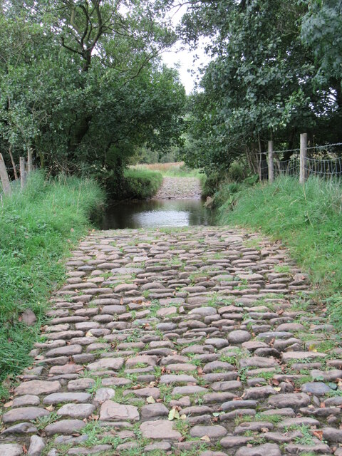
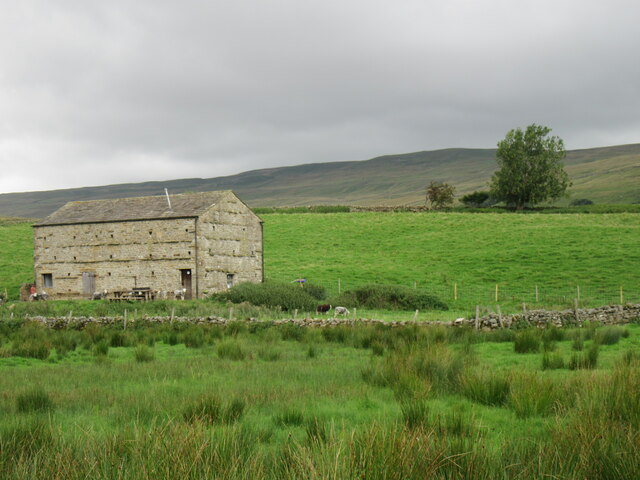
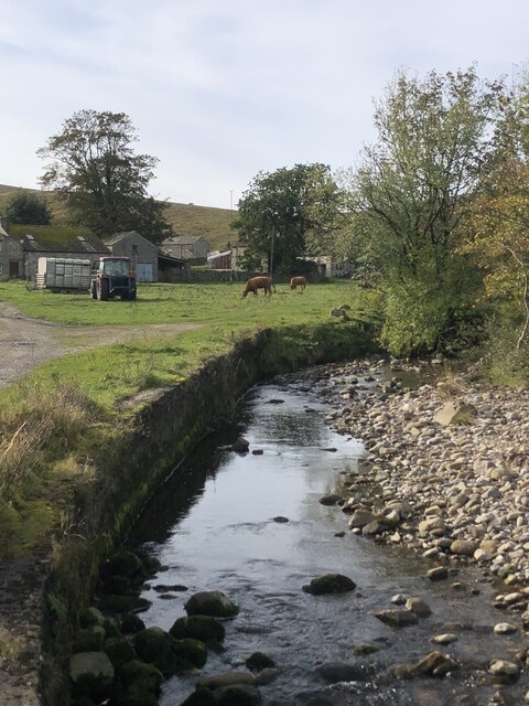
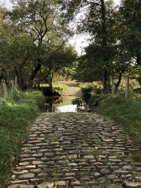
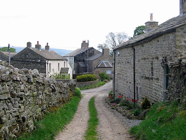
High Ash Gill Scar is a stunning waterfall located in the Yorkshire Dales National Park, England. It is situated near the village of Askrigg, in the northern part of Yorkshire. With its picturesque beauty and natural charm, it has become a popular destination for nature lovers and hikers.

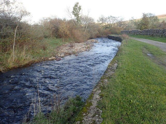
The waterfall cascades down a limestone cliff, creating a breathtaking sight as the water plunges into a crystal-clear pool below. The total drop of High Ash Gill Scar is approximately 20 meters, making it an impressive sight to behold. The surrounding landscape is dominated by lush greenery, with dense vegetation and towering trees adding to the scenic beauty of the area.

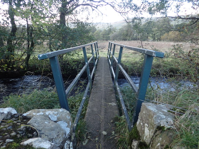
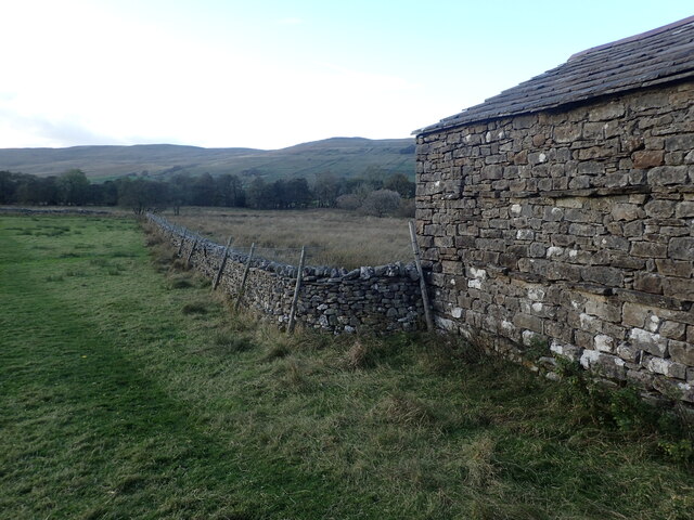
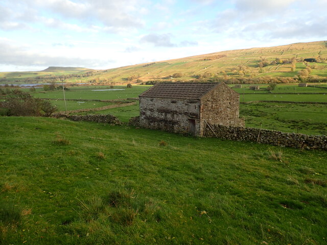
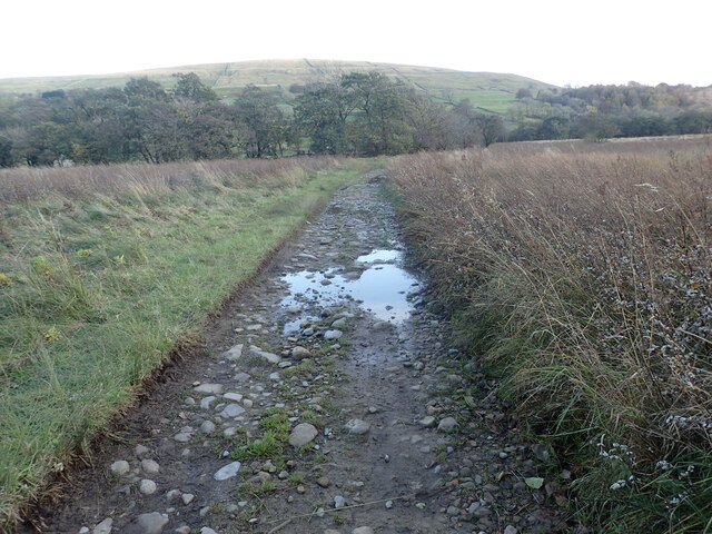
Access to High Ash Gill Scar is relatively easy, with a well-marked footpath leading to the waterfall from Askrigg village. The path takes visitors through scenic meadows and woodland, providing opportunities for wildlife spotting and enjoying the tranquility of the countryside.

The best time to visit High Ash Gill Scar is after heavy rainfall, as the waterfall is at its most powerful and the sound of rushing water fills the air. However, even during drier periods, the waterfall still offers a captivating sight, with the limestone rocks adding a unique texture to the scene.

Overall, High Ash Gill Scar is a natural wonder that showcases the beauty of Yorkshire's landscape. Its combination of stunning waterfalls, lush vegetation, and peaceful surroundings make it an ideal destination for nature enthusiasts and those seeking a serene escape in the heart of Yorkshire.

If you have any feedback on the listing, please let us know in the comments section below.

High Ash Gill Scar Images

Images are sourced within 2km of 54.274487/-2.1631733 or Grid Reference SD8986. Thanks to Geograph Open Source API. All images are credited.

Marsett Lane This is just outside the hamlet of Marsett on the way to Countersett. The hill in the distance is Addlebrough.
Marsett Lane
This is just outside the hamlet of Marsett on the way to Countersett. The hill in the distance is Addlebrough.
Footbridge over Cragdale Water The footpath between Stalling Busk and Marsett is wet at the best of times. Cragdale water and then Raydale Beck are crossed by footbridges. This is the first one.
Footbridge over Cragdale Water
The footpath between Stalling Busk and Marsett is wet at the best of times. Cragdale water and then Raydale Beck are crossed by footbridges. This is the first one.
A barn in Raydale This view is from a meeting of footpaths downhill from Stelling Busk on the way to Cragdale Water.
A barn in Raydale
This view is from a meeting of footpaths downhill from Stelling Busk on the way to Cragdale Water.
Old barn seen from Marsett Lane The barns in the Yorkshire Dales are in varying stages of dilapidation. This one seems quite good and it appears to have a new roof. The hill in the distance on the left is Addlebrough.
Old barn seen from Marsett Lane
The barns in the Yorkshire Dales are in varying stages of dilapidation. This one seems quite good and it appears to have a new roof. The hill in the distance on the left is Addlebrough.
Marsett Beck This looks downstream from Marsett Bridge. Marsett Beck flows into Crooks Beck a short distance ahead which in turn flows into Semer Water.
Marsett Beck
This looks downstream from Marsett Bridge. Marsett Beck flows into Crooks Beck a short distance ahead which in turn flows into Semer Water.
Track between two streams The track has just crossed Raydale Beck and is heading to the footbridge over Cragdale Water.
Track between two streams
The track has just crossed Raydale Beck and is heading to the footbridge over Cragdale Water.
Isolated barn in a field The barns in the Yorkshire Dales are in varying stages of dilapidation. This one seems in quite good condition and it appears to have a decent roof. This view is from the footpath which leads from Busk Lane towards Semer Water.
Isolated barn in a field
The barns in the Yorkshire Dales are in varying stages of dilapidation. This one seems in quite good condition and it appears to have a decent roof. This view is from the footpath which leads from Busk Lane towards Semer Water.
Fading light near Stalling Busk This view is of the footpath which leads from Semer Water towards Busk Lane.
Fading light near Stalling Busk
This view is of the footpath which leads from Semer Water towards Busk Lane.
Footpath near Stalling Busk This view is of the footpath which leads from Semer Water towards Busk Lane.
Footpath near Stalling Busk
This view is of the footpath which leads from Semer Water towards Busk Lane.
Raydale near Stalling Busk Looking SW from Busk Lane.
Raydale near Stalling Busk
Looking SW from Busk Lane.
Busk Lane ford A cobbled ford on Busk Lane.
Busk Lane ford
A cobbled ford on Busk Lane.
Wether Fell Looking up at Wether Fell from Busk Lane.
Wether Fell
Looking up at Wether Fell from Busk Lane.
Marsett view Looking towards Addleborough.
Marsett view
Looking towards Addleborough.
Small cairn beside bridleway above Raydale
Marsett Beck
Marsett Beck
Cobbled ford across Raydale Beck
Barn in Raydale near Marsett
Cam High Road Former Roman road, Cam High Road, just above Burterset, looking up the road from High Lane.
Cam High Road
Former Roman road, Cam High Road, just above Burterset, looking up the road from High Lane.
Show me another place!

High Ash Gill Scar is located at Grid Ref: SD8986 (Lat: 54.274487, Lng: -2.1631733)

Division: North Riding

Administrative County: North Yorkshire

District: Richmondshire

Police Authority: North Yorkshire

What 3 Words

///cringe.footpath.prep. Near Leyburn, North Yorkshire

Related Wikis

Marsett

Marsett is one of three settlements in around Semer Water in Raydale, a small side dale off Wensleydale in North Yorkshire, England. Marsett is only a...

Wether Fell

Wether Fell (archaically Wetherfell), also known as Drumaldrace (the name of its summit), is a mountain in the Yorkshire Dales National Park, in North...

St Matthew's Church, Stalling Busk

St Matthew's Church, Stalling Busk is a Grade II listed parish church in the Church of England in Stalling Busk, North Yorkshire. == History == The church...

Stalling Busk

Stalling Busk is one of three settlements around Semer Water in the Richmondshire district of North Yorkshire in the small dale of Raydale just off...

Semerwater

Semerwater () is the second largest natural lake in North Yorkshire, England, after Malham Tarn. It is half a mile (800 m) long, covers 100 acres (0.40...

Burtersett

Burtersett is a small village in the Yorkshire Dales, North Yorkshire, England. It lies approximately 1 mile (1.6 km) east from Hawes and Gayle. The village...

Countersett

Countersett is the largest of the three settlements in Raydale, around Semerwater in the Richmondshire district of North Yorkshire, England. It is in the...

Wensleydale

Wensleydale is a valley in North Yorkshire, England. It is one of the Yorkshire Dales, which are part of the Pennines, and within the Yorkshire Dales National...

Nearby Amenities

Located within 500m of 54.274487,-2.1631733
Power: pole
Lat/Long: 54.2735019/-2.1560363
Power: pole
Lat/Long: 54.27337/-2.1563751
The data included in this document is from www.openstreetmap.org. The data is made available under ODbL.

Have you been to High Ash Gill Scar?

Leave your review of High Ash Gill Scar below (or comments, questions and feedback).