Cotter Force
Waterfall in Yorkshire Richmondshire
England
Cotter Force
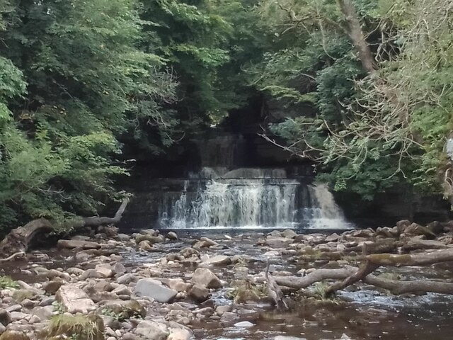
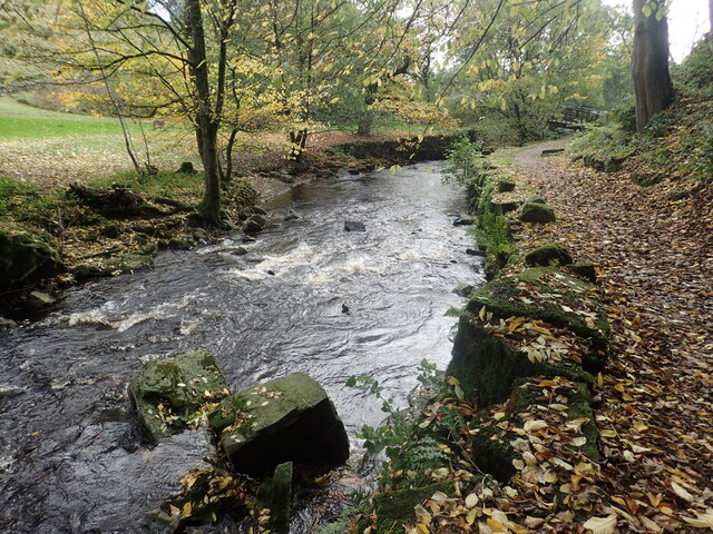
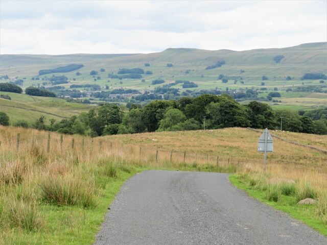
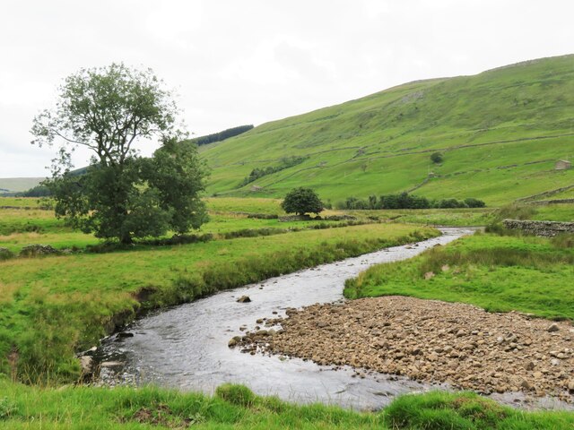
Cotter Force is a picturesque waterfall located in Yorkshire, England. Situated in the tranquil valley of Cotterdale, it is nestled amidst the stunning beauty of the Yorkshire Dales National Park. The waterfall is formed by the Cotter Beck, a small stream that cascades down a series of rocky steps, creating a mesmerizing display of natural beauty.
Standing at a height of approximately 30 feet, Cotter Force is a popular attraction for nature lovers and outdoor enthusiasts. The surrounding landscape is characterized by lush greenery, rugged cliffs, and a diverse range of flora and fauna. Visitors can enjoy a leisurely hike through the scenic Cotterdale Valley, immersing themselves in the peaceful ambiance and taking in panoramic views of the waterfall.
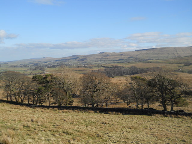
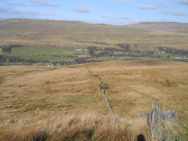
The area around Cotter Force offers ample opportunities for exploration and outdoor activities. Walking trails wind through the valley, allowing visitors to discover hidden gems and appreciate the unspoiled beauty of the Yorkshire countryside. The waterfall is particularly captivating after heavy rainfall, when the rushing waters create a powerful spectacle.
Access to Cotter Force is relatively easy, with a small car park situated nearby for convenience. The waterfall is a short walk away, although the path can be uneven and slippery in certain sections. It is advisable to wear appropriate footwear and exercise caution when visiting.
Overall, Cotter Force is a tranquil oasis in the heart of Yorkshire, offering a serene escape into nature's splendor. Whether it's the sound of rushing water, the refreshing mist on your face, or the breathtaking surroundings, this enchanting waterfall is sure to leave a lasting impression on all who visit.
If you have any feedback on the listing, please let us know in the comments section below.
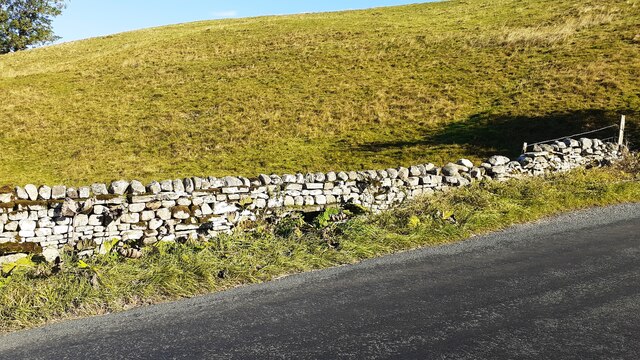
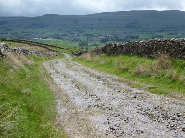
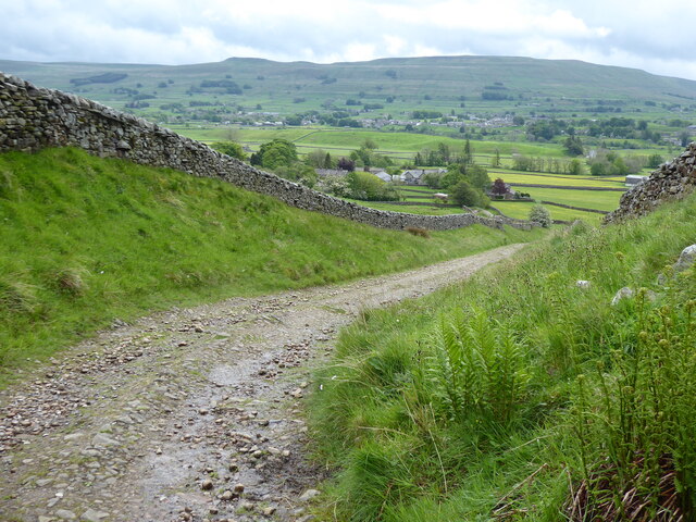
Cotter Force Images
Images are sourced within 2km of 54.32325/-2.2346892 or Grid Reference SD8491. Thanks to Geograph Open Source API. All images are credited.

![Pry House, Appersett Farmland in upper Wensleydale.
[Image formed from 2 photos merged together.]](https://s0.geograph.org.uk/geophotos/07/23/49/7234920_6836e27c.jpg)


Cotter Force is located at Grid Ref: SD8491 (Lat: 54.32325, Lng: -2.2346892)
Division: North Riding
Administrative County: North Yorkshire
District: Richmondshire
Police Authority: North Yorkshire
What 3 Words
///rainbow.mirroring.unique. Near Kirkby Stephen, Cumbria
Nearby Locations
Related Wikis

Cotter Force
Cotter Force is a small waterfall on Cotterdale Beck, a minor tributary of the River Ure, near the mouth of Cotterdale, a side dale in Wensleydale, North...

Appersett
Appersett is a hamlet in the Yorkshire Dales in the Richmondshire district of North Yorkshire, England one mile (1.6 km) west of Hawes. It lies on the...

Hardraw
Hardraw is a hamlet near Hawes within the Yorkshire Dales in North Yorkshire, England. It takes its name from the nearby Hardraw Force waterfall. The old...

St Mary and St John's Church, Hardraw
St Mary and St John's Church, Hardraw (also Hardrow) is a Grade II listed parish church in the Church of England: 181 in Hardraw, North Yorkshire. �...

Hardraw Force
Hardraw Force (OS grid ref: SD869917) is a waterfall on Hardraw Beck in Hardraw Scar, a wooded ravine just outside the hamlet of Hardraw, 0.9 miles (1...

Simonstone, North Yorkshire
Simonstone is a hamlet near Hawes and Hardraw Force within the Yorkshire Dales in North Yorkshire, England. == References ==

Cotterdale
Cotterdale is a small side dale and hamlet on the north side of Wensleydale in North Yorkshire, England. The dale lies to the west of Great Shunner Fell...

Hawes
Hawes is a market town and civil parish in North Yorkshire, England, at the head of Wensleydale in the Yorkshire Dales, and historically in the North Riding...
Nearby Amenities
Located within 500m of 54.32325,-2.2346892Have you been to Cotter Force?
Leave your review of Cotter Force below (or comments, questions and feedback).