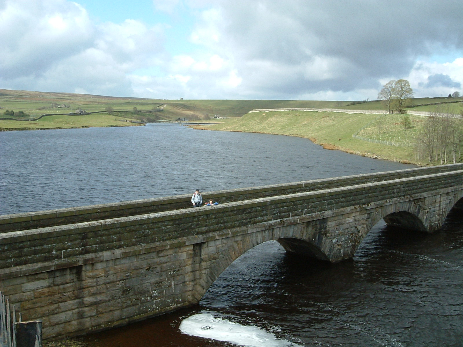
Arngill Force
Waterfall in Yorkshire
England
Arngill Force

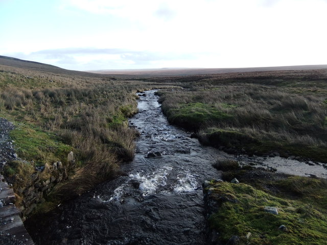
Arngill Force is a picturesque waterfall located in the Yorkshire Dales National Park, in North Yorkshire, England. Situated in the beautiful Swaledale valley, this natural wonder attracts visitors from near and far with its stunning beauty and serene surroundings.
The waterfall is formed by the Arngill Beck, a small stream that cascades down a series of rocky steps, creating a mesmerizing display of rushing water and mist. The falls are surrounded by lush greenery, with towering trees and moss-covered rocks, adding to its enchanting appeal.
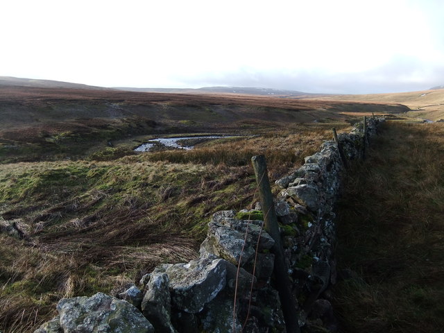
Arngill Force is easily accessible via a short hike from the nearby village of Reeth. The walk to the waterfall takes visitors through rolling countryside, offering breathtaking views of the surrounding landscape. Along the way, visitors can spot various species of wildlife, including birds and small mammals, making it a popular spot for nature enthusiasts and photographers.
The waterfall is especially popular after rainfall, when the water flow is at its strongest, creating a dramatic and powerful sight. However, even during drier periods, Arngill Force maintains its charm, with a steady stream of water gracefully cascading down the rocks.
Visitors can enjoy the tranquility of the area by sitting on one of the nearby benches or simply taking in the natural beauty. Additionally, there are picnic areas nearby, allowing visitors to relax and enjoy a meal amidst the peaceful surroundings.
Arngill Force is a true gem of the Yorkshire Dales, offering a serene and magical experience for all who visit.
If you have any feedback on the listing, please let us know in the comments section below.
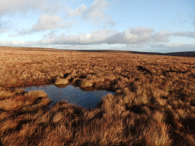
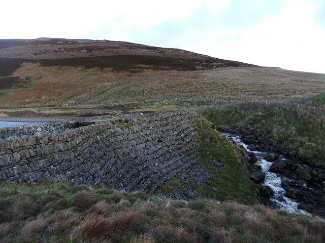
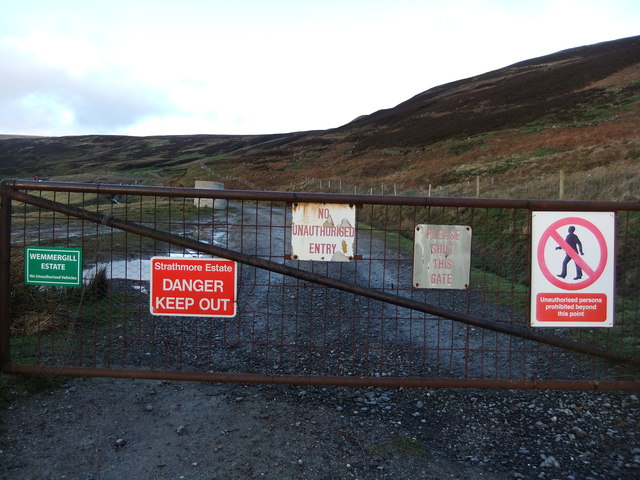
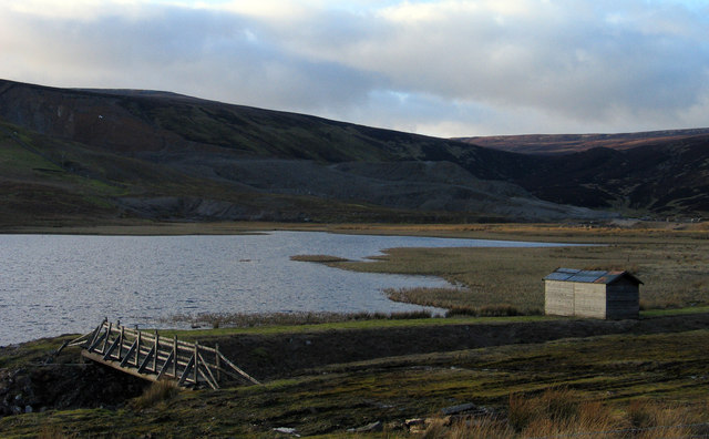
Arngill Force Images
Images are sourced within 2km of 54.606202/-2.2366563 or Grid Reference NY8423. Thanks to Geograph Open Source API. All images are credited.


Arngill Force is located at Grid Ref: NY8423 (Lat: 54.606202, Lng: -2.2366563)
Division: North Riding
Unitary Authority: County Durham
Police Authority: Durham
What 3 Words
///likening.scoop.crossing. Near Holwick, Co. Durham
Nearby Locations
Related Wikis

Close House Mine
Close House Mine is a Site of Special Scientific Interest in the Teesdale district of west County Durham, England. It is a working opencast mine located...
Lunedale
Lunedale is the dale, or valley, of the River Lune, on the east side of the Pennines in England, west of Middleton-in-Teesdale. Its principal settlements...
Lune Forest
Lune Forest is a Site of Special Scientific Interest covering an extensive area of moorland in the Teesdale district of west Durham, England. In the north...
Foster's Hush
Foster's Hush is a Site of Special Scientific Interest in the Teesdale district of west County Durham, England. It is located in the valley of Lune Head...
Grains o' th' Beck Meadows
Grains o' th' Beck Meadows is a Site of Special Scientific Interest in the Teesdale district of south-west County Durham, England. It consists of three...

Mickle Fell
Mickle Fell is a mountain in the Pennines, the range of hills and moors running down the middle of Northern England. It has a maximum elevation of 788...
Moor House-Upper Teesdale
Moor House-Upper Teesdale National Nature Reserve covers 7,400 ha of the Pennine moors in the north of England. It straddles Cumbria and County Durham...

High Force
High Force is a waterfall on the River Tees, near Middleton-in-Teesdale, Teesdale, England. The waterfall is within the North Pennines Area of Outstanding...
Nearby Amenities
Located within 500m of 54.606202,-2.2366563Have you been to Arngill Force?
Leave your review of Arngill Force below (or comments, questions and feedback).