Coal Force
Waterfall in Yorkshire Richmondshire
England
Coal Force

Coal Force, Yorkshire (Waterfall) is a breathtaking natural wonder located in the heart of Yorkshire, England. It is a magnificent waterfall that cascades down a series of rocky cliffs, creating a mesmerizing display of power and beauty. The waterfall is situated within the picturesque Coal Force Valley, surrounded by lush greenery and towering trees.
The Coal Force waterfall is formed by the convergence of two streams, resulting in a powerful flow of water that plunges over the rugged cliffs into a crystal-clear pool below. The water is sourced from the surrounding moorland, making it pure and unpolluted. The force of the waterfall creates a gentle mist that hangs in the air, adding to the ethereal ambiance of the place.
Visitors to Coal Force, Yorkshire can access the waterfall through a well-maintained footpath that winds through the serene countryside. The path offers stunning views of the surrounding landscape, with opportunities for wildlife spotting along the way. Nature enthusiasts will be delighted by the diversity of flora and fauna that call this area home.
Coal Force, Yorkshire is not only a treat for the eyes but also a haven for outdoor activities. The pool at the base of the waterfall provides a refreshing spot for swimming on hot summer days, while the rocky cliffs offer a thrilling challenge for rock climbers. There are also picnic areas and benches scattered throughout the site, allowing visitors to relax and soak in the tranquil atmosphere.
Overall, Coal Force, Yorkshire (Waterfall) is a hidden gem in the heart of England that offers a captivating natural spectacle and a peaceful retreat away from the hustle and bustle of everyday life.
If you have any feedback on the listing, please let us know in the comments section below.
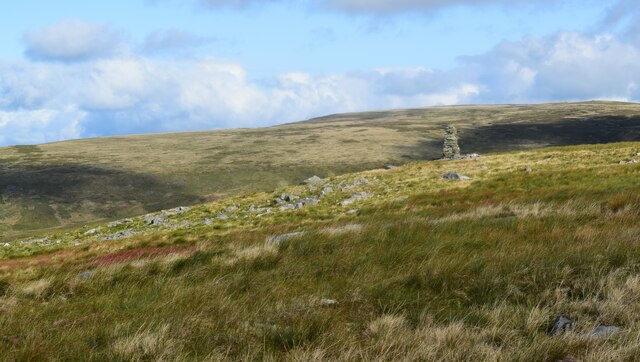
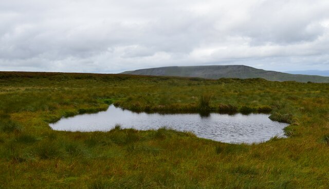
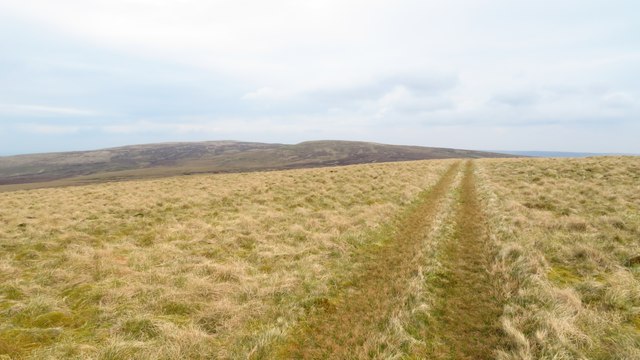
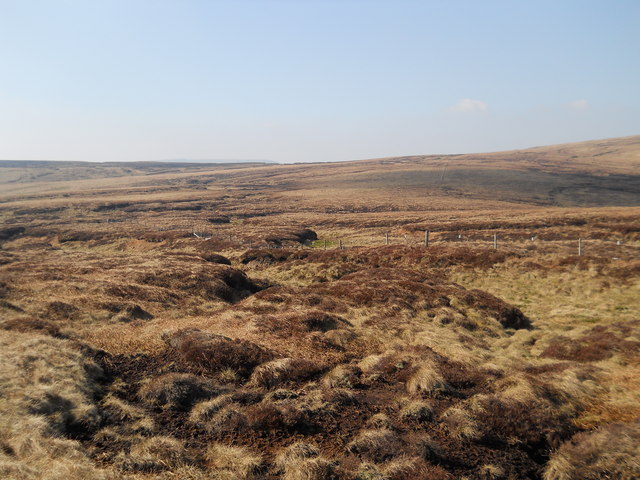
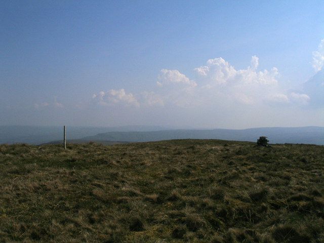
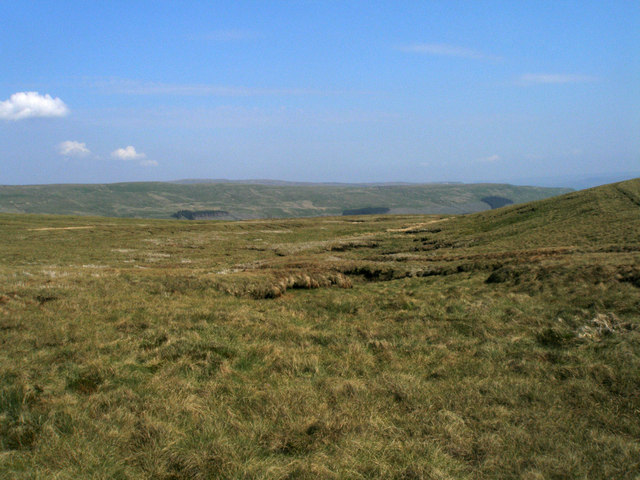
Coal Force Images
Images are sourced within 2km of 54.369481/-2.2805899 or Grid Reference SD8197. Thanks to Geograph Open Source API. All images are credited.


Coal Force is located at Grid Ref: SD8197 (Lat: 54.369481, Lng: -2.2805899)
Division: North Riding
Administrative County: North Yorkshire
District: Richmondshire
Police Authority: North Yorkshire
What 3 Words
///wished.processes.present. Near Kirkby Stephen, Cumbria
Nearby Locations
Related Wikis

Hugh Seat
Hugh Seat is a mountain, or more accurately a fell, in Mallerstang on the eastern edge of Cumbria, England. It lies on the border between Cumbria and North...

Vale of Eden
The Vale of Eden is formed by the course of the River Eden, one of the major rivers of Northwest England. It is however of much greater extent than the...

Great Shunner Fell
Great Shunner Fell is the third-highest mountain in the Yorkshire Dales, North Yorkshire, England, and the highest point in Wensleydale; at 716 metres...

Gregory Chapel
Gregory Chapel is one of the high points of the fells on the border between Cumbria and North Yorkshire. The summit is marked by a nearby sheep shelter...

Cotterdale
Cotterdale is a small side dale and hamlet on the north side of Wensleydale in North Yorkshire, England. The dale lies to the west of Great Shunner Fell...

Lunds, North Yorkshire
Lunds is a hamlet in North Yorkshire, England, near to the watershed of the Eden and Ure rivers. It is on the border between Cumbria and North Yorkshire...

Eden Sike Cave
Eden Sike Cave is a small cave in Mallerstang in the Eden valley in Cumbria, England 400 metres (440 yd) north of Hell Gill. The entrance is 391 metres...

Aisgill
Aisgill is the southernmost of the hamlets that form the parish of Mallerstang in the English county of Cumbria. It is on the B6259 road, at the head of...
Have you been to Coal Force?
Leave your review of Coal Force below (or comments, questions and feedback).