Brockholes Force

Waterfall in Yorkshire Richmondshire

England

Brockholes Force

Cairn on High Seat High Seat is a name that occurs a number of times in the hill country of northern England; this one is at the crest of ground above Mallerstang Edge. The cairn is not quite at the summit of High Seat but a little to the north of it. Rogan's Seat on the north side of Swaledale lies in the distance; the sheet of water is Birkdale Tarn.
Cairn on High Seat Credit: Trevor Littlewood

Brockholes Force is a captivating waterfall located in the picturesque region of Yorkshire, England. Situated near the village of Brockholes, it is a popular attraction for nature enthusiasts and visitors seeking tranquility amidst the scenic landscape.

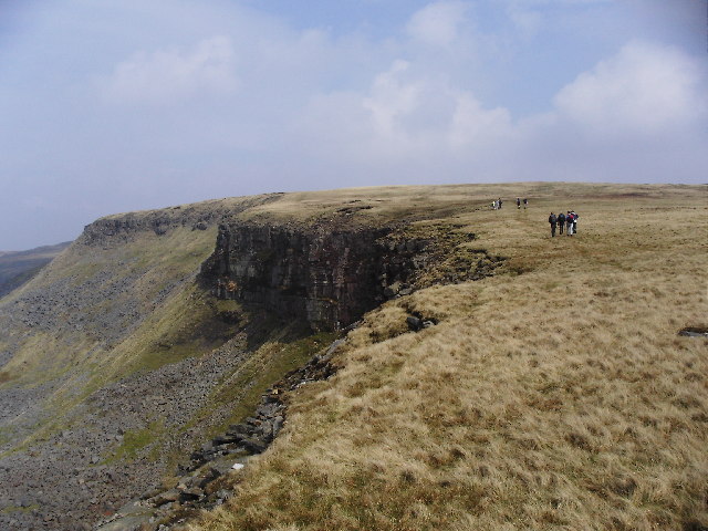
The waterfall is formed by the River Holme as it cascades over a series of rocks and drops approximately 10 meters into a deep pool below. The force of the descending water creates a mesmerizing sight and a soothing sound that adds to the overall charm of the location.

Surrounded by lush greenery and towering trees, Brockholes Force offers a peaceful escape from the hustle and bustle of everyday life. The area is known for its rich biodiversity, with various plant and animal species thriving in the surrounding woodlands. Visitors can often spot birds, such as dippers and kingfishers, darting around the waterfall.

Access to Brockholes Force is relatively easy, with a designated footpath leading directly to the site. The path offers breathtaking views of the waterfall and its surroundings, making it an enjoyable journey for hikers and nature lovers alike.

The waterfall is particularly beautiful after heavy rainfall, when the water flow is at its peak. However, it remains a captivating sight throughout the year, with the changing seasons adding their own unique charm to the landscape.

Overall, Brockholes Force is a natural gem nestled in the heart of Yorkshire, offering a serene and enchanting experience for all who visit.

If you have any feedback on the listing, please let us know in the comments section below.

Brockholes Force Images

Images are sourced within 2km of 54.402699/-2.2874868 or Grid Reference NY8100. Thanks to Geograph Open Source API. All images are credited.

Cairn on High Seat High Seat is a name that occurs a number of times in the hill country of northern England; this one is at the crest of ground above Mallerstang Edge. The cairn is not quite at the summit of High Seat but a little to the north of it. Rogan's Seat on the north side of Swaledale lies in the distance; the sheet of water is Birkdale Tarn.
Cairn on High Seat
High Seat is a name that occurs a number of times in the hill country of northern England; this one is at the crest of ground above Mallerstang Edge. The cairn is not quite at the summit of High Seat but a little to the north of it. Rogan's Seat on the north side of Swaledale lies in the distance; the sheet of water is Birkdale Tarn.
Archy Styrigg A rash of gritstone boulders encountered on the way to Gregory Chapel, one of the high points of Mallerstang Edge. In the background are Wild Boar Fell (right) and Swarth Fell.
Archy Styrigg
A rash of gritstone boulders encountered on the way to Gregory Chapel, one of the high points of Mallerstang Edge. In the background are Wild Boar Fell (right) and Swarth Fell.
Cairn on Gregory Chapel (695m) One of a number of cairns that line the old county boundary between Yorkshire and Westmorland (nowadays Cumbria and North Yorkshire). It is also the current boundary of the Yorkshire Dales National Park. Ironically, the mountain in the background - Wild Boar Fell, one of the finest in the Pennines - is outwith the park.
Cairn on Gregory Chapel (695m)
One of a number of cairns that line the old county boundary between Yorkshire and Westmorland (nowadays Cumbria and North Yorkshire). It is also the current boundary of the Yorkshire Dales National Park. Ironically, the mountain in the background - Wild Boar Fell, one of the finest in the Pennines - is outwith the park.
The northerly cairn on High Seat Not quite the highest point but located on the northern edge of the gentle summit dome. The view is of an endless expanse of snow-speckled moorland extending towards Nine Standards Rigg and the distant North Pennines.
The northerly cairn on High Seat
Not quite the highest point but located on the northern edge of the gentle summit dome. The view is of an endless expanse of snow-speckled moorland extending towards Nine Standards Rigg and the distant North Pennines.
Between High Seat and High Pike Hill 'Ridge' is an ambitious name for the elongated plateau of peaty moorland that extends north behind the facade of Mallerstang Edge. High Pike Hill is the bump on the left with Nine Standards Rigg beyond.
Between High Seat and High Pike Hill
'Ridge' is an ambitious name for the elongated plateau of peaty moorland that extends north behind the facade of Mallerstang Edge. High Pike Hill is the bump on the left with Nine Standards Rigg beyond.
Birkdale Common
Birkdale Common
East of Mallerstang Edge Moorland above Mallerstang Edge, viewed in early April during a break in snow flurries.
East of Mallerstang Edge
Moorland above Mallerstang Edge, viewed in early April during a break in snow flurries.
Moorland south of Gregory Chapel South of Gregory Chapel, Archy Styrigg broadens into a wide and gently sloping moorland forming the headwaters of Hellgill Beck. Hugh Seat, the nearest rise, doesn't form much of a landmark, and Great Shunner Fell seems small and distant.
Moorland south of Gregory Chapel
South of Gregory Chapel, Archy Styrigg broadens into a wide and gently sloping moorland forming the headwaters of Hellgill Beck. Hugh Seat, the nearest rise, doesn't form much of a landmark, and Great Shunner Fell seems small and distant.
Lady's Pillar on Hugh Seat Lovely top with great views.
Lady's Pillar on Hugh Seat
Lovely top with great views.
Cairn on Hugh Seat Lots of old cairns around this area.
Cairn on Hugh Seat
Lots of old cairns around this area.
Lady's Pillar on Hugh Seat
View towards High Seat from Hugh Seat above Mallerstang Common
Gregory Chapel One of the few cairns actually on a topographic feature on the Mallerstang Edge plateau, Gregory Chapel is described on the map as a "pile of stones" rather than a cairn. Physically, it appears no different from what I have always called cairns, so is the distinction one of purpose rather than form? It is certainly visible from a distance, as long as one is already atop the summit ridge - but the top is so rounded and so far from the gritstone edge overlooking the Eden Valley that it would certainly not be visible from there. However, at least the bracing March weather gives better visibility than on my visit at midsummer <a href="https://www.geograph.org.uk/photo/6516626">NY8000 : Gregory Chapel</a>.
Gregory Chapel
One of the few cairns actually on a topographic feature on the Mallerstang Edge plateau, Gregory Chapel is described on the map as a "pile of stones" rather than a cairn. Physically, it appears no different from what I have always called cairns, so is the distinction one of purpose rather than form? It is certainly visible from a distance, as long as one is already atop the summit ridge - but the top is so rounded and so far from the gritstone edge overlooking the Eden Valley that it would certainly not be visible from there. However, at least the bracing March weather gives better visibility than on my visit at midsummer NY8000 : Gregory Chapel.
Gregory Chapel cairn Summit cairn on Gregory Chapel, with the Yorkshire Three Peaks visible on the skyline in the distance.
Gregory Chapel cairn
Summit cairn on Gregory Chapel, with the Yorkshire Three Peaks visible on the skyline in the distance.
Little Sled Dale Ford This is the second of the four fords on the track up to the grouse butts on Little Sleddale.
Little Sled Dale Ford
This is the second of the four fords on the track up to the grouse butts on Little Sleddale.
Little Sled Dale Ford A third ford on the track up to the grouse butts at Little Sled Dale.
Little Sled Dale Ford
A third ford on the track up to the grouse butts at Little Sled Dale.
Little Sled Dale Ford This is the fourth of the four fords on the track by the grouse butts on Little Sled Dale. A photograph from 2009 can be viewed at:
<a title="https://www.geograph.org.uk/photo/1397523" href="https://www.geograph.org.uk/photo/1397523">Link</a>
Little Sled Dale Ford
This is the fourth of the four fords on the track by the grouse butts on Little Sled Dale. A photograph from 2009 can be viewed at: Link
Little Sled Dale Beck Ford This is the first of the fords on the track leading up to the grouse butts on Little Sled Dale.
Little Sled Dale Beck Ford
This is the first of the fords on the track leading up to the grouse butts on Little Sled Dale.
Show me another place!

Brockholes Force is located at Grid Ref: NY8100 (Lat: 54.402699, Lng: -2.2874868)

Division: North Riding

Administrative County: North Yorkshire

District: Richmondshire

Police Authority: North Yorkshire

What 3 Words

///skewed.greet.marketing. Near Kirkby Stephen, Cumbria

Nearby Locations

Brockholes Force

Related Wikis

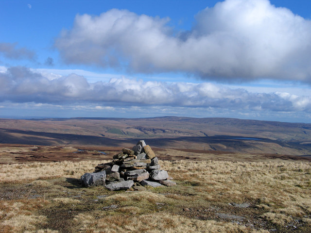
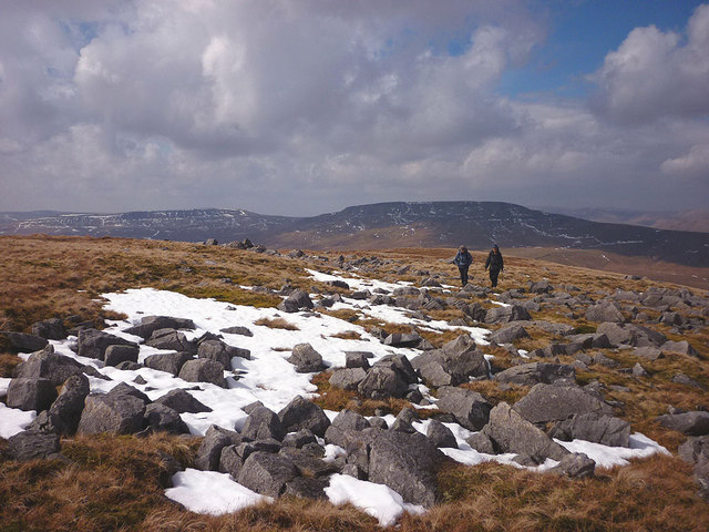
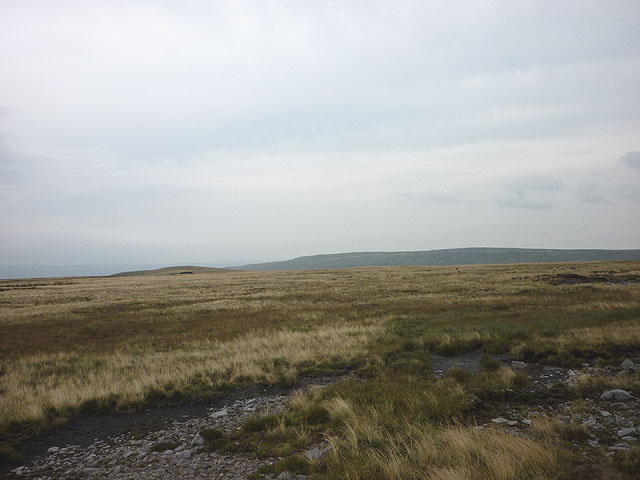
High Seat (Yorkshire Dales)

High Seat is a fell in the dale of Mallerstang, Cumbria. With a summit at 709 metres (2,326 ft), it is the fourth highest fell in the Yorkshire Dales...
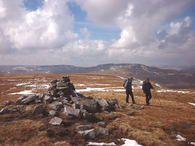
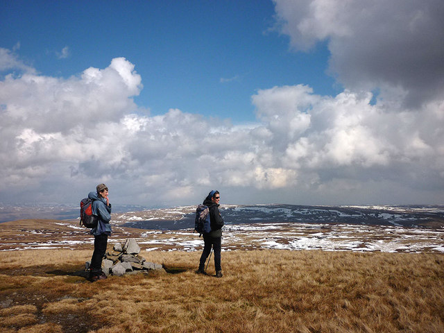
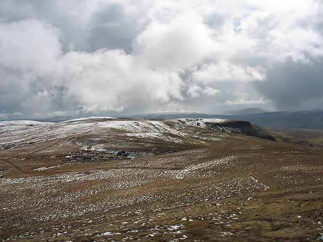
Gregory Chapel

Gregory Chapel is one of the high points of the fells on the border between Cumbria and North Yorkshire. The summit is marked by a nearby sheep shelter...

Vale of Eden

The Vale of Eden is formed by the course of the River Eden, one of the major rivers of Northwest England. It is however of much greater extent than the...
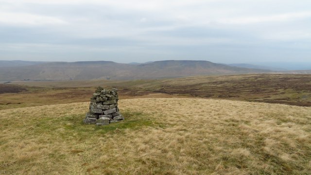
Hugh Seat

Hugh Seat is a mountain, or more accurately a fell, in Mallerstang on the eastern edge of Cumbria, England. It lies on the border between Cumbria and North...

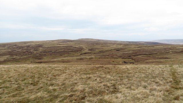
Birkdale, North Yorkshire

Birkdale (sometimes written out as Birk Dale) is a dale in the Yorkshire Dales National Park, in North Yorkshire, England. It lies at the far western end...

Outhgill

Outhgill is a hamlet in Mallerstang, Cumbria, England. It lies about 5 miles (8 km) south of Kirkby Stephen. It is the main hamlet in the dale of Mallerstang...

Mallerstang

Mallerstang is a civil parish in the extreme east of Cumbria, and, geographically, a dale at the head of the upper Eden Valley. Originally part of Westmorland...

Pendragon Castle

Pendragon Castle is a ruin located in Mallerstang Dale, Cumbria, south of Kirkby Stephen, and close to the hamlet of Outhgill (at grid reference NY781025...

Have you been to Brockholes Force?

Leave your review of Brockholes Force below (or comments, questions and feedback).