High Force
Waterfall in Yorkshire Craven
England
High Force

High Force is a magnificent waterfall located in the county of Yorkshire, England. It is situated within the North Pennines Area of Outstanding Natural Beauty, near the village of Forest-in-Teesdale. With a drop of approximately 70 feet (21 meters), High Force is one of the most impressive waterfalls in the region.
The waterfall is formed by the River Tees as it cascades over the Whin Sill, a layer of volcanic rock that runs across the landscape. The force and volume of the water plunging into the plunge pool below create a breathtaking spectacle, especially after periods of heavy rainfall or snowmelt.
Surrounded by lush greenery, High Force offers a picturesque setting for visitors to admire the natural beauty of the area. There are well-maintained footpaths and viewing platforms that allow visitors to safely observe the waterfall from various angles. These vantage points offer stunning views of the river as it rushes over the edge, creating a mesmerizing display of nature's power and beauty.
The area around High Force is also home to a diverse range of flora and fauna, making it a haven for nature enthusiasts. The surrounding woodlands provide habitat for a variety of bird species, while the river supports a population of Atlantic salmon and brown trout.
High Force is not only a popular tourist attraction but also a site of geological and historical significance. It has been a source of inspiration for artists and writers throughout the centuries, and its beauty continues to captivate visitors from around the world.
If you have any feedback on the listing, please let us know in the comments section below.
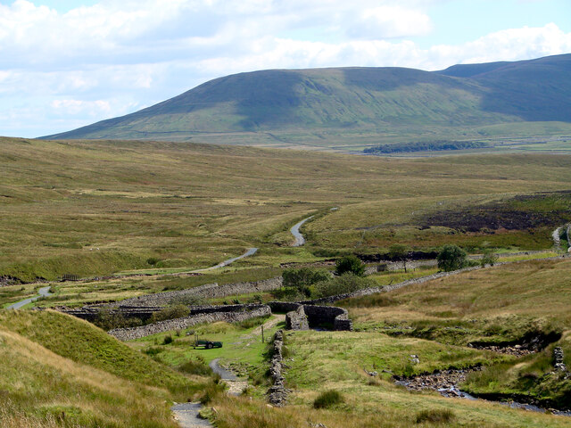
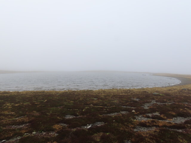
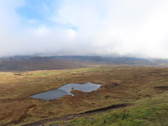
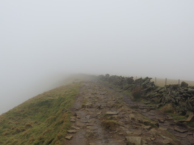
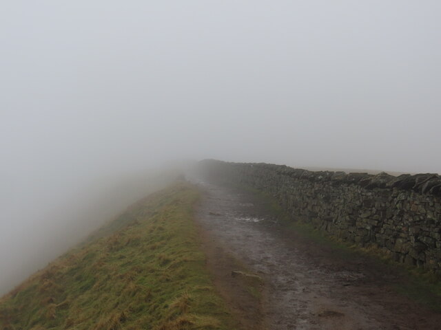
High Force Images
Images are sourced within 2km of 54.235448/-2.3782512 or Grid Reference SD7582. Thanks to Geograph Open Source API. All images are credited.


High Force is located at Grid Ref: SD7582 (Lat: 54.235448, Lng: -2.3782512)
Division: West Riding
Administrative County: North Yorkshire
District: Craven
Police Authority: North Yorkshire
What 3 Words
///clarifies.blurs.serenade. Near Ingleton, North Yorkshire
Nearby Locations
Related Wikis
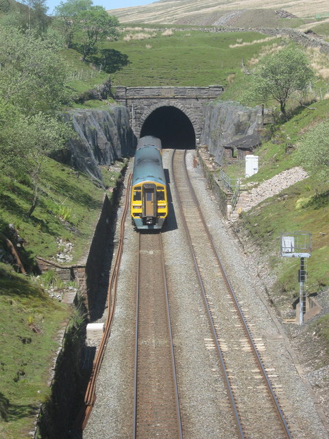
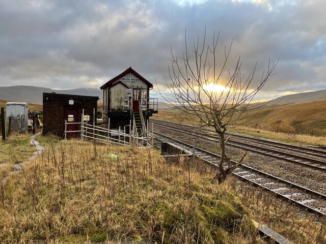
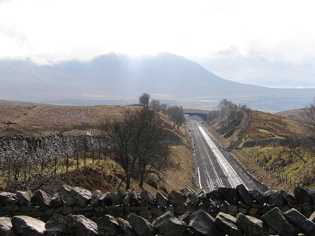
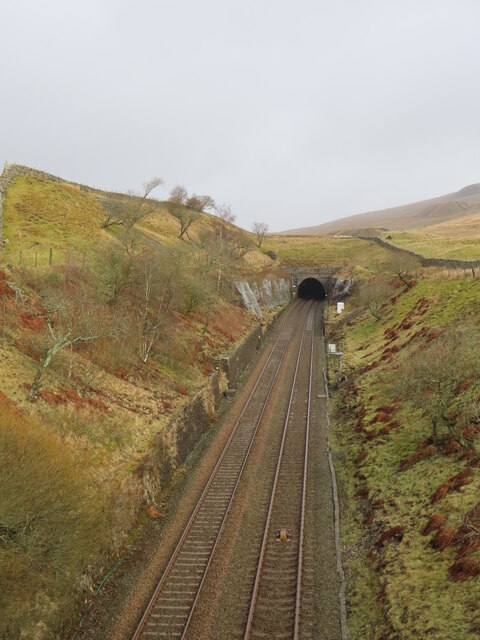
Blea Moor Tunnel
Blea Moor Tunnel is a 2,629 yards (1.494 mi)(2,404 m) railway tunnel located between Ribblehead Viaduct and Dent railway station in England. It is the...

Whernside
Whernside is a mountain in the Yorkshire Dales in Northern England. It is the highest of the Yorkshire Three Peaks, the other two being Ingleborough and...

Ribblehead Viaduct
The Ribblehead Viaduct or Batty Moss Viaduct carries the Settle–Carlisle railway across Batty Moss in the Ribble Valley at Ribblehead, in North Yorkshire...

Dent Head Viaduct
Dent Head Viaduct is a railway viaduct on the Settle–Carlisle line in Dentdale, Cumbria, England. It is the second major viaduct on the line northwards...

Ribblehead
Ribblehead is the area of moorland at the head of the River Ribble in the area known as Ribblesdale, in the Yorkshire Dales National Park, England. Ribblehead...

Ribblehead railway station
Ribblehead is a railway station on the Settle and Carlisle Line, which runs between Carlisle and Leeds via Settle. The station, situated 52 miles 17 chains...

Ribblehead Quarry
Ribblehead Quarry is a former limestone quarry next to Ribblehead railway station in the Yorkshire Dales National Park, North Yorkshire, England. It had...
Thornton in Lonsdale
Thornton in Lonsdale is a village and civil parish in the Craven District and ceremonial county of North Yorkshire in England. It is very close to the...
Nearby Amenities
Located within 500m of 54.235448,-2.3782512Have you been to High Force?
Leave your review of High Force below (or comments, questions and feedback).