Scalehow Force
Waterfall in Westmorland Eden
England
Scalehow Force

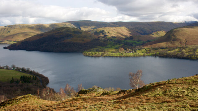
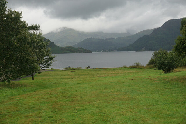
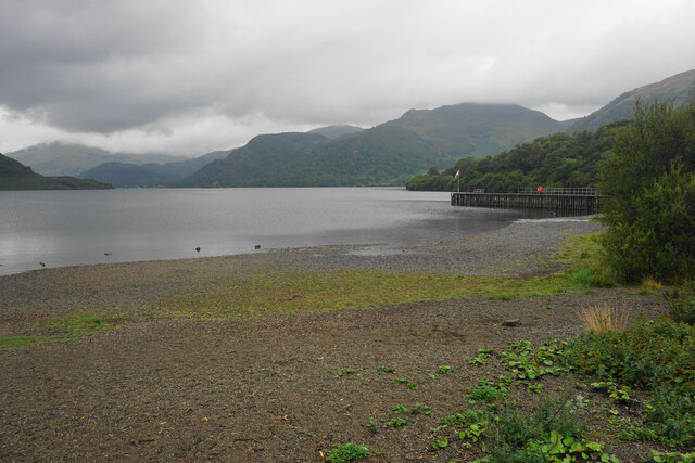
Scalehow Force, located in Westmorland, England, is a breathtaking waterfall nestled within the picturesque Lake District National Park. With a height of approximately 50 feet, this enchanting cascade is a popular attraction for locals and tourists alike.
The waterfall is formed by Scalehow Beck, a small river that flows through the surrounding woodlands, creating a dramatic display of rushing water as it plunges over the rocky cliff face. The force and power of the waterfall are particularly impressive after heavy rainfall, when the water gushes down with tremendous force, producing a thunderous sound that echoes through the valley.
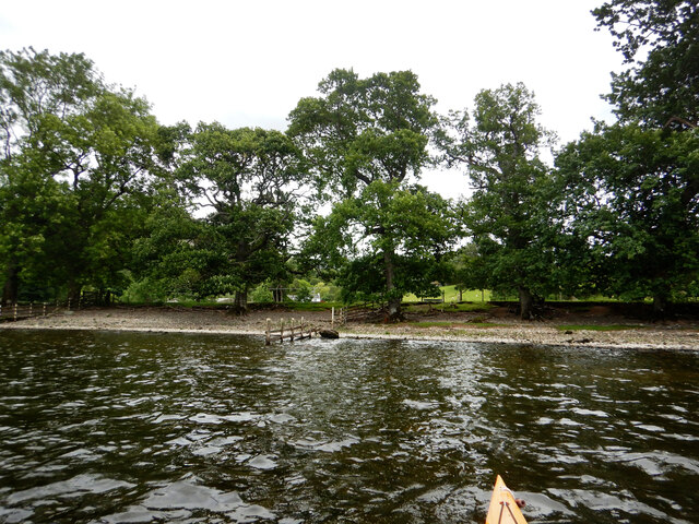
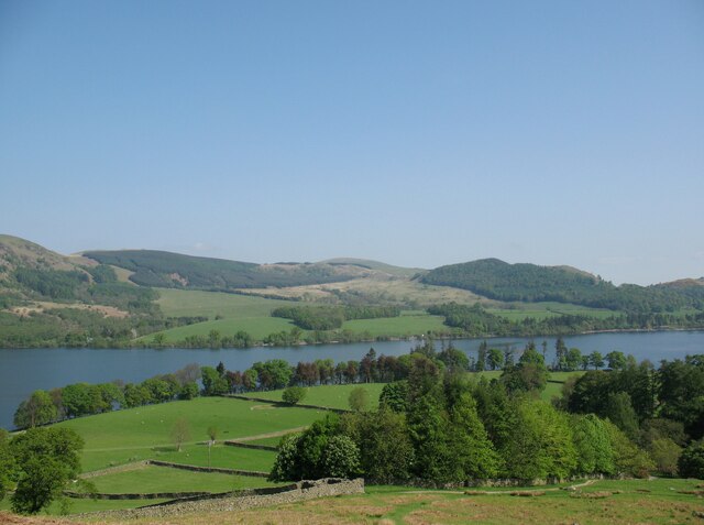
Scalehow Force is surrounded by lush greenery, adding to its natural beauty. The area is abundant in diverse flora and fauna, with the sound of birdsong often accompanying the roar of the waterfall. Moss-covered rocks and ferns further enhance the tranquil atmosphere, providing a serene and idyllic setting for visitors to enjoy.
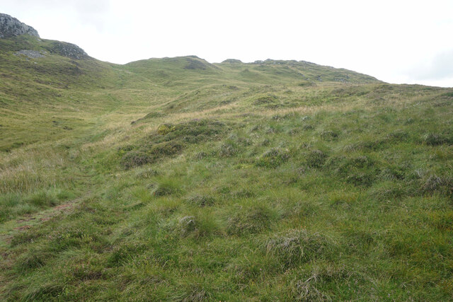
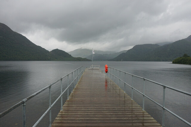
Access to Scalehow Force is relatively easy, with a well-maintained footpath leading from the nearby village. The waterfall is a popular spot for nature enthusiasts, hikers, and photographers who are captivated by its ethereal charm. Additionally, the surrounding area offers opportunities for leisurely walks and exploration of the surrounding countryside.
Scalehow Force is a captivating natural wonder that showcases the stunning beauty of Westmorland. Its grandeur and tranquility make it a must-visit destination for those seeking solace amidst nature's wonders.
If you have any feedback on the listing, please let us know in the comments section below.
Scalehow Force Images
Images are sourced within 2km of 54.563031/-2.9071493 or Grid Reference NY4119. Thanks to Geograph Open Source API. All images are credited.


![Low Moss Sheepfold For further info see ‘Heritage Gateway - Results’. 2012. Heritagegateway.org.uk <span class="nowrap"><a title="https://www.heritagegateway.org.uk/Gateway/Results_Single.aspx?uid=2886841&amp;resourceID=801" rel="nofollow ugc noopener" href="https://www.heritagegateway.org.uk/Gateway/Results_Single.aspx?uid=2886841&amp;resourceID=801">Link</a><img style="margin-left:2px;" alt="External link" title="External link - shift click to open in new window" src="https://s1.geograph.org.uk/img/external.png" width="10" height="10"/></span> [accessed 12 October 2022]](https://s2.geograph.org.uk/geophotos/07/30/98/7309854_3fd07f8b.jpg)


Scalehow Force is located at Grid Ref: NY4119 (Lat: 54.563031, Lng: -2.9071493)
Administrative County: Cumbria
District: Eden
Police Authority: Cumbria
What 3 Words
///estuaries.valued.full. Near Ambleside, Cumbria
Nearby Locations
Related Wikis
Boredale
Boredale sometimes known as Boardale, is a valley within Lake District National Park, in Cumbria, England. The valley is close to the eastern shore of...

Martindale, Cumbria
Martindale is a valley, village and civil parish in Cumbria, England, situated within the Lake District National Park between the lakes of Ullswater and...
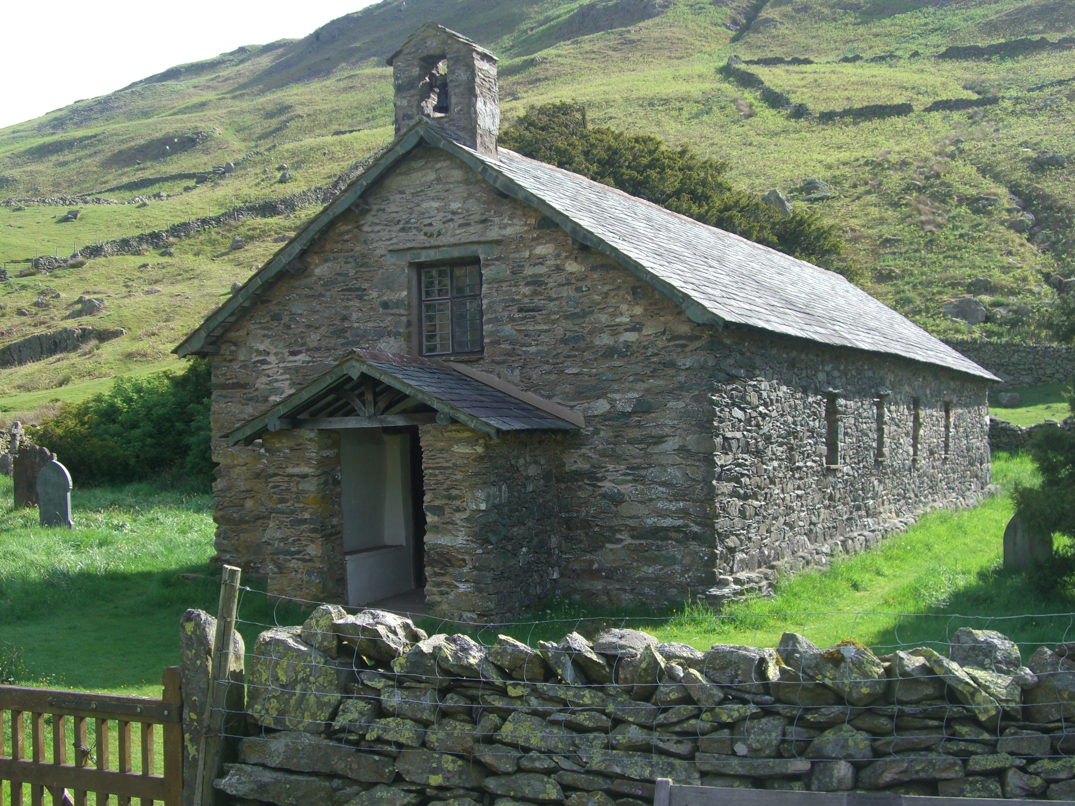
St Martin's Church, Martindale
St Martin's Church, Martindale is located in the valley of Martindale in Cumbria, England. It is often referred to as the "Old Church" to avoid confusion...

Aira Force
Aira Force is a waterfall in the English Lake District, in the civil parish of Matterdale and the county of Cumbria. The site of the waterfall is owned...
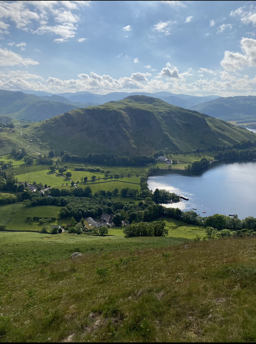
Hallin Fell
Hallin Fell is a hill in the English Lake District surrounded on three sides by Ullswater. == Topography == The fell is a continuation of the ridge leading...
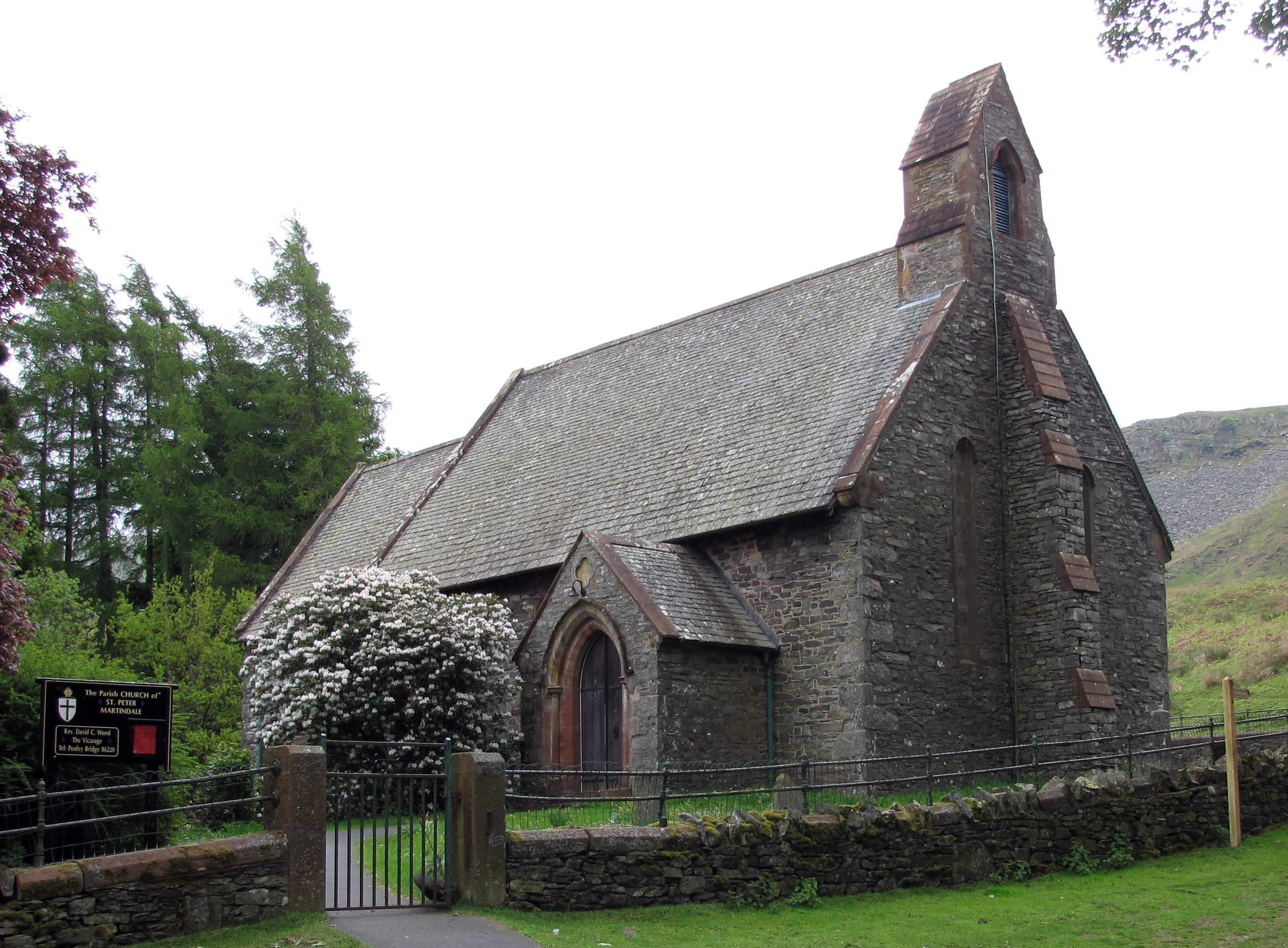
St Peter's Church, Martindale
St Peter’s Church is situated in the valley of Martindale in Cumbria, England. The church is located at the top of the hause on the minor road between...
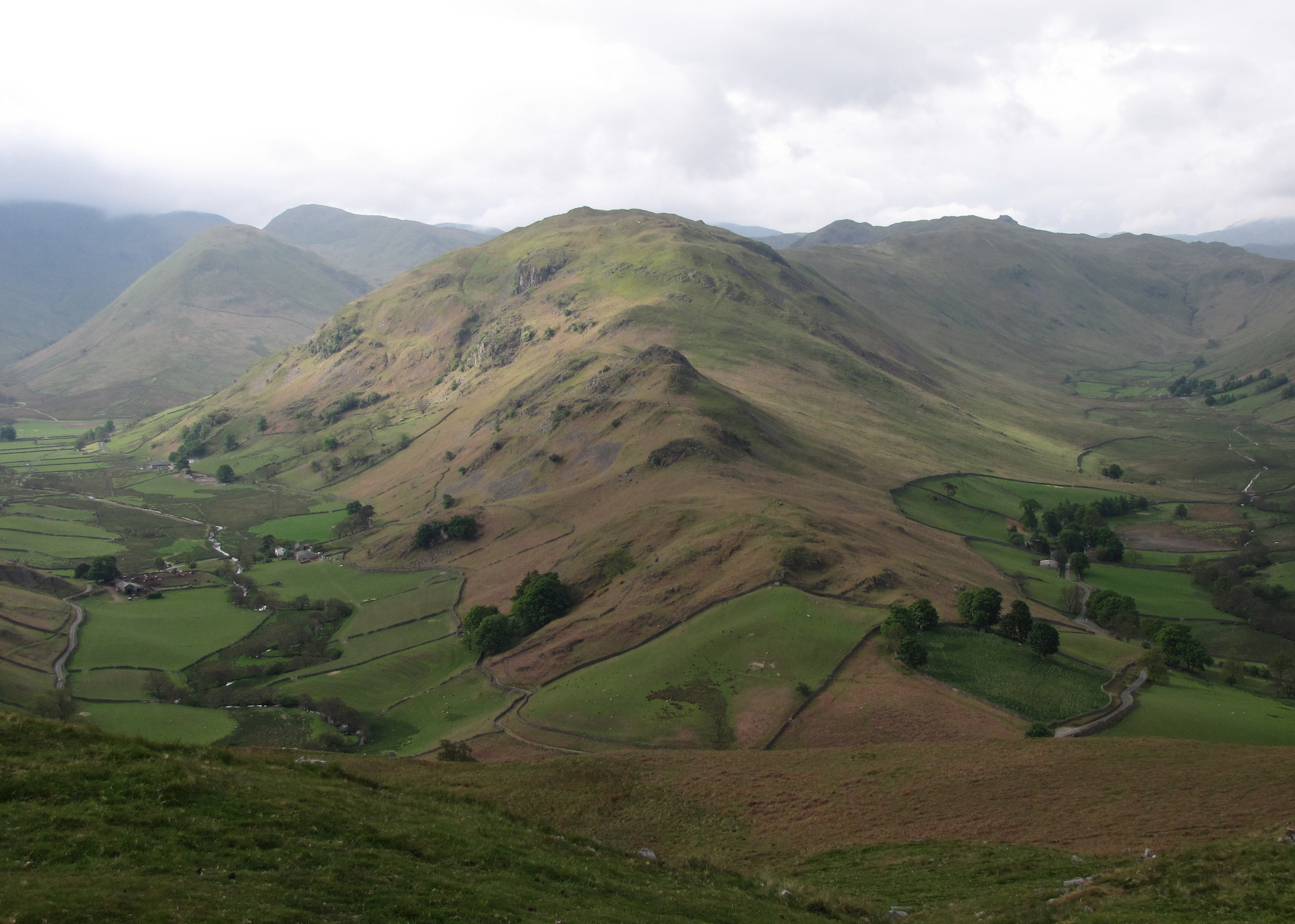
Beda Fell
Beda Fell is a fell in the English Lake District, situated to the south of Ullswater. It divides the valleys of Boredale and Bannerdale within the Martindale...

Place Fell
Place Fell is a hill in the English Lake District. It stands at the corner of the upper and middle reaches of Ullswater, with steep western flanks overlooking...
Nearby Amenities
Located within 500m of 54.563031,-2.9071493Have you been to Scalehow Force?
Leave your review of Scalehow Force below (or comments, questions and feedback).