Spout Hoich
Waterfall in Perthshire
Scotland
Spout Hoich
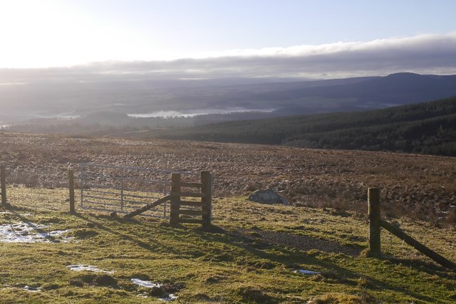
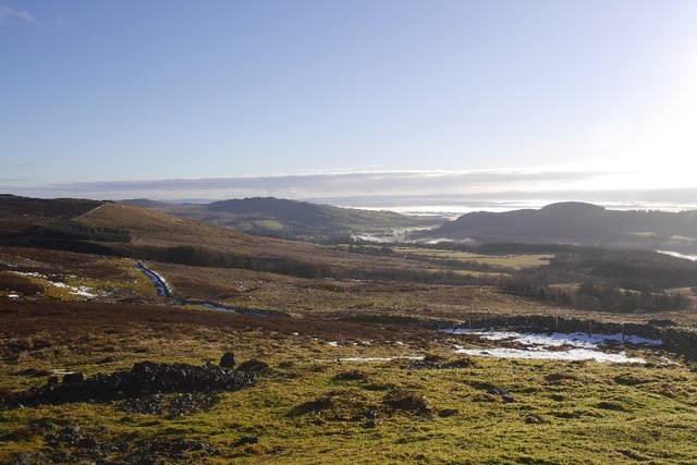
Spout Hoich is a mesmerizing waterfall located in Perthshire, Scotland. Nestled amidst the picturesque scenery of the Scottish Highlands, this natural wonder offers a breathtaking sight for visitors and locals alike.
Situated in a remote location, Spout Hoich can be found near the village of Aberfeldy, within the enchanting forests of Craigvinean. It is accessed via a short but invigorating hike along a well-maintained trail, making it an ideal destination for nature enthusiasts and hikers.
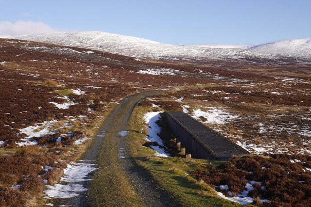
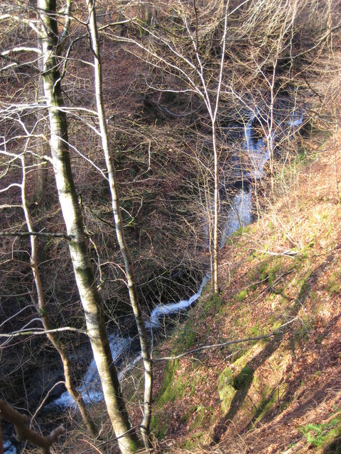
The waterfall cascades down a steep gorge, creating a stunning spectacle as the water plunges into a tranquil pool below. The height of Spout Hoich is estimated to be approximately 30 feet, and its flow varies depending on the season and weather conditions. During heavy rainfall, the waterfall transforms into a majestic torrent, adding to its allure and power.
Surrounded by lush greenery and ancient trees, Spout Hoich offers a serene and peaceful atmosphere. The surrounding area is rich in biodiversity, with a variety of plants and wildlife thriving in this pristine environment. Visitors may have the opportunity to spot native bird species, including the elusive golden eagle.
Spout Hoich is a hidden gem that provides a tranquil escape from the hustle and bustle of city life. Whether you are seeking a peaceful retreat or an adventure in nature, this breathtaking waterfall is a must-visit destination in Perthshire, Scotland.
If you have any feedback on the listing, please let us know in the comments section below.
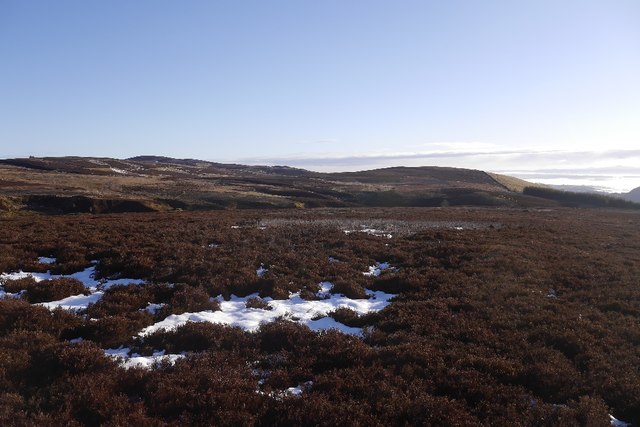
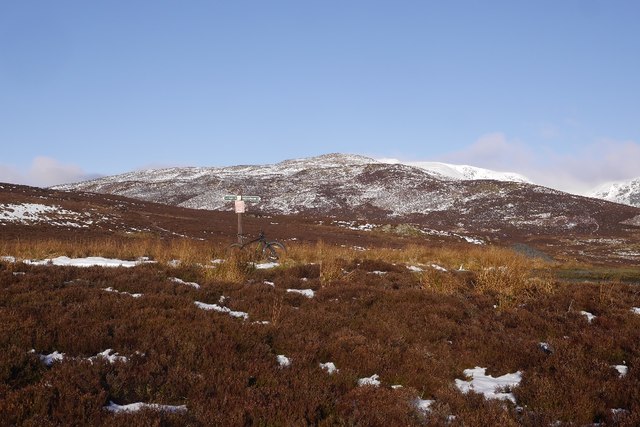
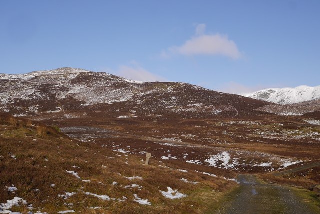
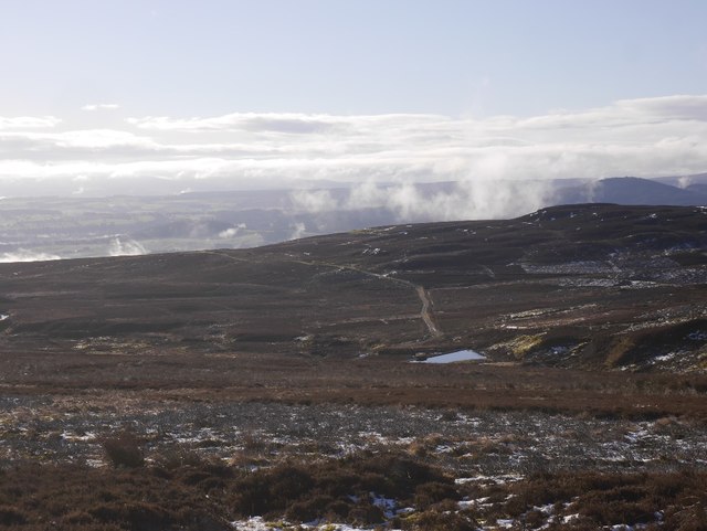
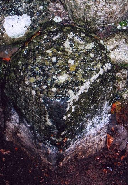
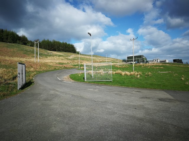
Spout Hoich Images
Images are sourced within 2km of 56.397686/-3.8820844 or Grid Reference NN8324. Thanks to Geograph Open Source API. All images are credited.
Spout Hoich is located at Grid Ref: NN8324 (Lat: 56.397686, Lng: -3.8820844)
Unitary Authority: Perth and Kinross
Police Authority: Tayside
What 3 Words
///cashew.objective.chosen. Near Crieff, Perth & Kinross
Nearby Locations
Related Wikis

Falls of Turret
Falls of Turret is a waterfall of Scotland. == See also == Waterfalls of Scotland == References ==

Ochtertyre
Ochtertyre is a country house and estate in Perth and Kinross, Scotland. It is located in Strathearn, between Crieff and Loch Turret, north of the A85...

Monzievaird
Monzievaird () is a place in Scotland, situated 2 miles (3 km) west of Crieff in Highland District of Perth and Kinross. The village of Monzie; (pronounced...
Falls of Barvick
Falls of Barvick is a waterfall in Scotland. It is 492 feet (150 m) at its highest point and has an average width of 20 feet (6.1 m). It is a cascades...

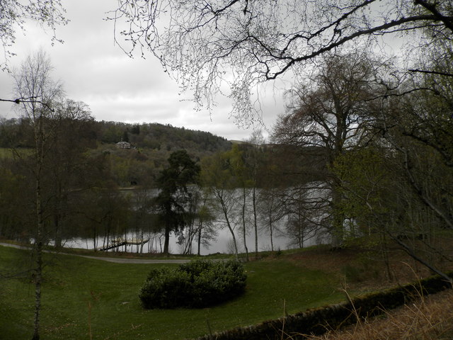
Loch Monzievaird
Loch Monzievaird (Scottish Gaelic: Loch Moighidh a' Bhàird) is a loch in Scotland, located in the region of Perthshire. == History == King Kenneth III...
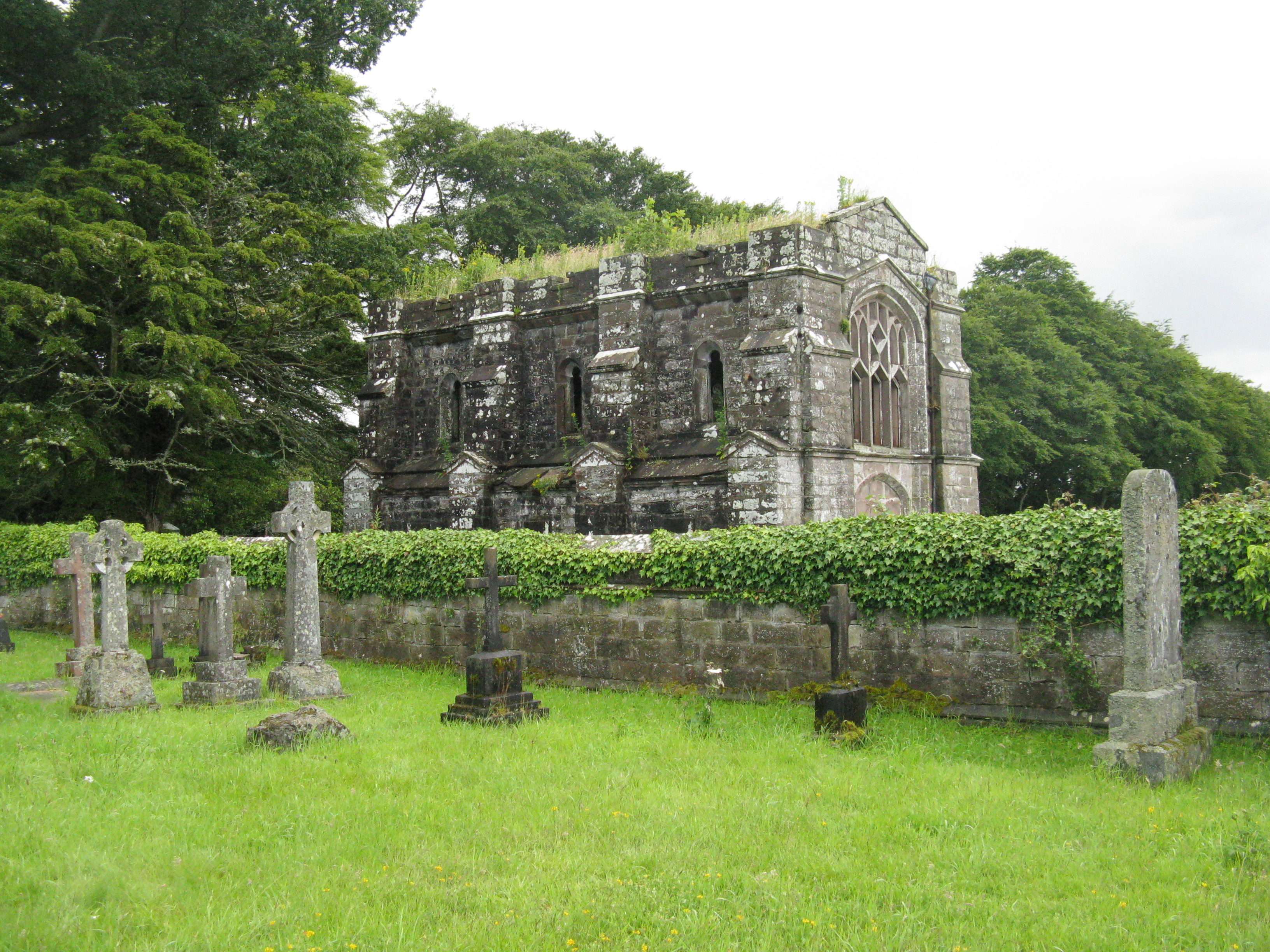
Massacre of Monzievaird
The Scottish Highland Massacre of Monzievaird took place on 21 October 1490, at the church of Monzievaird, at Ochtertyre, near Hosh in Perthshire. Some...

Battle of Knock Mary
The Battle of Knockmary (or Battle of Rottenreoch) was a Scottish clan battle fought in 1511, or 1490 between the Clan Murray against the Clan Drummond...

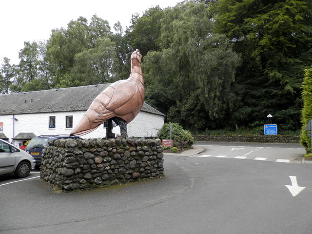
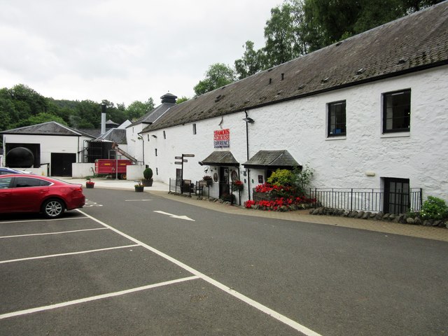
Glenturret distillery
Glenturret distillery is two miles (three kilometres) northwest of Crieff in Perthshire, Scotland on the banks of the Turret River. The distillery is...
Nearby Amenities
Located within 500m of 56.397686,-3.8820844Have you been to Spout Hoich?
Leave your review of Spout Hoich below (or comments, questions and feedback).