Llynfell Falls
Waterfall in Brecknockshire
Wales
Llynfell Falls
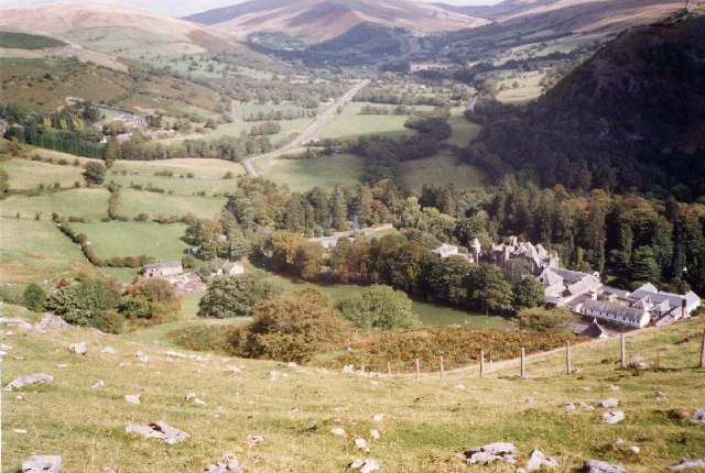
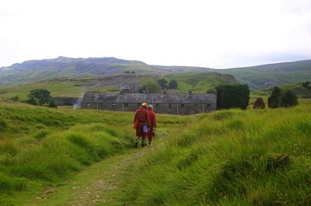
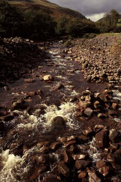
Llynfell Falls, located in Brecknockshire, Wales, is a picturesque waterfall that offers visitors a stunning natural spectacle. Situated in the Brecon Beacons National Park, it is surrounded by lush greenery and rugged terrain, creating a captivating setting for nature enthusiasts and hikers alike.
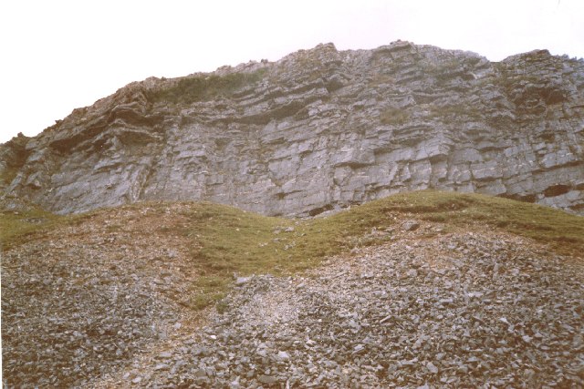
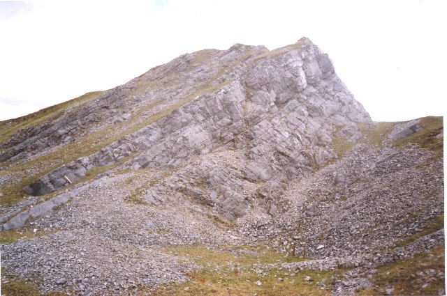
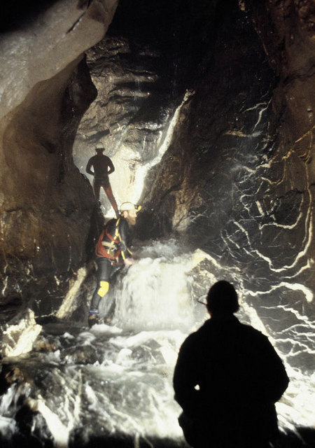
The waterfall is formed by the River Llynfell as it cascades down a series of rocky steps, creating a mesmerizing display of rushing water and mist. It is most impressive after periods of heavy rain when the river is at its fullest, showcasing the true power and beauty of nature. The falls are particularly breathtaking during the spring and autumn seasons when the surrounding foliage adds vibrant colors to the landscape.
Access to Llynfell Falls is relatively easy, with a well-maintained footpath leading visitors to the site. The path winds through the enchanting woodland, offering glimpses of wildlife and providing ample opportunities for birdwatching. The area surrounding the falls is also a popular spot for picnics, allowing visitors to relax and enjoy the peaceful ambiance.
For the more adventurous, Llynfell Falls offers the opportunity for wild swimming and rock climbing. However, caution is advised, as the rocks can be slippery and the water can be fast-flowing.
Overall, Llynfell Falls is a hidden gem in Brecknockshire, offering a natural oasis for those seeking tranquility and a deep connection with nature. Its unique beauty and accessibility make it a must-visit destination for anyone exploring the Brecon Beacons area.
If you have any feedback on the listing, please let us know in the comments section below.
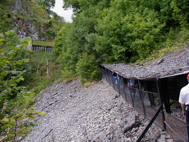
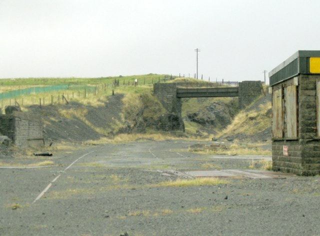
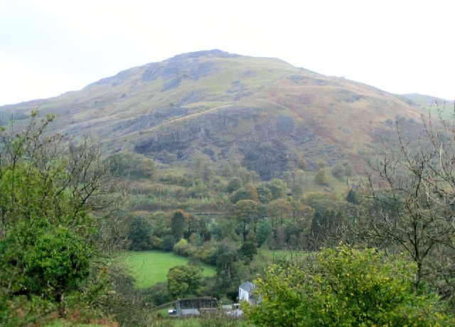
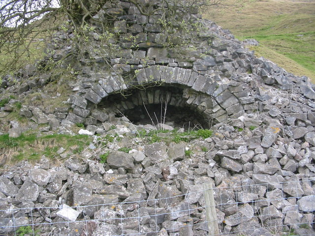
Llynfell Falls Images
Images are sourced within 2km of 51.830743/-3.6863405 or Grid Reference SN8316. Thanks to Geograph Open Source API. All images are credited.
Llynfell Falls is located at Grid Ref: SN8316 (Lat: 51.830743, Lng: -3.6863405)
Unitary Authority: Powys
Police Authority: Dyfed Powys
What 3 Words
///recur.beaten.invisible. Near Seven Sisters, Neath Port Talbot
Nearby Locations
Related Wikis

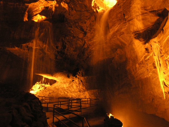
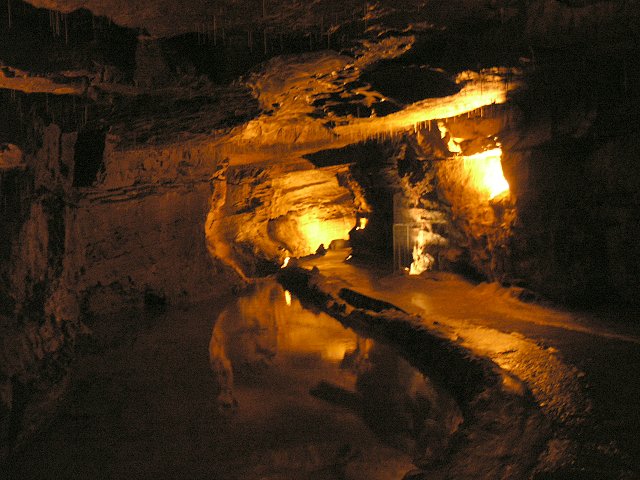
Dan yr Ogof
Dan yr Ogof (Welsh pronunciation: [ˈdan ər ˈoːɡɔv]), at the National Showcaves Centre for Wales, is a 17-kilometre (11 mi) long cave system in south Wales...
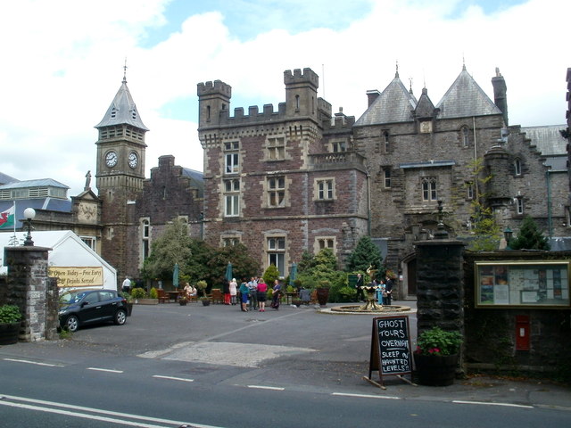
Craig-y-Nos Castle
Craig-y-nos Castle (meaning:Rock of the Night), is a Scots baronial-style country house near Glyntawe in Powys, Wales. Built on parkland beside the River...

Pwll Dwfn
Pwll Dwfn (English: deep pit, pronounced [pʊɬˈdʊvn]) is a cave in the Black Mountain, South Wales. It is located in a dry valley northwest of Dan yr Ogof...
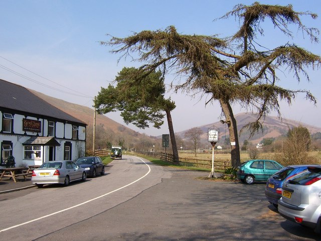
Glyntawe
Glyntawe is a hamlet and parish on the upper reaches of the River Tawe in Powys, Wales, in the community of Tawe-Uchaf. It has always been sparsely populated...

River Haffes
The Afon Haffes is a river in Powys, Wales and is wholly contained within the Brecon Beacons National Park (Welsh: Parc Cenedlaethol Bannau Brycheiniog...

Penwyllt
Penwyllt (Welsh: "wild headland") is a hamlet located in the upper Swansea Valley in Powys, Wales, lying within the Brecon Beacons National Park. A former...

Craig-y-nos railway station
Craig-y-nos railway station was a station in Penwyllt, Powys, Wales. The station was opened in 1867 and closed in 1962. The station building, built in...
Ogof Ffynnon Ddu
Ogof Ffynnon Ddu (Welsh for cave of the black spring), also known informally as OFD, is a cave under a hillside in the area surrounding Penwyllt in the...
Nearby Amenities
Located within 500m of 51.830743,-3.6863405Have you been to Llynfell Falls?
Leave your review of Llynfell Falls below (or comments, questions and feedback).