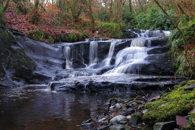
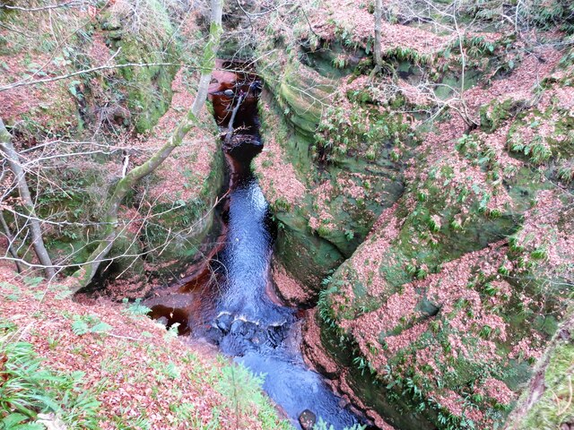
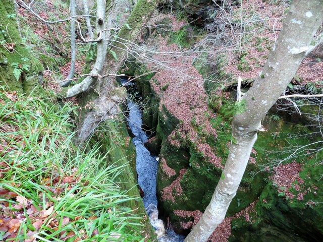
Dualt Spout

Waterfall in Stirlingshire

Scotland

Dualt Spout

Blane Bridge Spans the Blane Water
Blane Bridge Credit: Chris Upson

The requested URL returned error: 429 Too Many Requests

If you have any feedback on the listing, please let us know in the comments section below.
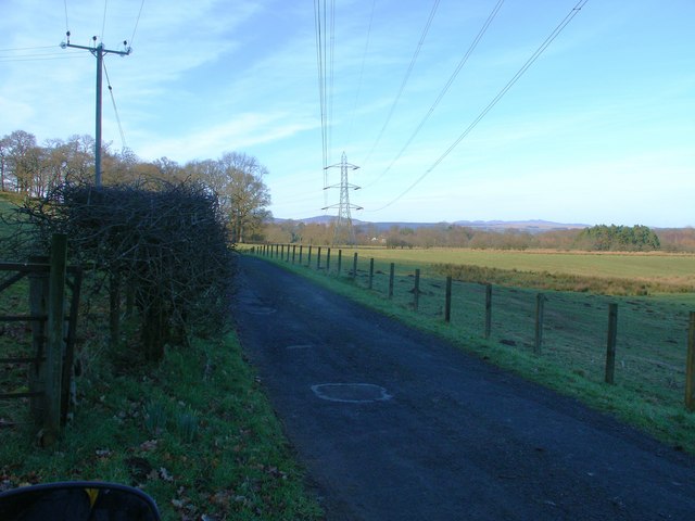
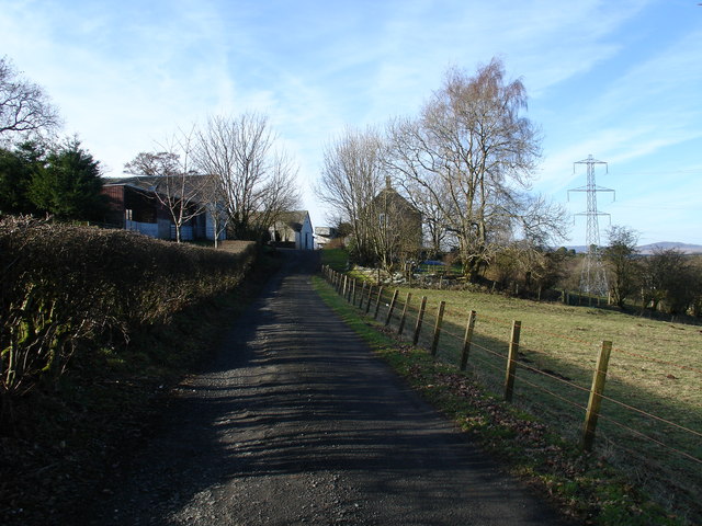
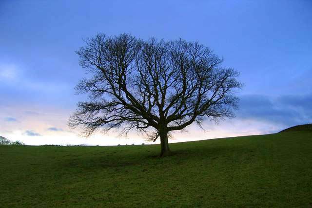
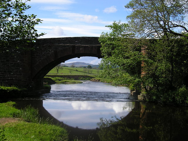
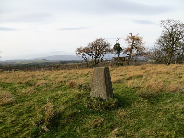
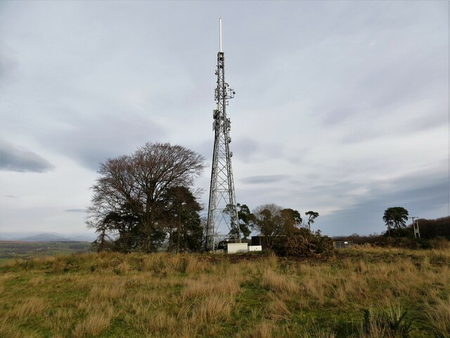
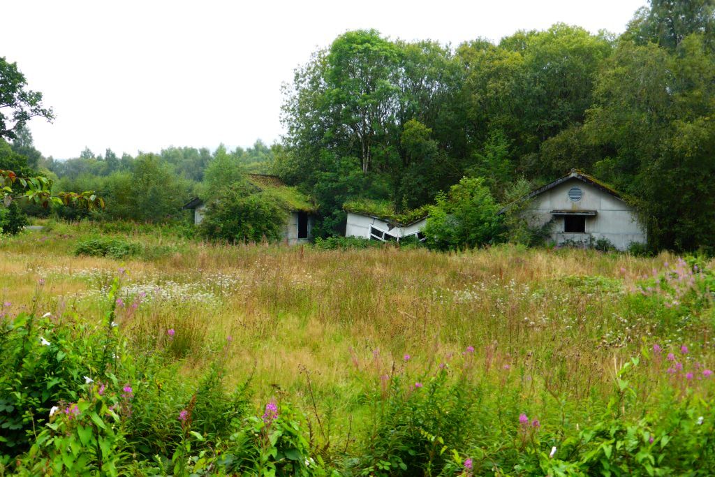
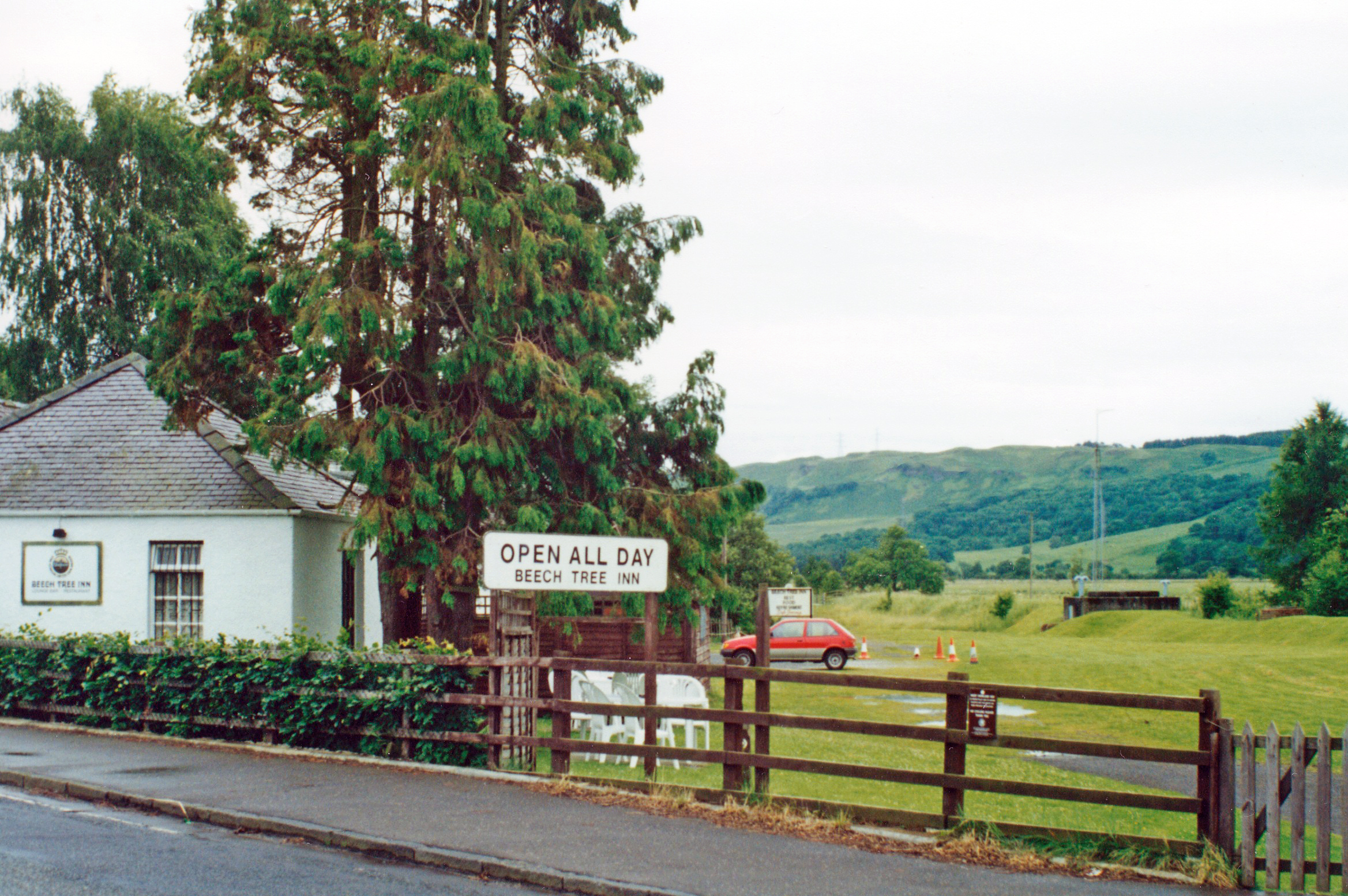
Dualt Spout Images

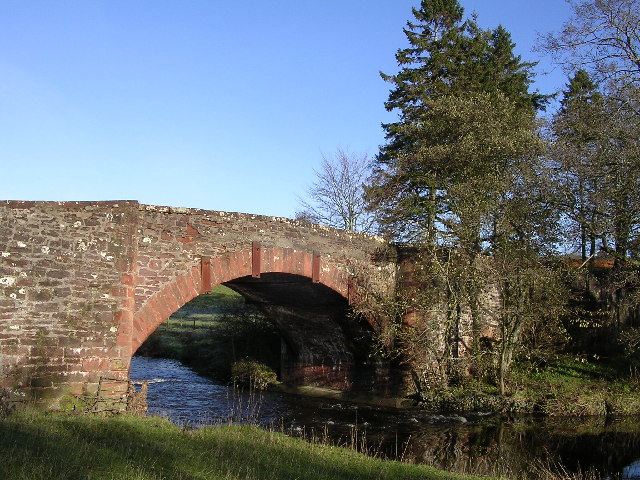
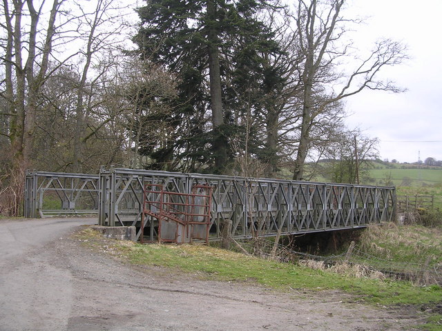
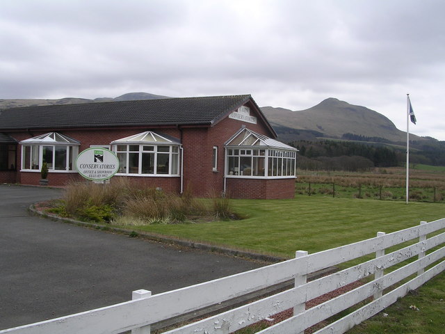
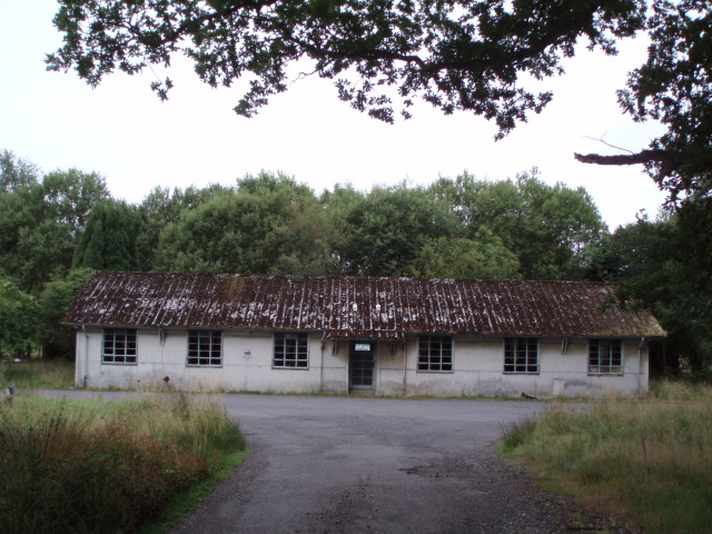
Images are sourced within 2km of 56.027469/-4.4067553 or Grid Reference NS5084. Thanks to Geograph Open Source API. All images are credited.

Blane Bridge Spans the Blane Water
Blane Bridge
Spans the Blane Water
Last House in Killearn Before hitting open countryside to the south west
Last House in Killearn
Before hitting open countryside to the south west
Drymen Road at Stockiemuir The farm junction is for Stockiemuir Farm
Drymen Road at Stockiemuir
The farm junction is for Stockiemuir Farm
Moss Bridge, near Dumgoyne The bridge spans the Blane Water which flows through Strathblane
Moss Bridge, near Dumgoyne
The bridge spans the Blane Water which flows through Strathblane
Cairn Conservatories, near Dumgoyne Conservatory sales centre on very dangerous bend in the A81. Site of several serious and fatal road accidents.
Cairn Conservatories, near Dumgoyne
Conservatory sales centre on very dangerous bend in the A81. Site of several serious and fatal road accidents.
Derelict Buildings Derelict buildings to the east of Killearn House. A new roundabout has just been built opposite.
Derelict Buildings
Derelict buildings to the east of Killearn House. A new roundabout has just been built opposite.
Blaneswell Pylons
Blaneswell Pylons
Carston Farm
Carston Farm
Honeysuckle on the edge of the West Highland Way Honeysuckle on the edge of the West Highland Way near Laighparks.
Honeysuckle on the edge of the West Highland Way
Honeysuckle on the edge of the West Highland Way near Laighparks.
Stockiemuir oak tree Oak tree against a cold December sky.
Stockiemuir oak tree
Oak tree against a cold December sky.
Dualt Burn waterfall Waterfall on the Dualt Burn, Stockiemuir, Stirlingshire
Dualt Burn waterfall
Waterfall on the Dualt Burn, Stockiemuir, Stirlingshire
The Blane Bridge A lovely perfectly formed bridge over the River Blane before it meets the Endrick.
The Blane Bridge
A lovely perfectly formed bridge over the River Blane before it meets the Endrick.
Aucheneck trig pillar
T. V. relay mast for the Killearn area
Gorge in Finnich Glen
Carnock Burn flowing through the gorge in Finnoch Glen
The West Highland Way near Killearn Only a very short section of the route lies within this grid square. The few buildings that can be seen ahead, to the right of the path, are at <a href="https://www.geograph.org.uk/photo/2501673">NS5184 : Lettreburn</a>, on the south-western outskirts of Killearn.
The West Highland Way near Killearn
Only a very short section of the route lies within this grid square. The few buildings that can be seen ahead, to the right of the path, are at NS5184 : Lettreburn, on the south-western outskirts of Killearn.
Field boundary The photograph was taken from <a href="https://www.geograph.org.uk/photo/2500942">NS5284 : The West Highland Way near Killearn</a>.
Field boundary
The photograph was taken from NS5284 : The West Highland Way near Killearn.
Show me another place!

Dualt Spout is located at Grid Ref: NS5084 (Lat: 56.027469, Lng: -4.4067553)

Unitary Authority: Stirling

Police Authority: Forth Valley

What 3 Words

///stickler.respected.goats. Near Killearn, Stirling

Nearby Locations

Dualt Glen Dualt Spout

Related Wikis

Finnich Glen

Finnich Glen in Stirlingshire, is a short, steep glen up to 70 ft deep which runs east from Finnich Bridge on the A809. It was carved from the red sandstone...

Killearn Hospital

Killearn Hospital was a health facility at Killearn in the Stirling council area of Scotland. == History == The hospital was established as one of seven...

Killearn railway station

Killearn railway station served the village of Killearn, Stirling, Scotland from 1882 to 1951 on the Blane Valley Railway. == History == The station opened...

Dumgoyne railway station

Dumgoyne railway station served the village of Killearn, Stirling, Scotland from 1867 to 1951 on the Blane Valley Railway. == History == The station was...

Nearby Amenities

Located within 500m of 56.027469,-4.4067553
Design: barrel
Power: tower
Lat/Long: 56.0298052/-4.405432
Design: barrel
Power: tower
Lat/Long: 56.0279569/-4.400885
Dualt Spout
Height: 3
Waterway: waterfall
Width: 3
Wikidata: Q5310271
Lat/Long: 56.0274705/-4.4067938
Turning Circle
Lat/Long: 56.0257299/-4.4007547
Power: pole
Lat/Long: 56.0278491/-4.4138415
Power: pole
Lat/Long: 56.0273839/-4.4146949
Power: pole
Lat/Long: 56.0275744/-4.4128102
Power: pole
Lat/Long: 56.0273138/-4.4118146
Power: pole
Lat/Long: 56.0270379/-4.4107729
Power: pole
Lat/Long: 56.0267621/-4.40975
Power: pole
Lat/Long: 56.026492/-4.4087355
Power: pole
Lat/Long: 56.0262045/-4.4076792
Power: pole
Lat/Long: 56.0263214/-4.4067756
Power: pole
Lat/Long: 56.0264874/-4.4054912
Power: pole
Lat/Long: 56.0266311/-4.4044705
Power: pole
Lat/Long: 56.0267702/-4.4034162
Power: pole
Lat/Long: 56.0269187/-4.4021173
Power: pole
Lat/Long: 56.0270589/-4.4008622
Power: pole
Lat/Long: 56.0271817/-4.3998059
Power: pole
Lat/Long: 56.0275814/-4.3992788
Power: pole
Lat/Long: 56.0279391/-4.398852
The data included in this document is from www.openstreetmap.org. The data is made available under ODbL.

Have you been to Dualt Spout?

Leave your review of Dualt Spout below (or comments, questions and feedback).