Dualt Glen
Valley in Stirlingshire
Scotland
Dualt Glen
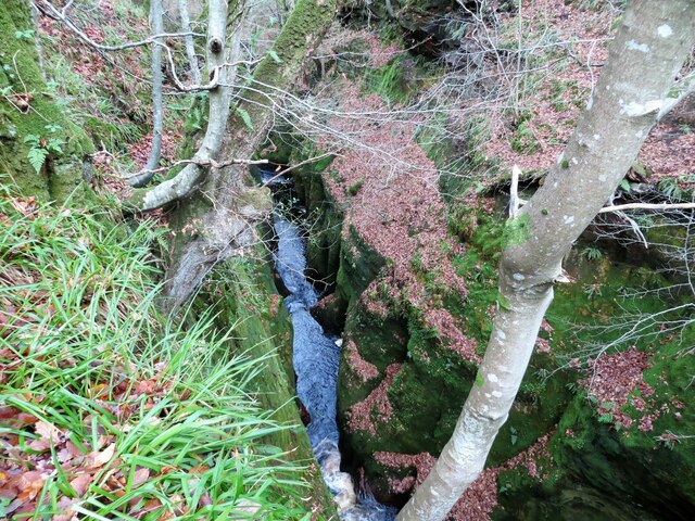
Dualt Glen is a picturesque valley located in Stirlingshire, Scotland. Nestled amidst the stunning landscapes of the Scottish Highlands, this enchanting glen is renowned for its natural beauty and rich history. The glen is situated near the village of Aberfoyle and lies within the boundaries of the Loch Lomond and The Trossachs National Park.
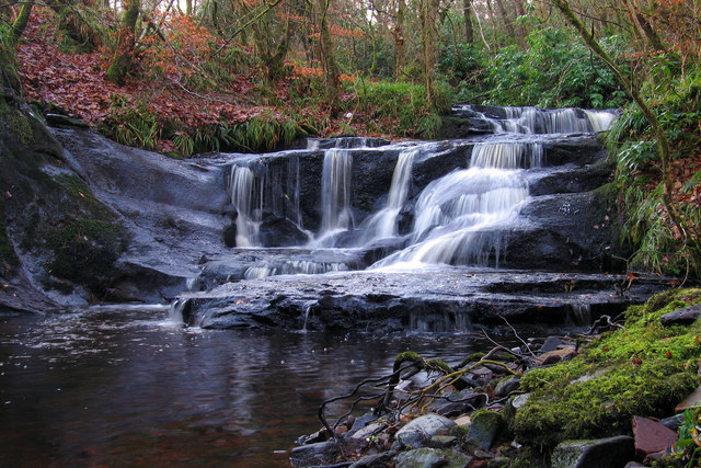
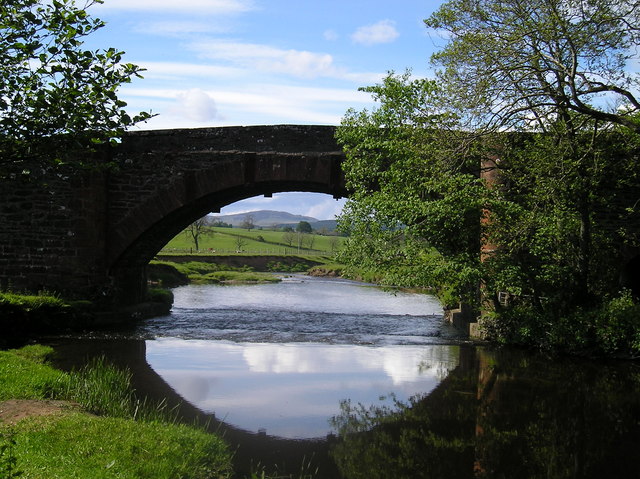
Winding through the glen is the Dualt Burn, a small river that adds to the charm of the area. Lush greenery blankets the valley, with dense forests of oak, birch, and pine trees covering the surrounding hillsides. The glen is also home to a diverse range of wildlife, including red deer, foxes, and various bird species.
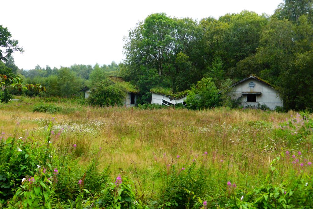
Dualt Glen has long been a hub for outdoor enthusiasts, offering a multitude of activities for visitors to enjoy. Hiking and walking trails crisscross the glen, providing breathtaking views of the surrounding mountains and the sparkling waters of Loch Ard. The glen is also a popular spot for fishing, with the Dualt Burn teeming with salmon and trout.
History buffs will find plenty to explore in Dualt Glen as well. The valley is dotted with ancient ruins, including standing stones and burial cairns, which offer a glimpse into the area's past. The glen also played a significant role during the Scottish Wars of Independence, with several battles and skirmishes taking place in the vicinity.
Overall, Dualt Glen is a captivating destination that combines natural beauty with a rich historical heritage. Its stunning landscapes and abundant outdoor activities make it a must-visit location for nature lovers and history enthusiasts alike.
If you have any feedback on the listing, please let us know in the comments section below.
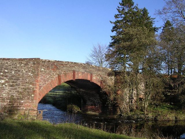
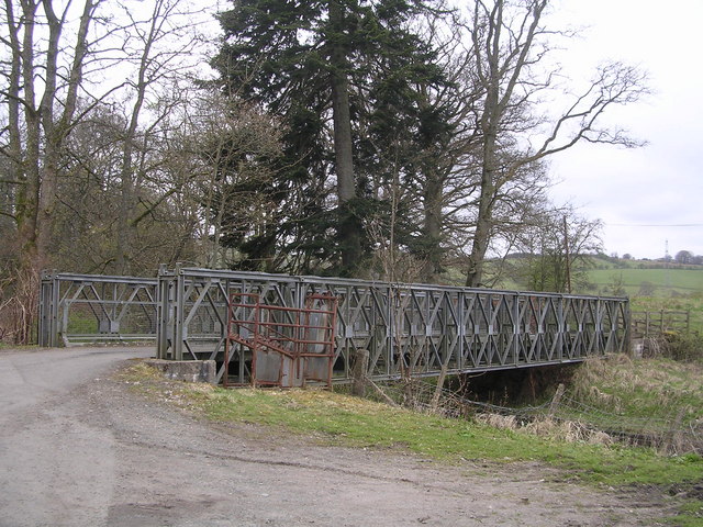
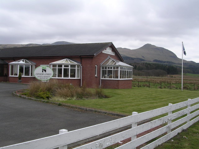
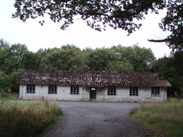
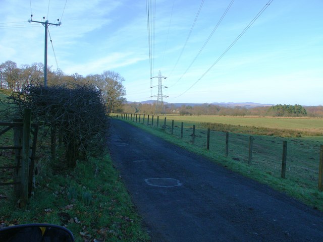
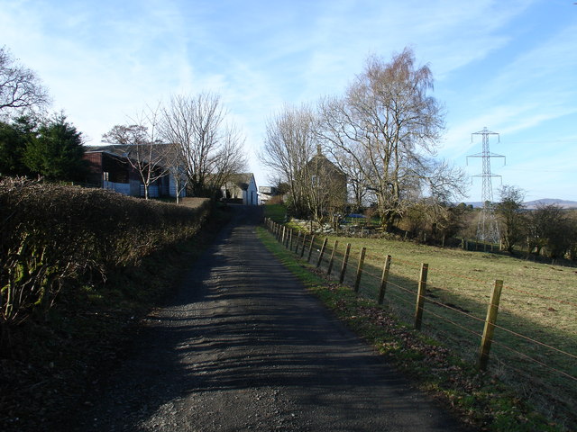
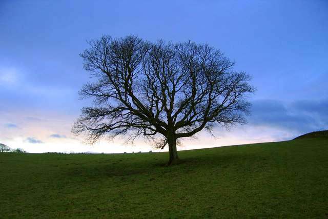
Dualt Glen Images
Images are sourced within 2km of 56.029159/-4.4044689 or Grid Reference NS5084. Thanks to Geograph Open Source API. All images are credited.


Dualt Glen is located at Grid Ref: NS5084 (Lat: 56.029159, Lng: -4.4044689)
Unitary Authority: Stirling
Police Authority: Forth Valley
What 3 Words
///sung.carefully.dolls. Near Killearn, Stirling
Nearby Locations
Related Wikis

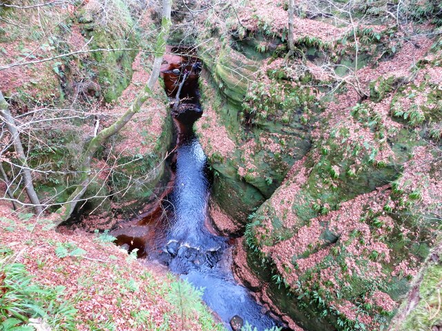
Finnich Glen
Finnich Glen in Stirlingshire, is a short, steep glen up to 70 ft deep which runs east from Finnich Bridge on the A809. It was carved from the red sandstone...
Killearn Hospital
Killearn Hospital was a health facility at Killearn in the Stirling council area of Scotland. == History == The hospital was established as one of seven...

Killearn railway station
Killearn railway station served the village of Killearn, Stirling, Scotland from 1882 to 1951 on the Blane Valley Railway. == History == The station opened...
Dumgoyne railway station
Dumgoyne railway station served the village of Killearn, Stirling, Scotland from 1867 to 1951 on the Blane Valley Railway. == History == The station was...
Nearby Amenities
Located within 500m of 56.029159,-4.4044689Have you been to Dualt Glen?
Leave your review of Dualt Glen below (or comments, questions and feedback).