Sheep Loup

Waterfall in Renfrewshire

Scotland

Sheep Loup

Clear fell in Ladymuir forest Ladymuir is a commercial conifer plantation and the forest track is part of the Ladymuir trail. Craig Minnan is visible through the mist.
Clear fell in Ladymuir forest Credit: wrobison

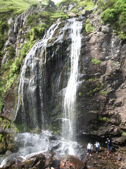
Sheep Loup, located in Renfrewshire, Scotland, is a picturesque waterfall that attracts visitors with its natural beauty and tranquility. Nestled amidst the stunning countryside, this waterfall is a hidden gem, offering a serene escape from the bustling city life.

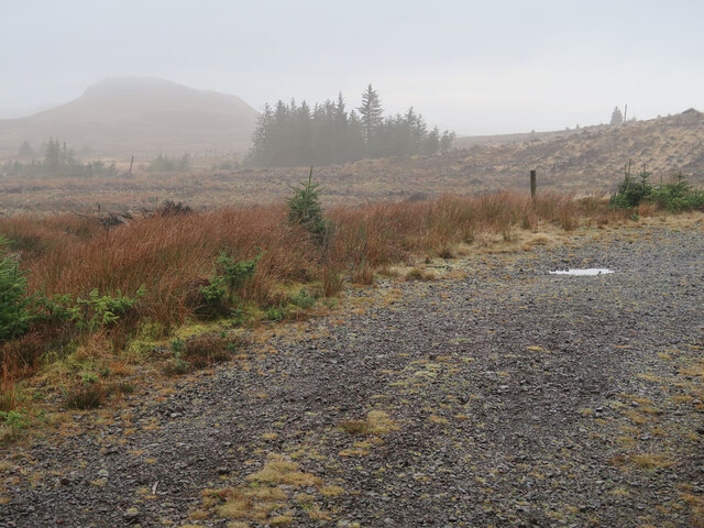
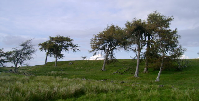
The Sheep Loup waterfall is situated within a small gorge, surrounded by moss-covered rocks and lush greenery. The water cascades down from a considerable height, creating a mesmerizing sight and a soothing sound that adds to the overall charm of the place. The crystal-clear water flows into a small pool at the base, creating a perfect spot for nature enthusiasts and photographers to capture its beauty.

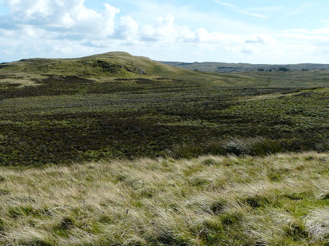
To reach Sheep Loup, visitors can follow a well-marked trail that winds through the scenic woodlands of Renfrewshire. The walk is relatively easy, suitable for all ages and fitness levels, making it accessible to a wide range of visitors.

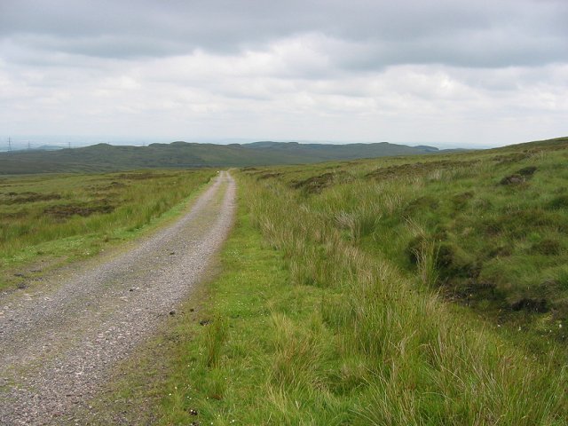
Aside from the waterfall itself, the area surrounding Sheep Loup offers ample opportunities for outdoor activities. Hiking enthusiasts can explore the nearby trails, which showcase the region's diverse flora and fauna. Picnic spots are available for visitors to relax and enjoy the peaceful atmosphere while taking in the breathtaking views.

Sheep Loup is a haven for wildlife, and visitors may be lucky enough to spot various bird species, including the common kingfisher and grey wagtail, as well as rabbits and deer in the surrounding meadows.

Overall, Sheep Loup in Renfrewshire is a charming destination for nature lovers, offering a tranquil setting, stunning scenery, and a chance to reconnect with the natural world.

If you have any feedback on the listing, please let us know in the comments section below.

Sheep Loup Images

Images are sourced within 2km of 55.833018/-4.6998251 or Grid Reference NS3163. Thanks to Geograph Open Source API. All images are credited.

Clear fell in Ladymuir forest Ladymuir is a commercial conifer plantation and the forest track is part of the Ladymuir trail. Craig Minnan is visible through the mist.
Clear fell in Ladymuir forest
Ladymuir is a commercial conifer plantation and the forest track is part of the Ladymuir trail. Craig Minnan is visible through the mist.
Queenside Hill leads the eye to distant Arrochar Alps A rapid descent from Misty Law on a summer day of unusual clarity
Queenside Hill leads the eye to distant Arrochar Alps
A rapid descent from Misty Law on a summer day of unusual clarity
Misty Law Rough bulldozed road through the peat deposits below Misty Law, the most distinctive top in the Muirsheils Moors. A small peak set amongst rolling grassy moors.
Misty Law
Rough bulldozed road through the peat deposits below Misty Law, the most distinctive top in the Muirsheils Moors. A small peak set amongst rolling grassy moors.
Mine road, Queenside Muir. Road serving the Muirsheil Mine. Still in good condition, except for a washout just short of the mine itself. An easy excursion into the moorland from Muirsheil Country Park.
Mine road, Queenside Muir.
Road serving the Muirsheil Mine. Still in good condition, except for a washout just short of the mine itself. An easy excursion into the moorland from Muirsheil Country Park.
Queenside loch, Muirshiel
Queenside loch and Moor, Muirshiel Taken from near the top of Queenside Hill. You may be able to pick out Ben Lomond near the right, Arrocher Alps centre and Ben Cruachan left. The white building about quarter of the way in from the left is Faslane Naval Base.
Queenside loch and Moor, Muirshiel
Taken from near the top of Queenside Hill. You may be able to pick out Ben Lomond near the right, Arrocher Alps centre and Ben Cruachan left. The white building about quarter of the way in from the left is Faslane Naval Base.
Queenside Hill, Muirshiel Looking down the Calder River valley
Queenside Hill, Muirshiel
Looking down the Calder River valley
Misty Law
Misty Law
Moorland view View from the end of the track below Misty Law
Moorland view
View from the end of the track below Misty Law
Misty Law summit cairn
Misty Law
Misty Law
Windy Hill Cairn
Windy Hill Cairn
Larches above Heathfield Larches in a rather exposed location just west of Heathfield.
Larches above Heathfield
Larches in a rather exposed location just west of Heathfield.
Little Craig Minnan and Windy Hill View south across the bleak moorland of Muirshiel Country Park towards the basalt outcrops of Little Craig Minnan and Windy Hill.
Little Craig Minnan and Windy Hill
View south across the bleak moorland of Muirshiel Country Park towards the basalt outcrops of Little Craig Minnan and Windy Hill.
Grave & Monument to Lord Francis Nathaniel Conyngham Born 24 September 1832. Died 14 September 1880. Member of Parliament for County Clare.
Grave & Monument to Lord Francis Nathaniel Conyngham
Born 24 September 1832. Died 14 September 1880. Member of Parliament for County Clare.
Path leading to Windy Hill
Cairn on Windy Hill
Cairn on Windy Hill
Show me another place!

Sheep Loup is located at Grid Ref: NS3163 (Lat: 55.833018, Lng: -4.6998251)

Unitary Authority: Renfrewshire

Police Authority: Renfrewshire and Inverclyde

What 3 Words

///subtitle.nothing.enveloped. Near Lochwinnoch, Renfrewshire

Related Wikis

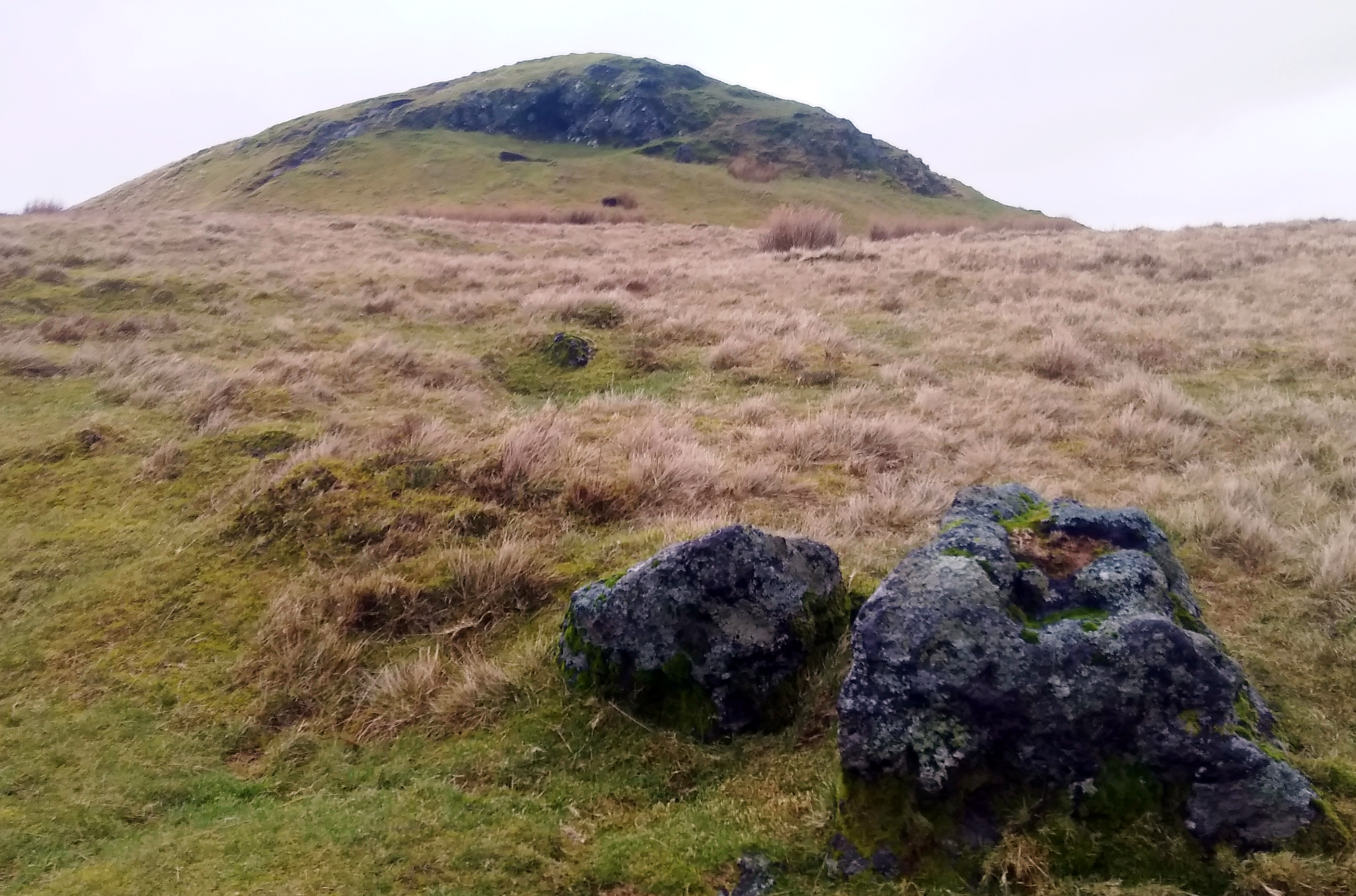
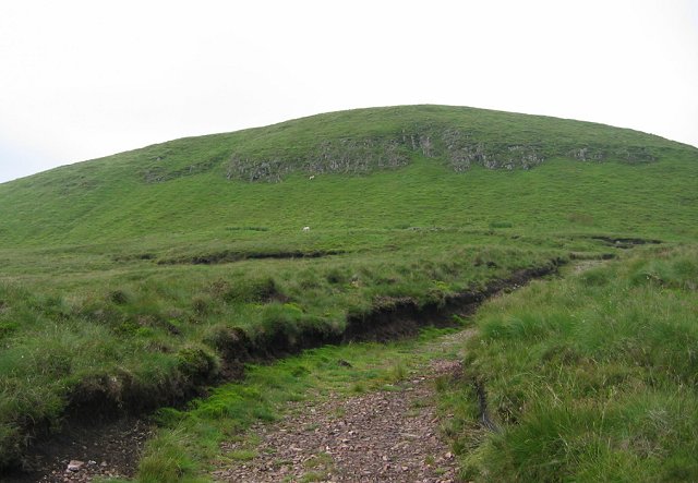
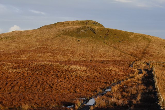
Windy Hill, Renfrewshire

Windy Hill is a 316 metres (1.037 feet) high hill in Renfrewshire, Scotland. It is one of the TuMPs of the Lowlands. == Geography == The hill is located...

Spout of Garnock

The Spout of Garnock (or Garnock Spout) is a waterfall in Ayrshire, Scotland. At approximately 60–70 ft high, it is the county's highest waterfall. It...
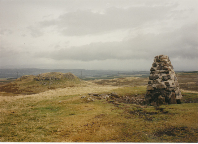
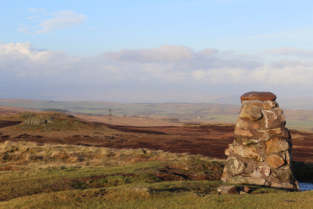
Hill of Stake

Hill of Stake is a hill on the boundary between North Ayrshire and Renfrewshire, Scotland. == Geography == The hill is 522 metres (1,713 feet) high and...

Nether Mill

Nether Mill or the Nethermiln of Kilbirnie was originally the Barony of Kilbirnie corn mill and later became a meal mill as well, located in the Parish...

Barony of Ladyland

The Barony of Ladyland was in the old feudal Baillerie of Cunninghame, near Kilbirnie in what is now North Ayrshire, Scotland. == The history of the... ==

British European Airways Flight S200P

British European Airways Flight S200P was a short-haul flight from London-Northolt Airport to Glasgow-Renfrew Airport, Scotland. On 21 April 1948, while...

Glengarnock Castle

Glengarnock Castle is one of the ancient ruined fortifications of Ayrshire. Its keep is located on a remote rocky promontory overlooking the River Garnock...

St John's Kirk, Lochwinnoch

St John's Kirk, also known as St Winnock's Church and, colloquially, Auld Simon (Old Simon), is a former church building in Lochwinnoch, Renfrewshire,...

Nearby Amenities

Located within 500m of 55.833018,-4.6998251
Tourism: picnic_site
Lat/Long: 55.8321628/-4.6970917
Waterway: weir
Lat/Long: 55.8373513/-4.7019078
Parking
Lat/Long: 55.8319732/-4.6941379
Power: pole
Lat/Long: 55.8301156/-4.6948492
Power: pole
Lat/Long: 55.8303039/-4.6959554
Power: pole
Lat/Long: 55.8305087/-4.6971283
Power: pole
Lat/Long: 55.8307041/-4.6982678
Power: pole
Lat/Long: 55.8308527/-4.6991427
Power: pole
Lat/Long: 55.831495/-4.6997177
Power: pole
Lat/Long: 55.8320823/-4.7002489
Power: pole
Lat/Long: 55.832438/-4.6993094
Power: pole
Lat/Long: 55.8327071/-4.6986198
The data included in this document is from www.openstreetmap.org. The data is made available under ODbL.

Have you been to Sheep Loup?

Leave your review of Sheep Loup below (or comments, questions and feedback).