Windy Hill
Hill, Mountain in Renfrewshire
Scotland
Windy Hill
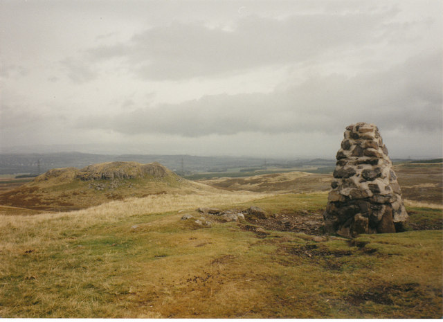
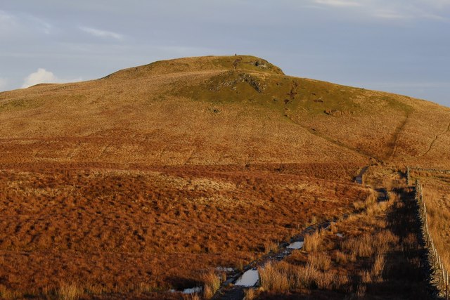
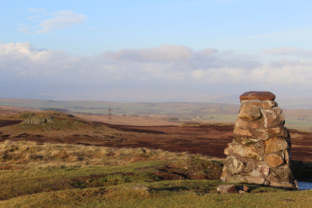
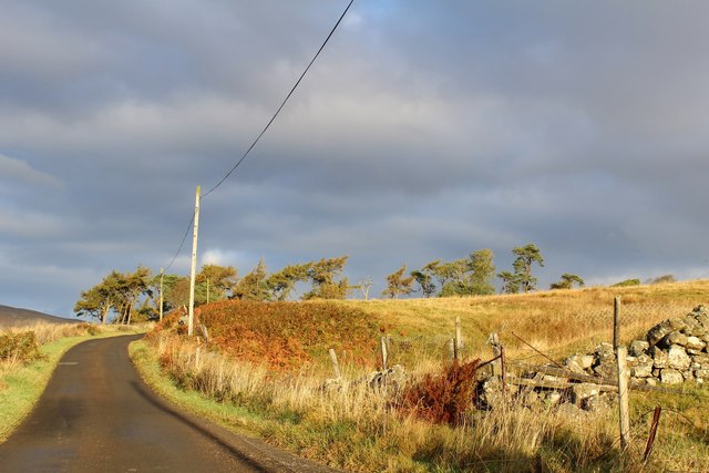
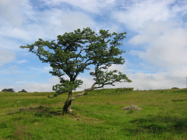
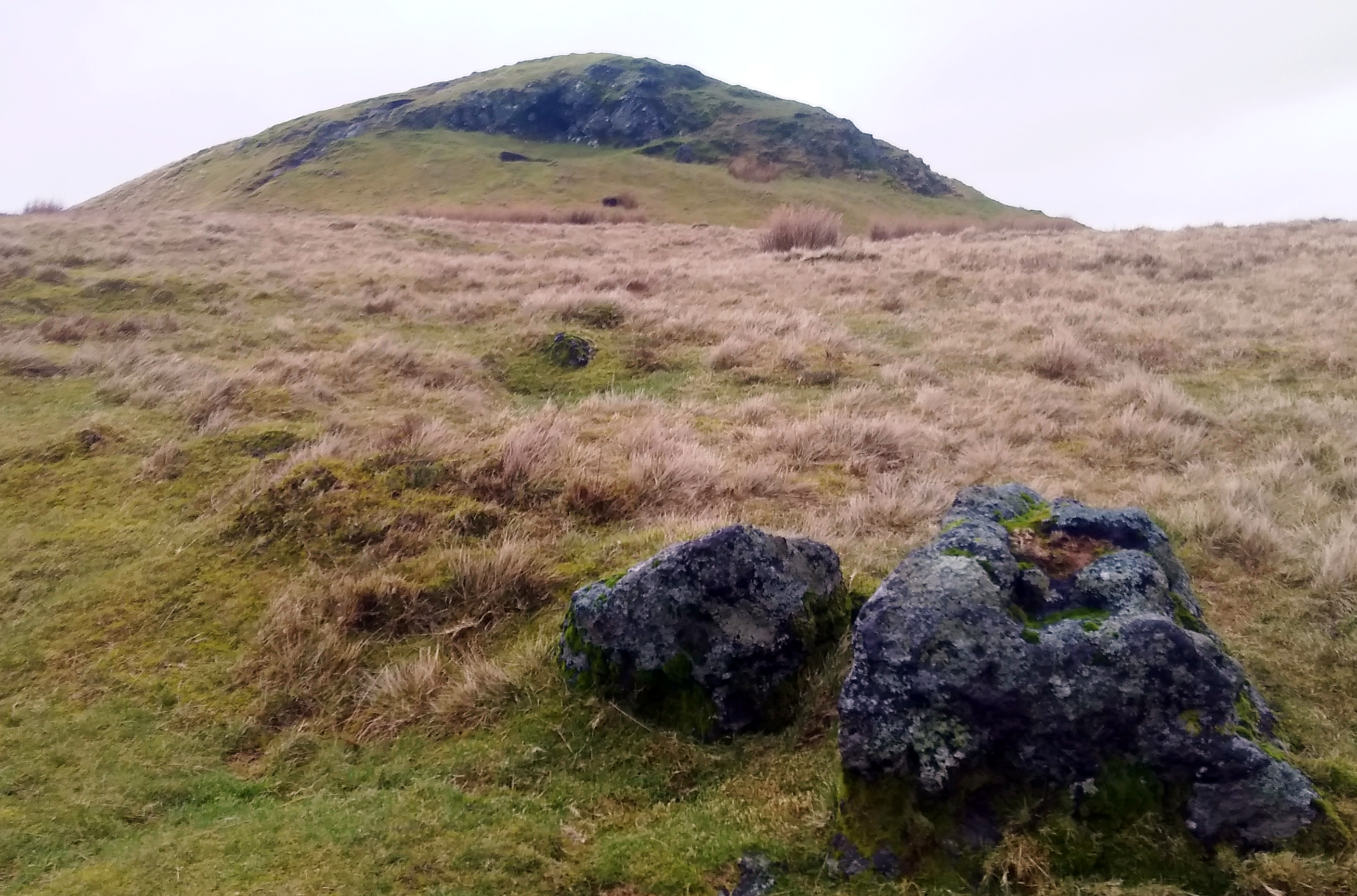
Windy Hill is a prominent hill located in Renfrewshire, Scotland. Situated approximately 10 miles southwest of Glasgow, it is part of the larger Kilpatrick Hills range. The hill stands at an impressive height of 317 meters (1,040 feet) above sea level, offering breathtaking panoramic views of the surrounding countryside.
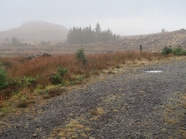
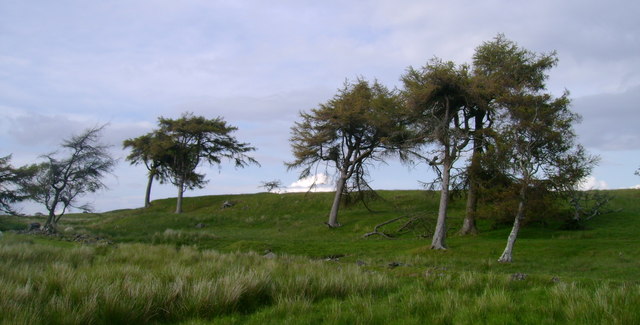
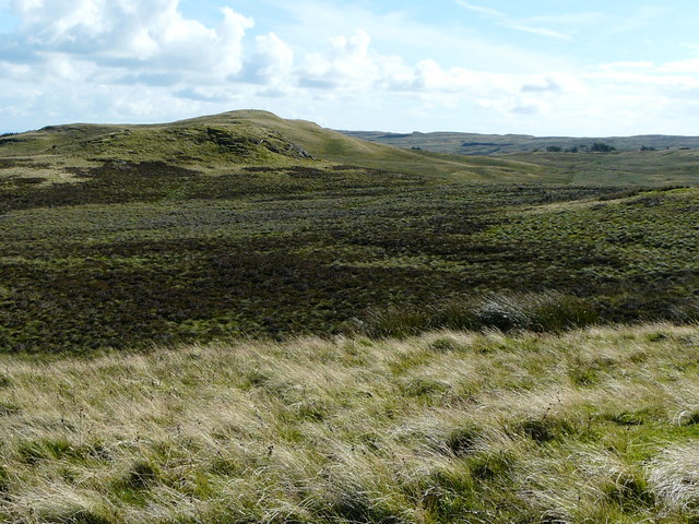
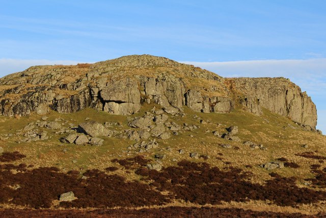
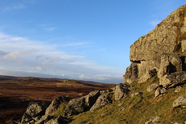
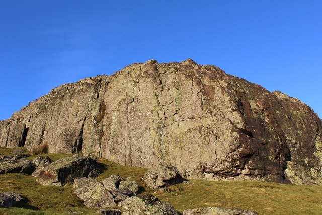
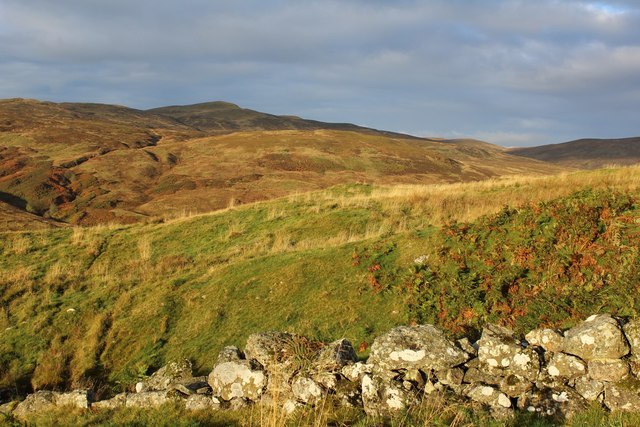
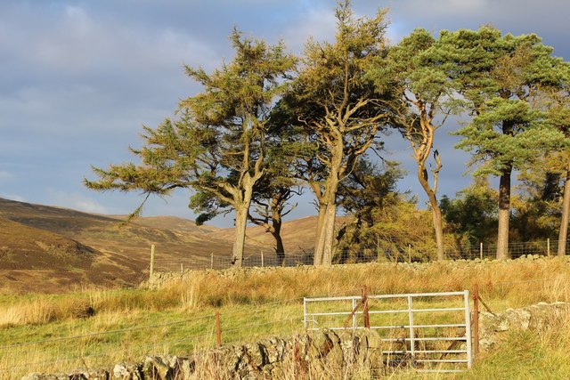
Windy Hill is a popular destination for outdoor enthusiasts and nature lovers. Its diverse landscape encompasses heathland, moorland, and mixed woodland, providing habitats for a variety of wildlife species. The hill is home to a wide range of flora and fauna, including heather, gorse, foxes, badgers, and numerous bird species.
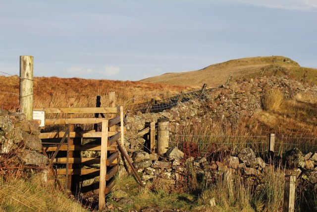
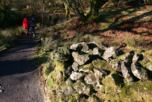
There are several well-marked trails and footpaths that wind their way up and around Windy Hill, catering to different levels of fitness and hiking abilities. These trails offer visitors the opportunity to explore the hill's natural beauty while enjoying invigorating walks and hikes.
At the summit of Windy Hill, visitors are rewarded with stunning panoramic vistas that stretch across Renfrewshire and beyond. On clear days, the views can extend as far as the Isle of Arran in the west and the Campsie Fells in the east, providing a truly awe-inspiring sight.
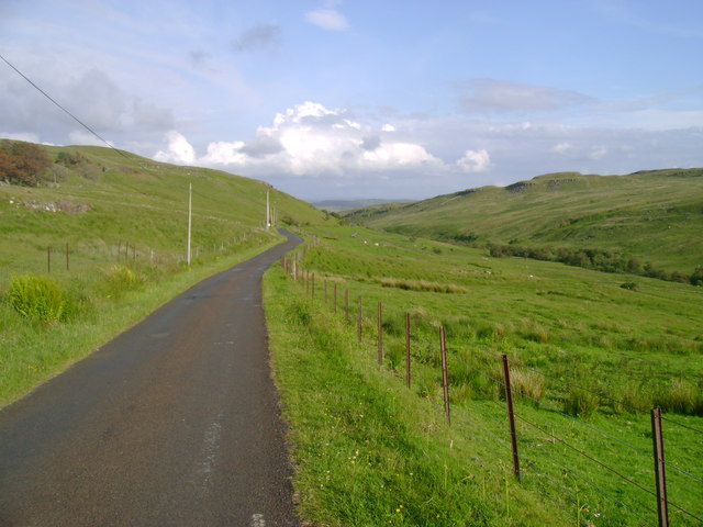
Access to Windy Hill is relatively easy, with ample parking available at the nearby visitor center. The hill is a popular destination for both locals and tourists alike, offering a tranquil retreat from the hustle and bustle of urban life. Whether it's a leisurely stroll or a more challenging hike, Windy Hill provides a wonderful opportunity to immerse oneself in the natural beauty of Renfrewshire.
If you have any feedback on the listing, please let us know in the comments section below.
Windy Hill Images
Images are sourced within 2km of 55.8375/-4.6868623 or Grid Reference NS3163. Thanks to Geograph Open Source API. All images are credited.

Windy Hill is located at Grid Ref: NS3163 (Lat: 55.8375, Lng: -4.6868623)
Unitary Authority: Renfrewshire
Police Authority: Renfrewshire and Inverclyde
What 3 Words
///credit.hindering.battling. Near Lochwinnoch, Renfrewshire
Nearby Locations
Related Wikis
Windy Hill, Renfrewshire
Windy Hill is a 316 metres (1.037 feet) high hill in Renfrewshire, Scotland. It is one of the TuMPs of the Lowlands. == Geography == The hill is located...
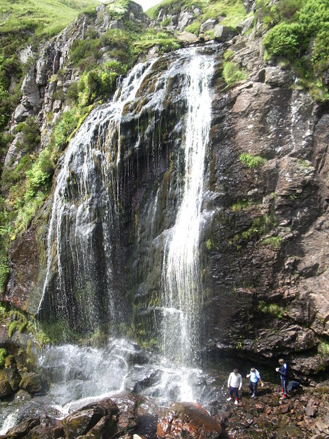
Spout of Garnock
The Spout of Garnock (or Garnock Spout) is a waterfall in Ayrshire, Scotland. At approximately 60–70 ft high, it is the county's highest waterfall. It...

Nether Mill
Nether Mill or the Nethermiln of Kilbirnie was originally the Barony of Kilbirnie corn mill and later became a meal mill as well, located in the Parish...

Hill of Stake
Hill of Stake is a hill on the boundary between North Ayrshire and Renfrewshire, Scotland. == Geography == The hill is 522 metres (1,713 feet) high and...

Duchal House
Duchal House is an 18th-century mansion and estate near Kilmacolm, Scotland. It is located in Inverclyde, in the former county of Renfrewshire. Duchal...

Quarrier's Village
Quarrier's Village or Quarriers Village is a small settlement in the civil parish of Kilmacolm in Inverclyde council area and the historic county of Renfrewshire...

Barony of Ladyland
The Barony of Ladyland was in the old feudal Baillerie of Cunninghame, near Kilbirnie in what is now North Ayrshire, Scotland. == The history of the... ==

St John's Kirk, Lochwinnoch
St John's Kirk, also known as St Winnock's Church and, colloquially, Auld Simon (Old Simon), is a former church building in Lochwinnoch, Renfrewshire,...
Nearby Amenities
Located within 500m of 55.8375,-4.6868623Have you been to Windy Hill?
Leave your review of Windy Hill below (or comments, questions and feedback).