Dutchman's Island
Island in Kent Swale
England
Dutchman's Island
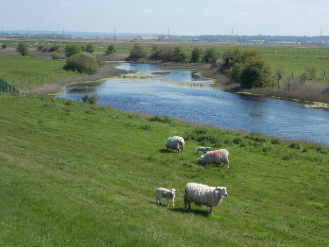
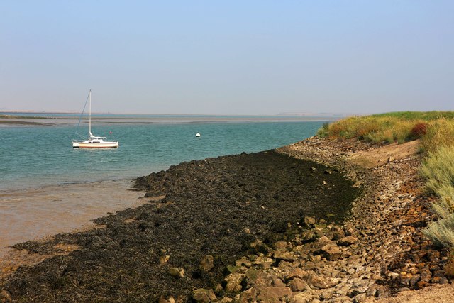
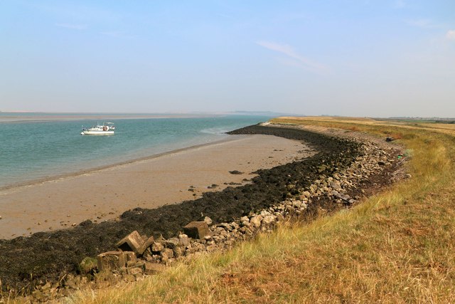
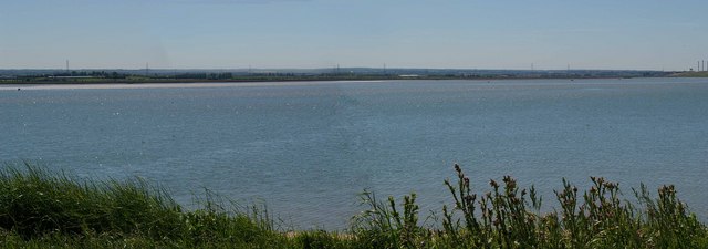
Dutchman's Island is a small, uninhabited island located off the coast of Kent, England. Situated in the English Channel, it is part of the larger archipelago known as the Kent Islands. Dutchman's Island, also referred to as Dutchman's Bank, is known for its unique geographical features and rich biodiversity.
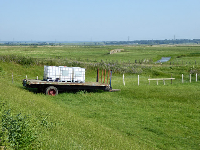
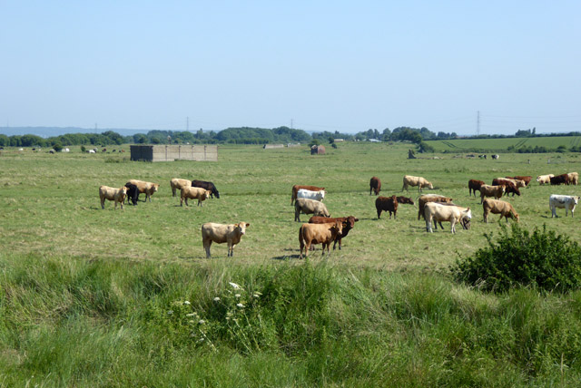
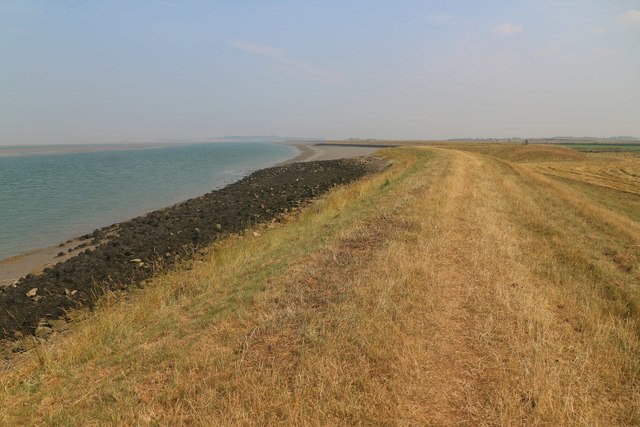
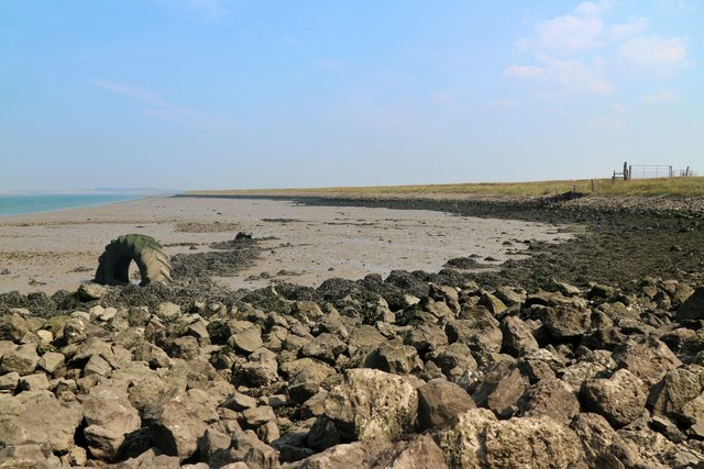
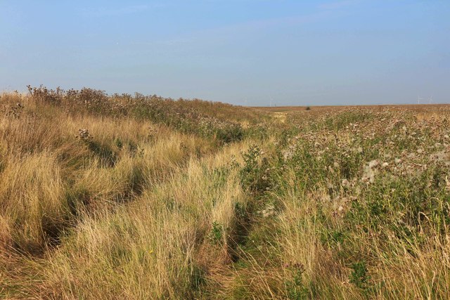
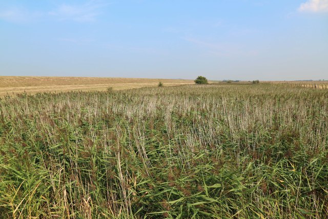
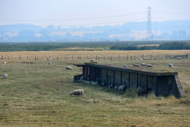
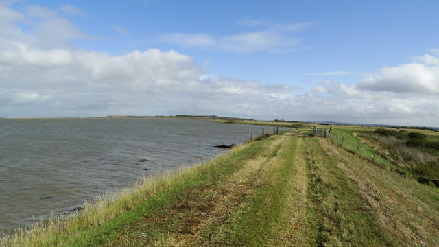
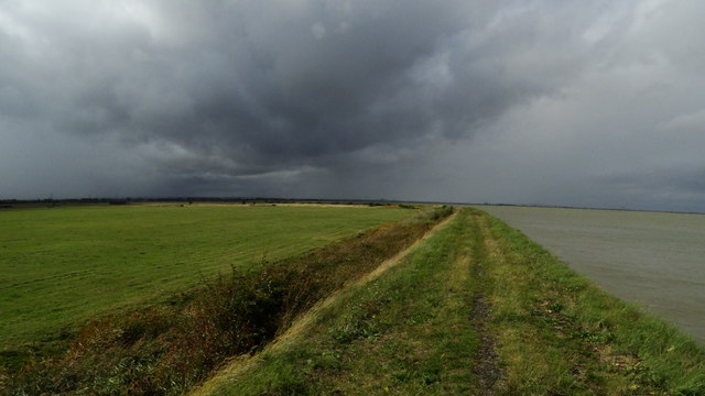
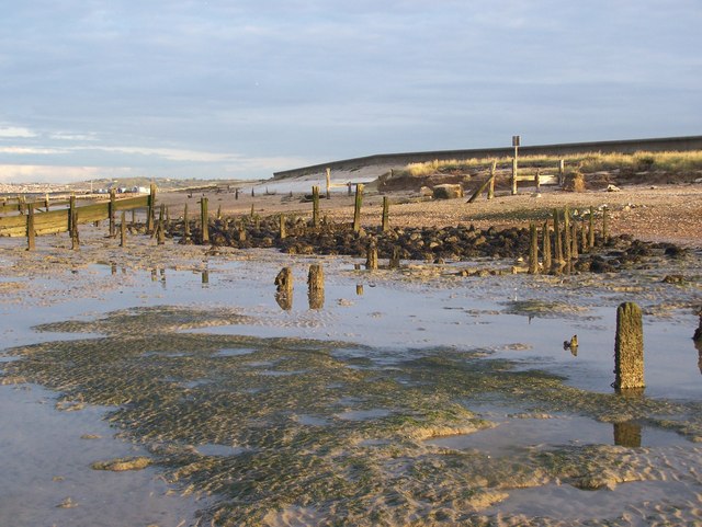
Covering an area of approximately 20 hectares, the island is characterized by its sandy beaches, rocky outcrops, and salt marshes. It is accessible only by boat and is a popular destination for nature enthusiasts and birdwatchers. The diverse range of habitats found on Dutchman's Island attracts a wide variety of bird species, including terns, gulls, and waders.
The island has a fascinating history, with records dating back to the 17th century. It is believed that the name "Dutchman's Island" originated from a Dutch shipwreck that occurred in the area during that time. Over the years, the island has served as a navigational marker for ships entering the nearby harbor of Ramsgate.
Due to its ecological importance, Dutchman's Island is protected as a Site of Special Scientific Interest (SSSI) and is managed by local conservation organizations. These efforts aim to preserve the island's unique flora and fauna, as well as maintain its natural beauty for future generations to appreciate.
In conclusion, Dutchman's Island is a small but significant island off the coast of Kent, offering a haven for wildlife and a glimpse into the region's maritime history. Its unspoiled beaches, diverse habitats, and protected status make it a remarkable destination for those seeking to explore and appreciate nature.
If you have any feedback on the listing, please let us know in the comments section below.
Dutchman's Island Images
Images are sourced within 2km of 51.367971/0.84846541 or Grid Reference TQ9867. Thanks to Geograph Open Source API. All images are credited.


Dutchman's Island is located at Grid Ref: TQ9867 (Lat: 51.367971, Lng: 0.84846541)
Administrative County: Kent
District: Swale
Police Authority: Kent
What 3 Words
///rounds.shipyards.trainer. Near Eastchurch, Kent
Nearby Locations
Related Wikis
The Swale
The Swale is a tidal channel of the Thames estuary that separates the Isle of Sheppey from the rest of Kent. On its banks is a 6,509.4-hectare (16,085...
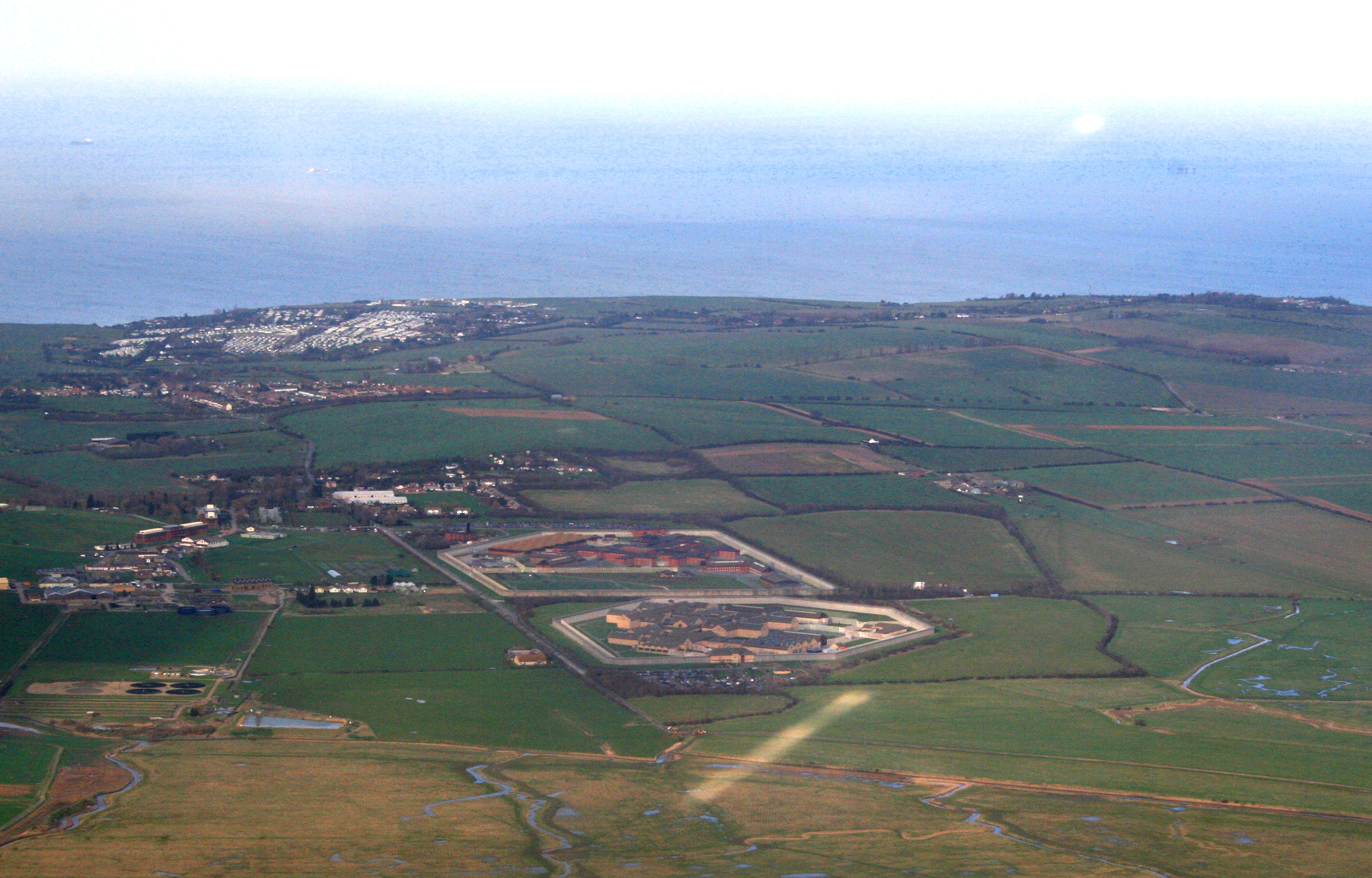
HM Prison Elmley
HM Prison Elmley is a local Category B/C men's prison, located close to the village of Eastchurch on the Isle of Sheppey, Kent. The term 'local' means...
HM Prison Swaleside
HM Prison Swaleside is a Category B men's prison, located close to the village of Eastchurch on the Isle of Sheppey, Kent. Swaleside forms part of the...
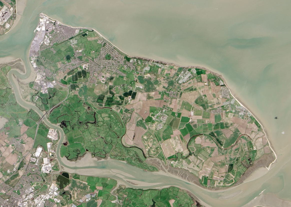
Isle of Sheppey
The Isle of Sheppey is an island off the northern coast of Kent, England, neighbouring the Thames Estuary, centred 42 miles (68 km) from central London...

RAF Eastchurch
Royal Air Force Eastchurch or more simply RAF Eastchurch (formerly RNAS Eastchurch) is a former Royal Air Force station near Eastchurch village, on the...

Harty
Harty is a small hamlet on the Isle of Sheppey in Kent consisting of a few cottages, a church and a public house, the Ferry Inn (a Grade II listed building...
HM Prison Standford Hill
HM Prison Standford Hill (Sheppey Cluster) is a Category D men's prison, located close to the village of Eastchurch on the Isle of Sheppey, Kent. Standford...
Uplees
Uplees is a remote hamlet north of Faversham, Kent in southeast England. It was a key part of the Faversham explosives industry during World War I, with...
Nearby Amenities
Located within 500m of 51.367971,0.84846541Have you been to Dutchman's Island?
Leave your review of Dutchman's Island below (or comments, questions and feedback).