Little Cob Island
Island in Essex Maldon
England
Little Cob Island
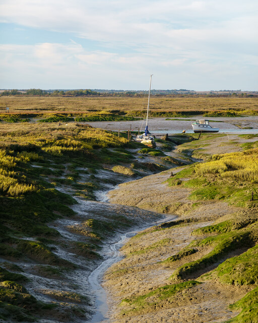
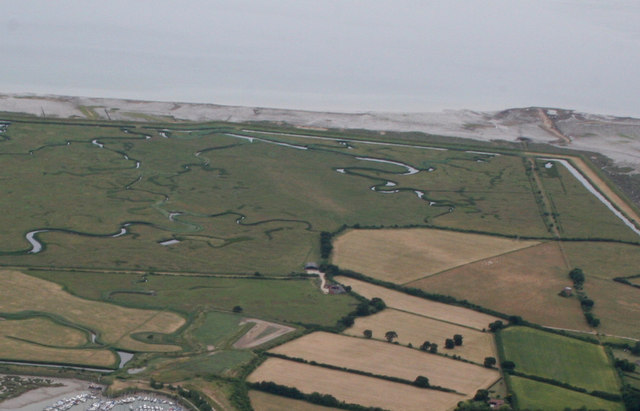
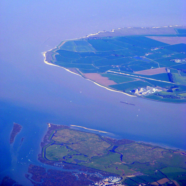
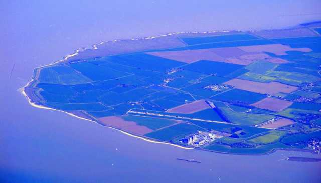
Little Cob Island is a small island located off the coast of Essex, England. Situated in the Blackwater Estuary, it lies approximately 3 miles southeast of the town of Maldon. The island is part of the Dengie Peninsula, which is known for its marshes, mudflats, and rich wildlife.
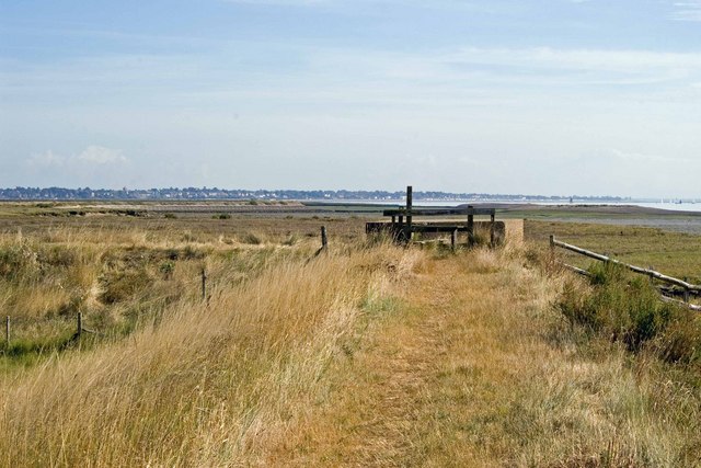
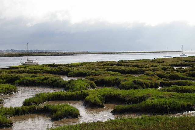
Covering an area of around 4 hectares, Little Cob Island is characterized by its flat and marshy terrain. It is predominantly composed of saltmarsh, which provides vital habitat for a diverse range of plants and animals. The island is uninhabited and is designated as a nature reserve, managed by the Royal Society for the Protection of Birds (RSPB).
Little Cob Island is particularly important for its bird population. It serves as a breeding ground and a stopover site for numerous species of migratory birds, including avocets, oystercatchers, and redshanks. The island's remote location and protected status make it an ideal sanctuary for these birds, offering them a safe nesting environment away from human disturbances.
Access to Little Cob Island is restricted due to its conservation significance. However, birdwatchers and nature enthusiasts can observe the island and its wildlife from nearby viewpoints on the mainland. The RSPB organizes guided walks and events to educate visitors about the importance of the island and its conservation efforts.
Little Cob Island is a hidden gem within the Essex coastline, offering a glimpse into the diverse and fragile ecosystems that thrive in this part of the country. Its protection and preservation contribute to the overall biodiversity and ecological health of the region.
If you have any feedback on the listing, please let us know in the comments section below.
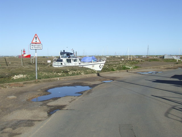
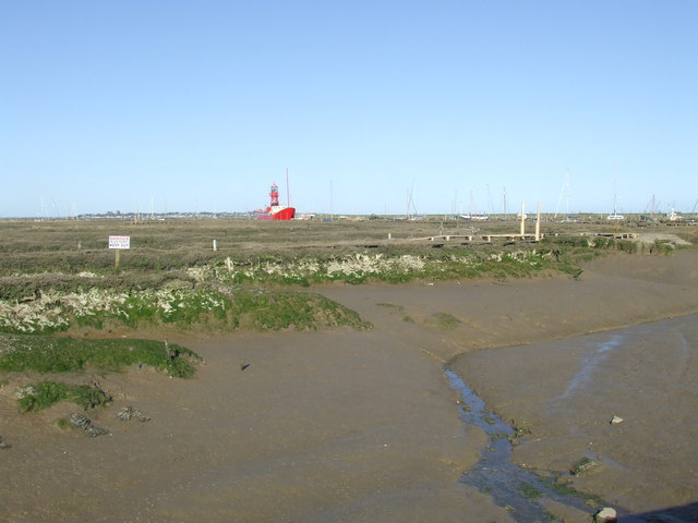
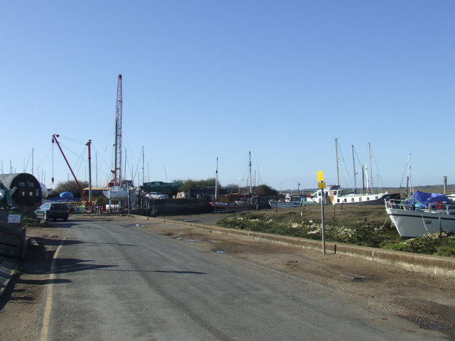
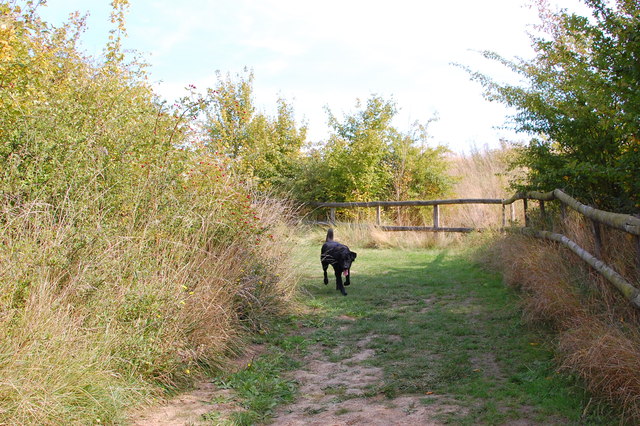
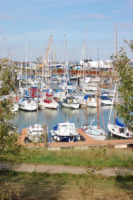
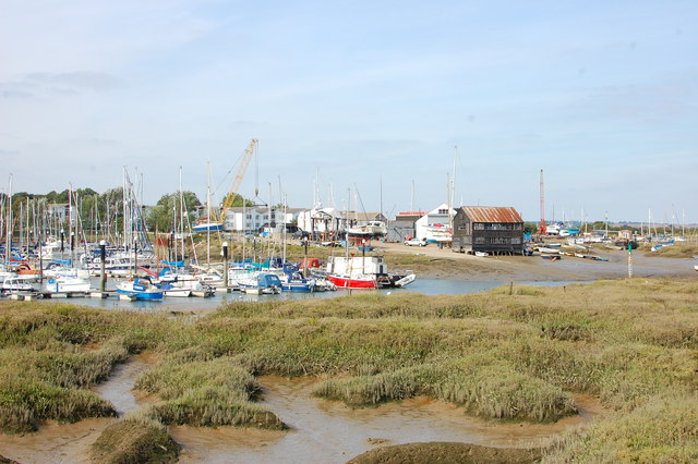
Little Cob Island Images
Images are sourced within 2km of 51.762576/0.87255176 or Grid Reference TL9811. Thanks to Geograph Open Source API. All images are credited.


Little Cob Island is located at Grid Ref: TL9811 (Lat: 51.762576, Lng: 0.87255176)
Administrative County: Essex
District: Maldon
Police Authority: Essex
What 3 Words
///fluctuate.braked.titles. Near Tollesbury, Essex
Nearby Locations
Related Wikis
Great Cob Island
Great Cob island is a small island in the estuary of the River Blackwater in Essex, England, the United Kingdom. The island is an area of low-lying salt...

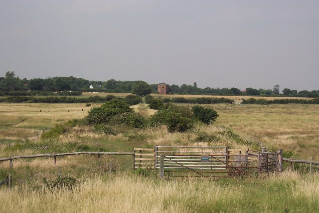
Tollesbury Wick
Tollesbury Wick is a 242.8-hectare (600-acre) nature reserve east of Tollesbury in Essex. It is managed by the Essex Wildlife Trust.This is coastal freshwater...

Woodup Pool
Woodup Pool in Tollesbury, Essex (also known as Woodrolfe Pool) is a salt-water pond or lake used as an open-air swimming pool or amenity pool. == History... ==
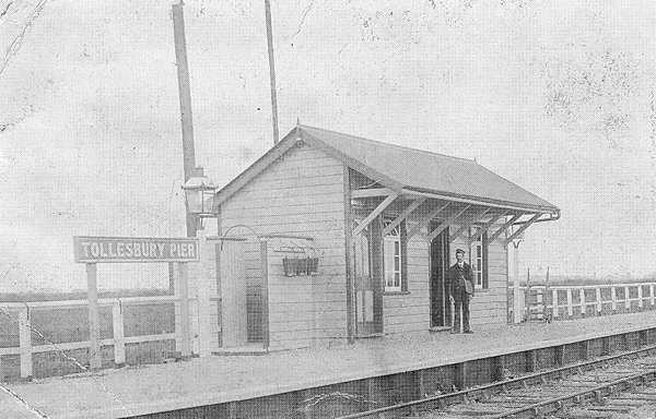
Tollesbury Pier railway station
Tollesbury Pier railway station was a short-lived terminus of an extension of the Kelvedon and Tollesbury Light Railway, serving Tollesbury's pier on the...

Tollesbury
Tollesbury is a village in England, located on the Essex coast at the mouth of the River Blackwater. It is situated nine miles east of the historic port...

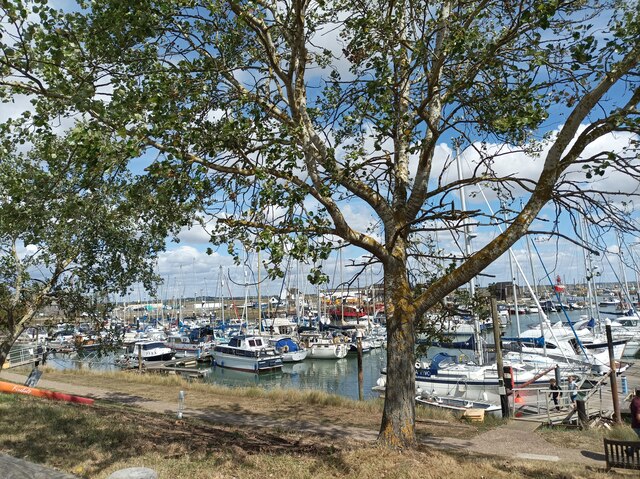
West Mersea Yacht Club
West Mersea Yacht Club (WMYC) is a British yacht club that has its clubhouse in Coast Road, West Mersea, Mersea Island, Essex. It is on the estuary of...
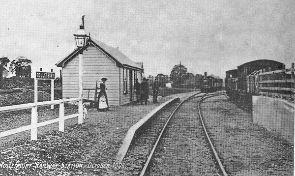
Tollesbury railway station
Tollesbury railway station was on the Kelvedon and Tollesbury Light Railway, serving the village of Tollesbury, Essex. The station was 8 miles 42 chains...
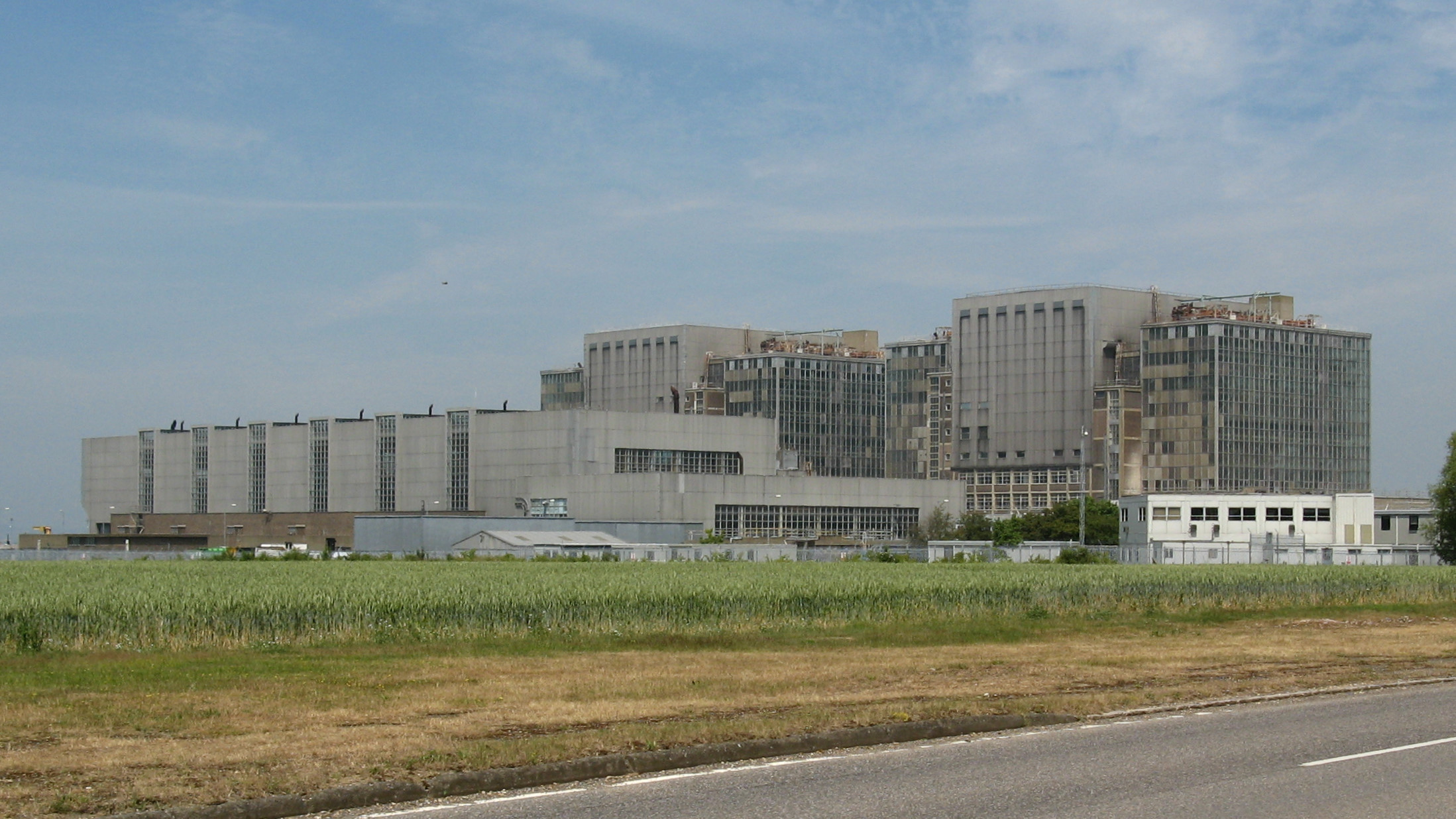
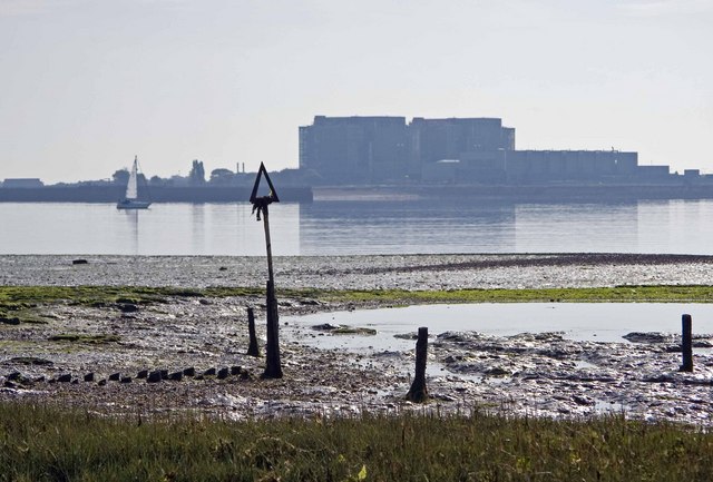
Bradwell nuclear power station
Bradwell nuclear power station is a Magnox-design nuclear power station that is undergoing decommissioning. It is located on the Dengie peninsula at the...
Nearby Amenities
Located within 500m of 51.762576,0.87255176Have you been to Little Cob Island?
Leave your review of Little Cob Island below (or comments, questions and feedback).