Taggs Island
Island in Middlesex
England
Taggs Island
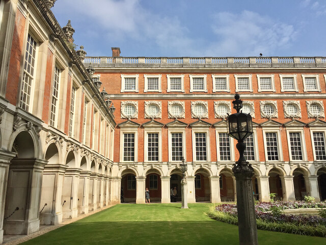
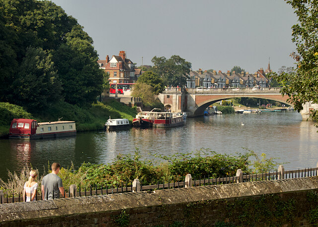
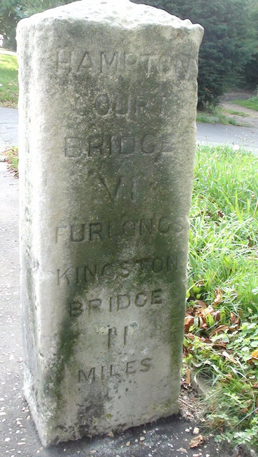
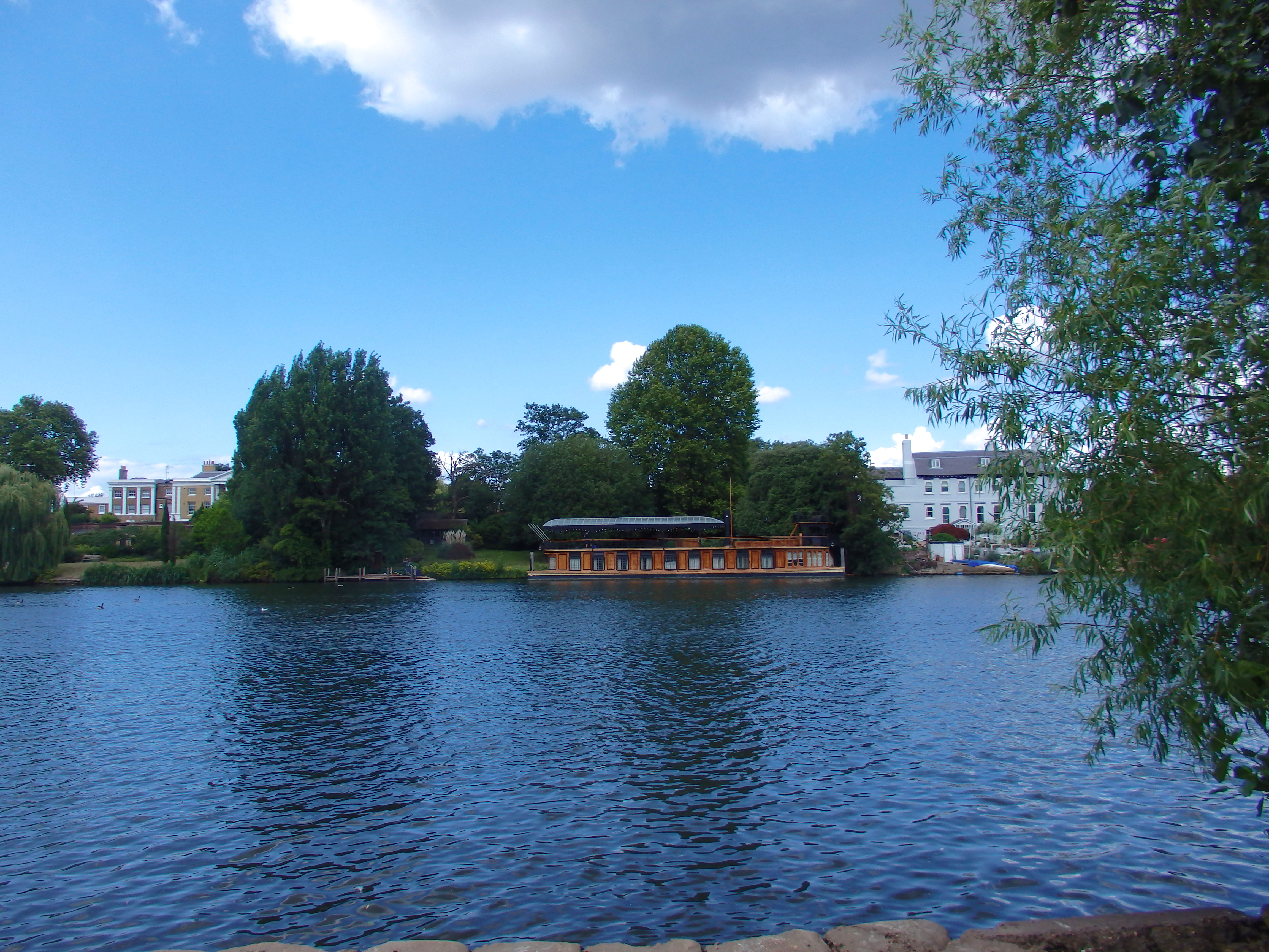
Taggs Island is a small island located on the River Thames in Middlesex, England. It is situated between the towns of Hampton and East Molesey and is known for its idyllic and picturesque setting. The island spans approximately 7 acres and is accessible only by boat, adding to its exclusivity and charm.
The island has a rich history dating back to the 19th century when it was originally used as a sand and gravel pit. In the early 20th century, it was transformed into a residential area with the construction of several unique and individually designed houses. Today, these houses still stand, creating a distinct and eclectic architectural mix on the island.
Taggs Island is also home to a small marina, which offers moorings for boats and a variety of amenities for boating enthusiasts. The island has its own private road, Taggs Lane, which connects it to the mainland, making it easily accessible for residents and visitors.
The island has a strong community feel, with residents organizing various social events and activities throughout the year. It is a haven for nature lovers, with abundant wildlife and tranquil surroundings. The riverbanks surrounding the island offer opportunities for leisurely walks and stunning views of the Thames.
Taggs Island has been featured in various works of literature and music, adding to its cultural significance. It continues to be a sought-after location for those seeking a peaceful and secluded lifestyle, away from the hustle and bustle of city life.
If you have any feedback on the listing, please let us know in the comments section below.
Taggs Island Images
Images are sourced within 2km of 51.409066/-0.3523906 or Grid Reference TQ1469. Thanks to Geograph Open Source API. All images are credited.


Taggs Island is located at Grid Ref: TQ1469 (Lat: 51.409066, Lng: -0.3523906)
Unitary Authority: Richmond upon Thames
Police Authority: Metropolitan
What 3 Words
///belong.doctor.sport. Near Hampton, London
Nearby Locations
Related Wikis
Tagg's Island
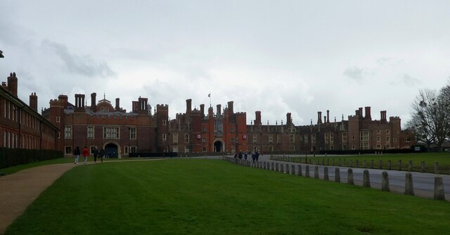
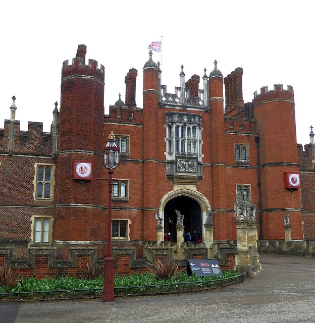
Tagg's Island, in the London Borough of Richmond upon Thames and part of Hampton, is an ait (island) on the River Thames on the reach above Molesey Lock...

The Karsino
The Karsino was a hotel on Tagg's Island in the London Borough of Richmond upon Thames which stood from 1912 until 1972. == History == It was built for...

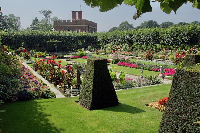
St Albans Riverside
St Albans Riverside is a park in Hampton in the London Borough of Richmond upon Thames. It is linear with long sides between the Thames and Hampton Court...
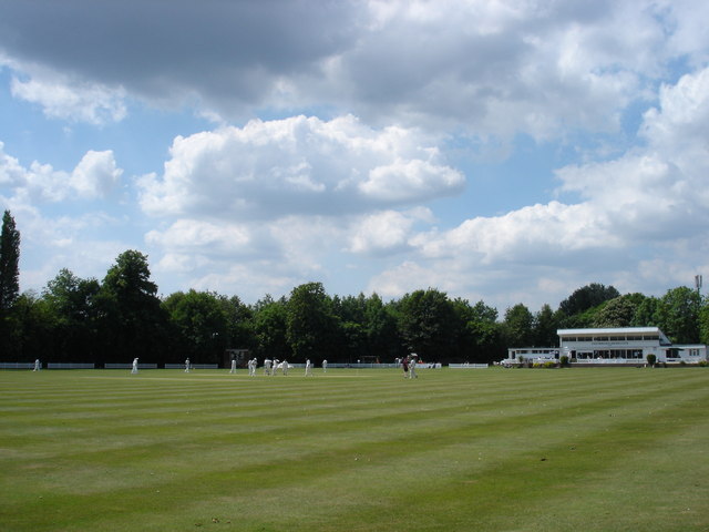
Hurst Park Club Ground
Hurst Park Club Ground is a cricket ground in East Molesey, Surrey. The ground formerly occupied the round area inside Hurst Park Racecourse. The first...

Molesey Boat Club
Molesey Boat Club is a rowing club between Molesey Lock and Sunbury Lock on the River Thames in England. The club was founded in 1866 where its boathouse...

Ash Island
Ash Island is a forested, drop-shaped island in the River Thames in England, across the weir of Molesey Lock within Greater London on its border. In the...
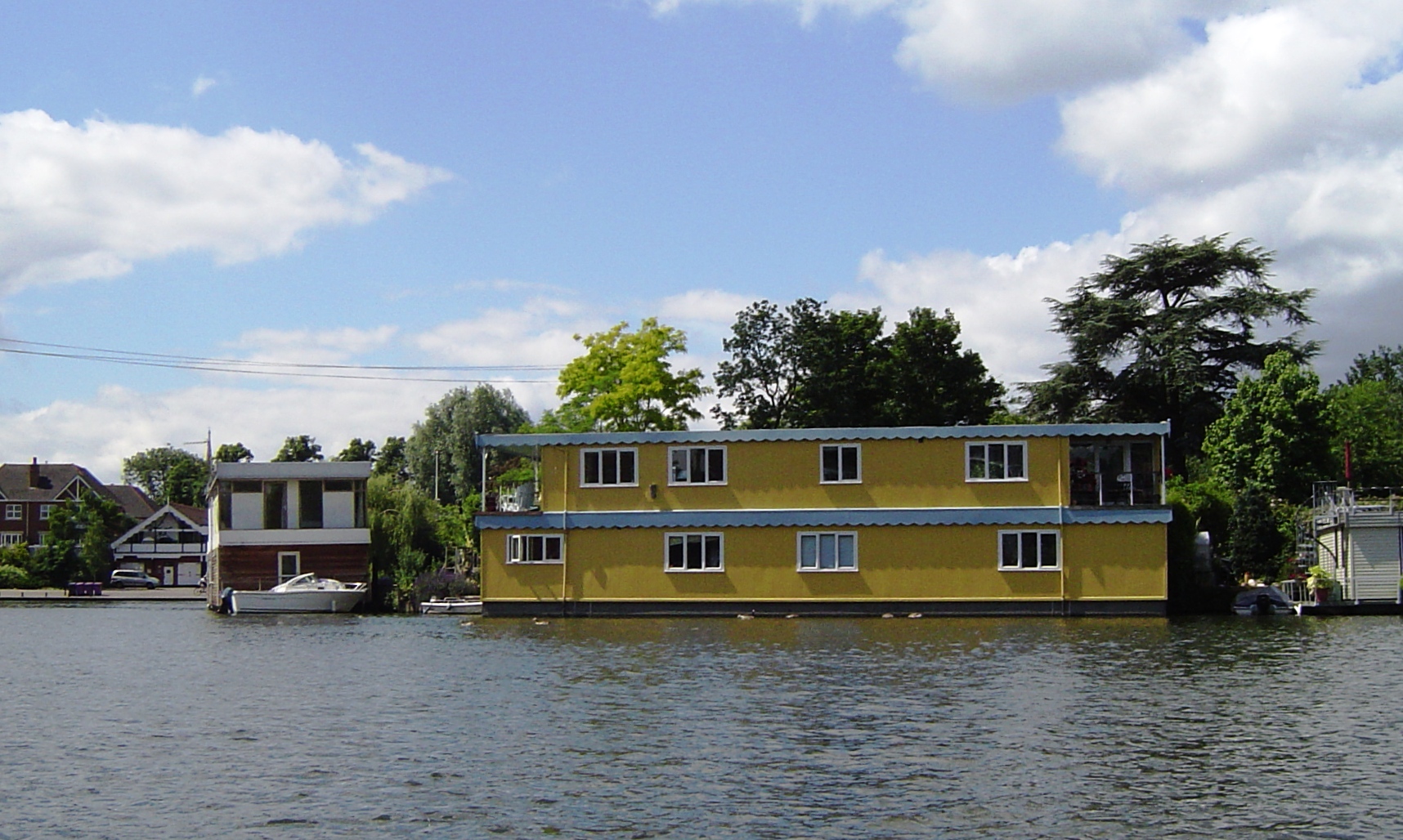
Astoria (recording studio)
Astoria is a grand houseboat, built in 1911 for impresario Fred Karno and adapted as a recording studio in the 1980s by its new owner, Pink Floyd guitarist...

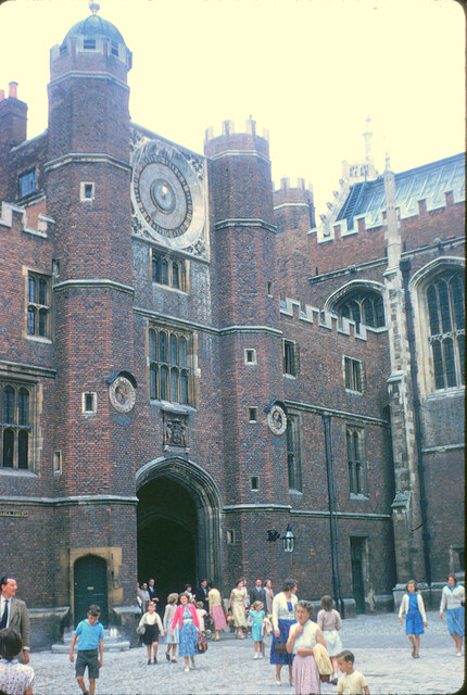
Garrick's Villa
Garrick's Villa is a Grade I listed country house located on Hampton Court Road in Hampton in the London Borough of Richmond upon Thames. Its park and...
Related Videos

HAMPTON COURT CIRCULAR WALK BEGINNER WALKERS!! DAY SUNDAY | 🇬🇧 Hiking UK | England
This walk explores the two royal parks next to Hampton Court Palace. This was originally built for Cardinal Wolsey, but when he ...

Hampton Court and Bushy Park walk | The Best Walk Near London | 🇬🇧 Hiking UK | England
2 deer parks and a royal palace Length: 7km. Walk Notes Through Hampton Court and Bushy Parks. This walk is best avoided ...

Beginner Walkers!! Hampton Court Circular London Walk | Hiking UK | England 🇬🇧
Attention all beginner walkers! Embark on a delightful Hampton Court Circular London Walk, specially designed for those starting ...

Beginner Walkers!! Discover the Enchanting Hampton Court Walk | 🇬🇧 Hiking UK | England
Calling all beginner walkers! Embark on a delightful walking adventure along the enchanting Hampton Court Walk, perfect for ...
Nearby Amenities
Located within 500m of 51.409066,-0.3523906Have you been to Taggs Island?
Leave your review of Taggs Island below (or comments, questions and feedback).