Garrick's Eyot
Island in Surrey Elmbridge
England
Garrick's Eyot
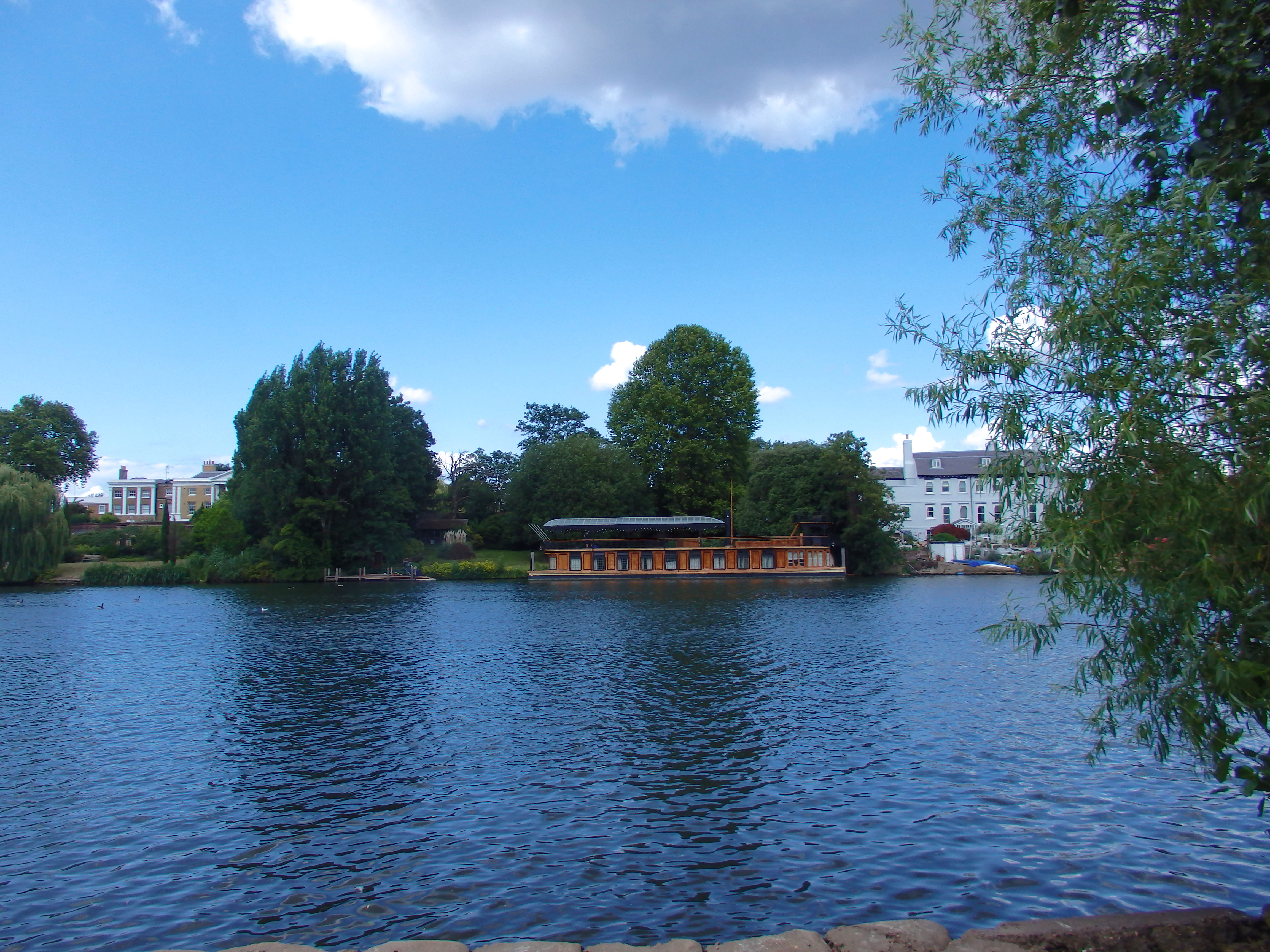
Garrick's Eyot is a picturesque island located in the River Thames, in the county of Surrey, England. Spanning approximately 2.5 acres, this small but enchanting island is a popular destination for both locals and tourists alike.
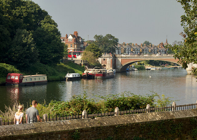
The island is named after the renowned 18th-century actor and playwright, David Garrick, who once owned the land. It is accessible via a footbridge that connects it to the mainland, providing visitors with easy access to this idyllic retreat.
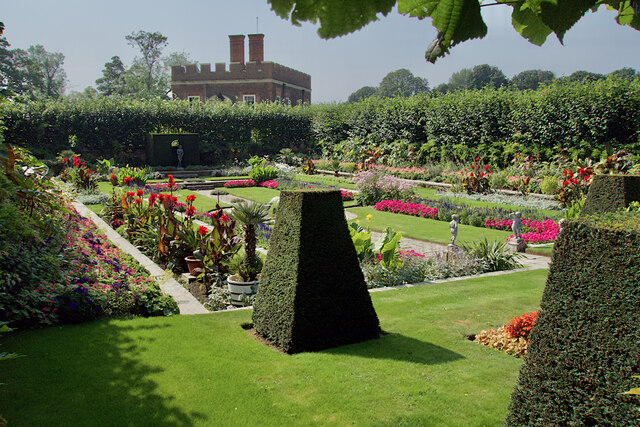
Garrick's Eyot offers a tranquil escape from the bustling city life, boasting lush greenery, mature trees, and well-maintained gardens. It is a haven for nature lovers, bird enthusiasts, and those seeking a peaceful stroll along the riverbank. The island is home to a variety of wildlife, including ducks, swans, and other waterfowl.
The island also features a small boathouse, adding to its charm and providing opportunities for boating and fishing activities. With its calm waters and scenic surroundings, it is a perfect spot for picnicking, photography, or simply unwinding amidst nature.
Garrick's Eyot has a rich history, with evidence of human habitation dating back to the Mesolithic era. Over the years, it has been owned by various notable figures, including the Duke of Sutherland and the famous actress Dame Ellen Terry.
Today, Garrick's Eyot remains a hidden gem, cherished by locals and visitors who appreciate its natural beauty and serene atmosphere. Whether for a leisurely walk, a peaceful picnic, or a quiet moment of reflection, this enchanting island offers a delightful escape from the bustling world.
If you have any feedback on the listing, please let us know in the comments section below.
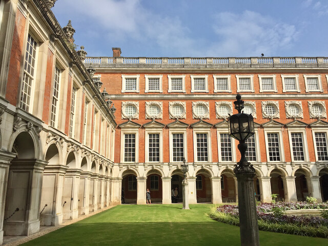
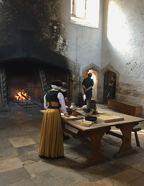
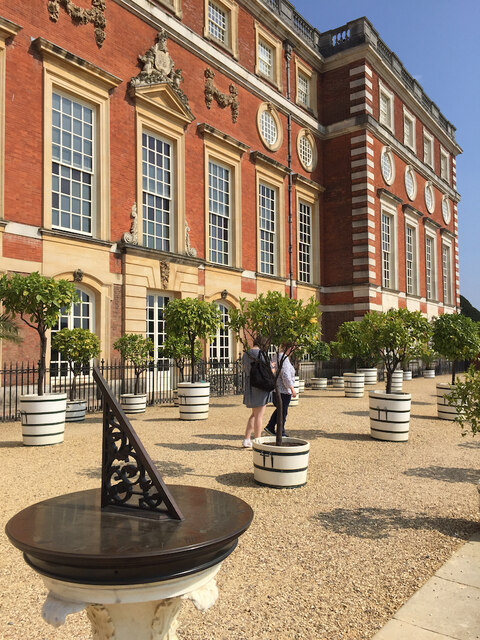
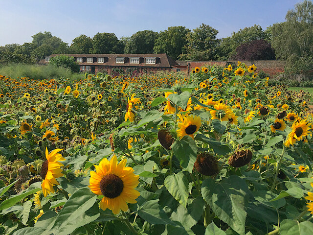
Garrick's Eyot Images
Images are sourced within 2km of 51.411597/-0.36040974 or Grid Reference TQ1469. Thanks to Geograph Open Source API. All images are credited.


Garrick's Eyot is located at Grid Ref: TQ1469 (Lat: 51.411597, Lng: -0.36040974)
Administrative County: Surrey
District: Elmbridge
Police Authority: Surrey
What 3 Words
///chains.rail.mutual. Near Hampton, London
Nearby Locations
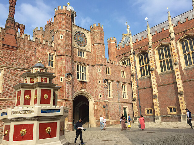
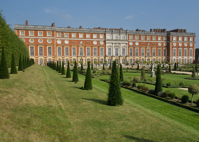
Related Wikis

Garrick's Ait
Garrick's Ait (or Garrick's Eyot on Ordnance Survey maps), previously known as Shank's Eyot, is an ait in the River Thames in England on the reach above...
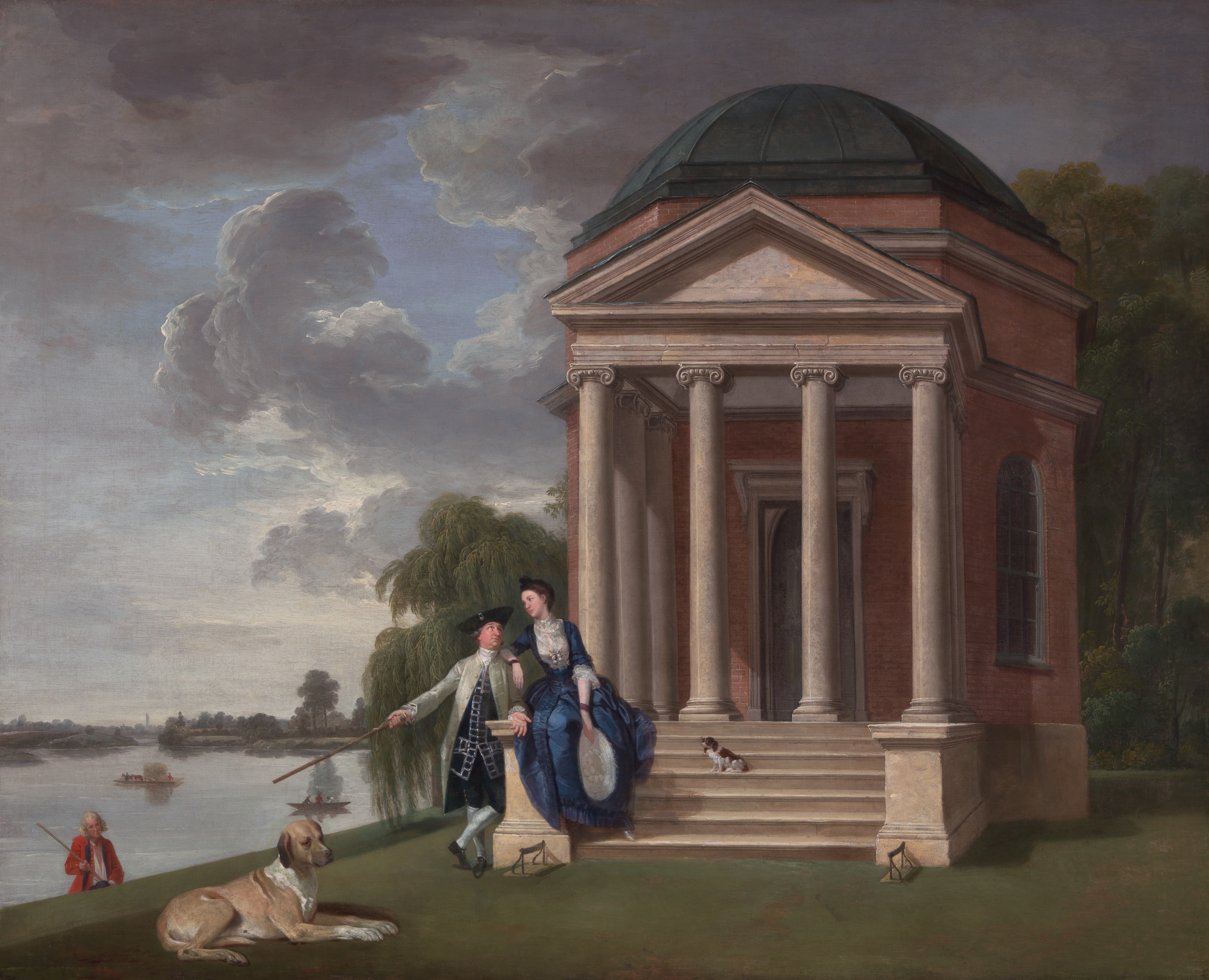
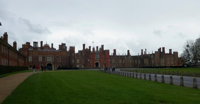
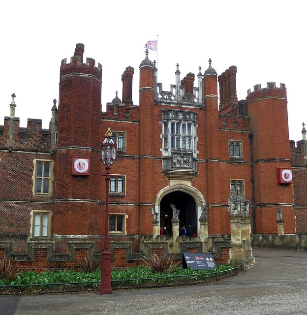
Garrick's Temple to Shakespeare
Garrick's Temple to Shakespeare is a small garden folly erected in 1756 on the north bank of the River Thames at Hampton in the London Borough of Richmond...

Hampton Ferry (River Thames)
Hampton Ferry is a seasonal foot (and cycle) ferry across the Thames in England. It is about 1 mile (1.6 km) upstream, west, of Hampton Court Bridge. The...

Garrick's Villa
Garrick's Villa is a Grade I listed country house located on Hampton Court Road in Hampton in the London Borough of Richmond upon Thames. Its park and...
Astoria (recording studio)
Astoria is a grand houseboat, built in 1911 for impresario Fred Karno and adapted as a recording studio in the 1980s by its new owner, Pink Floyd guitarist...
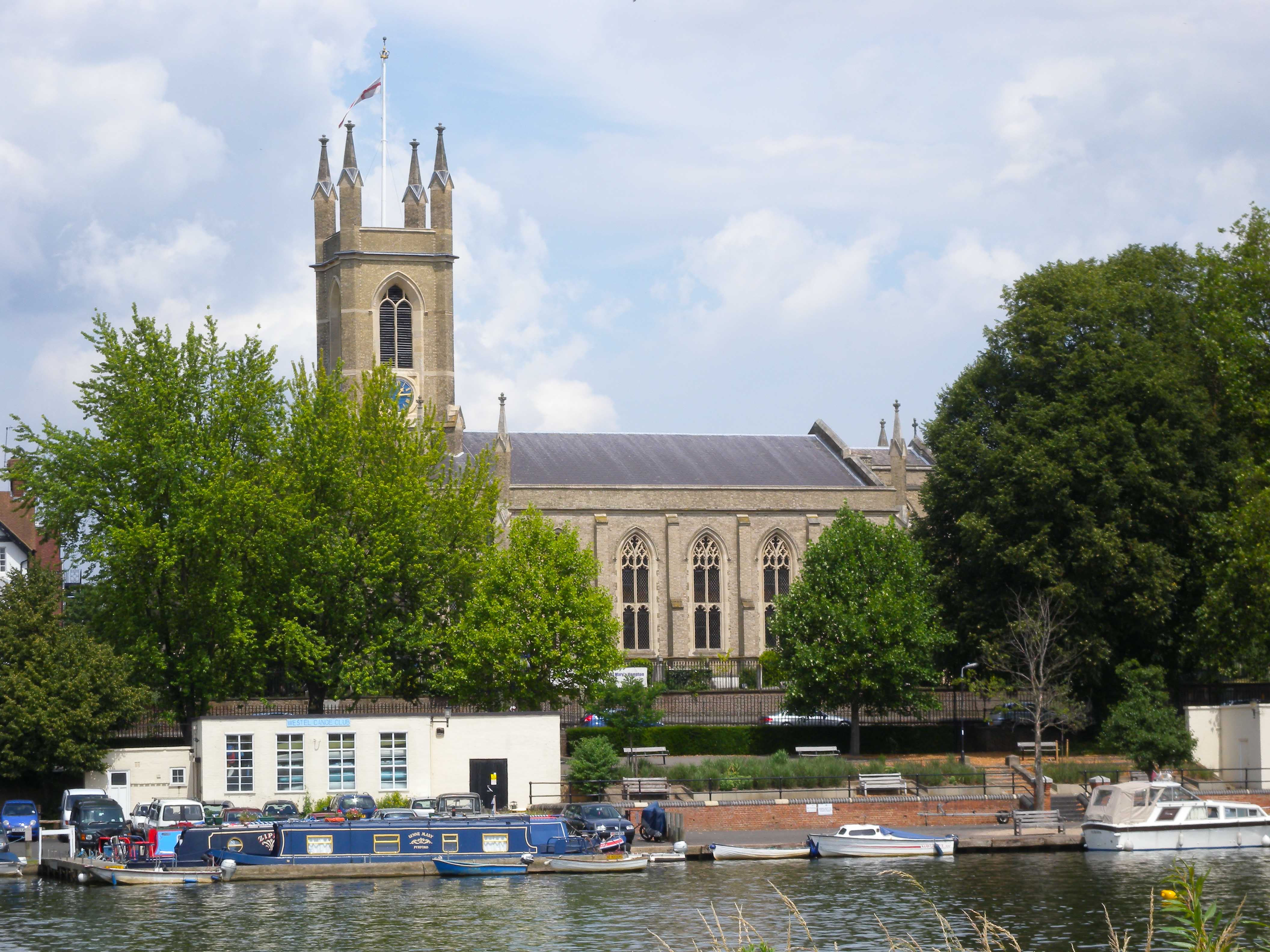
St Mary's Parish Church, Hampton
St Mary's Parish Church, Hampton, is an Anglican church in Hampton in the London Borough of Richmond upon Thames. == Location == St Mary's Parish Church...
Moulsey Hurst
Moulsey Hurst is in West Molesey, Surrey on the south bank of the River Thames above Molesey Lock. It is one of England's oldest sporting venues and was...

Benn's Island
Benn's Island, previously named Church Eyot, Kember's Eyot and sometimes referred to as Benn's Ait, is a private 0.1-acre (0.040 ha) ait (island) on the...
Related Videos

HAMPTON COURT CIRCULAR WALK BEGINNER WALKERS!! DAY SUNDAY | 🇬🇧 Hiking UK | England
This walk explores the two royal parks next to Hampton Court Palace. This was originally built for Cardinal Wolsey, but when he ...

Hampton Court and Bushy Park walk | The Best Walk Near London | 🇬🇧 Hiking UK | England
2 deer parks and a royal palace Length: 7km. Walk Notes Through Hampton Court and Bushy Parks. This walk is best avoided ...

Beginner Walkers!! Hampton Court Circular London Walk | Hiking UK | England 🇬🇧
Attention all beginner walkers! Embark on a delightful Hampton Court Circular London Walk, specially designed for those starting ...

Beginner Walkers!! Discover the Enchanting Hampton Court Walk | 🇬🇧 Hiking UK | England
Calling all beginner walkers! Embark on a delightful walking adventure along the enchanting Hampton Court Walk, perfect for ...
Nearby Amenities
Located within 500m of 51.411597,-0.36040974Have you been to Garrick's Eyot?
Leave your review of Garrick's Eyot below (or comments, questions and feedback).