Ferry Eyot

Island in Oxfordshire South Oxfordshire

England

Ferry Eyot

Road to Lashbrook House Still called Lashbrook Farm on older maps, the buildings over the bridge are now part of a nursing home.
The Lash Brook is a very short stream which flows for just over 1km along the base of the Chiltern slope.
A footpath to Shiplake Lock is on the right. The tree centre shot is home to quite a bit of mistletoe.
Road to Lashbrook House Credit: Des Blenkinsopp

Ferry Eyot is a small island located on the River Thames in Oxfordshire, England. It is situated approximately 2.5 miles downstream from the historic city of Oxford. The island covers an area of about 1.5 acres and is accessible by boat or footbridge from the nearby mainland.

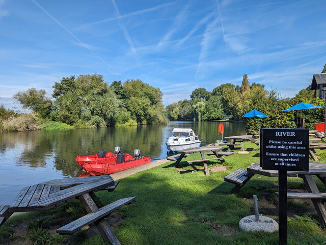
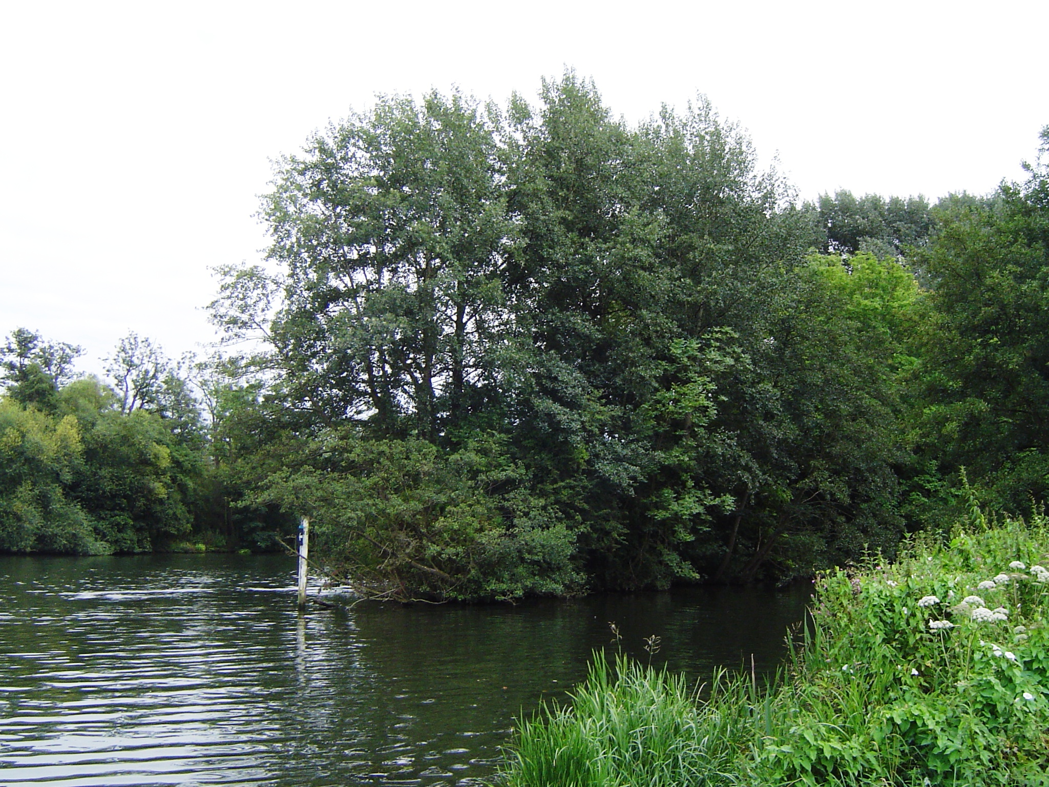
Ferry Eyot is a picturesque and tranquil spot, known for its natural beauty and wildlife. The island is mostly covered in lush vegetation, including tall grasses, trees, and various wildflowers. It provides a habitat for a range of bird species, including herons, kingfishers, and swans, making it a popular destination for birdwatchers and nature enthusiasts.

Historically, Ferry Eyot was used as a ferry crossing point on the River Thames. The island's name is derived from the Old English word "eyot," which means a small island. In the past, it served as a convenient stopover for travelers crossing the river.

Today, Ferry Eyot is primarily used for recreational purposes. It offers a peaceful retreat from the bustling city life, providing visitors with opportunities for picnicking, fishing, and leisurely walks along the riverbank. The island is also a favorite spot for boating and canoeing enthusiasts, who enjoy exploring the scenic waterways surrounding the island.

Overall, Ferry Eyot is a hidden gem in Oxfordshire, offering a serene escape into nature's tranquility.

If you have any feedback on the listing, please let us know in the comments section below.

Ferry Eyot Images

Images are sourced within 2km of 51.52085/-0.87904293 or Grid Reference SU7780. Thanks to Geograph Open Source API. All images are credited.

Road to Lashbrook House Still called Lashbrook Farm on older maps, the buildings over the bridge are now part of a nursing home.
The Lash Brook is a very short stream which flows for just over 1km along the base of the Chiltern slope.
A footpath to Shiplake Lock is on the right. The tree centre shot is home to quite a bit of mistletoe.
Road to Lashbrook House
Still called Lashbrook Farm on older maps, the buildings over the bridge are now part of a nursing home. The Lash Brook is a very short stream which flows for just over 1km along the base of the Chiltern slope. A footpath to Shiplake Lock is on the right. The tree centre shot is home to quite a bit of mistletoe.
The River Thames, Wargrave Looking from the garden of the St George and Dragon pub.
The River Thames, Wargrave
Looking from the garden of the St George and Dragon pub.
Marsh Lock, Henley on Thames, Oxon Taken from the deck of a 'steamer' boat waiting to be let out of the lock.
Marsh Lock, Henley on Thames, Oxon
Taken from the deck of a 'steamer' boat waiting to be let out of the lock.
The White House, Lower Shiplake
Frost and reflections, Hennerton Golf Club The golf club seems to be expanding northeastwards - this bit is under construction. The pond is probably just in SU7880 but the trees in SU7980
Frost and reflections, Hennerton Golf Club
The golf club seems to be expanding northeastwards - this bit is under construction. The pond is probably just in SU7880 but the trees in SU7980
Frost and trees, Hennerton Golf Club The new part of the golf course, just into this grid square.
Frost and trees, Hennerton Golf Club
The new part of the golf course, just into this grid square.
Frosty farmland, Crazies Hill
Frosty valley, Crazies Hill A dry valley leading down towards the Thames.
Frosty valley, Crazies Hill
A dry valley leading down towards the Thames.
Highland cattle near Cockpole Green Grateful for their shaggy coats, I should imagine, on such a frosty morning.
Highland cattle near Cockpole Green
Grateful for their shaggy coats, I should imagine, on such a frosty morning.
Reflection of moon and trees, Hennerton Golf Club A still, frosty morning on the new part of the golf course.
Reflection of moon and trees, Hennerton Golf Club
A still, frosty morning on the new part of the golf course.
Frosty meadows near Wargrave Between the A321 and the Hennerton Backwater
Frosty meadows near Wargrave
Between the A321 and the Hennerton Backwater
Frosty fields and fence near Cockpole Green Behind Hatchgate House
Frosty fields and fence near Cockpole Green
Behind Hatchgate House
Frosty hillside, near Wargrave Hennerton House is on the horizon in amongst the trees.
Frosty hillside, near Wargrave
Hennerton House is on the horizon in amongst the trees.
Near Remenham Hill The road to Upper Culham Farm. Ashley Hill can be seen sticking out of the mist.
Near Remenham Hill
The road to Upper Culham Farm. Ashley Hill can be seen sticking out of the mist.
Aspect Park Golf Centre Looking up the 18th fairway.
Aspect Park Golf Centre
Looking up the 18th fairway.
Aspect Park Golf Centre Looking west from the first green
Aspect Park Golf Centre
Looking west from the first green
St Margaret's, Harpsden
Harpsden Way
Harpsden Way
Show me another place!

Ferry Eyot is located at Grid Ref: SU7780 (Lat: 51.52085, Lng: -0.87904293)

Administrative County: Oxfordshire

District: South Oxfordshire

Police Authority: Thames Valley

What 3 Words

///blurts.swims.frog. Near Henley-on-Thames, Oxfordshire

Related Wikis

Ferry Eyot

Ferry Eyot or Ferry Ait is an island in the River Thames in England near the villages of Shiplake, Oxfordshire and Wargrave, Berkshire. It is on the reach...

Hennerton Backwater

Hennerton Backwater is a narrow backwater of the River Thames on the reach above Marsh Lock near the villages of Shiplake, Oxfordshire and Wargrave, Berkshire...

Poplar Eyot

Poplar Eyot or Poplar Ait is an island in the River Thames in England near the villages of Shiplake, Oxfordshire and Wargrave, Berkshire. It is on the...

Handbuck Eyot

Handbuck Eyot or Handbuck Ait is a thin, wooded island in the River Thames in England towards the eastern edge of the villages of Shiplake, Oxfordshire...

Conway's Bridge

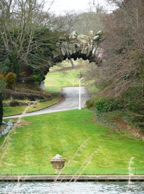
Conway's Bridge (aka Conway Bridge or the "Ragged Arch") is an ornamental rustic arched stone structure close to the River Thames on the estate of Park...
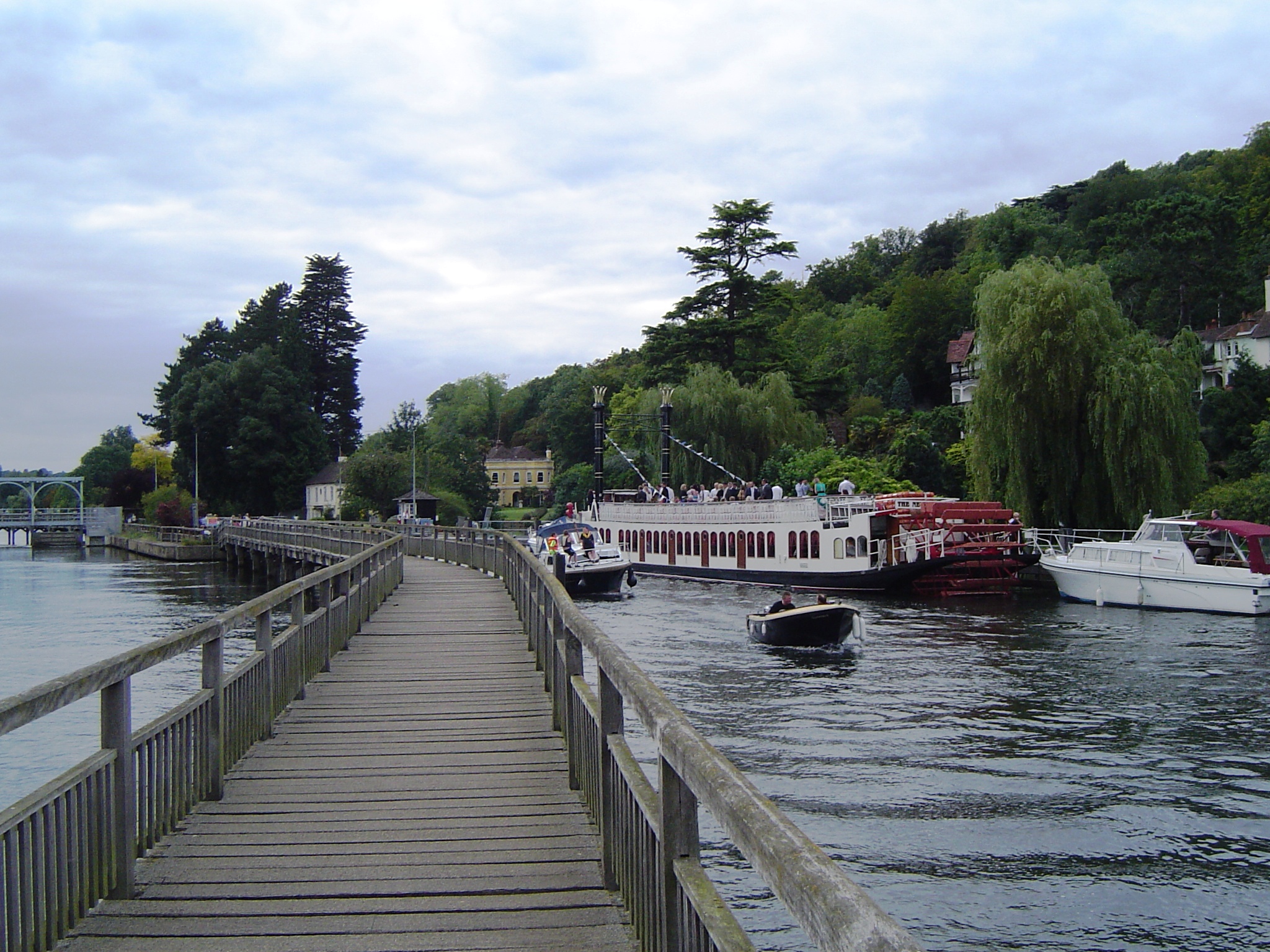
Marsh Lock

Marsh Lock is a lock and weir situated on the River Thames in England, about 1 mile upstream of Henley Bridge in Henley-on-Thames, Oxfordshire. The lock...

Shiplake railway station

Shiplake railway station is in the village of Lower Shiplake (formerly Lashbrook) in Oxfordshire, England. The station is on the Henley-on-Thames branch...

Henley Town F.C.

Henley Town Football Club is a football club based in Henley-on-Thames in Oxfordshire, England. They are currently members of the Thames Valley Premier...

Nearby Amenities

Located within 500m of 51.52085,-0.87904293
Post Box
Collection Times: Mo-Fr 16:15, Sa 10:30
Operator: Royal Mail
Ref: RG10 407
Royal Cypher: EIIR
Royal Cypher Wikidata: Q33102113
Lat/Long: 51.5198435/-0.8727346
Railway: level_crossing
Lat/Long: 51.5197542/-0.8824813
Bus Stop
Bench: no
Bus: yes
Departures Board: no
Naptan AtcoCode: 035090760002
Naptan NaptanCode: wokdpwd
Operator: Arriva
Public Transport: platform
Shelter: no
Lat/Long: 51.5208348/-0.8736482
Bus Stop
Bench: no
Bus: yes
Departures Board: no
Naptan AtcoCode: 035090780001
Naptan NaptanCode: wokdpwg
Operator: Arriva
Public Transport: platform
Shelter: no
Lat/Long: 51.5238364/-0.8775786
The data included in this document is from www.openstreetmap.org. The data is made available under ODbL.

Have you been to Ferry Eyot?

Leave your review of Ferry Eyot below (or comments, questions and feedback).