Handbuck Eyot
Island in Oxfordshire South Oxfordshire
England
Handbuck Eyot
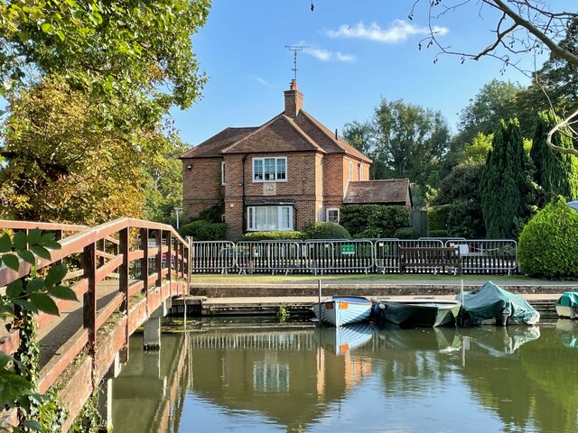
Handbuck Eyot is a small island located in the River Thames in Oxfordshire, England. It is situated approximately 2 miles southwest of the city of Oxford. The island covers an area of about 6 acres and is accessible by boat or footbridge.
The name "Eyot" refers to a small river island, typically found in the Thames. Handbuck Eyot is known for its picturesque and tranquil setting, surrounded by lush greenery and offering stunning views of the river. The island is privately owned and serves as a residential area, with a few houses and cottages scattered across its landscape.
Due to its size and limited facilities, Handbuck Eyot is primarily a residential community rather than a tourist destination. The island provides a peaceful retreat away from the bustling city life, attracting those seeking a quiet and idyllic living environment.
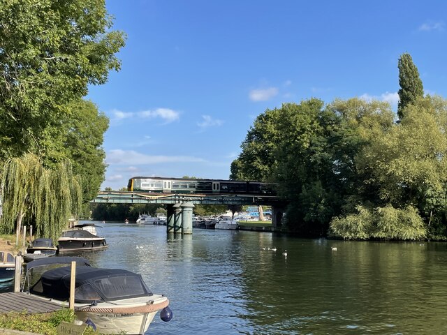
The island's location on the Thames makes it a popular spot for boating enthusiasts, as well as fishing enthusiasts who can enjoy angling in the river's abundant waters. The surrounding area offers opportunities for leisurely walks and cycling along the riverside paths.
Overall, Handbuck Eyot is a charming and secluded island, offering a serene and private lifestyle for its residents. Its natural beauty and proximity to the historic city of Oxford make it an attractive place to live for those seeking a peaceful riverside retreat.
If you have any feedback on the listing, please let us know in the comments section below.
Handbuck Eyot Images
Images are sourced within 2km of 51.515562/-0.88081566 or Grid Reference SU7780. Thanks to Geograph Open Source API. All images are credited.


Handbuck Eyot is located at Grid Ref: SU7780 (Lat: 51.515562, Lng: -0.88081566)
Administrative County: Oxfordshire
District: South Oxfordshire
Police Authority: Thames Valley
What 3 Words
///dusters.ticket.sensibly. Near Wargrave, Berkshire
Nearby Locations
Related Wikis

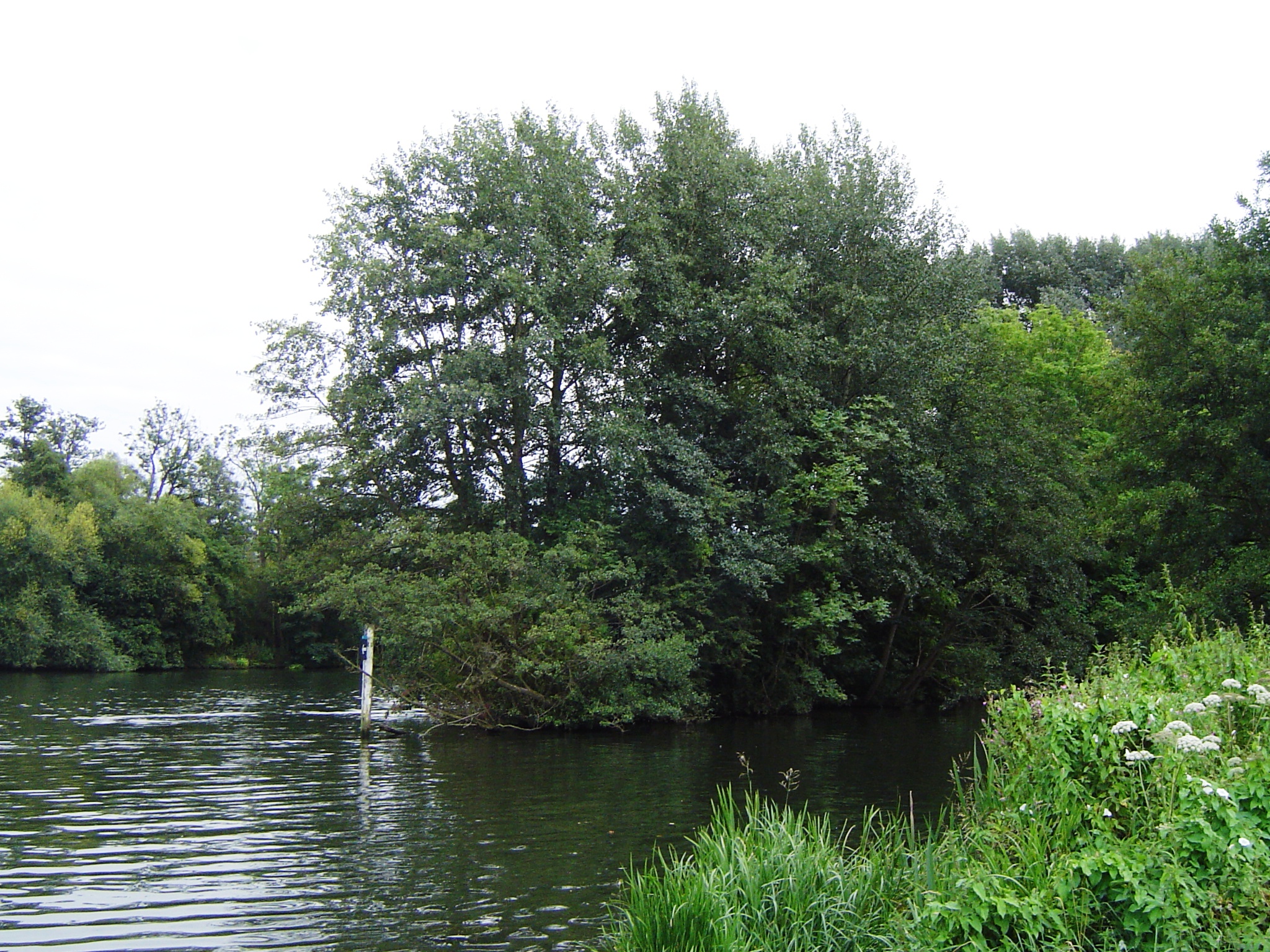
Handbuck Eyot
Handbuck Eyot or Handbuck Ait is a thin, wooded island in the River Thames in England towards the eastern edge of the villages of Shiplake, Oxfordshire...

Poplar Eyot
Poplar Eyot or Poplar Ait is an island in the River Thames in England near the villages of Shiplake, Oxfordshire and Wargrave, Berkshire. It is on the...

Shiplake railway station
Shiplake railway station is in the village of Lower Shiplake (formerly Lashbrook) in Oxfordshire, England. The station is on the Henley-on-Thames branch...
Ferry Eyot
Ferry Eyot or Ferry Ait is an island in the River Thames in England near the villages of Shiplake, Oxfordshire and Wargrave, Berkshire. It is on the reach...

Hennerton Backwater
Hennerton Backwater is a narrow backwater of the River Thames on the reach above Marsh Lock near the villages of Shiplake, Oxfordshire and Wargrave, Berkshire...
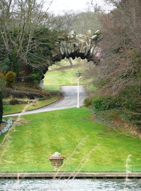
Conway's Bridge
Conway's Bridge (aka Conway Bridge or the "Ragged Arch") is an ornamental rustic arched stone structure close to the River Thames on the estate of Park...
Unnamed Eyot
The unnamed eyot is an island in the River Thames in Berkshire, England, north of the village of Wargrave, Berkshire, its parish in civil terms and ecclesiastical...
Marsh Lock
Marsh Lock is a lock and weir situated on the River Thames in England, about 1 mile upstream of Henley Bridge in Henley-on-Thames, Oxfordshire. The lock...
Nearby Amenities
Located within 500m of 51.515562,-0.88081566Have you been to Handbuck Eyot?
Leave your review of Handbuck Eyot below (or comments, questions and feedback).