Buck's Eyot
Island in Oxfordshire
England
Buck's Eyot

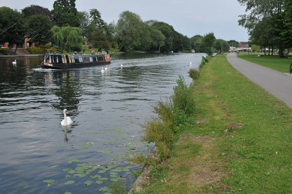
Buck's Eyot, located in Oxfordshire, England, is a picturesque island situated on the River Thames. This small but charming island covers an area of approximately 2.5 acres and is accessible by a footbridge from the neighboring mainland. The name "eyot" refers to a small island or islet, often found in rivers, and Buck's Eyot aptly fits this definition.
The island is known for its natural beauty and tranquil surroundings, making it a popular destination for nature lovers and those seeking a peaceful escape from the bustling city life. Lush greenery, including a variety of trees and shrubs, adorn the island's landscape. The serene river flowing around the island enhances its idyllic setting.
Although Buck's Eyot is primarily a nature reserve, it also boasts a few recreational facilities. Visitors can enjoy walking or picnicking on the island's grassy fields, while benches are strategically placed for those seeking a moment of relaxation. The island provides a haven for numerous bird species, making it a haven for birdwatching enthusiasts.
The island's accessibility from the mainland ensures its popularity among locals and tourists alike. Its proximity to the historic city of Oxford, just a few miles away, makes it an easily accessible day trip destination. Buck's Eyot serves as a tranquil oasis, offering a respite from the hustle and bustle of urban life, and a chance to reconnect with nature in the heart of Oxfordshire.
If you have any feedback on the listing, please let us know in the comments section below.
Buck's Eyot Images
Images are sourced within 2km of 51.469655/-1.0040988 or Grid Reference SU6974. Thanks to Geograph Open Source API. All images are credited.


Buck's Eyot is located at Grid Ref: SU6974 (Lat: 51.469655, Lng: -1.0040988)
Unitary Authority: Reading
Police Authority: Thames Valley
What 3 Words
///grand.lives.enable. Near Reading, Berkshire
Nearby Locations
Related Wikis

St Mary's Island, River Thames
St Mary's Island is a tiny island in the River Thames in England. It has a size of about 150 m by 50 m.The island is on the reach above Caversham Lock...

Chazey Court Barn
Chazey Court Barn is a 17th-century Grade I listed building in the town of Reading in England. It forms part of the Chazey Court Farm complex and is situated...

Reading Festival bridge
The Reading Festival bridge is a temporary footbridge over the River Thames near Reading, Berkshire. First built in 2008, the bridge is installed annually...

Woodley United F.C.
Woodley United Football Club is a football club based in Woodley, Berkshire, England. Formed in 2015 by a merger of Woodley Town and Woodley Hammers, the...
Reading City F.C.
Reading City Football Club is a football club based in Reading, Berkshire, England. They are currently members of the Combined Counties League Premier...
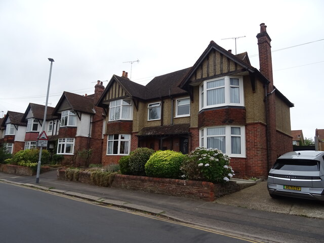
Oxford Road, Reading
Oxford Road is an urban street and major arterial road in Reading, Berkshire, England, Beginning near the town centre at the meeting of St. Mary's Butts/West...

Appletree Eyot
Appletree Eyot is an island in the River Thames at Reading, Berkshire, in England. The island is on the reach above Caversham Lock about 3 km (1.9 mi)...
Thameside Promenade
Thameside Promenade, or Thames Side Promenade, is a public park and promenade in Reading, Berkshire, England, located next to the River Thames. It stretches...
Nearby Amenities
Located within 500m of 51.469655,-1.0040988Have you been to Buck's Eyot?
Leave your review of Buck's Eyot below (or comments, questions and feedback).